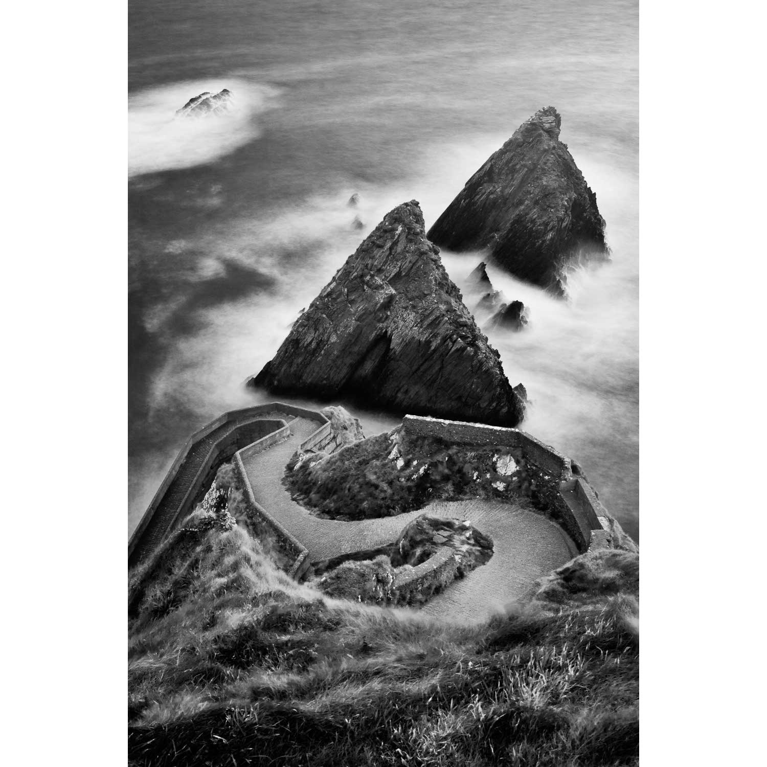
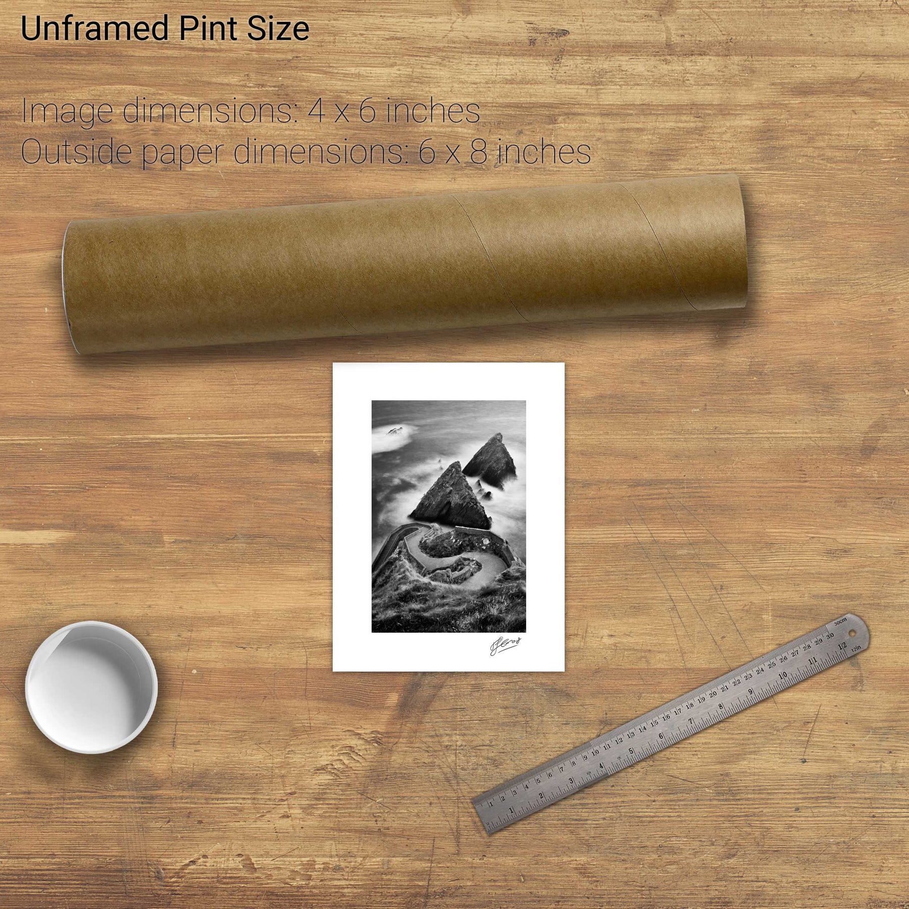
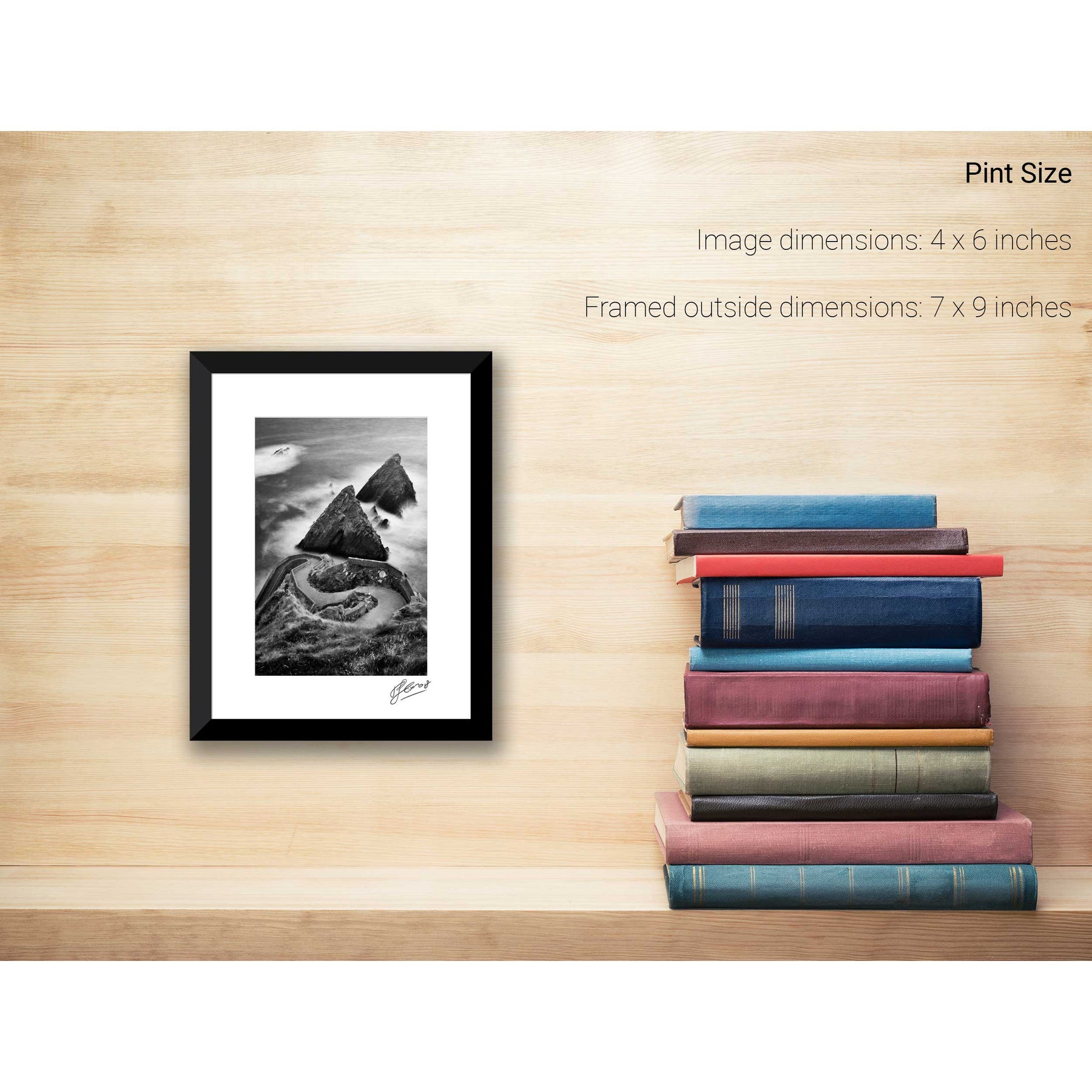
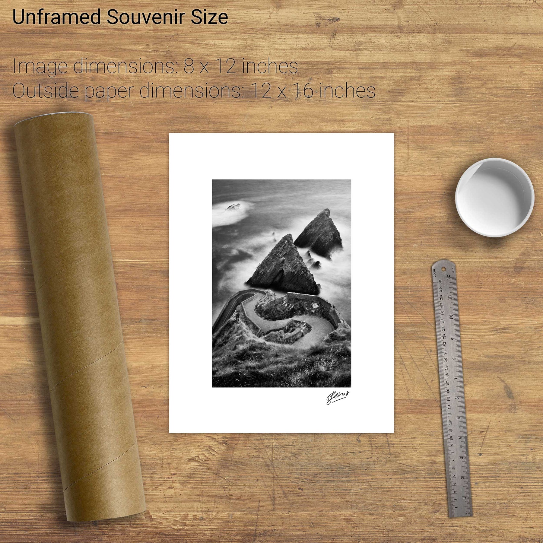
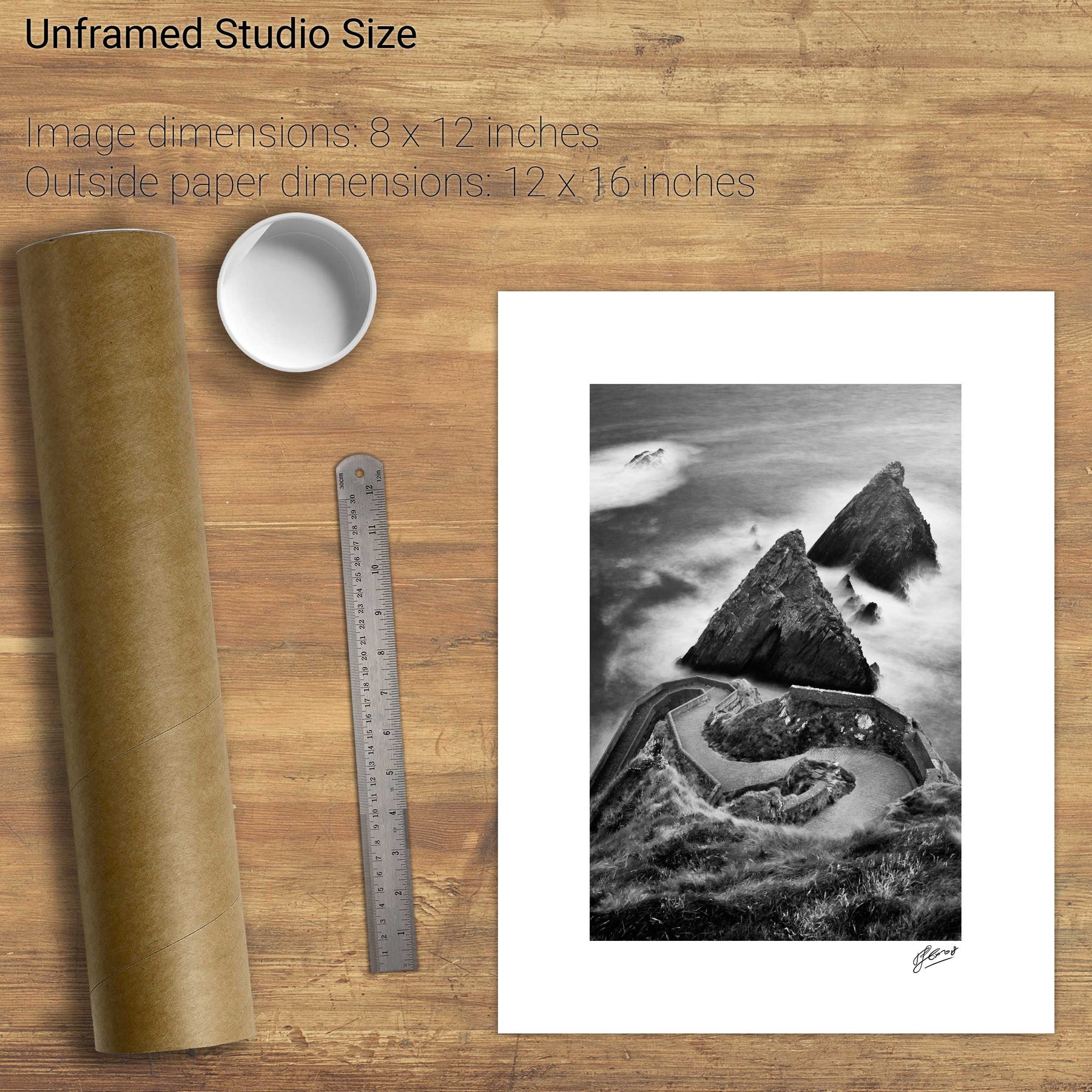
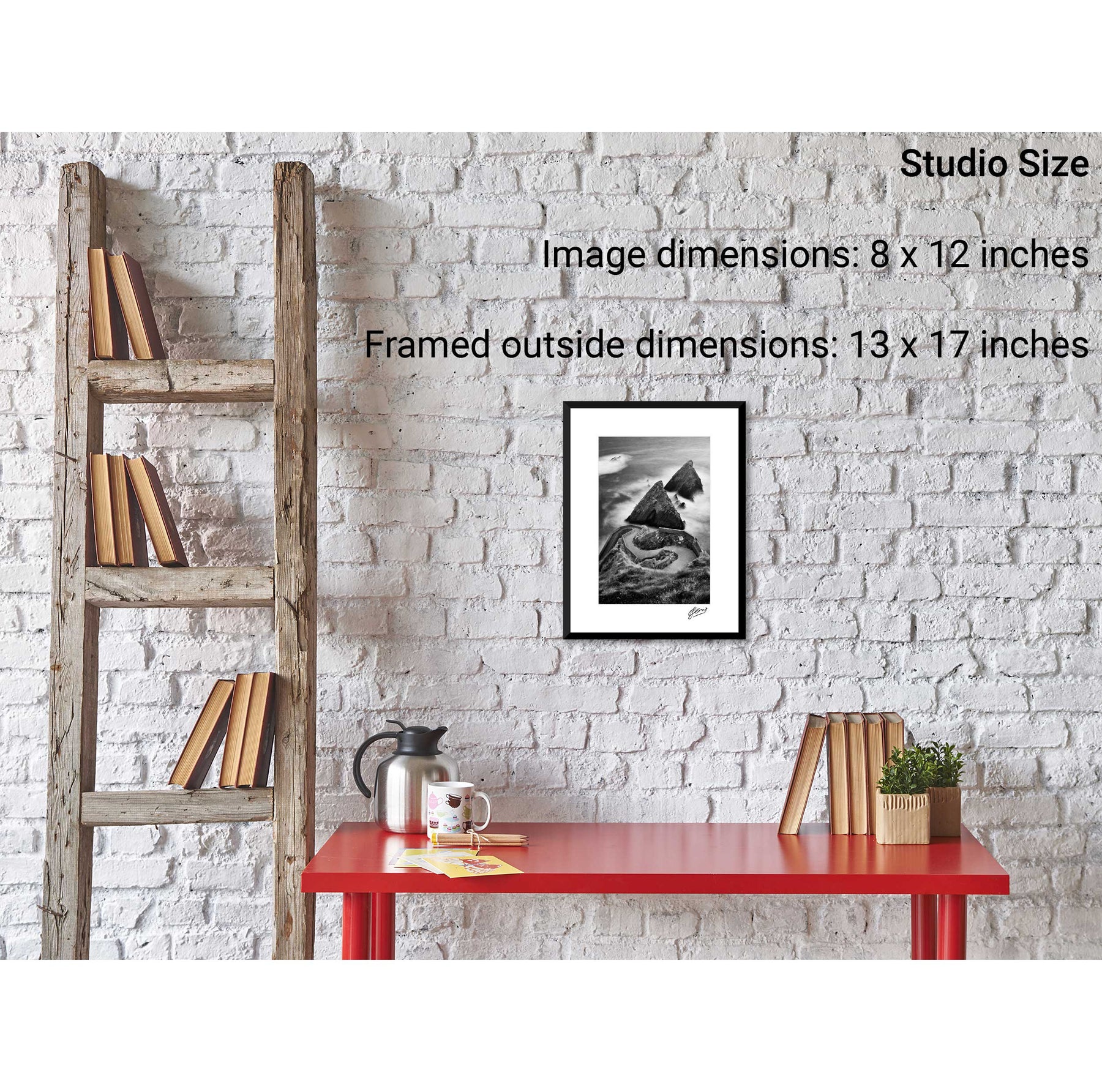
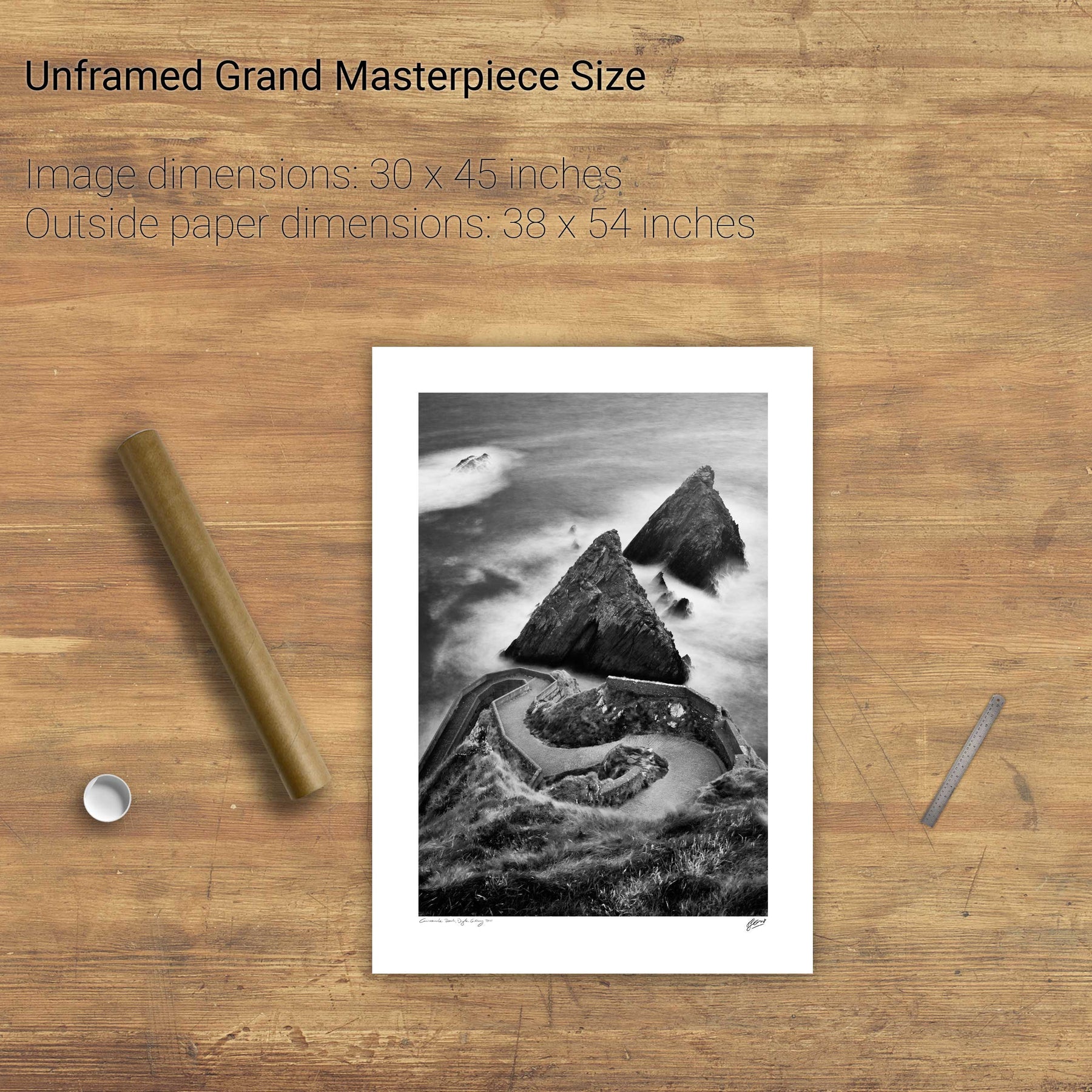
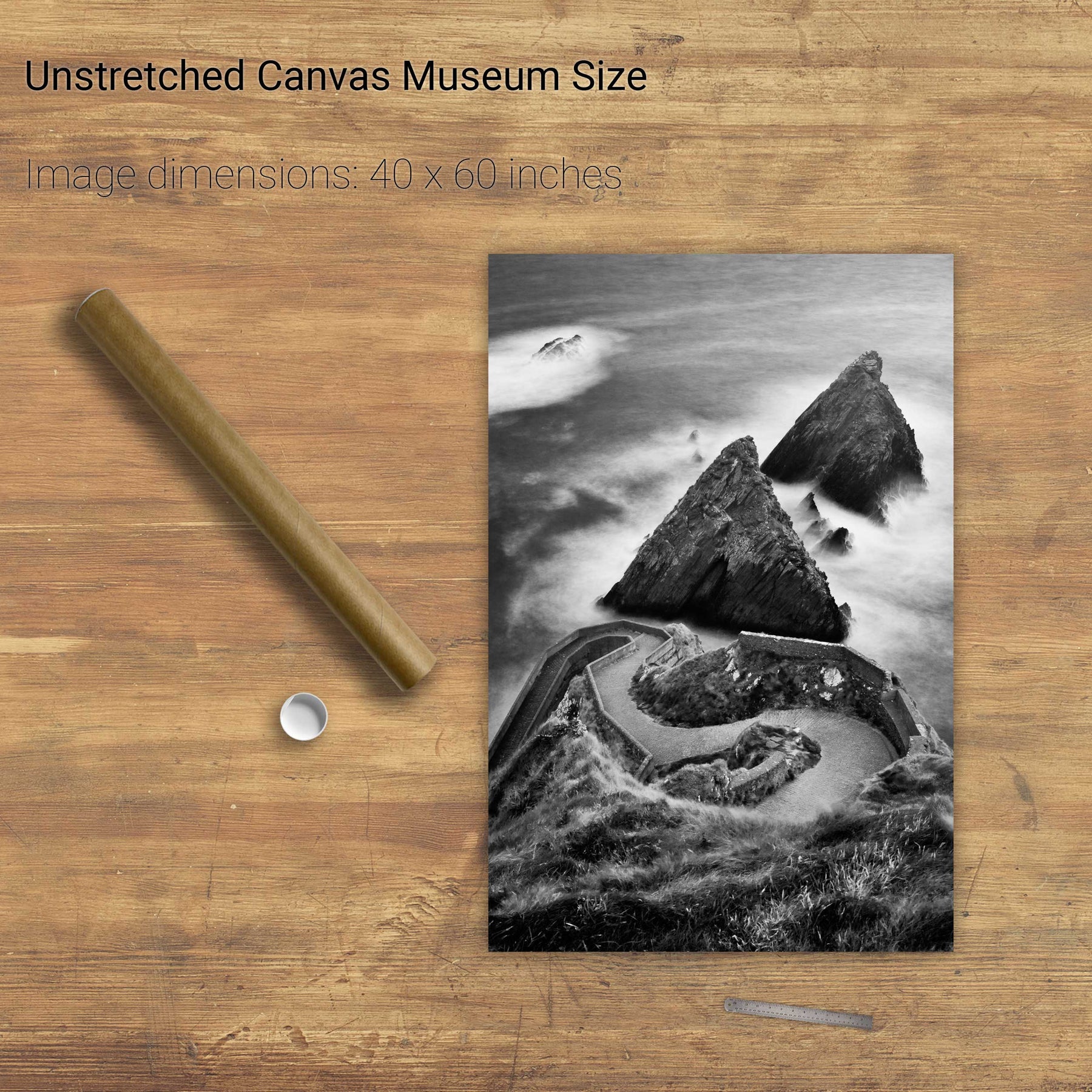
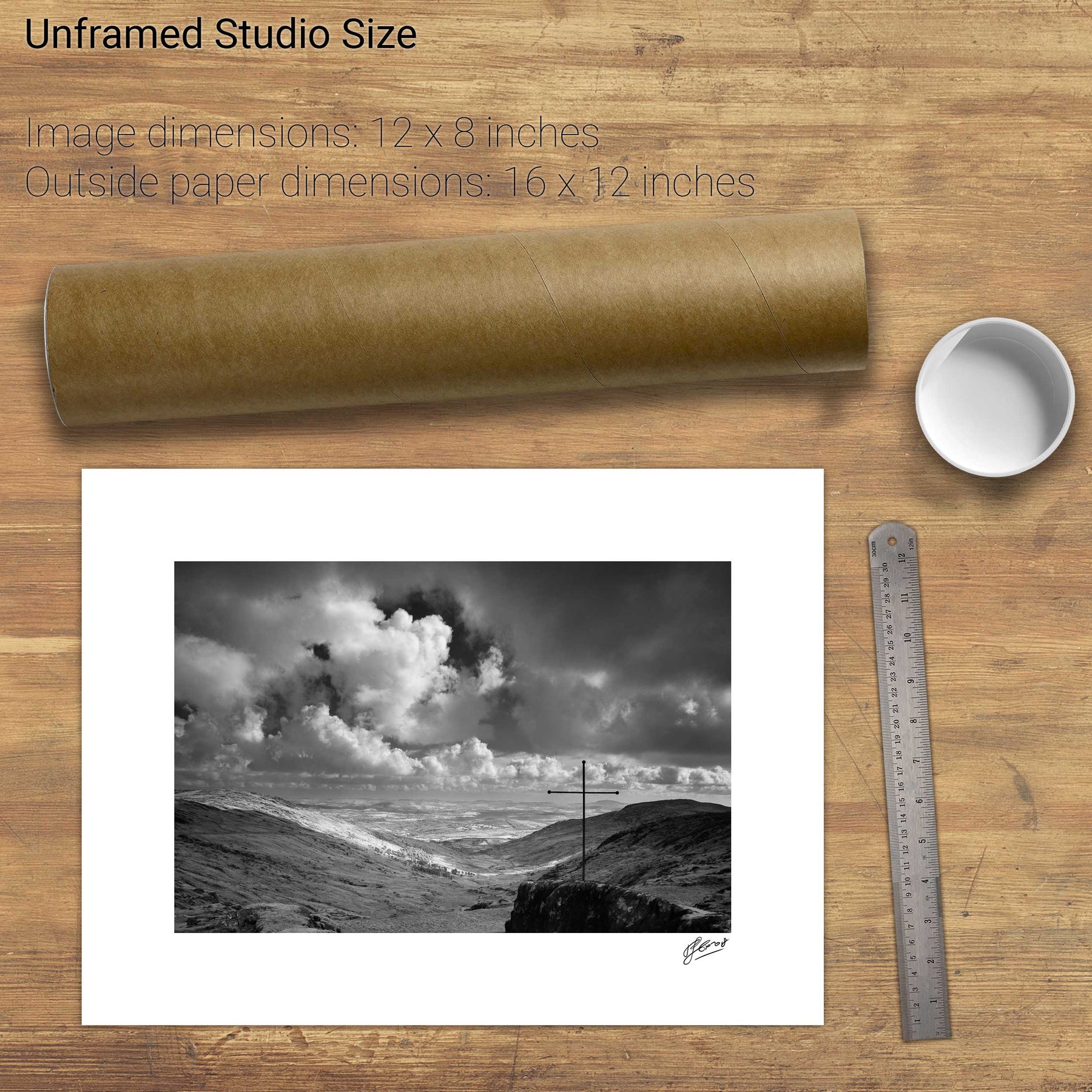
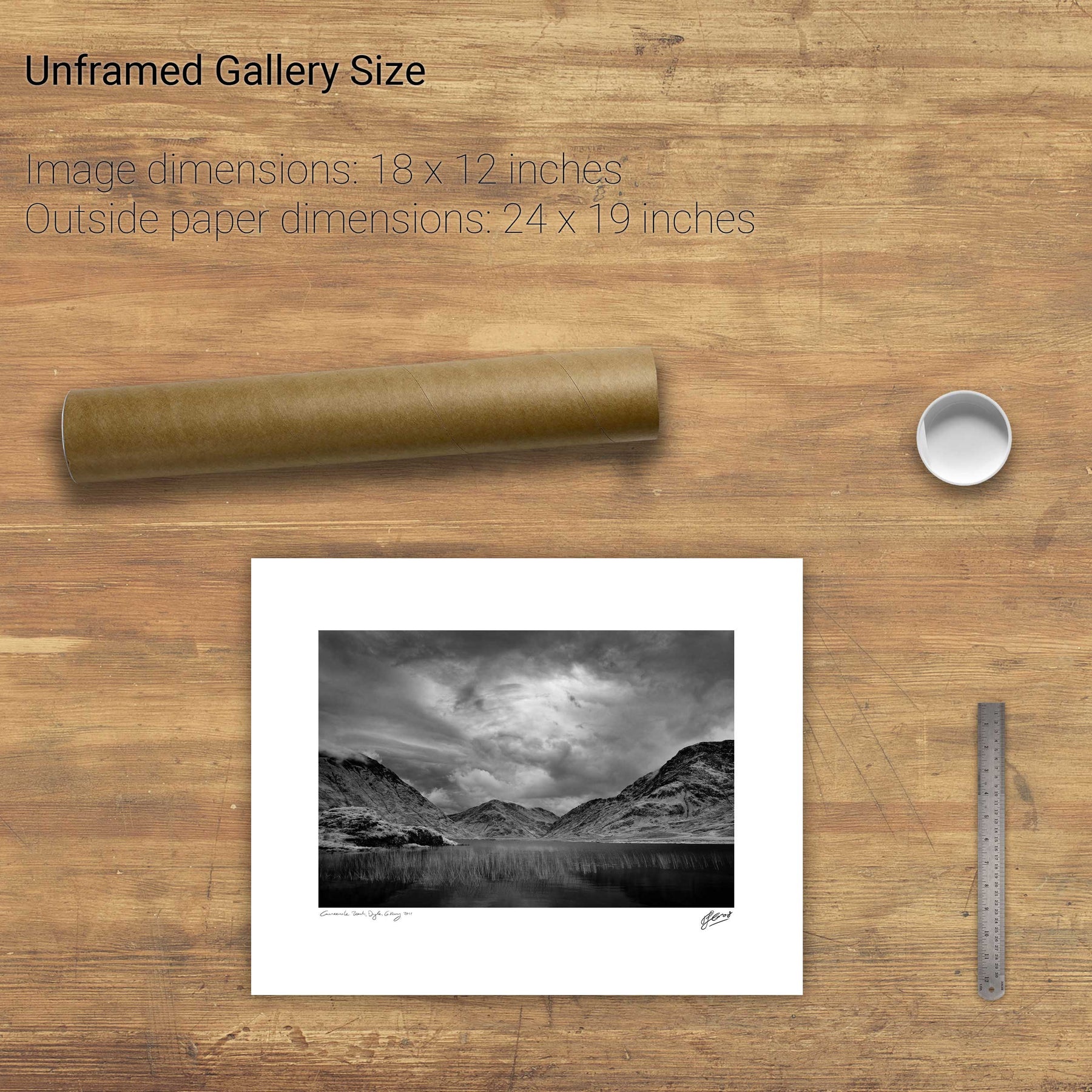
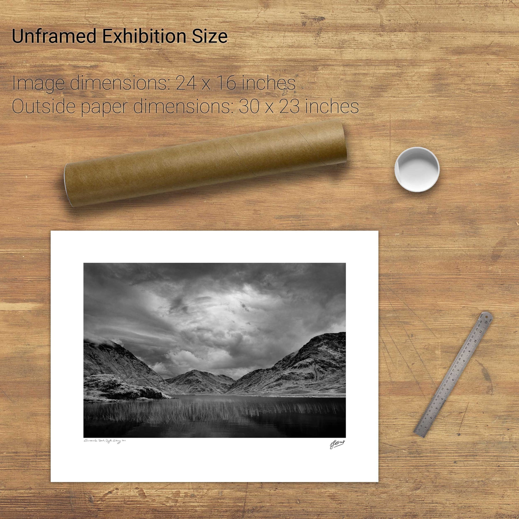
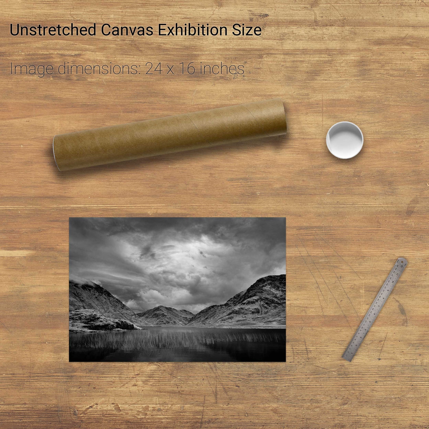
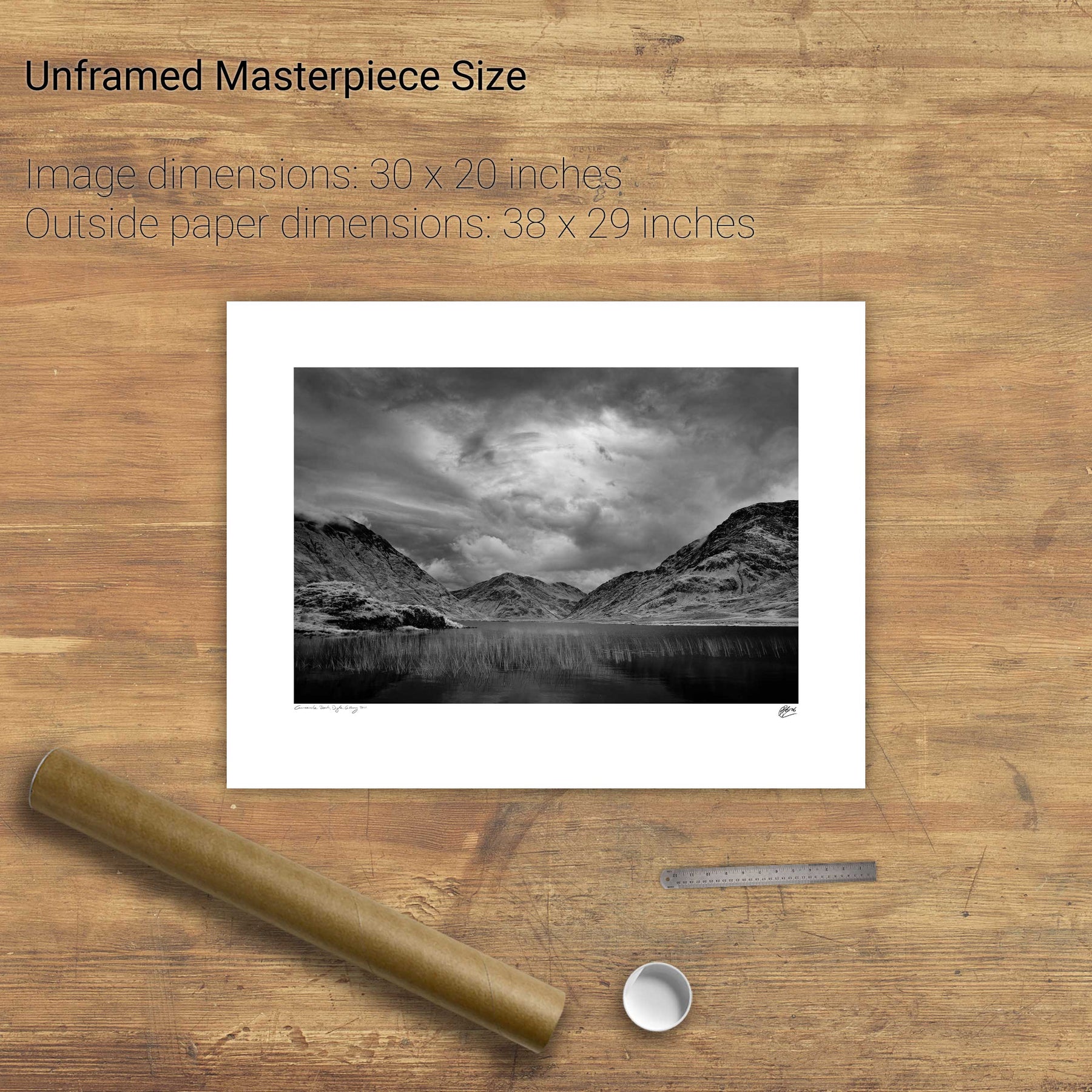
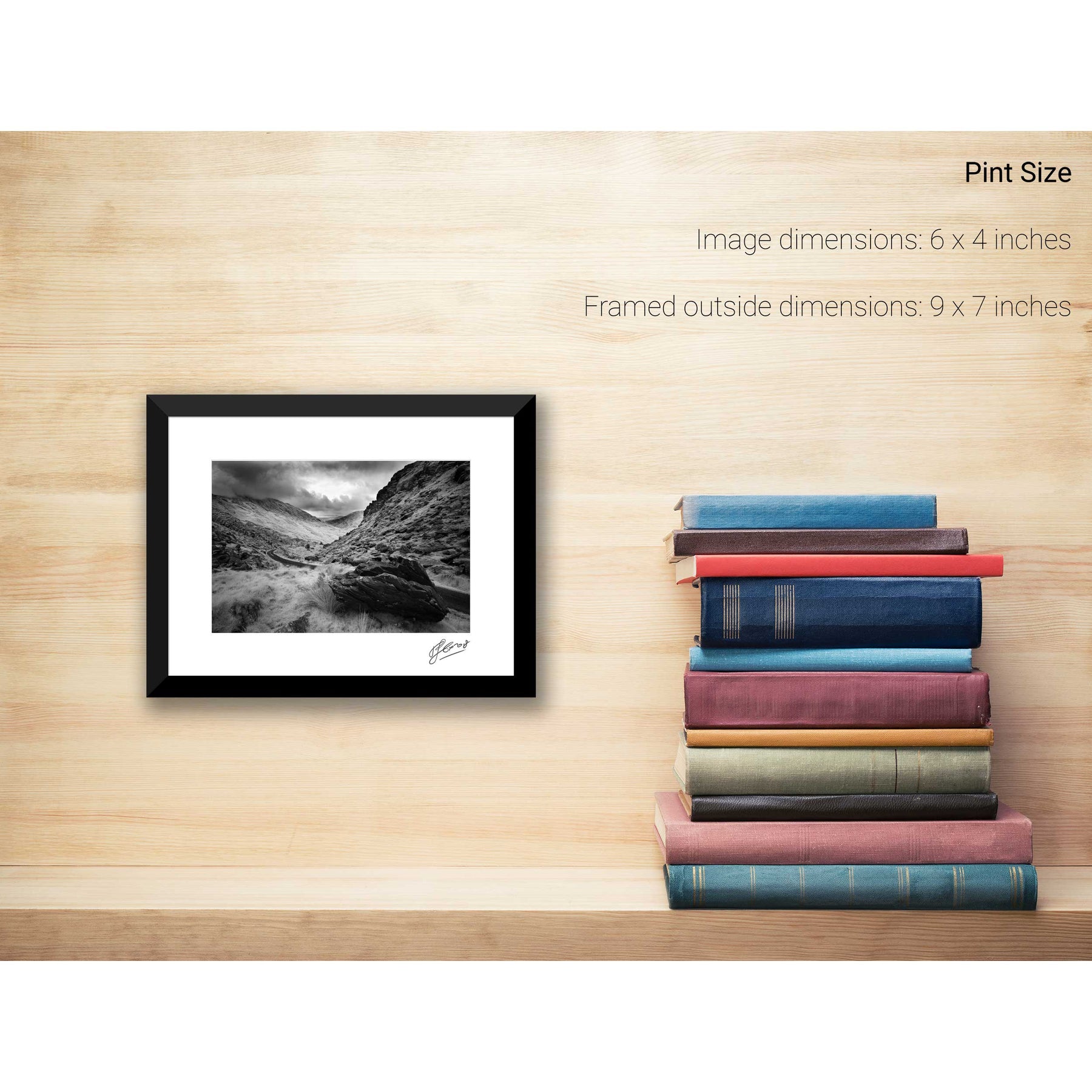
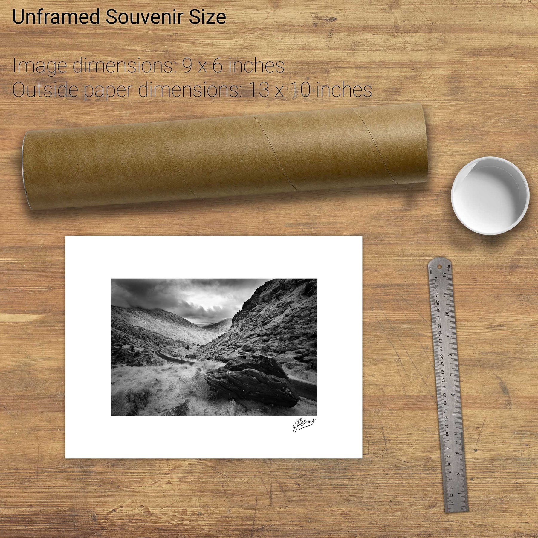
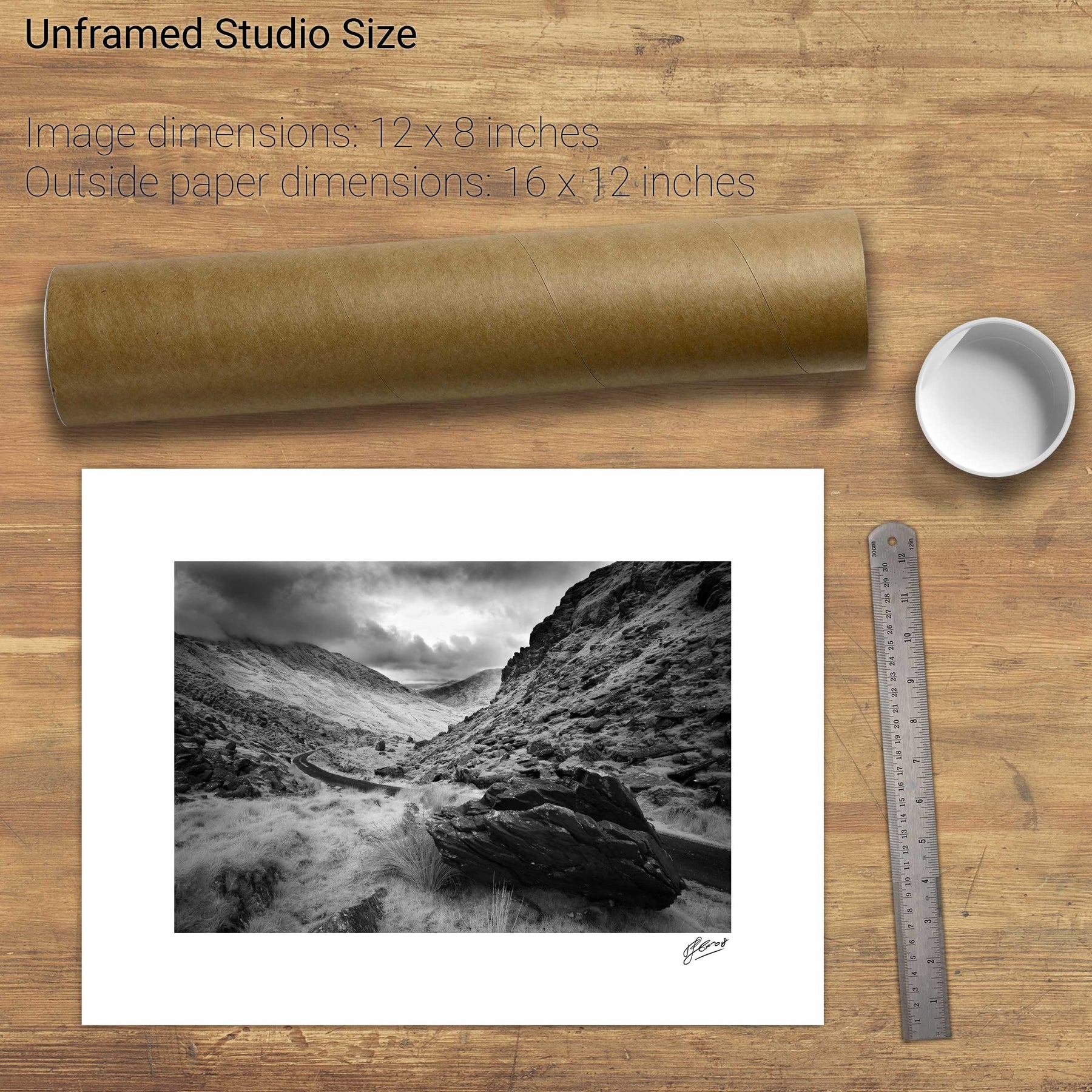
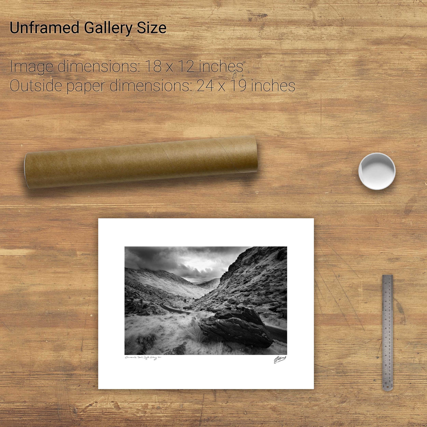
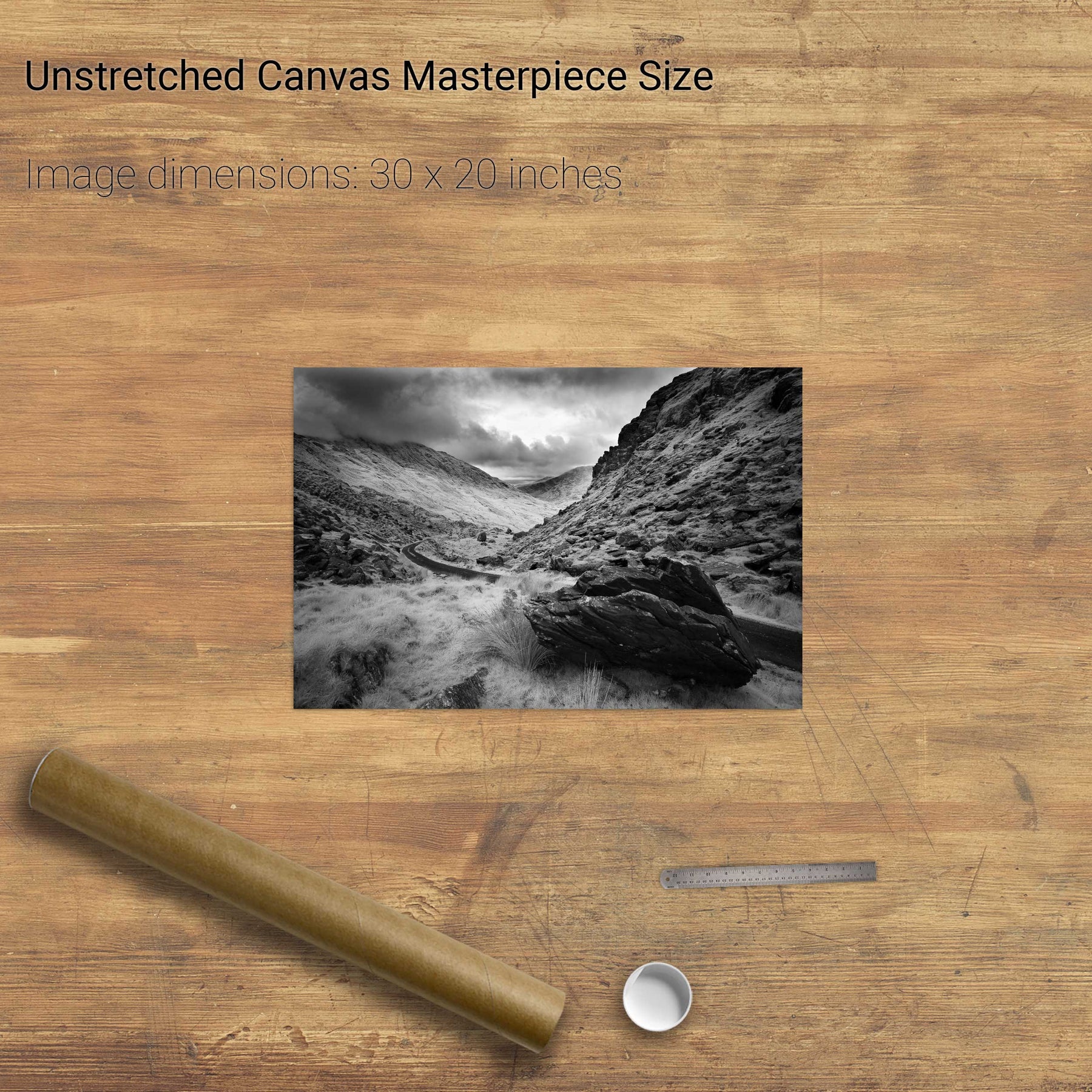
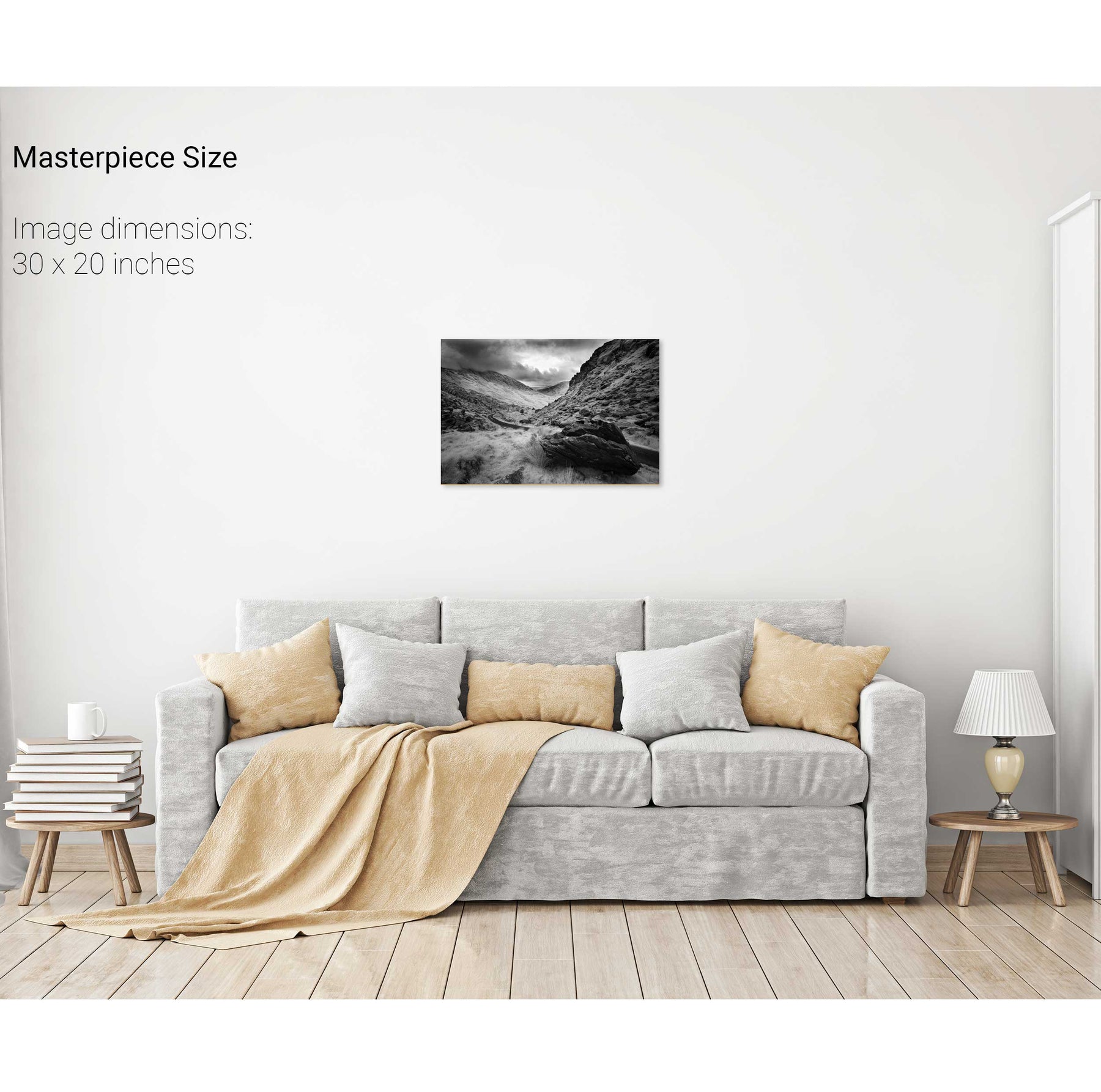
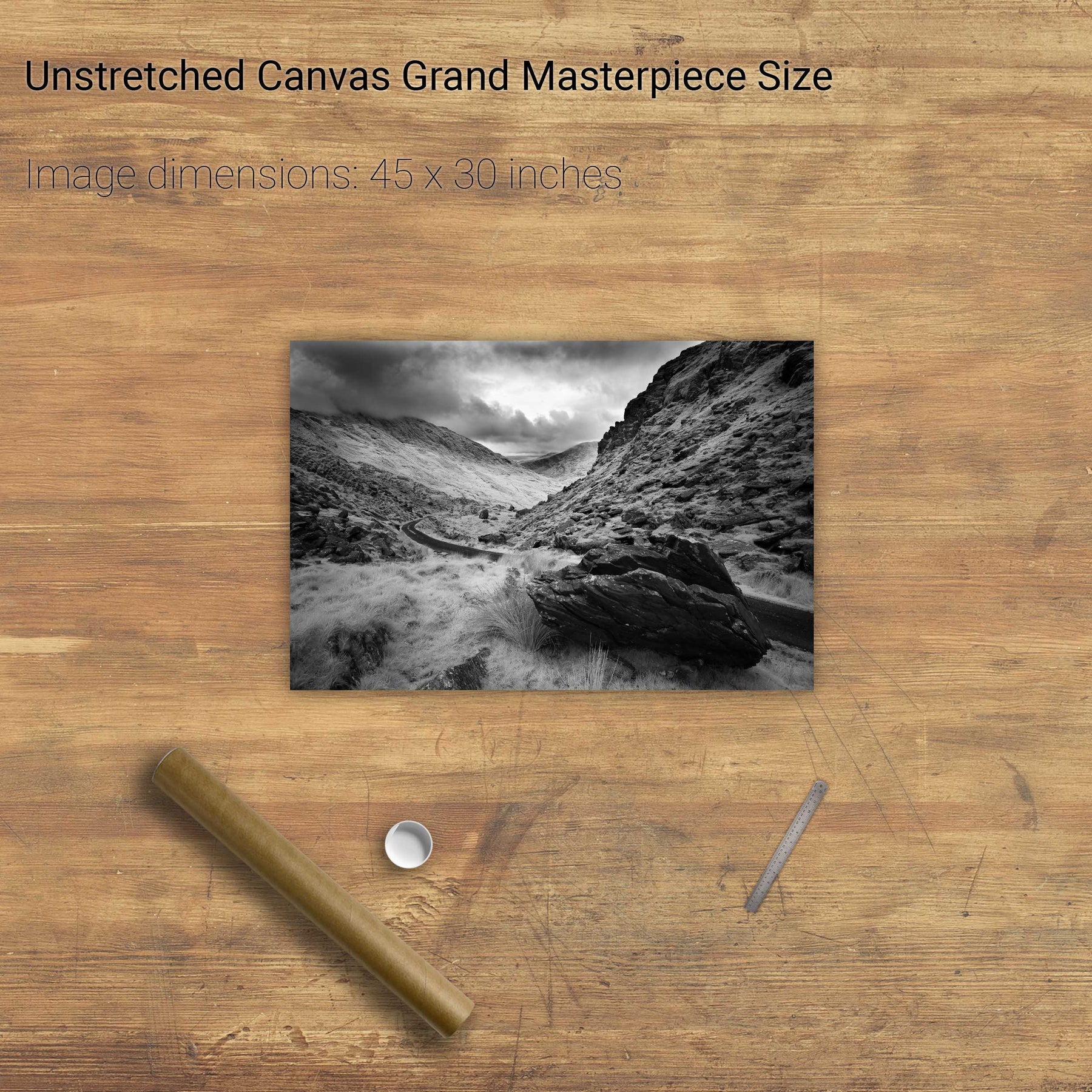
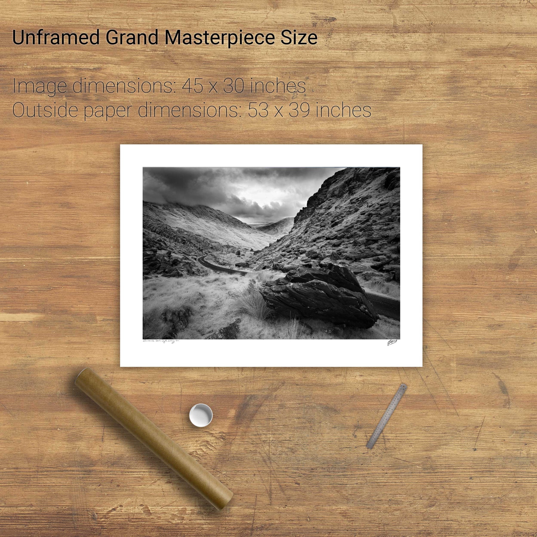
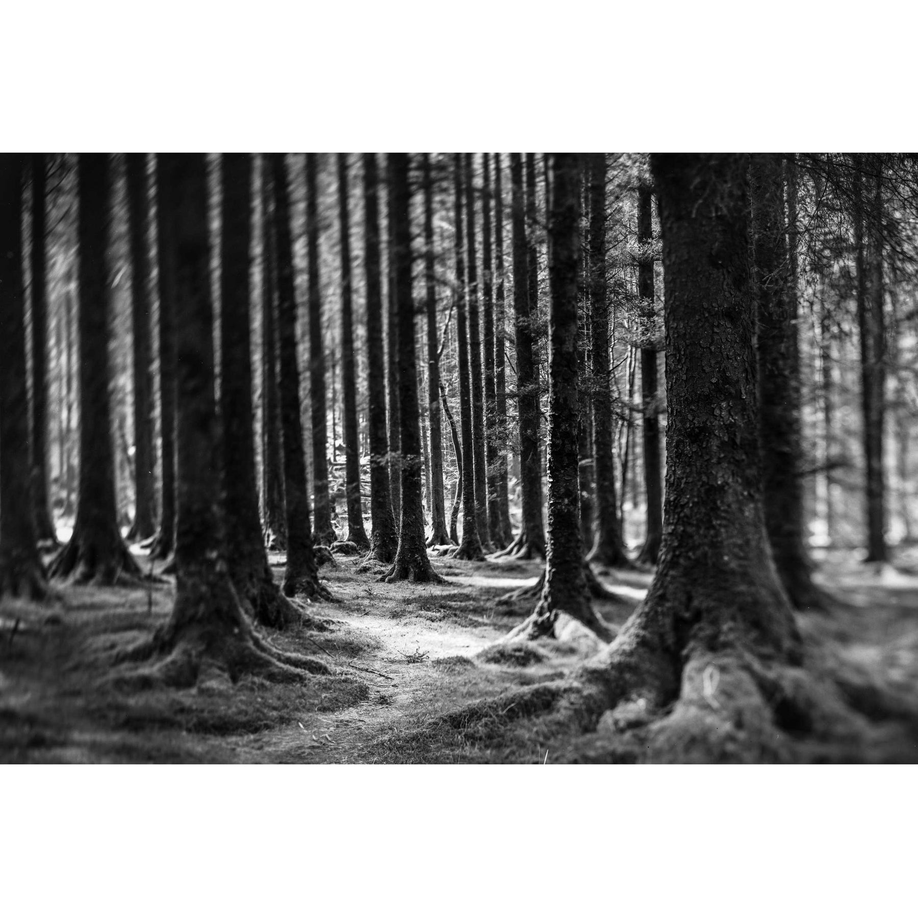
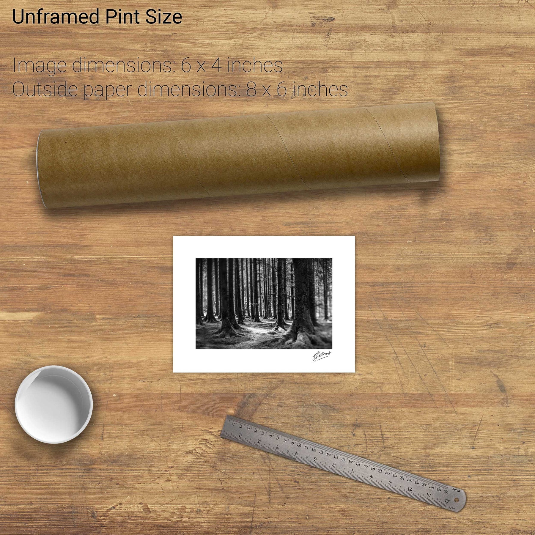
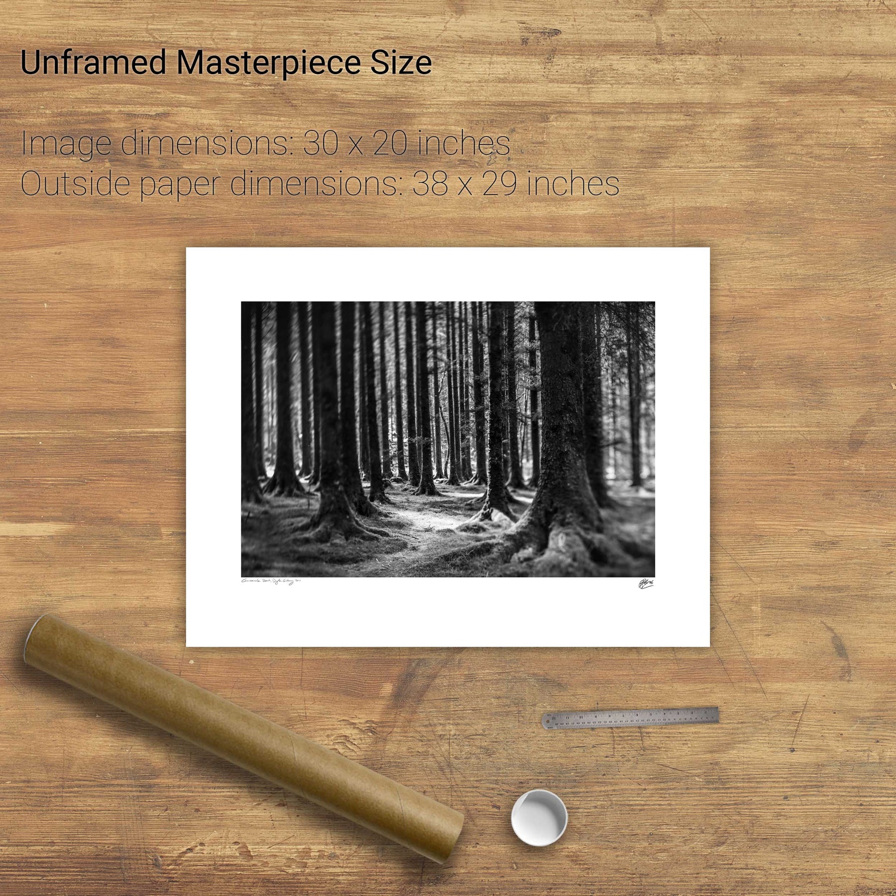
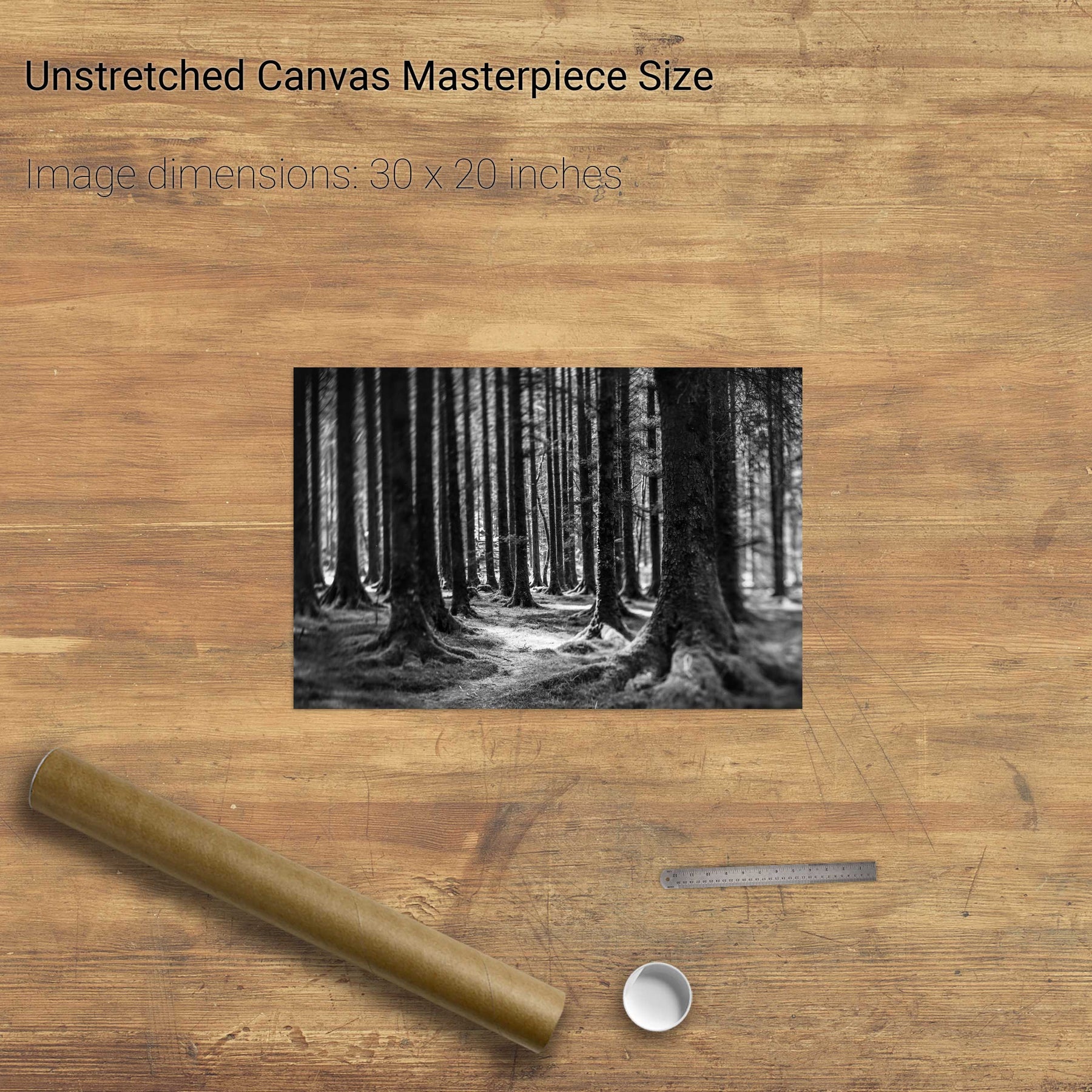
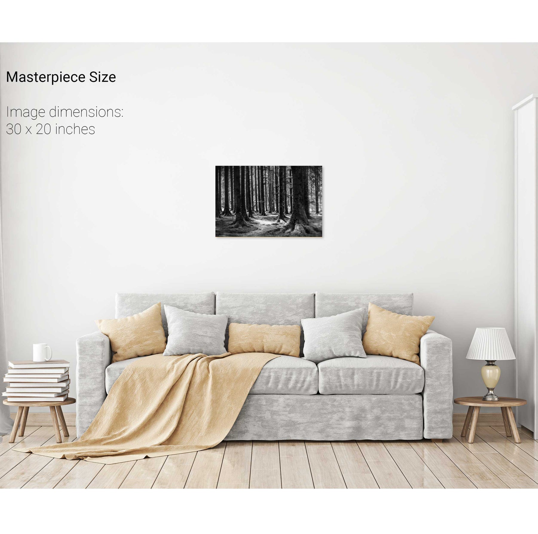
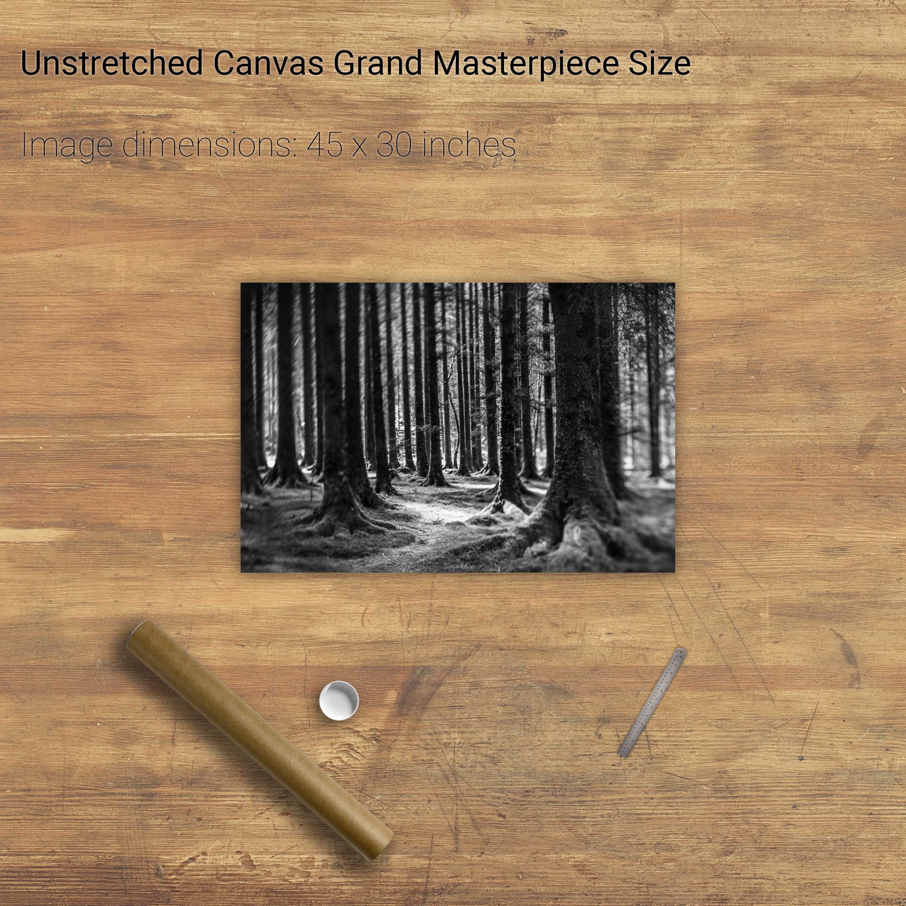
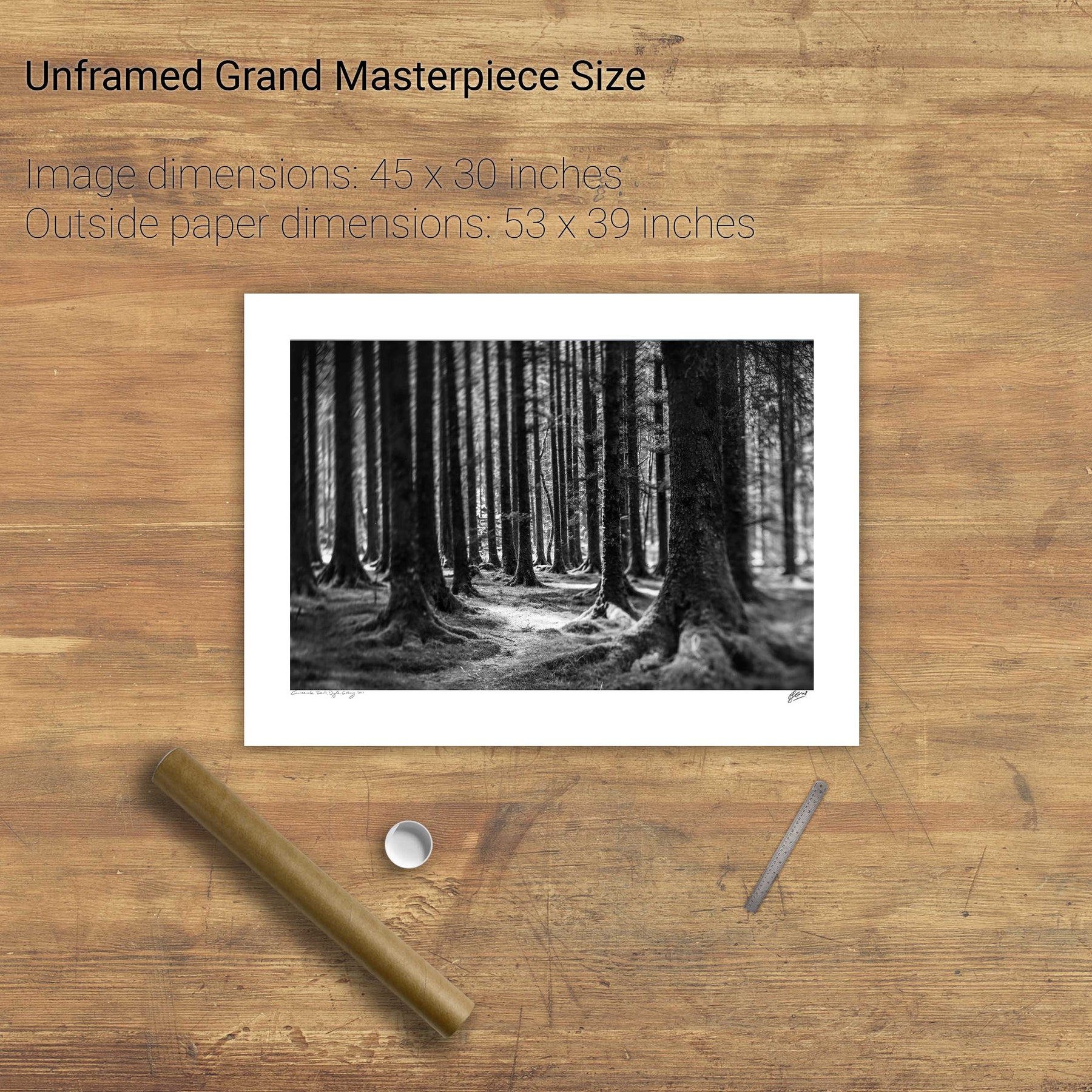
The Twisting Path, Gougane Barra, Cork


We will send you an email to reset your password.

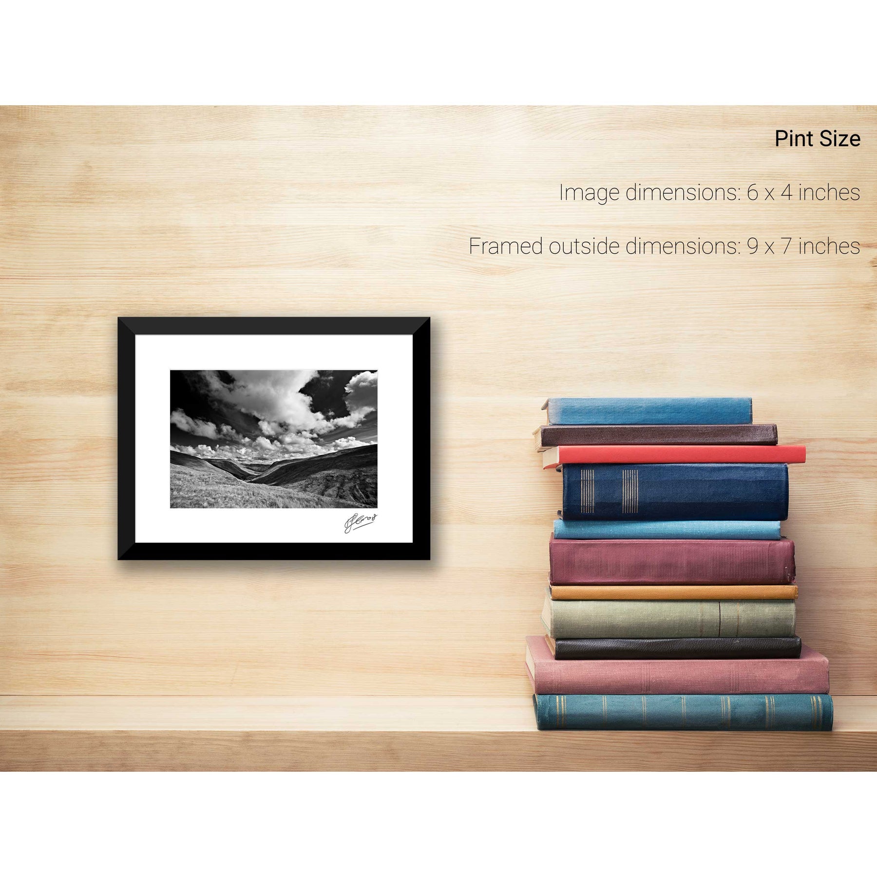
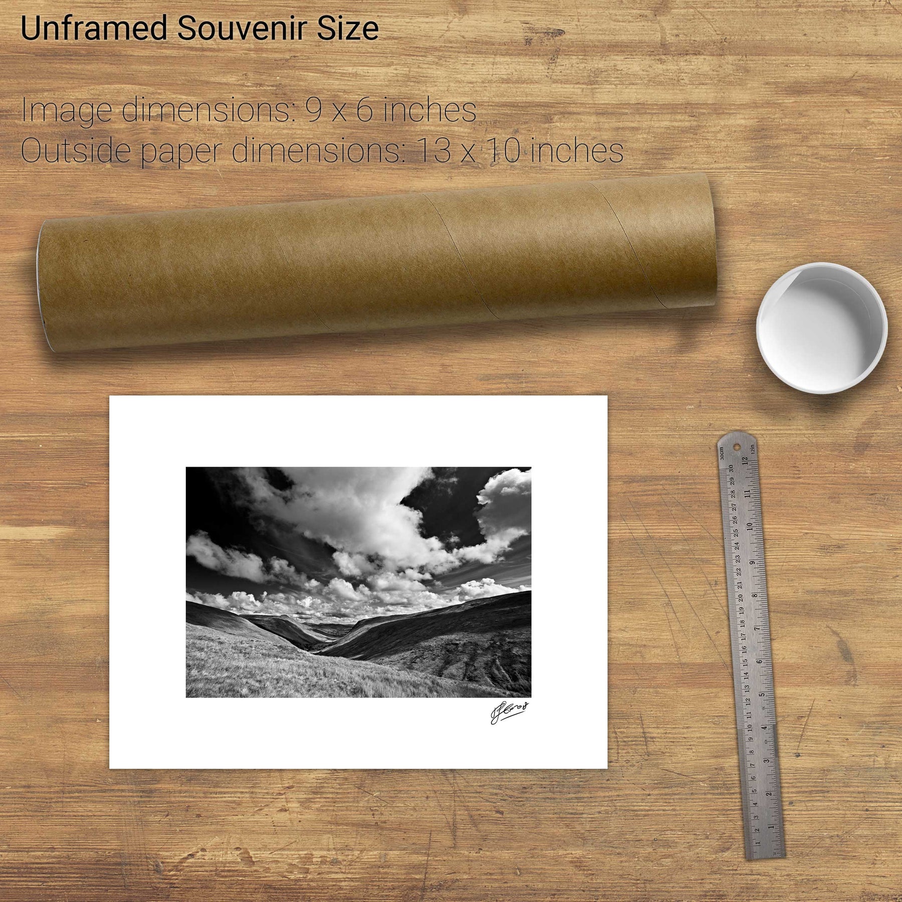
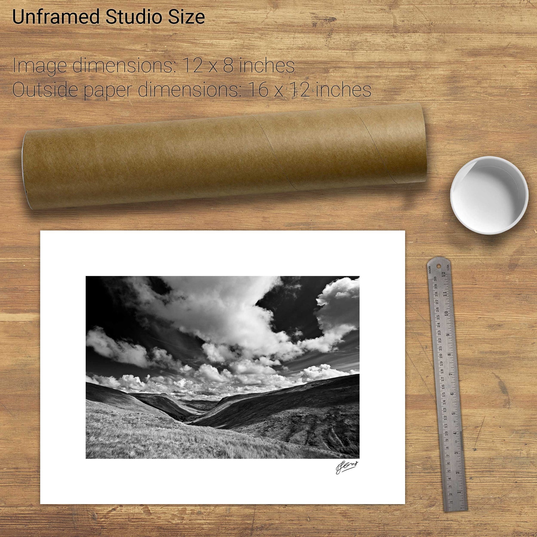
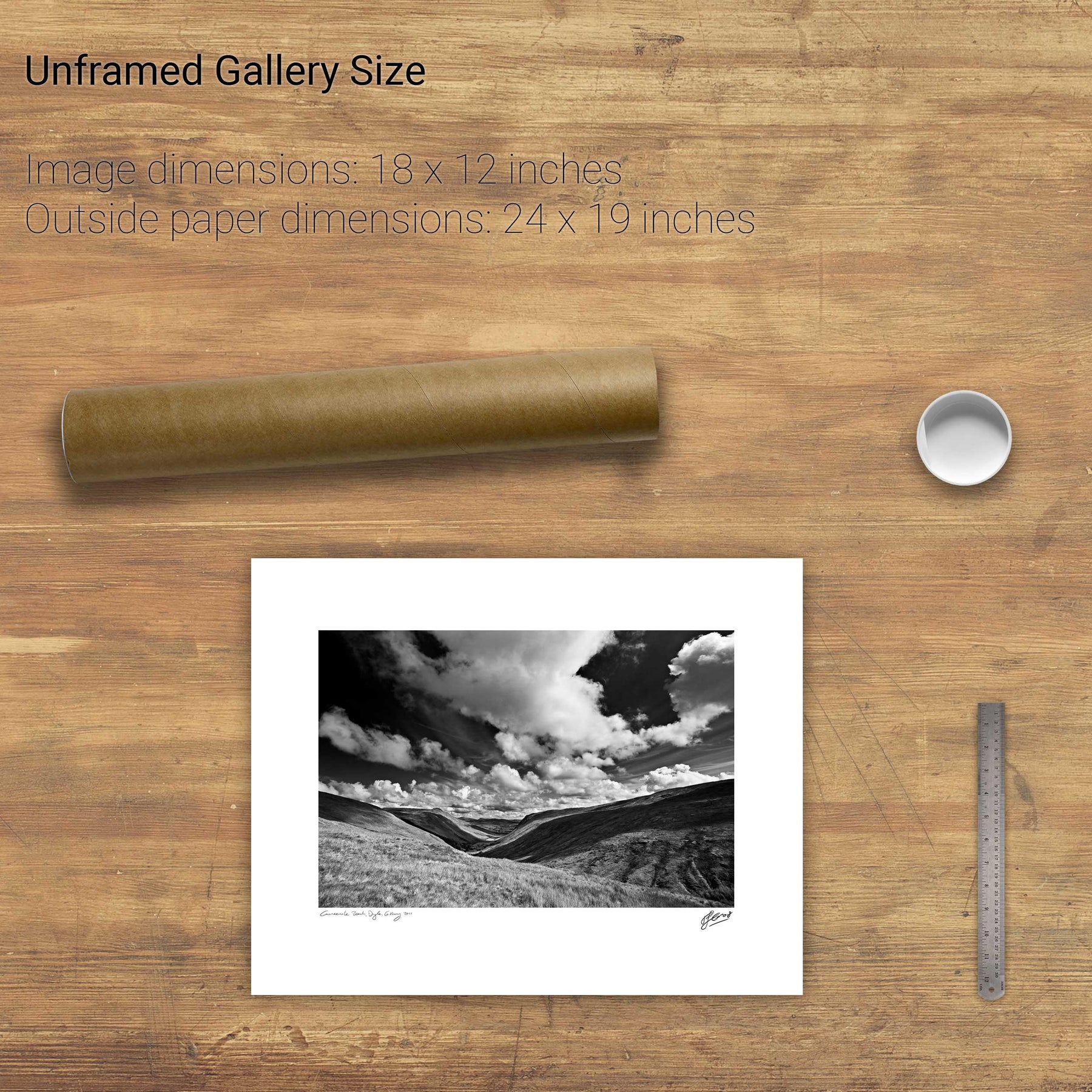
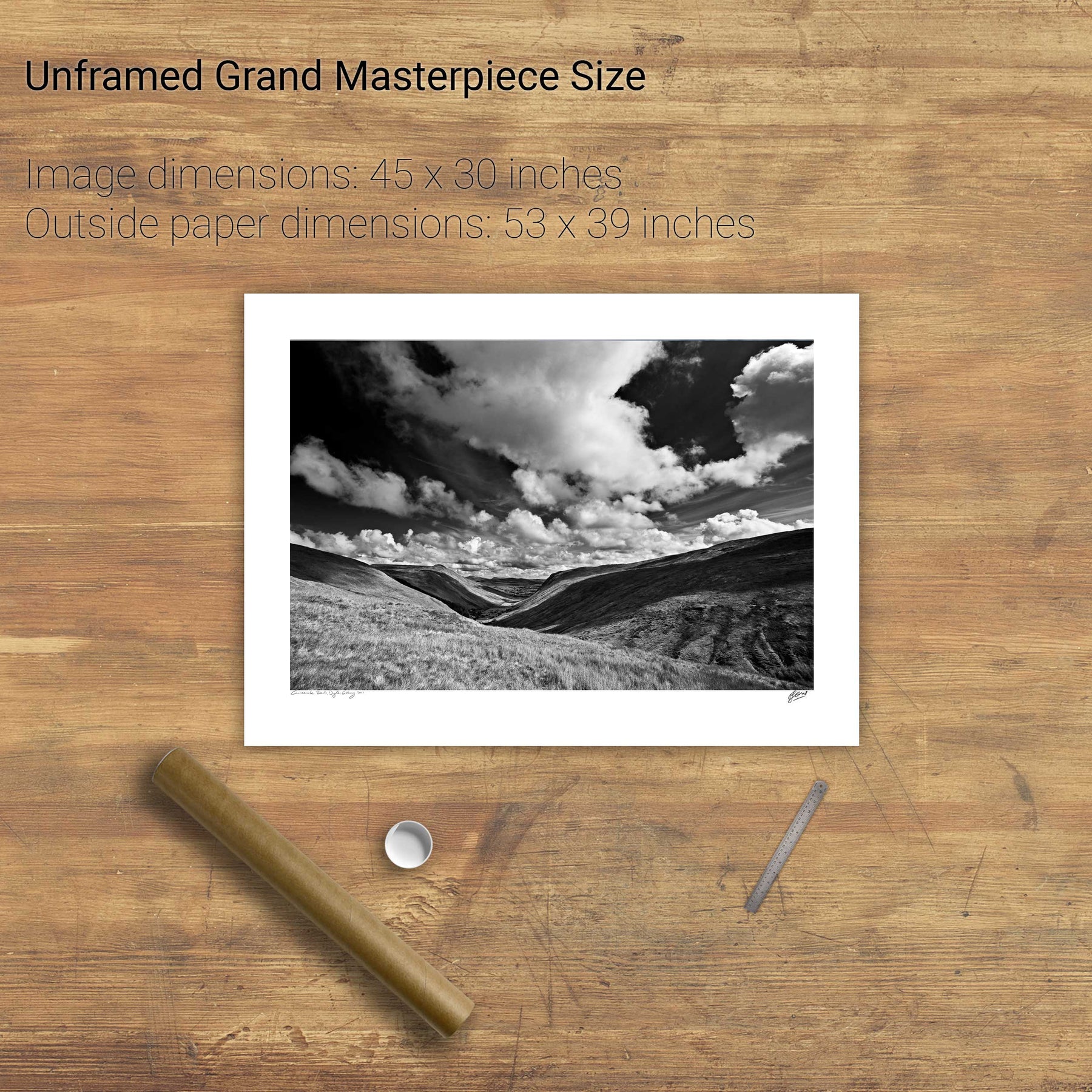
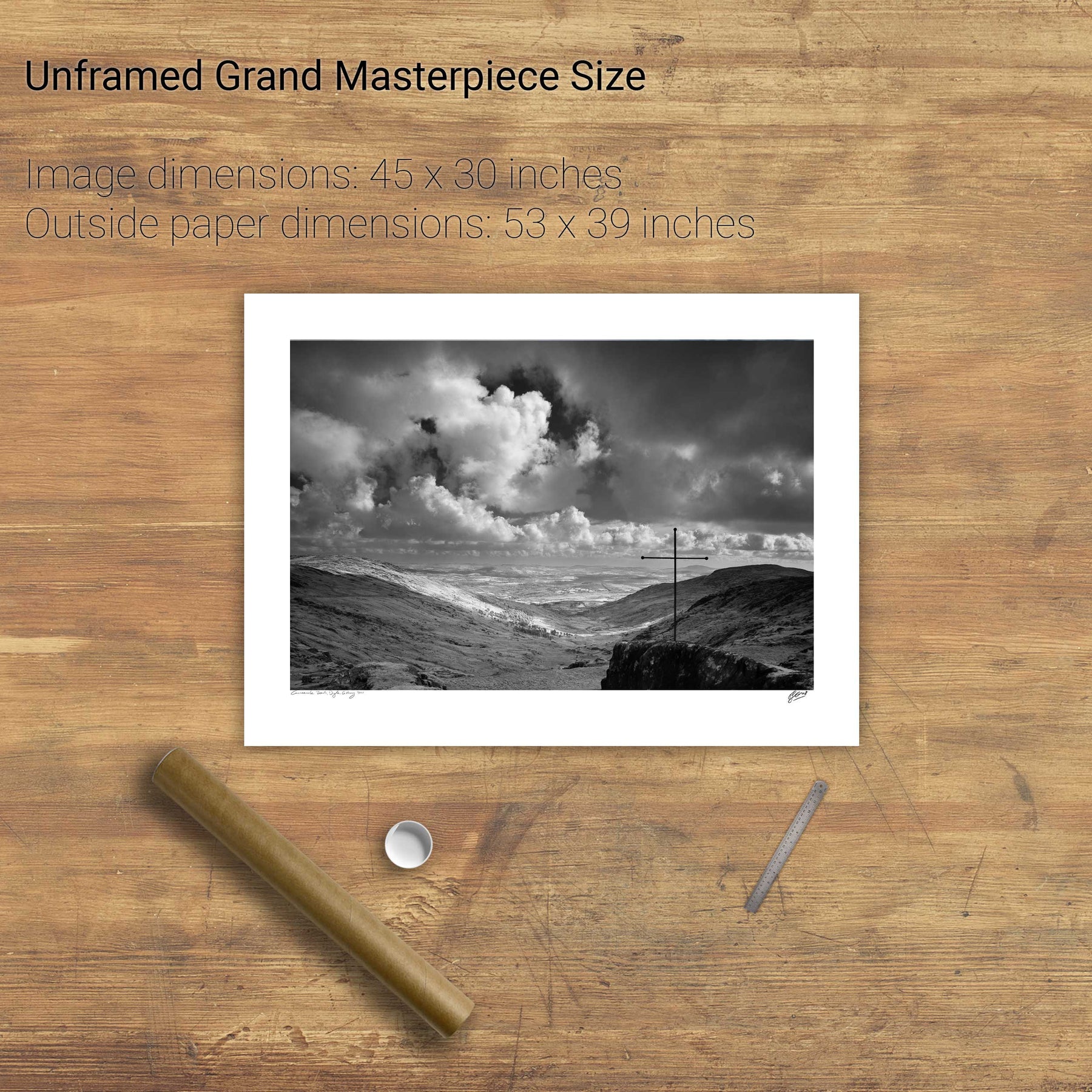
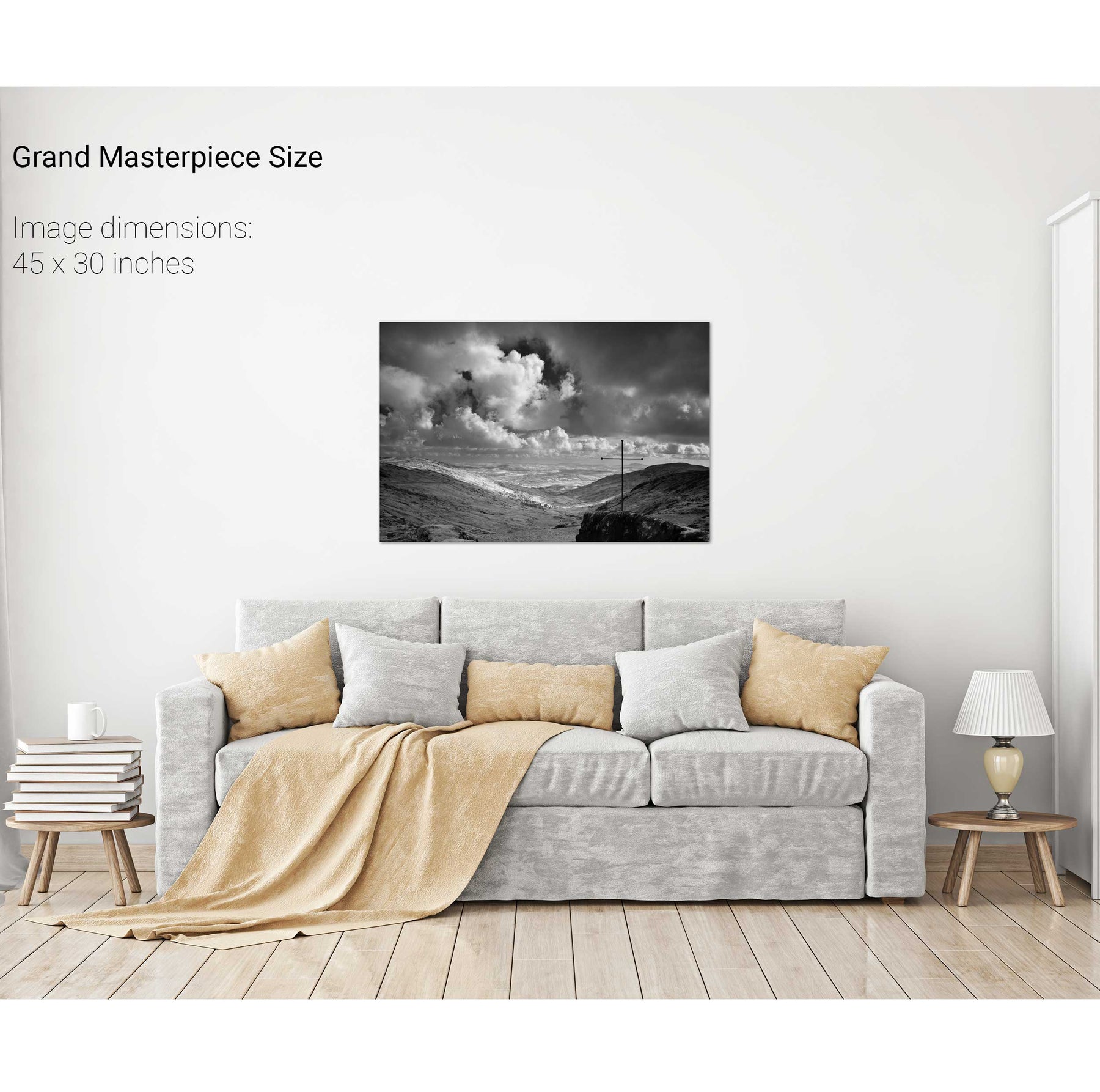
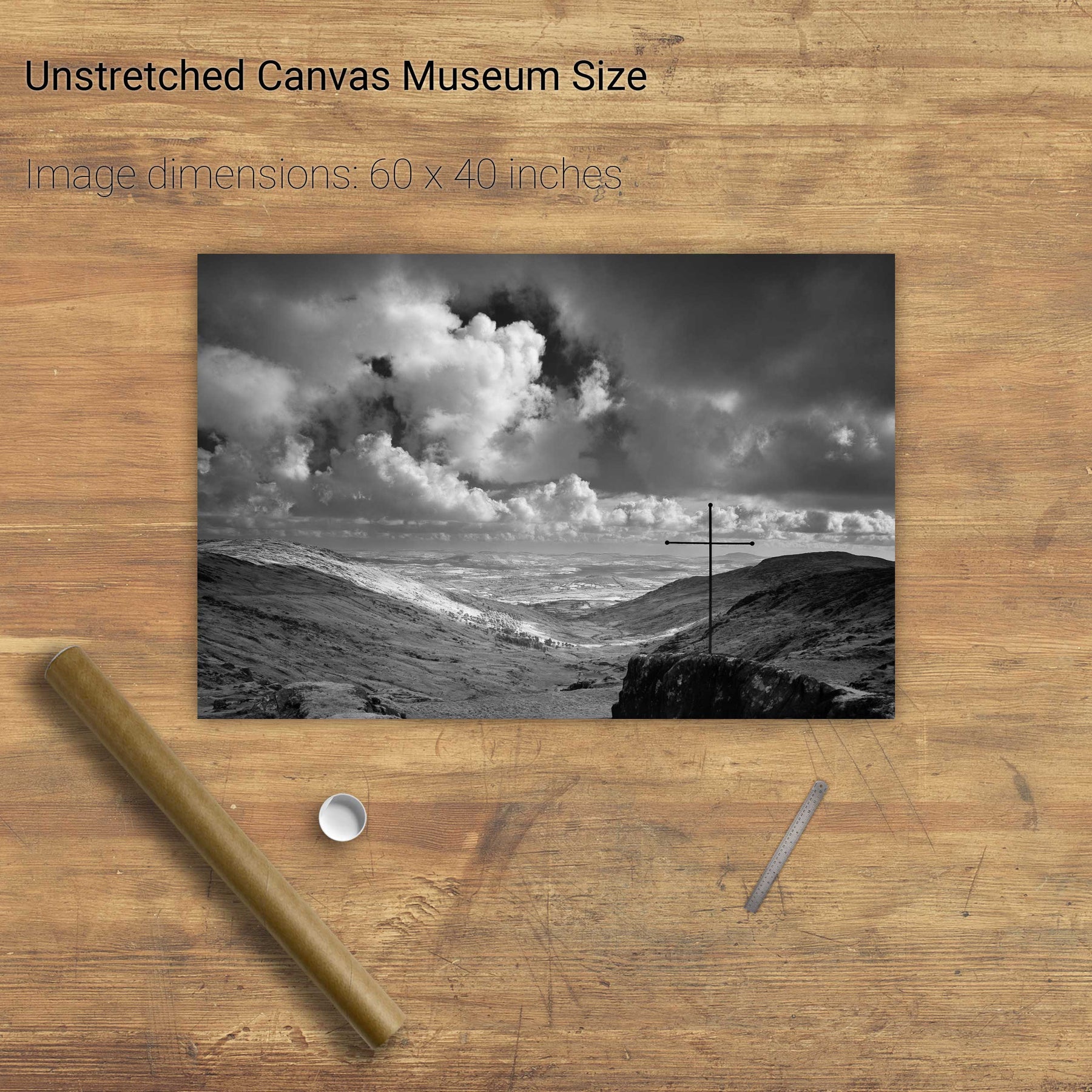
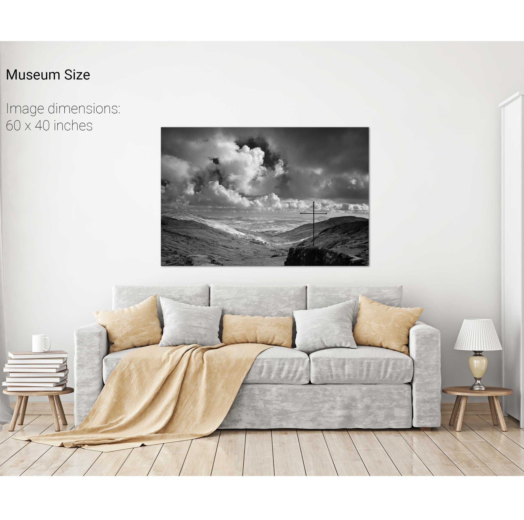
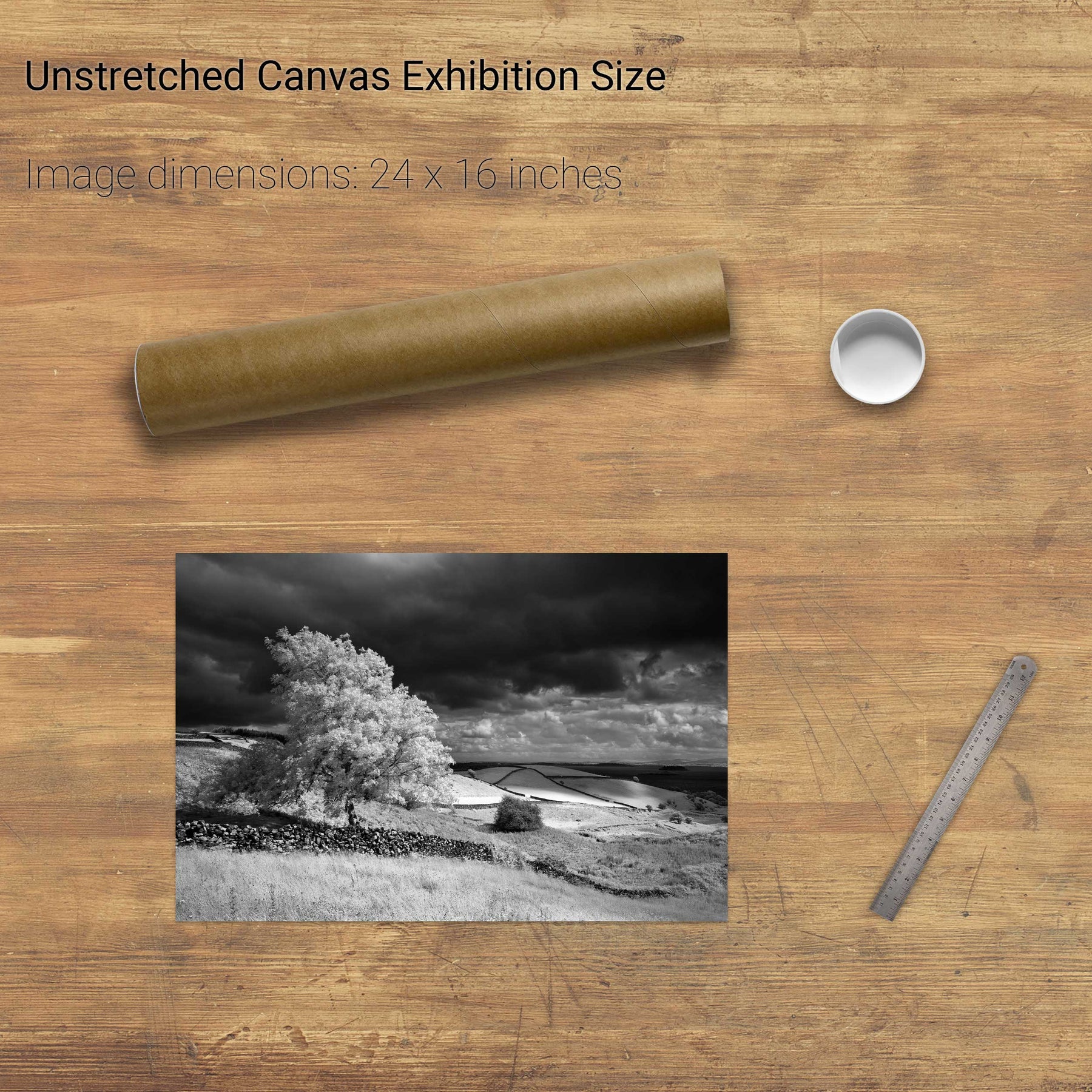
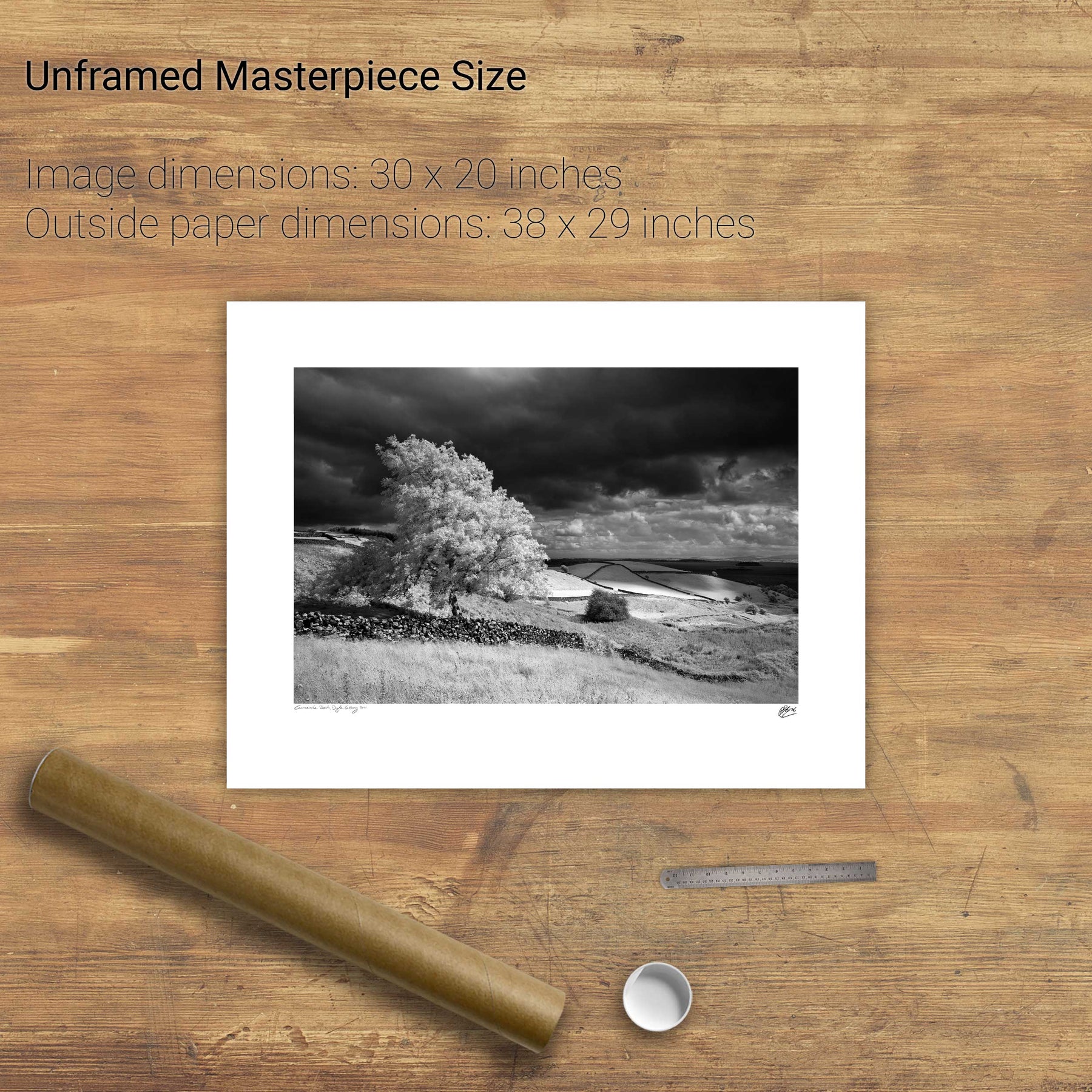
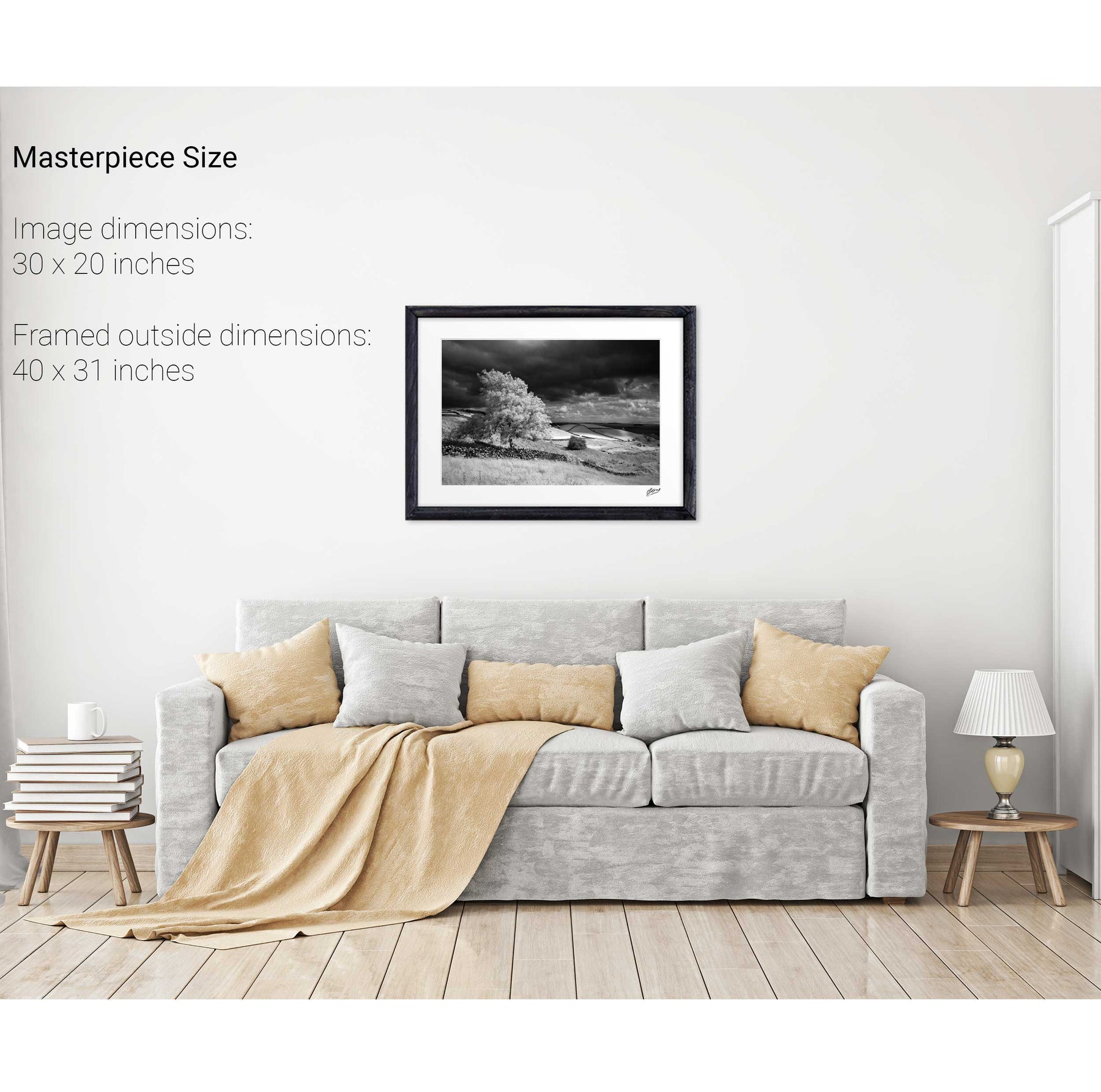
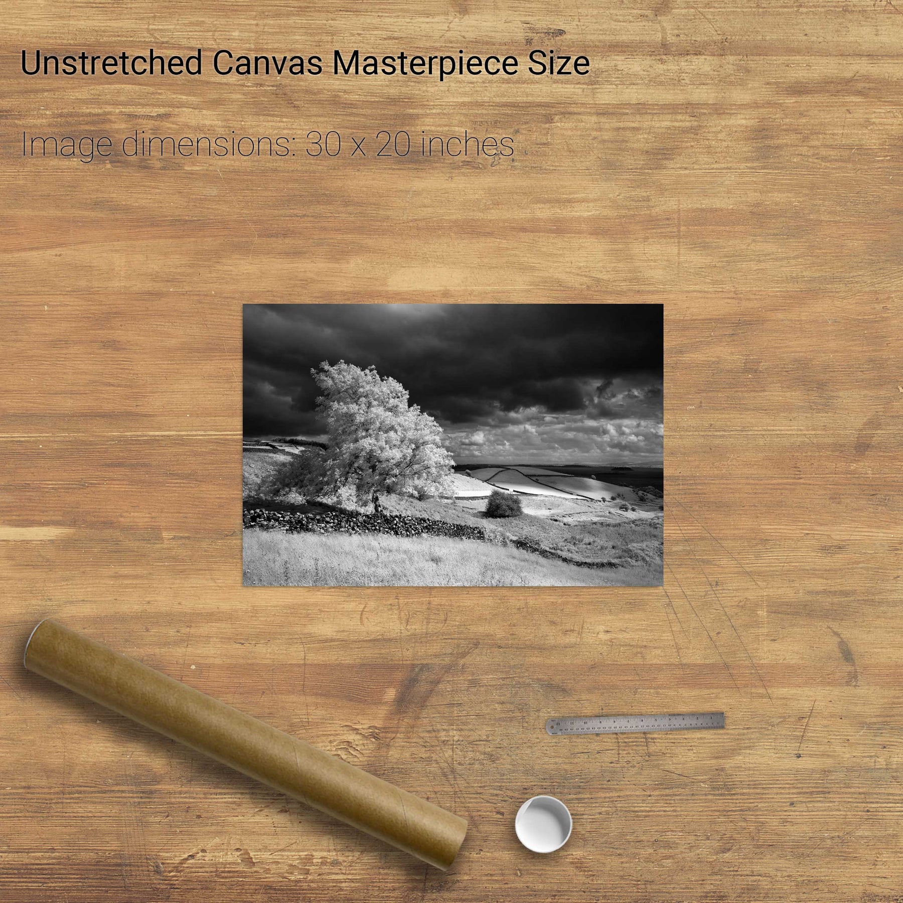
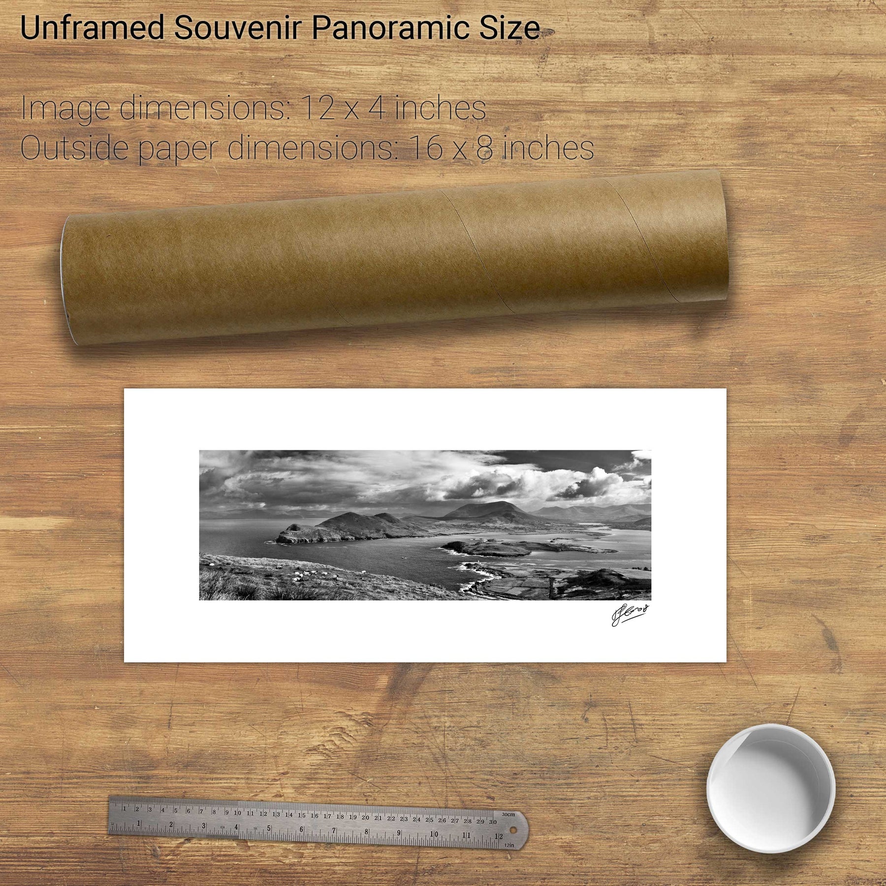
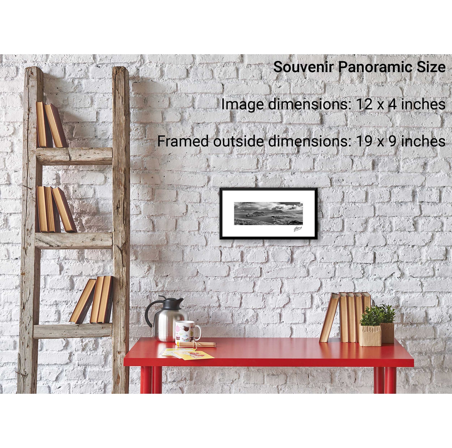
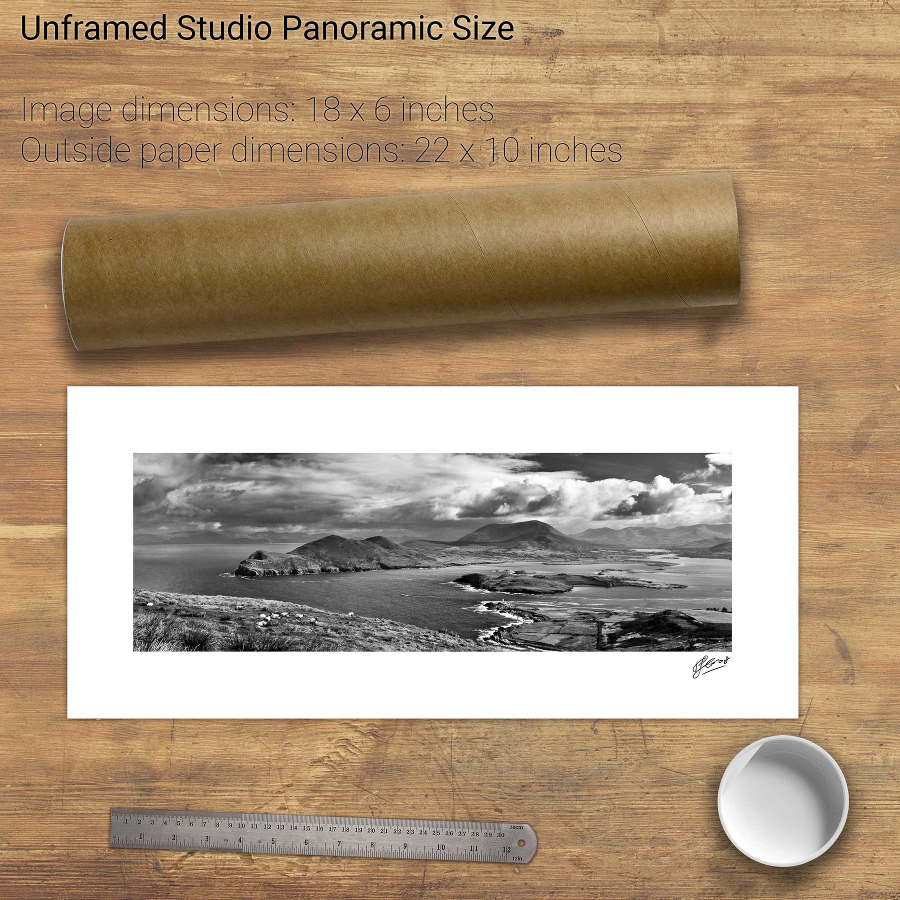
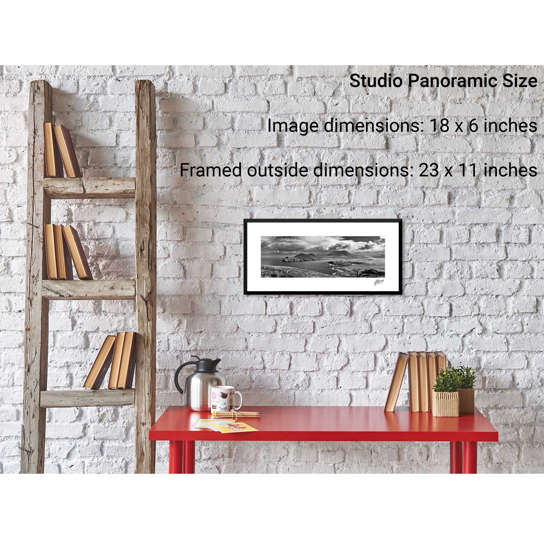
25 products
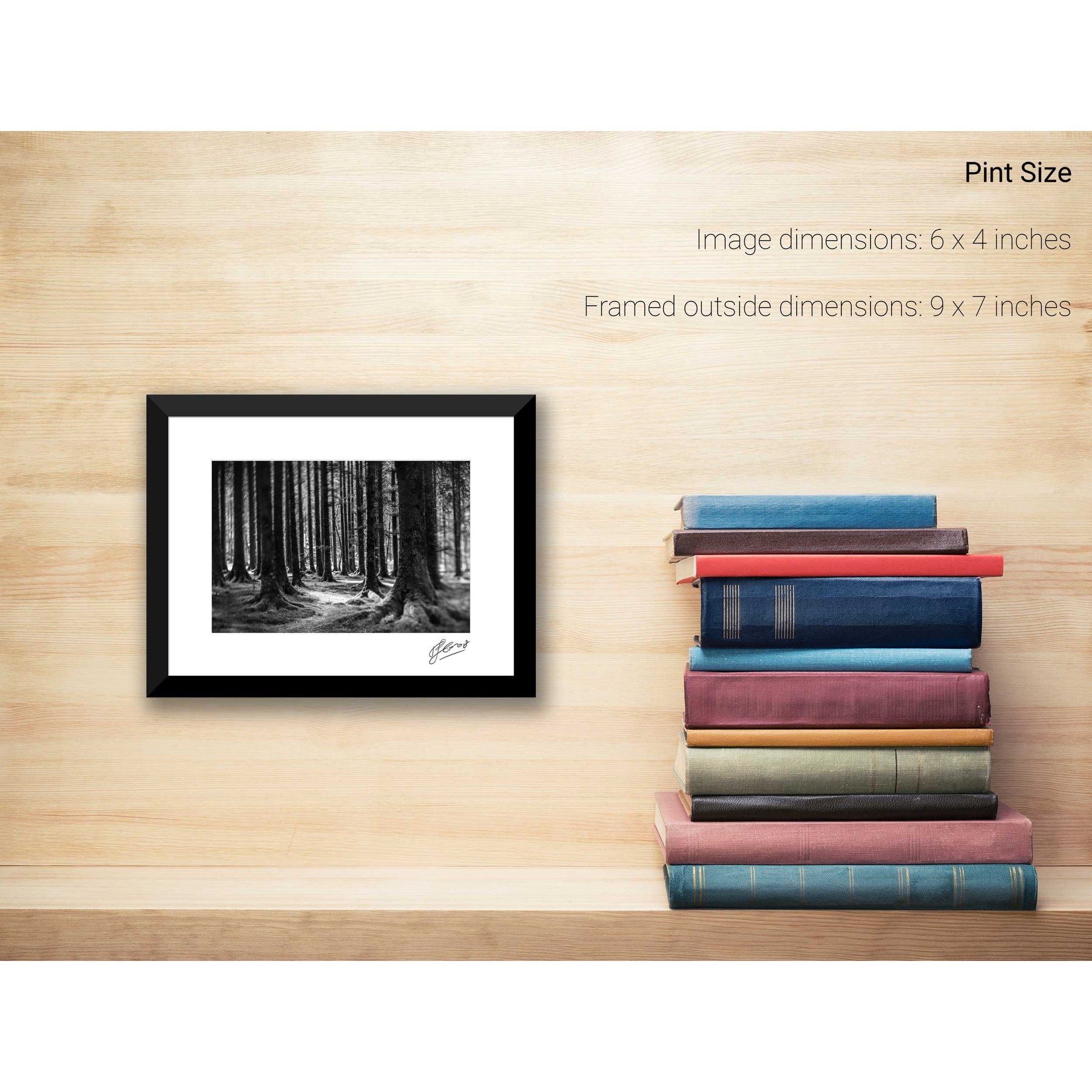
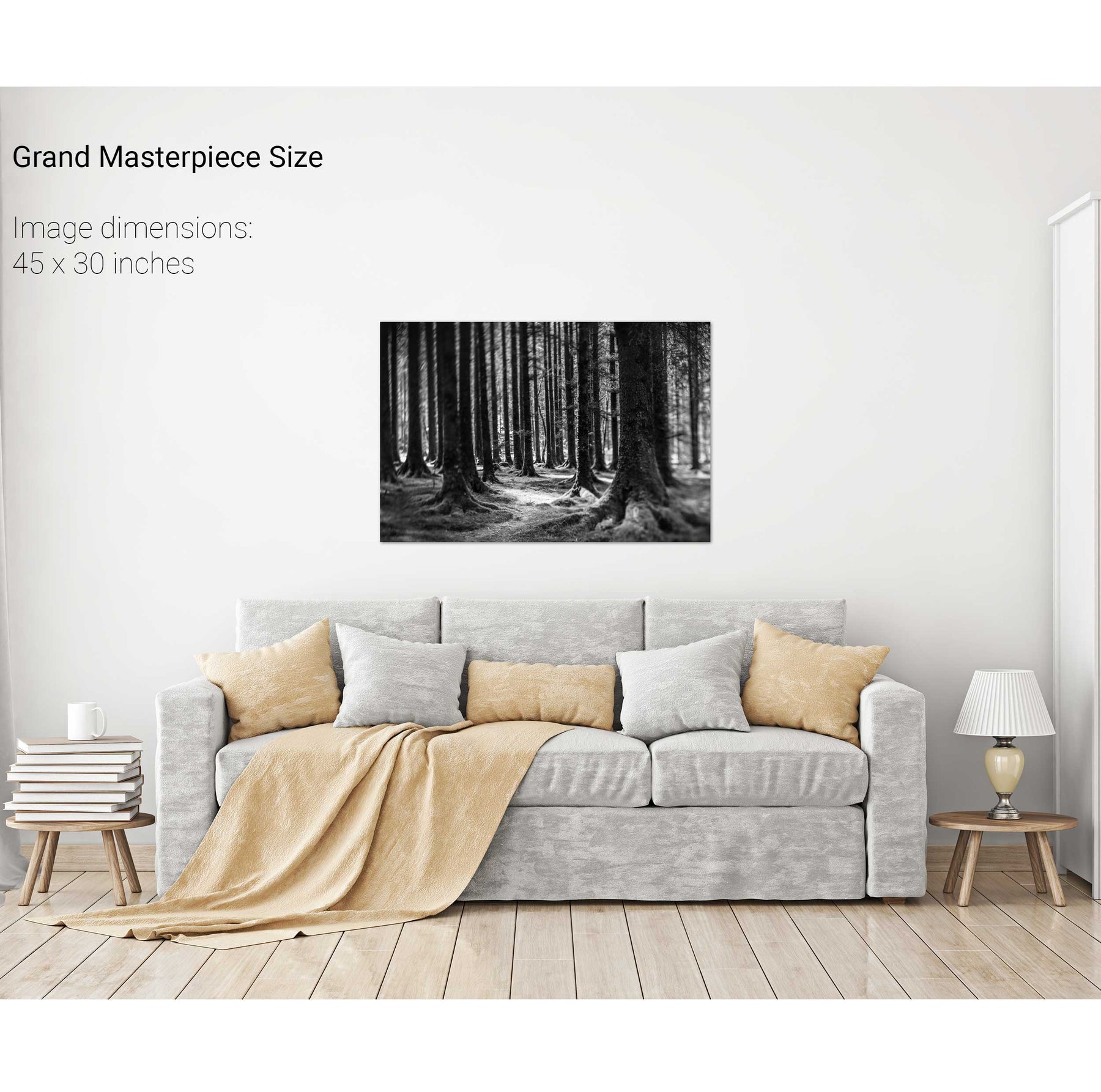
The Twisting Path, Gougane Barra, Cork
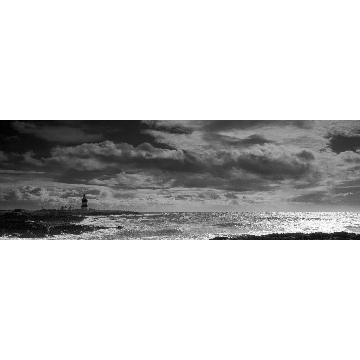
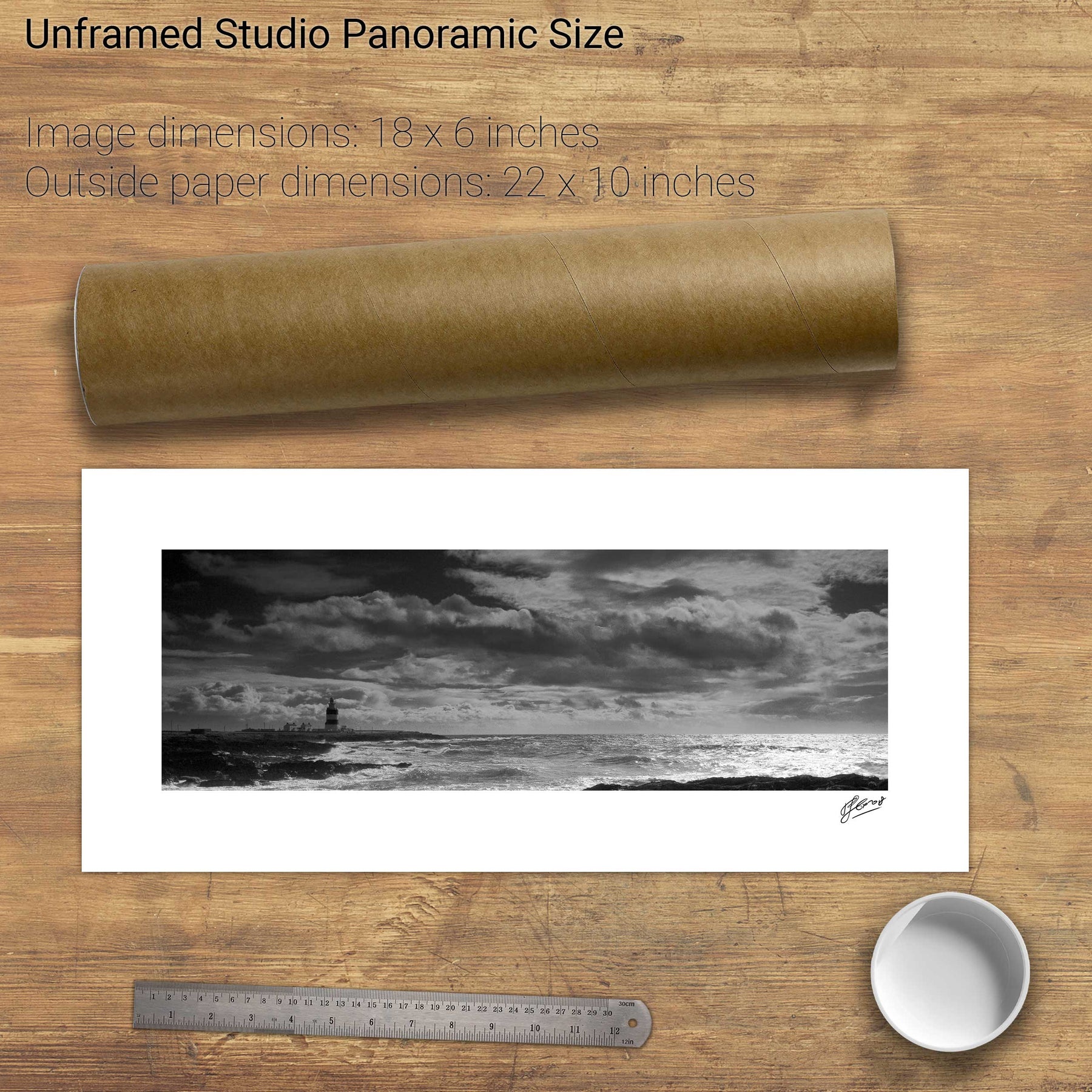
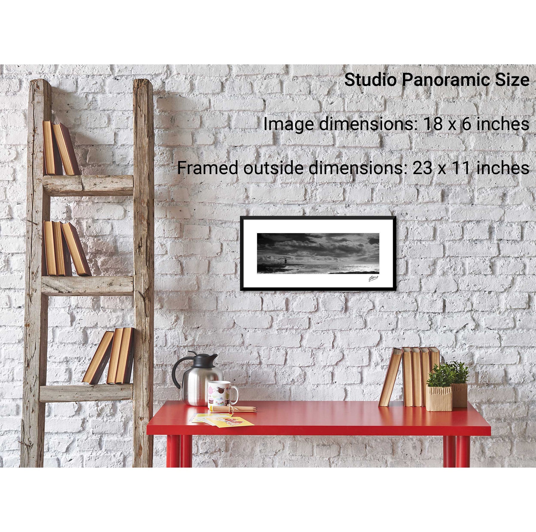
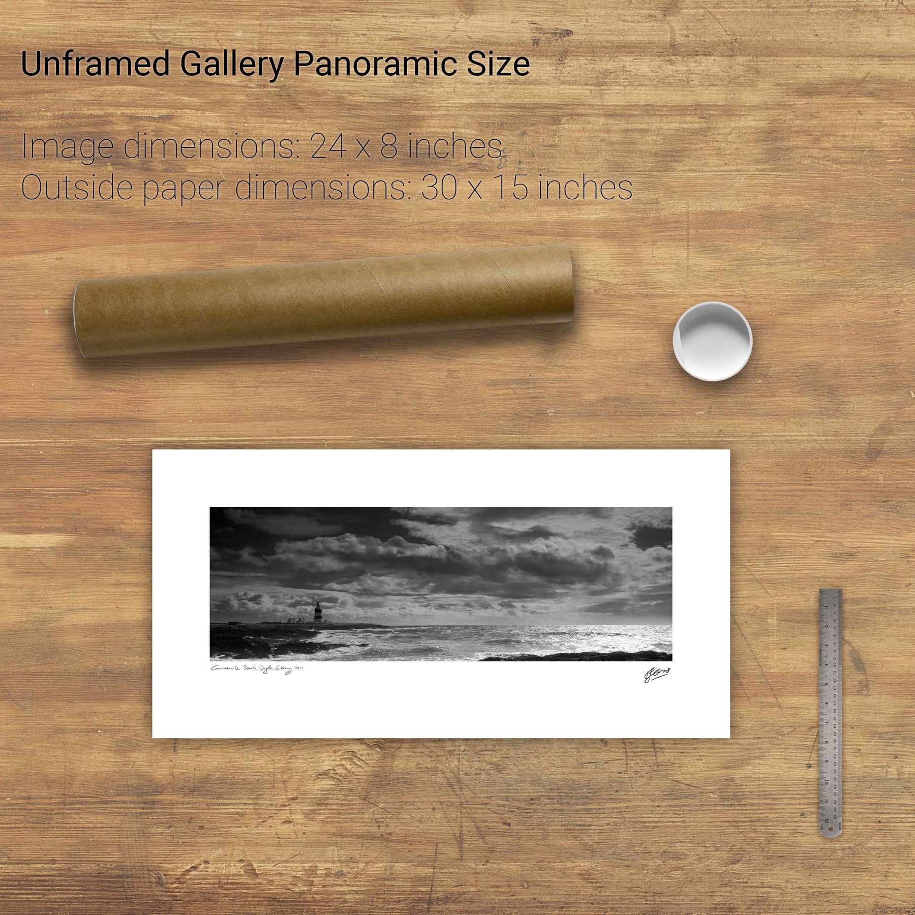
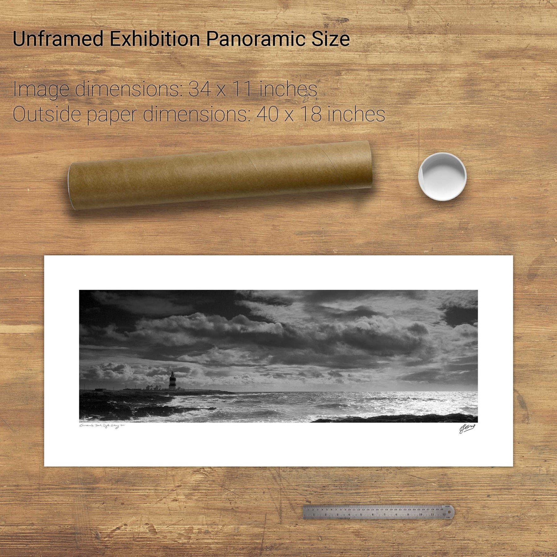
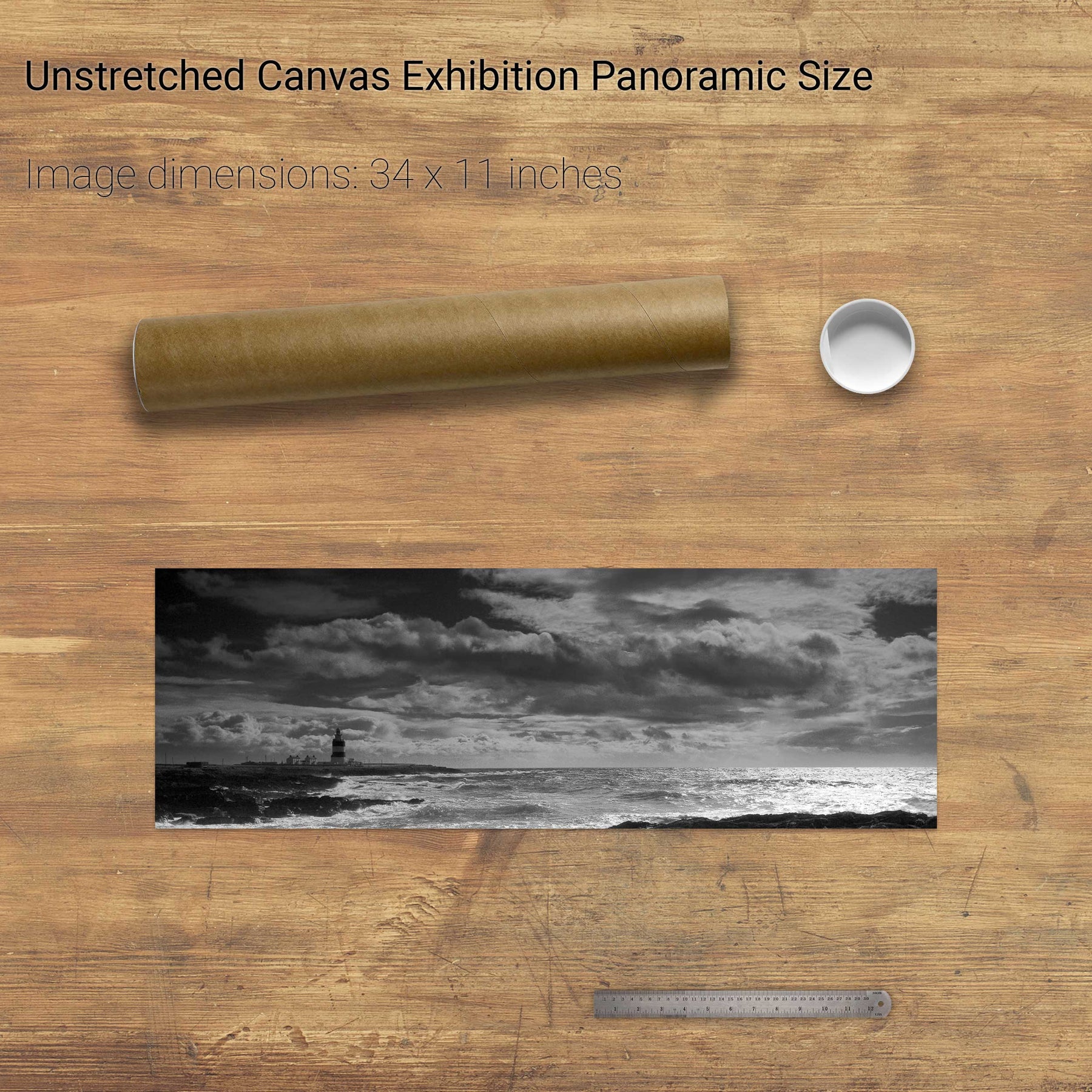
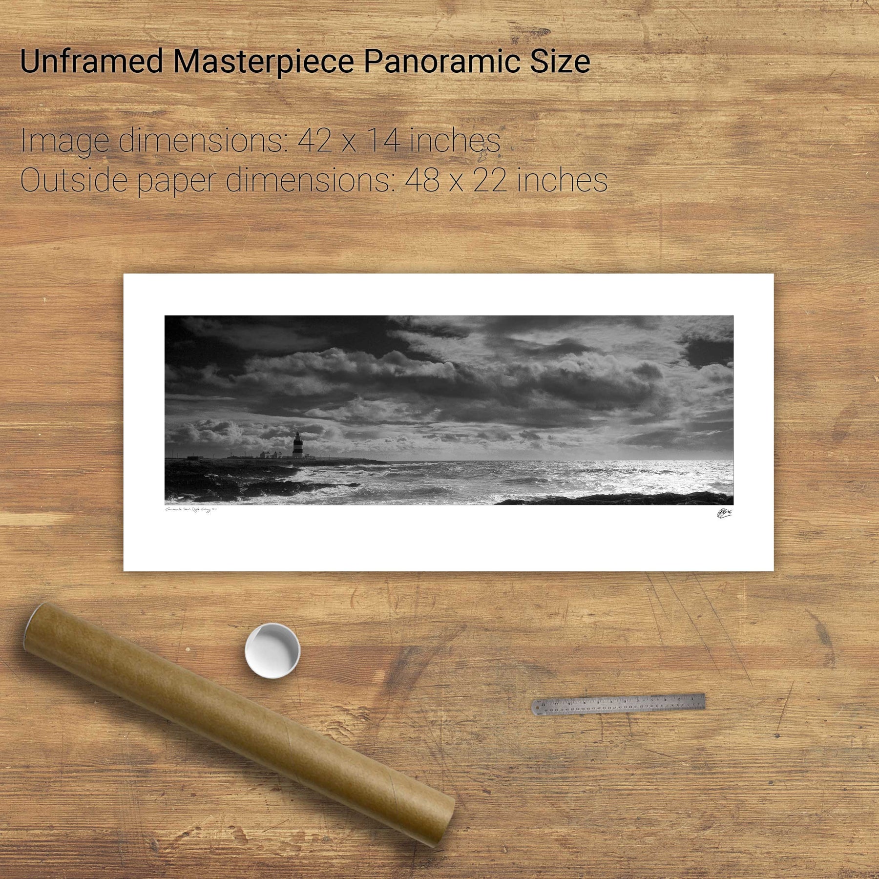
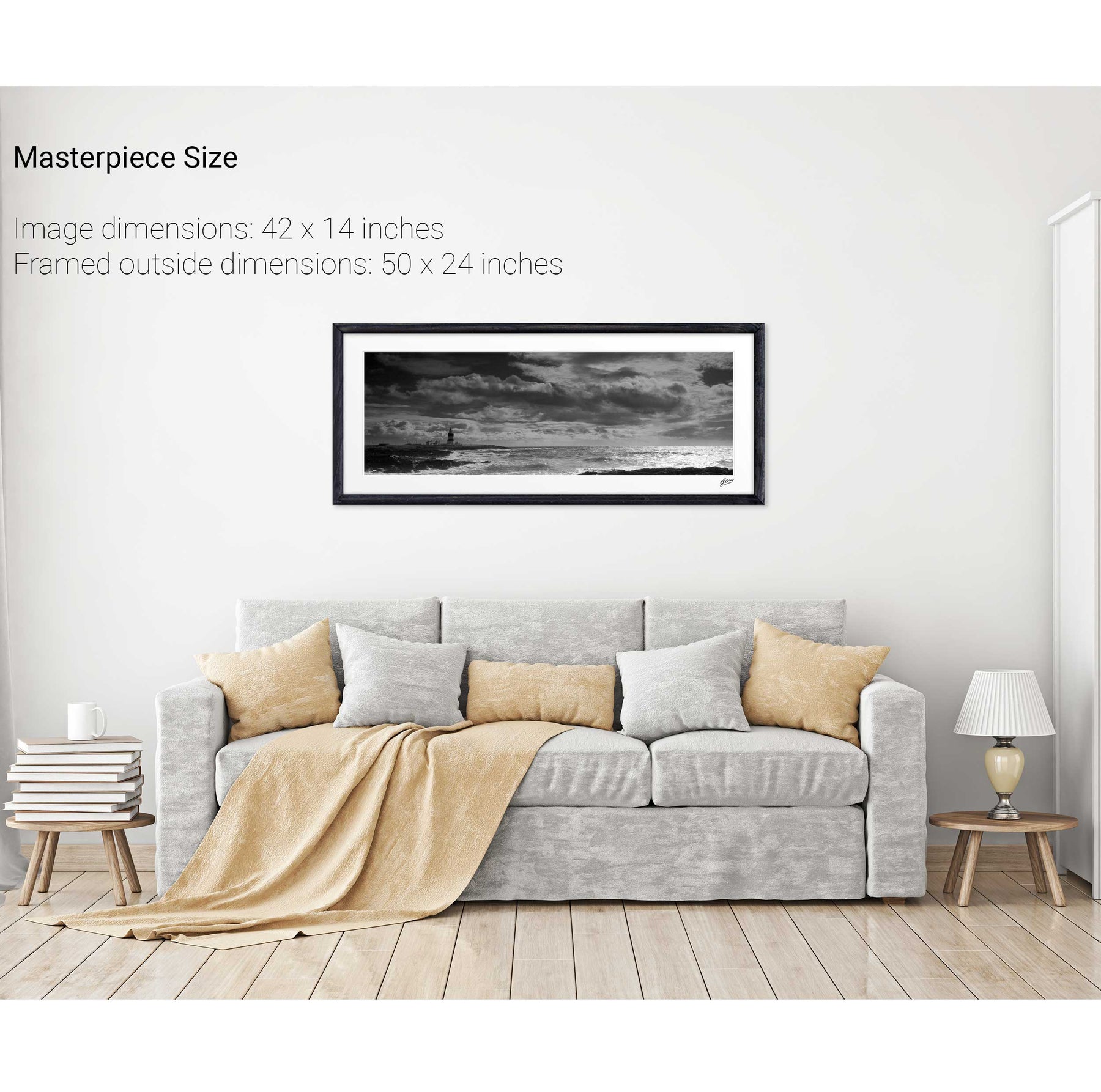
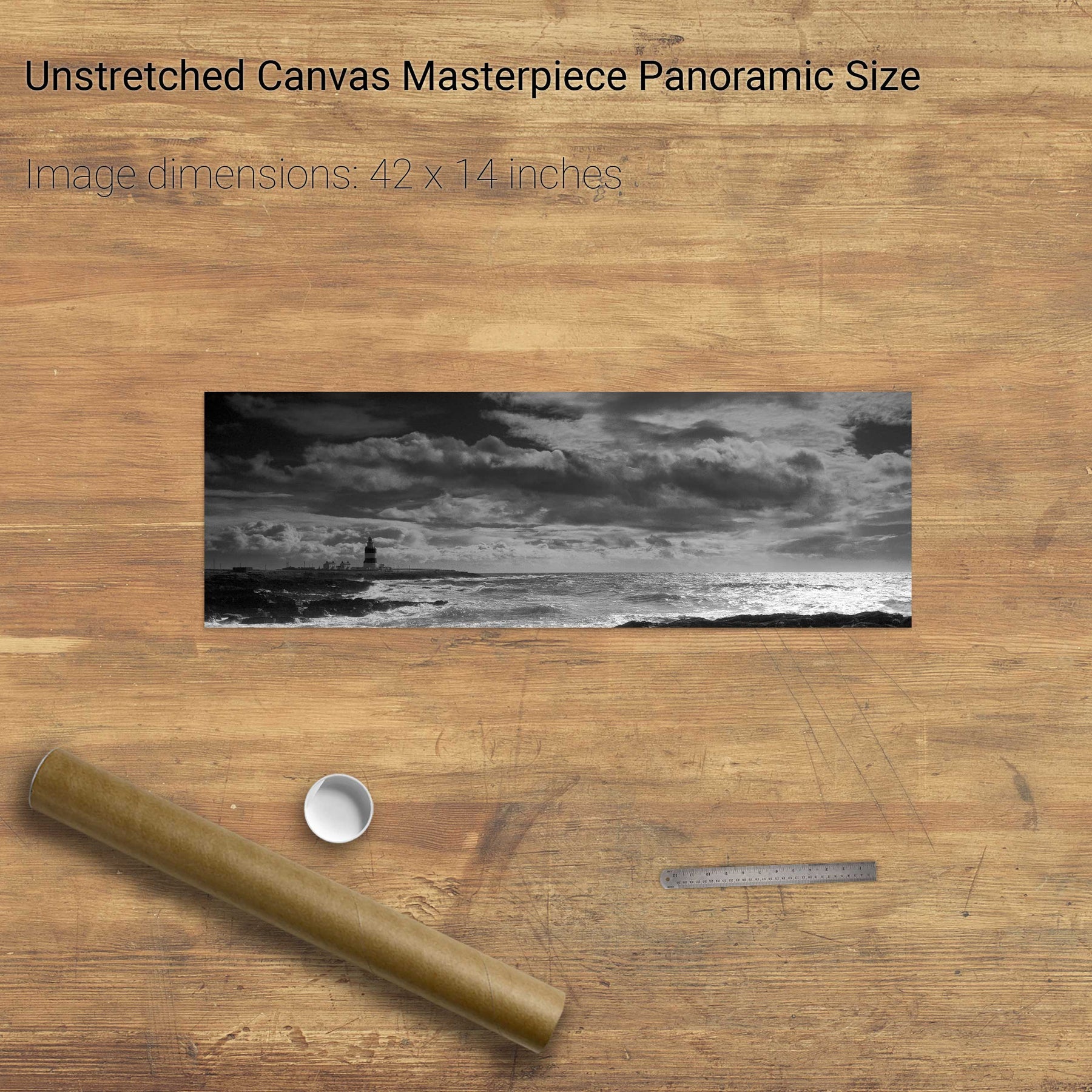
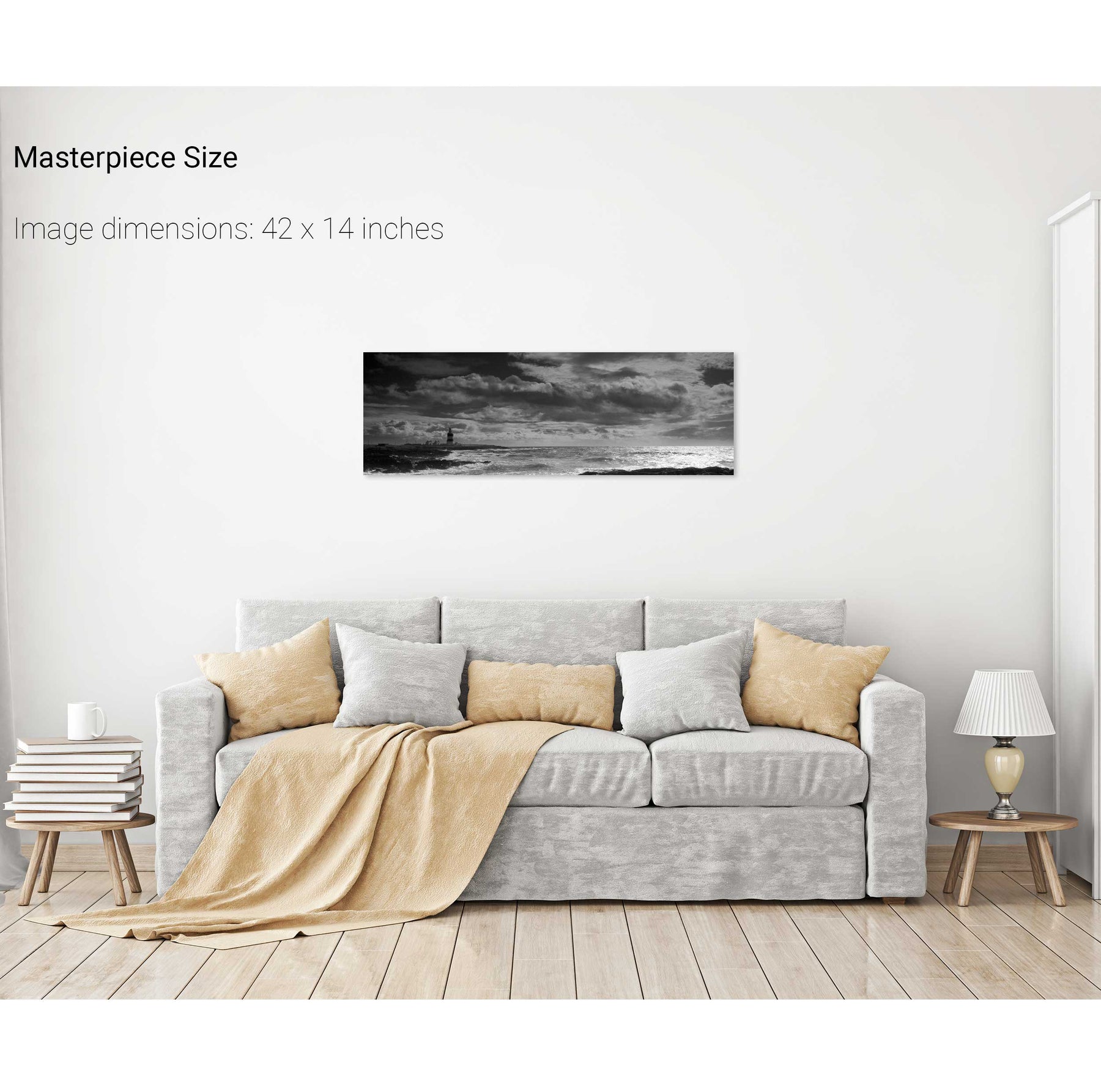
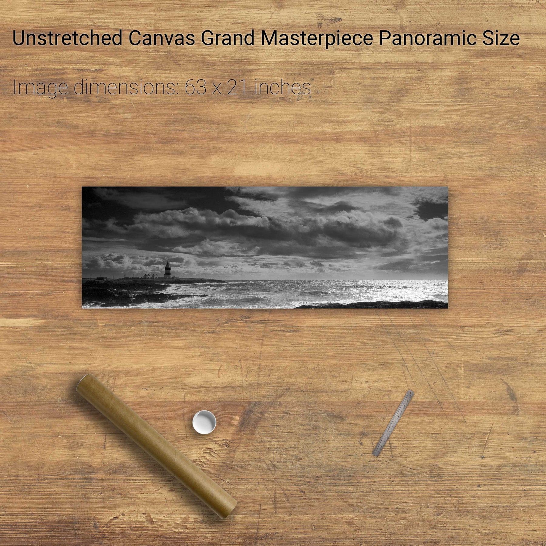
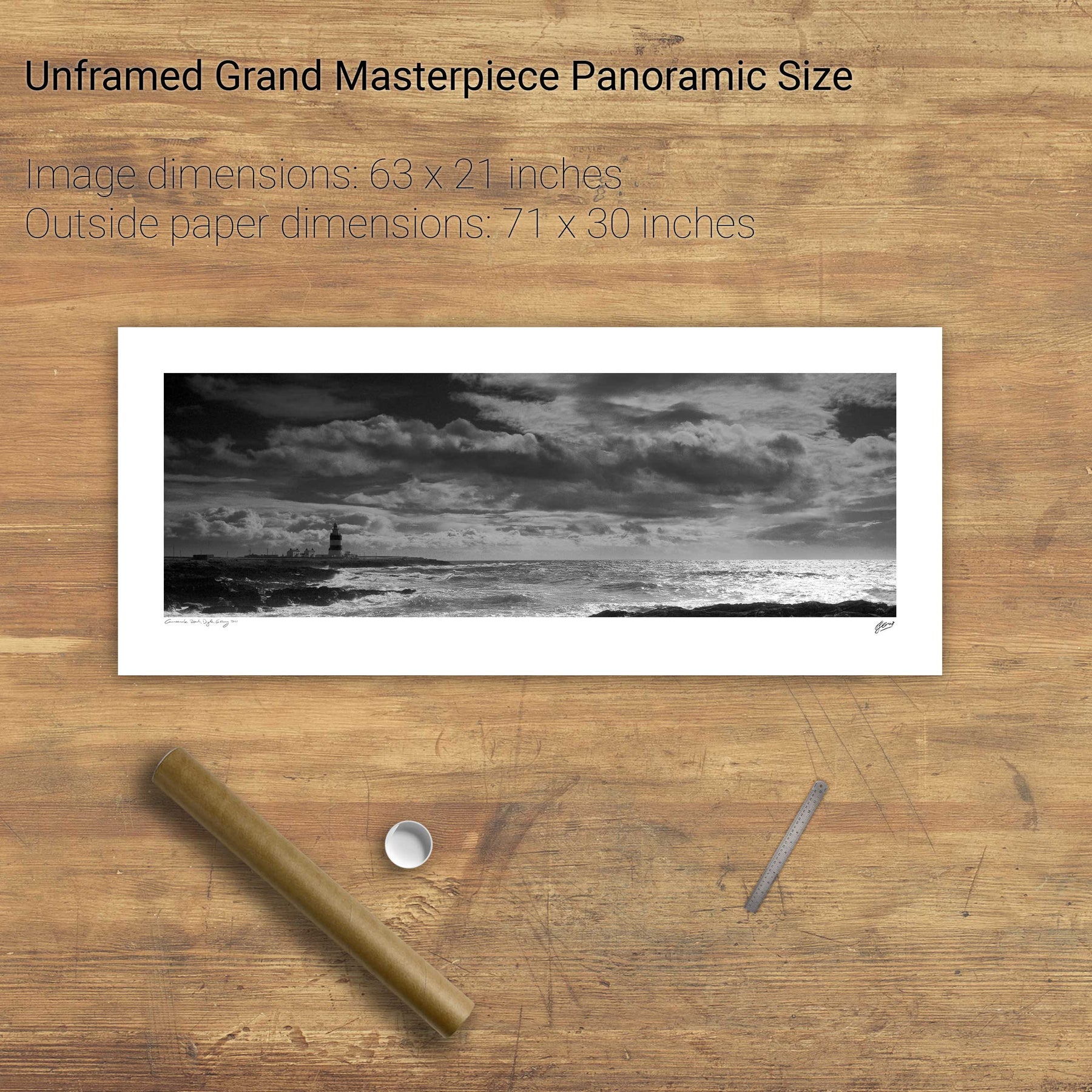
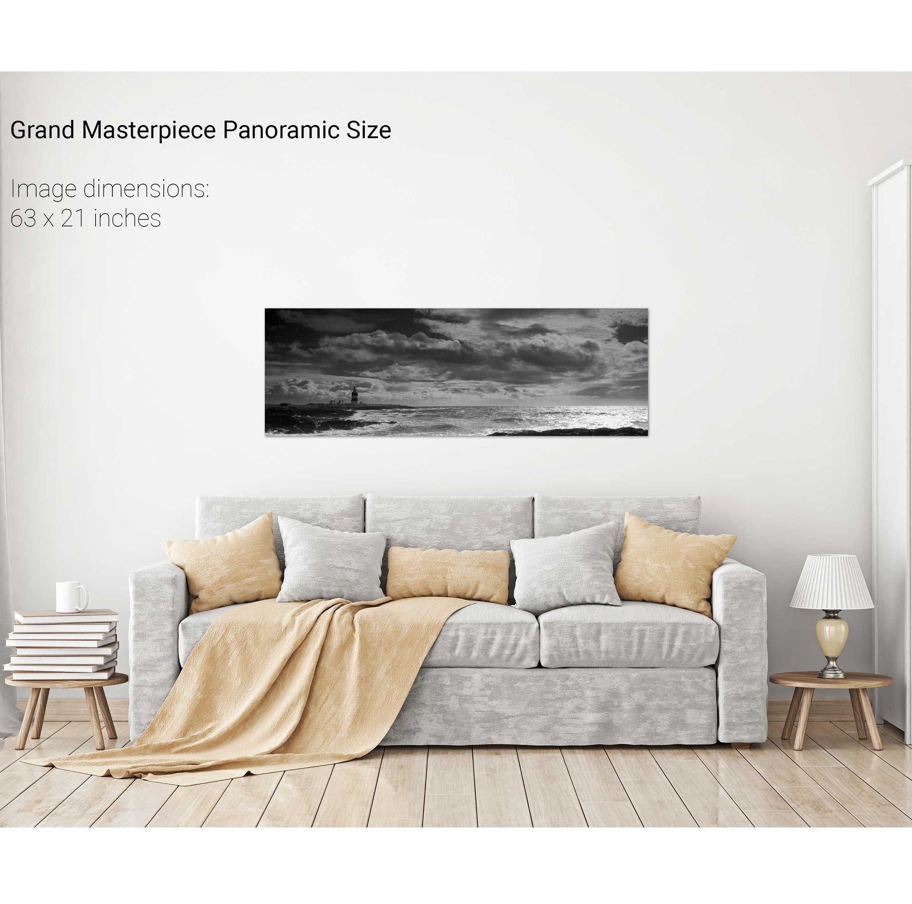
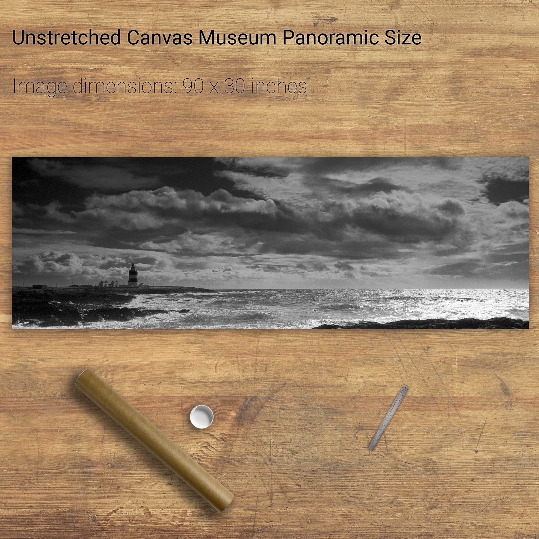
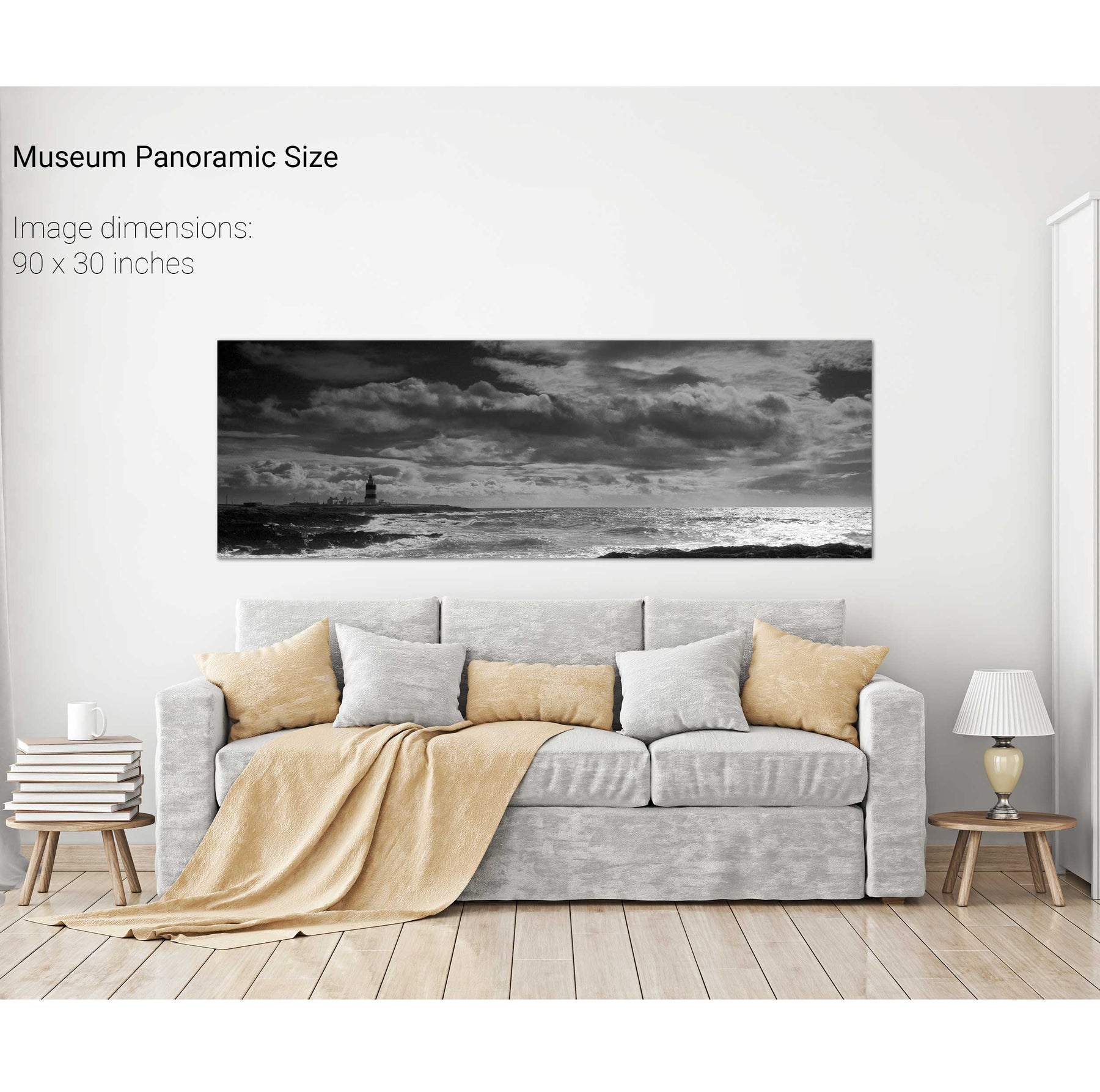
Hook Head, Co. Wexford
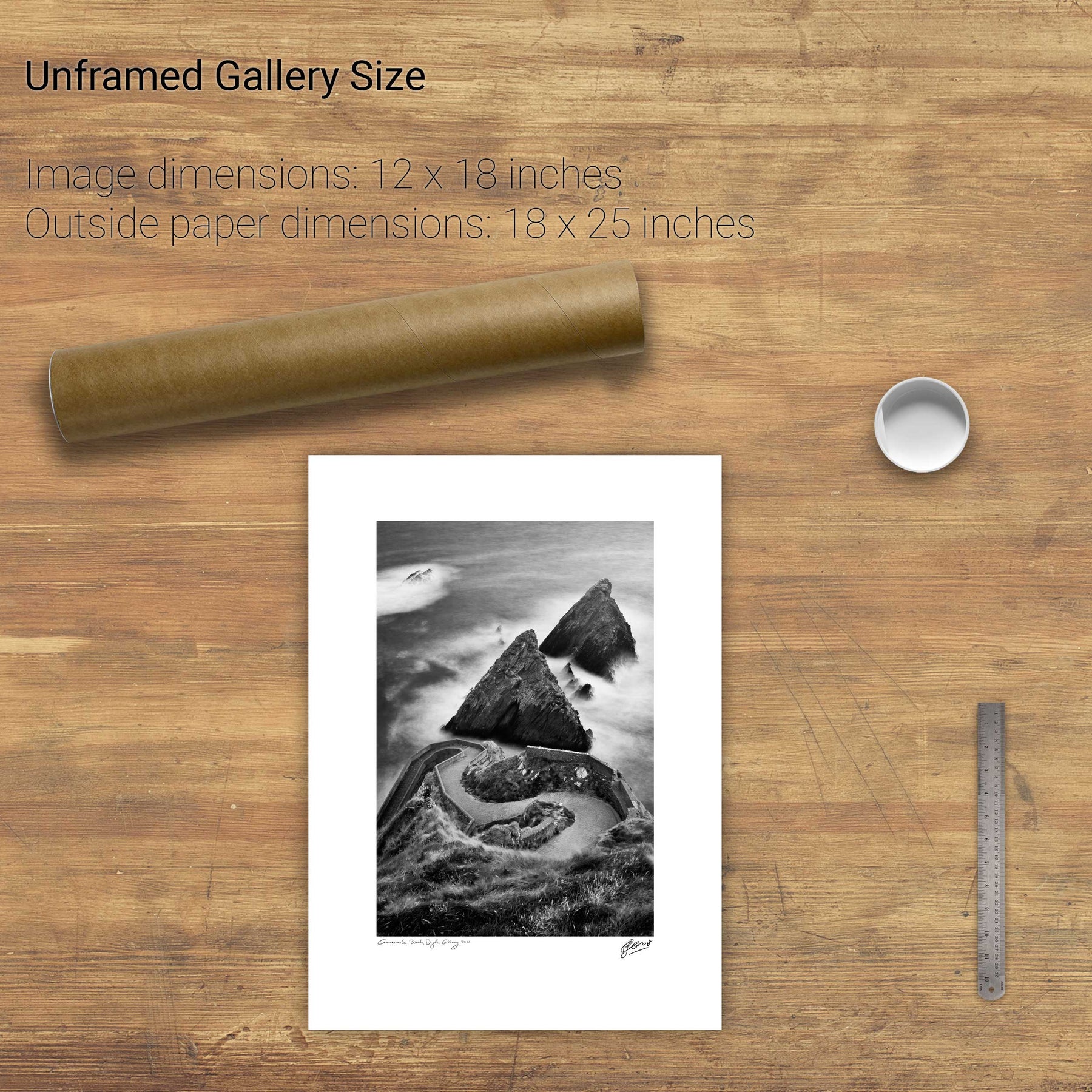
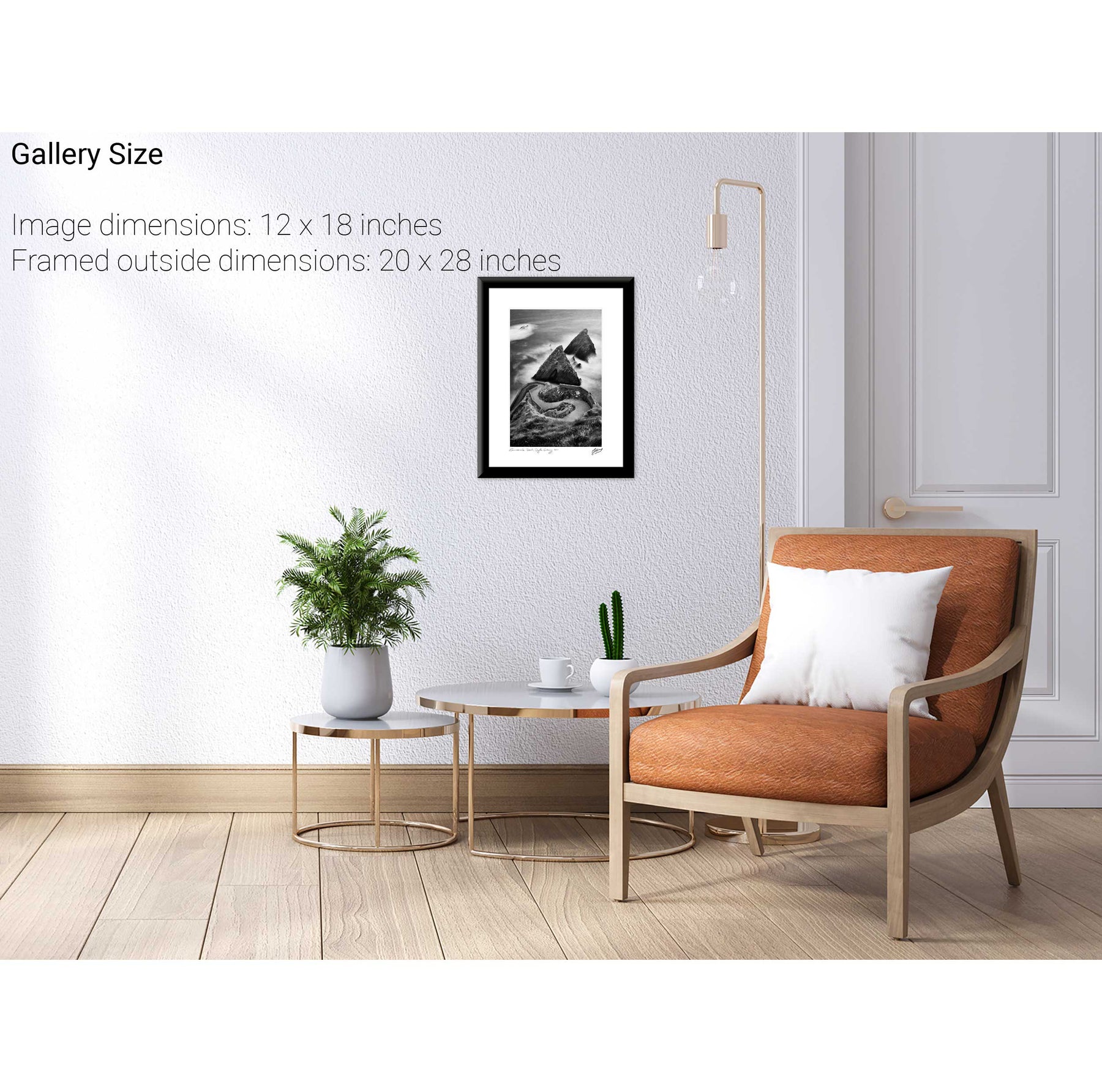
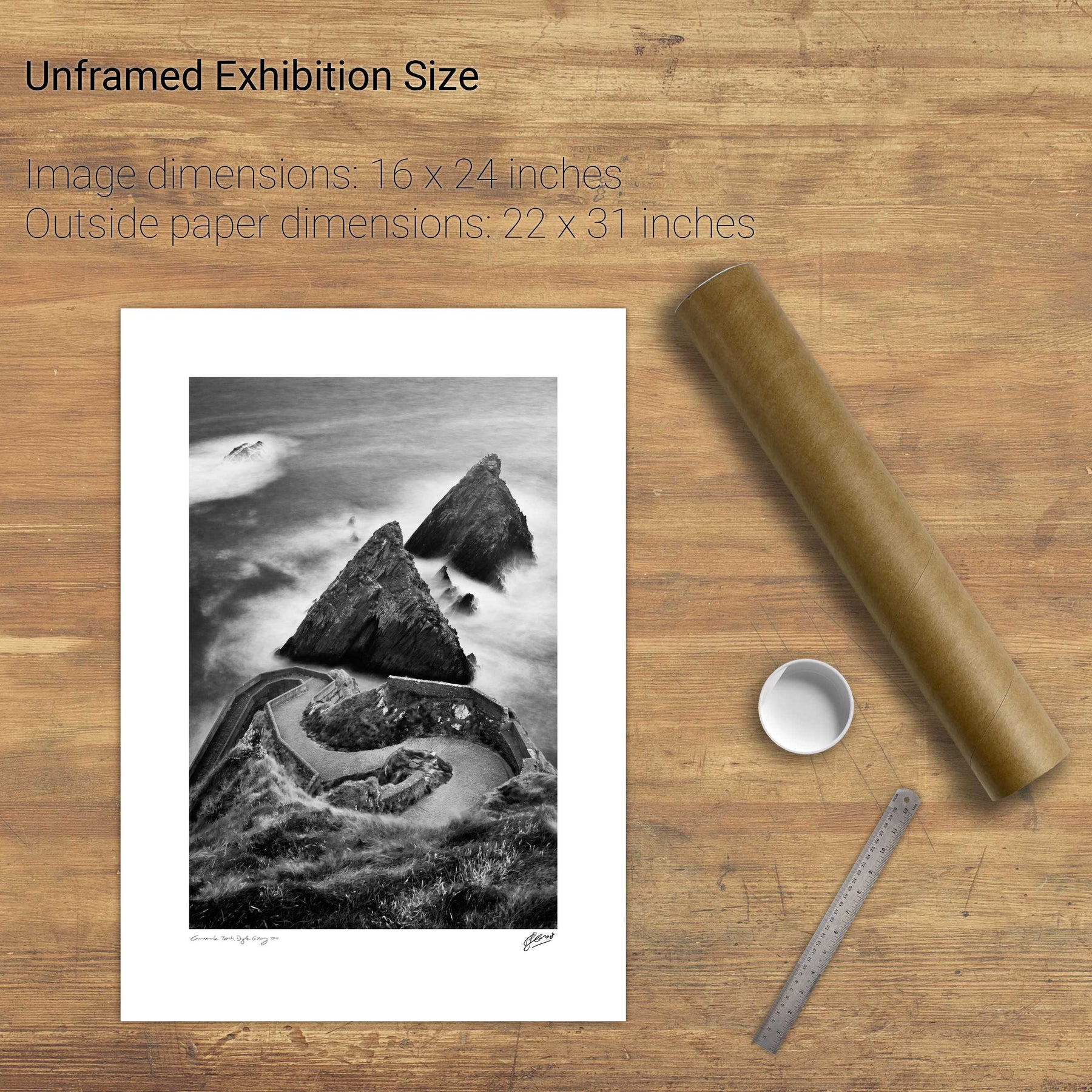
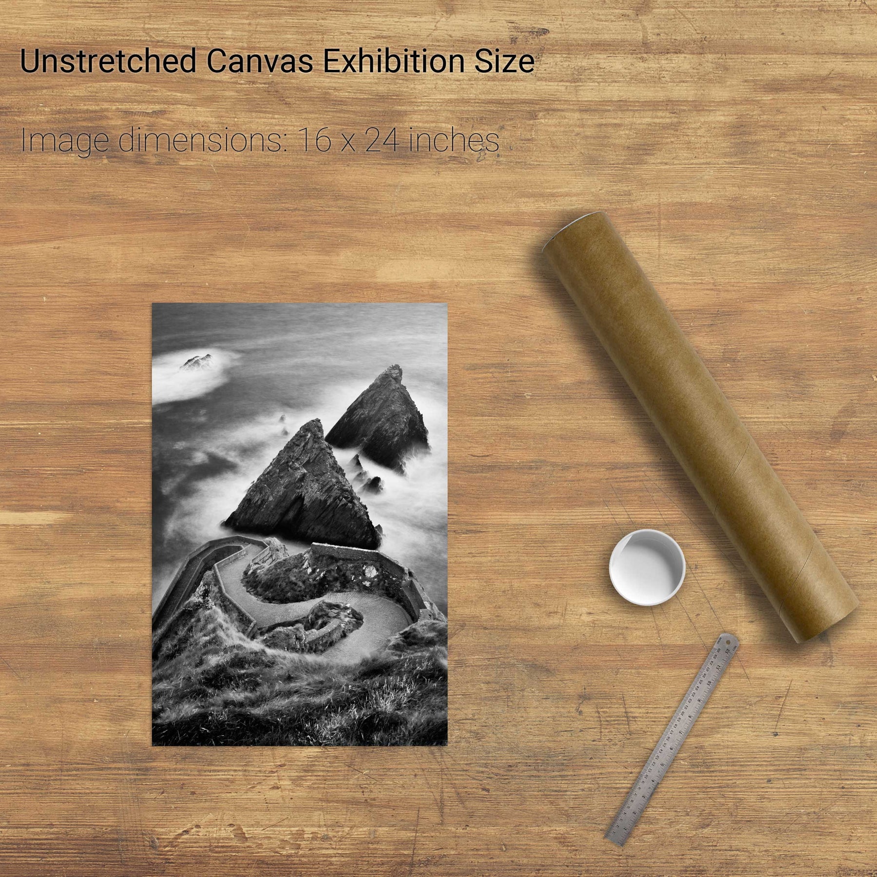
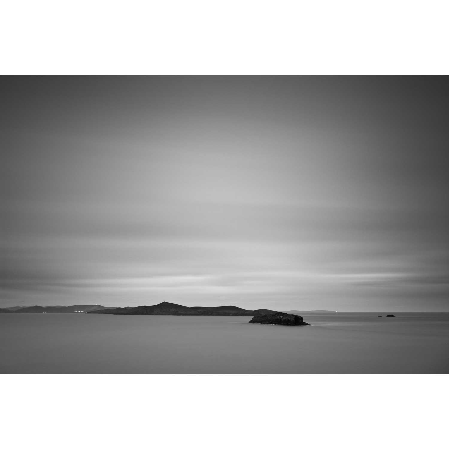
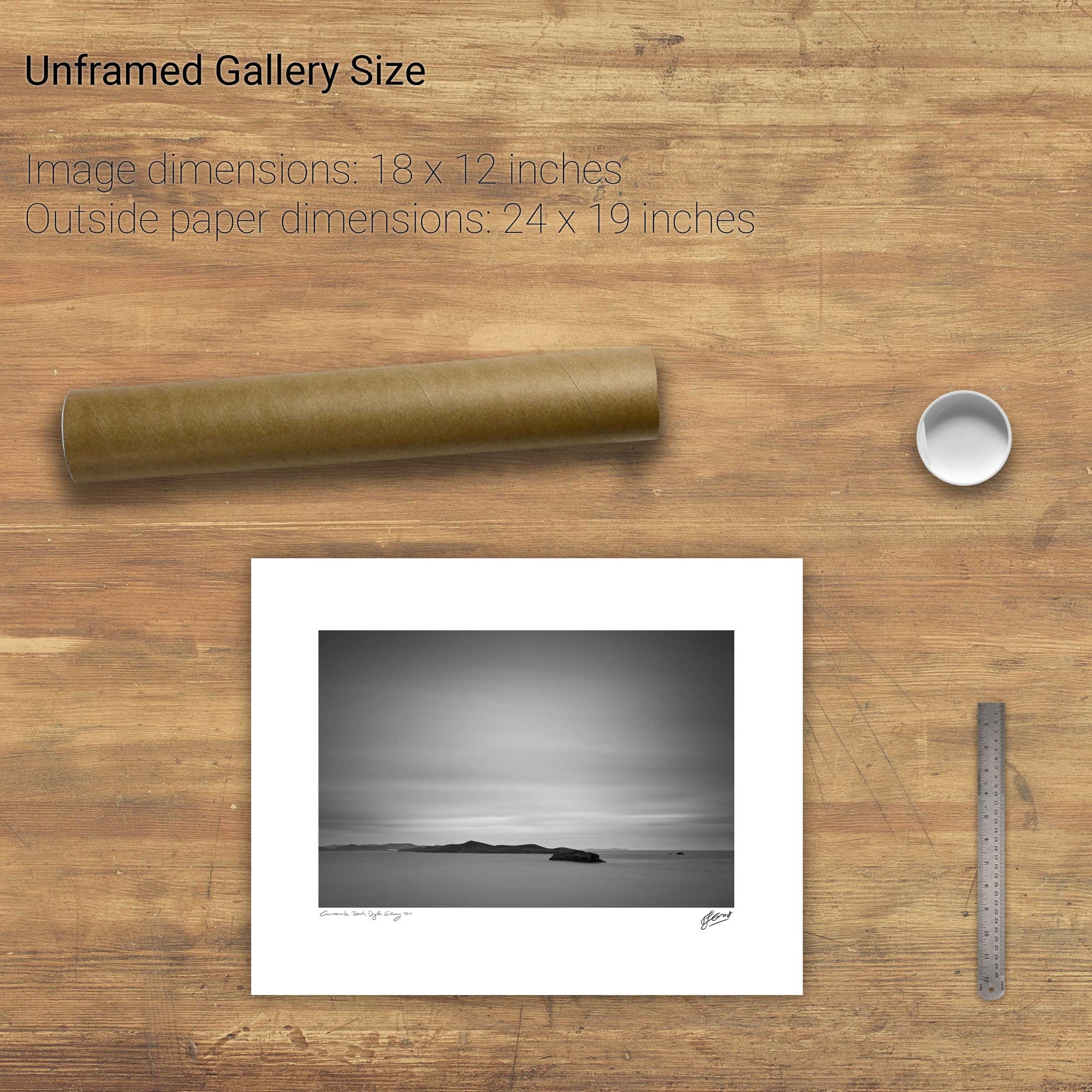
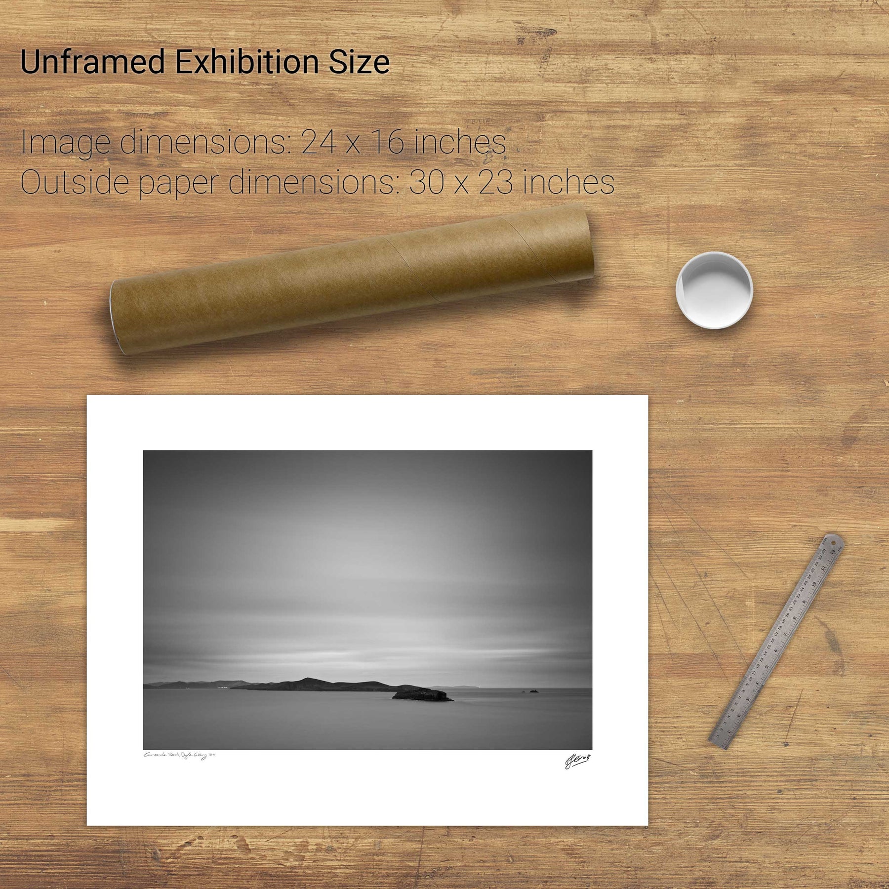
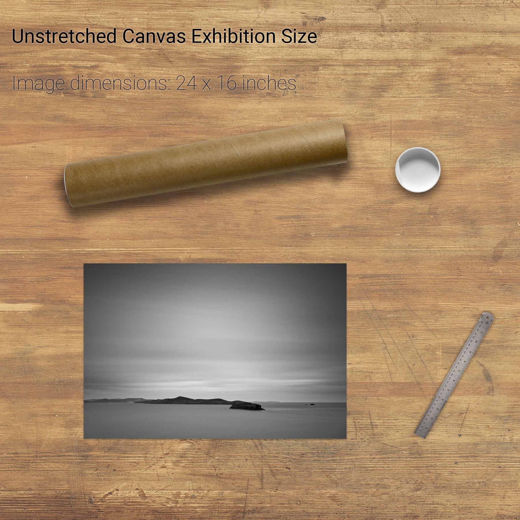
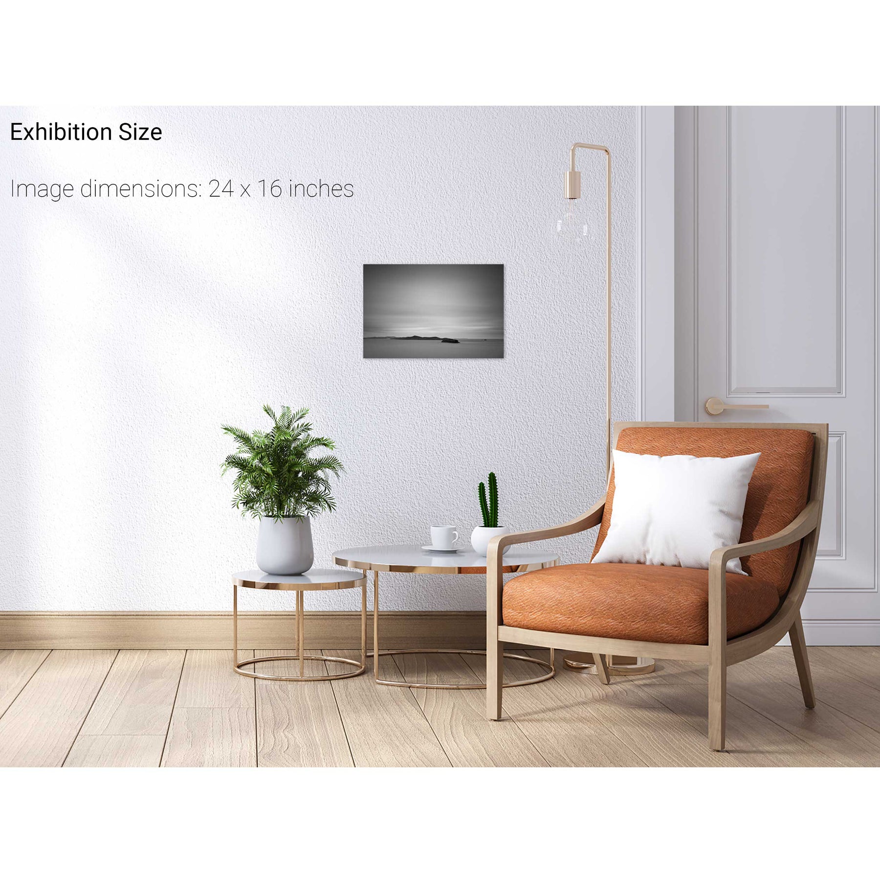
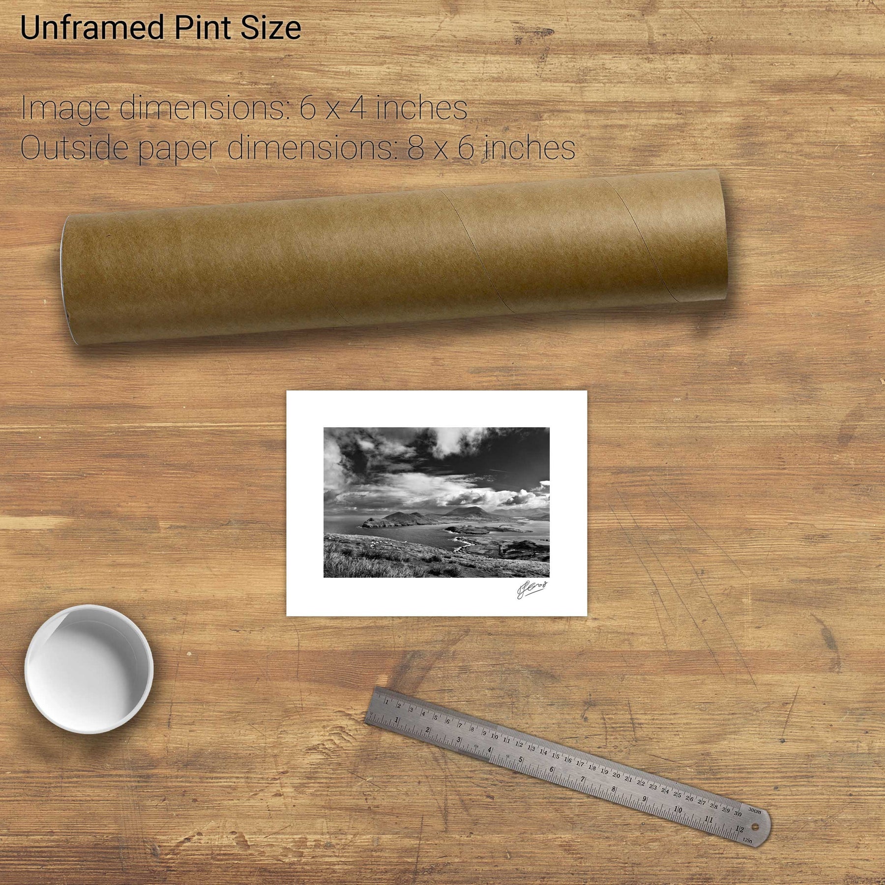
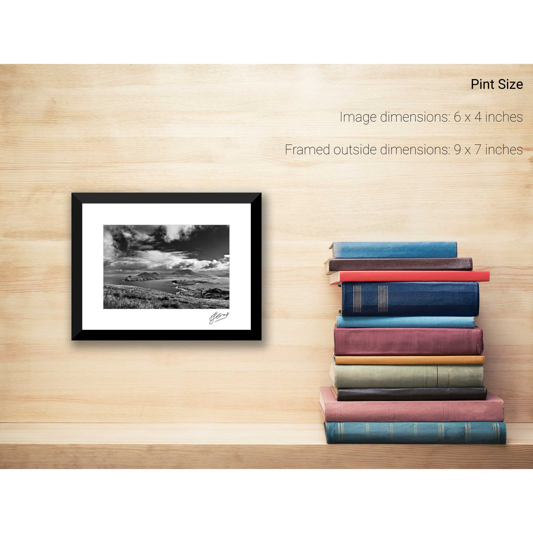
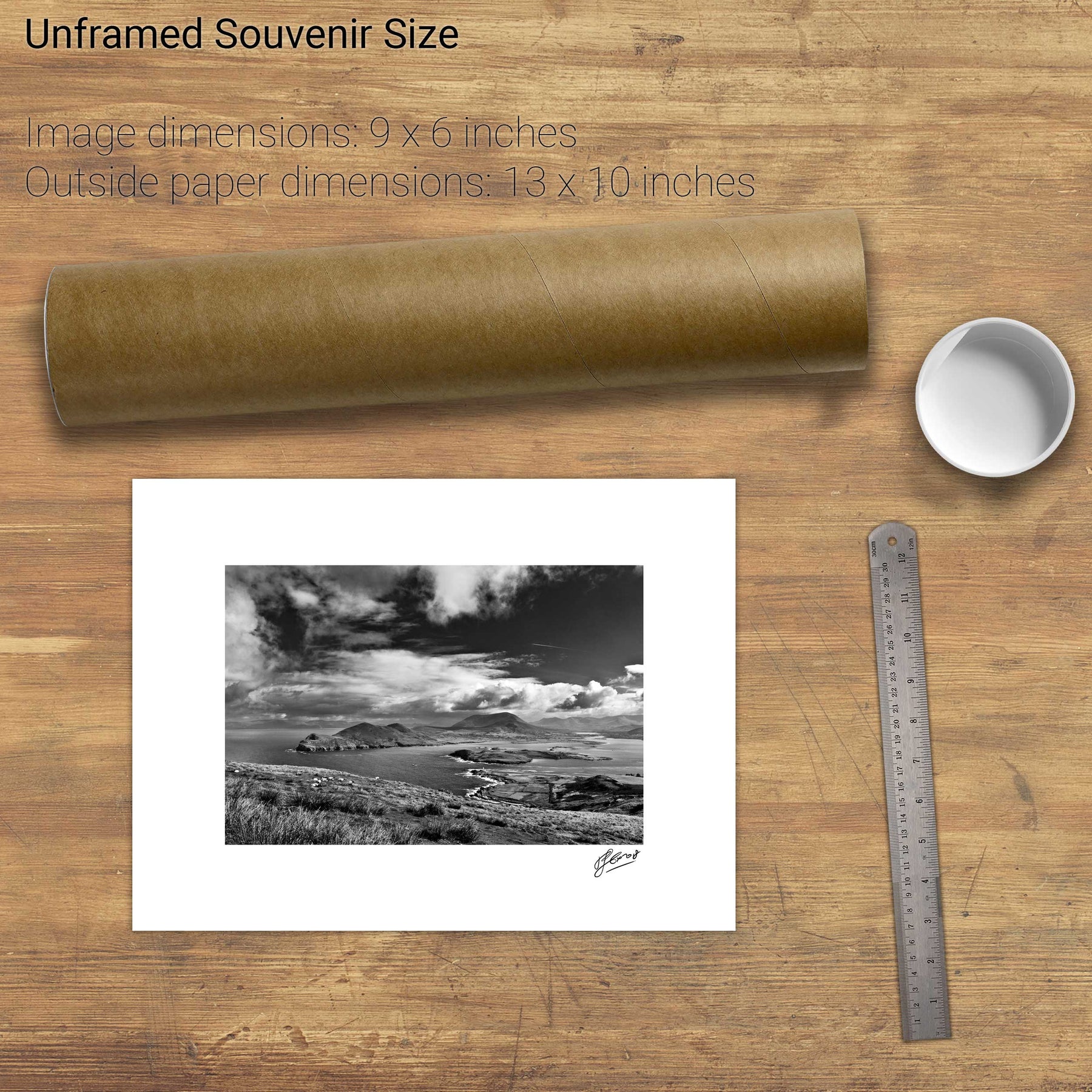
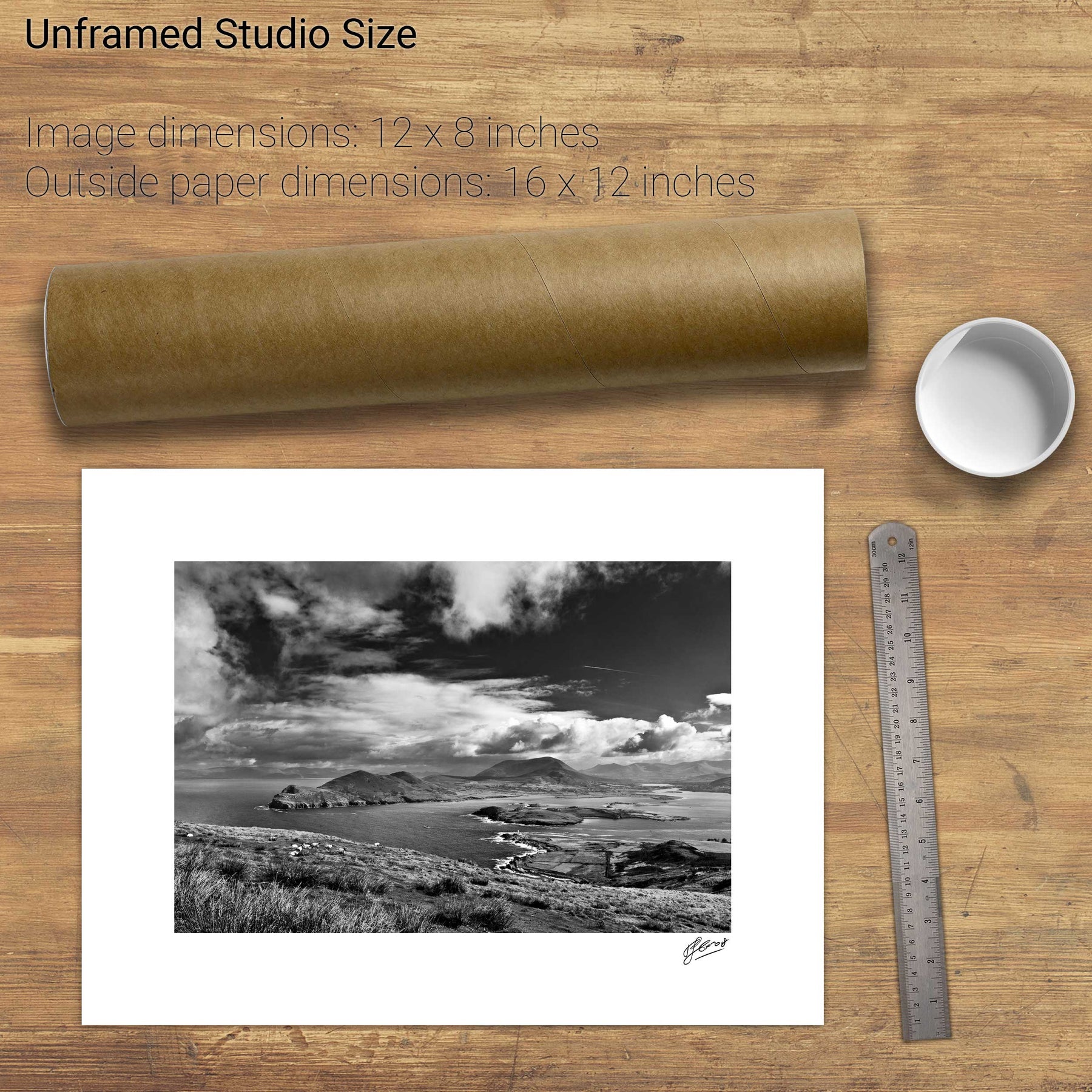
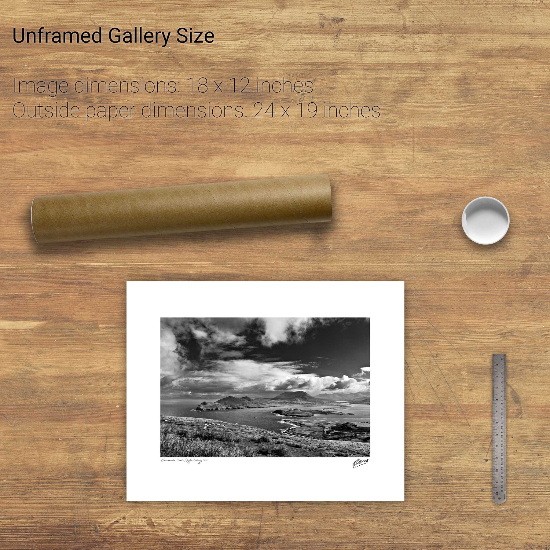
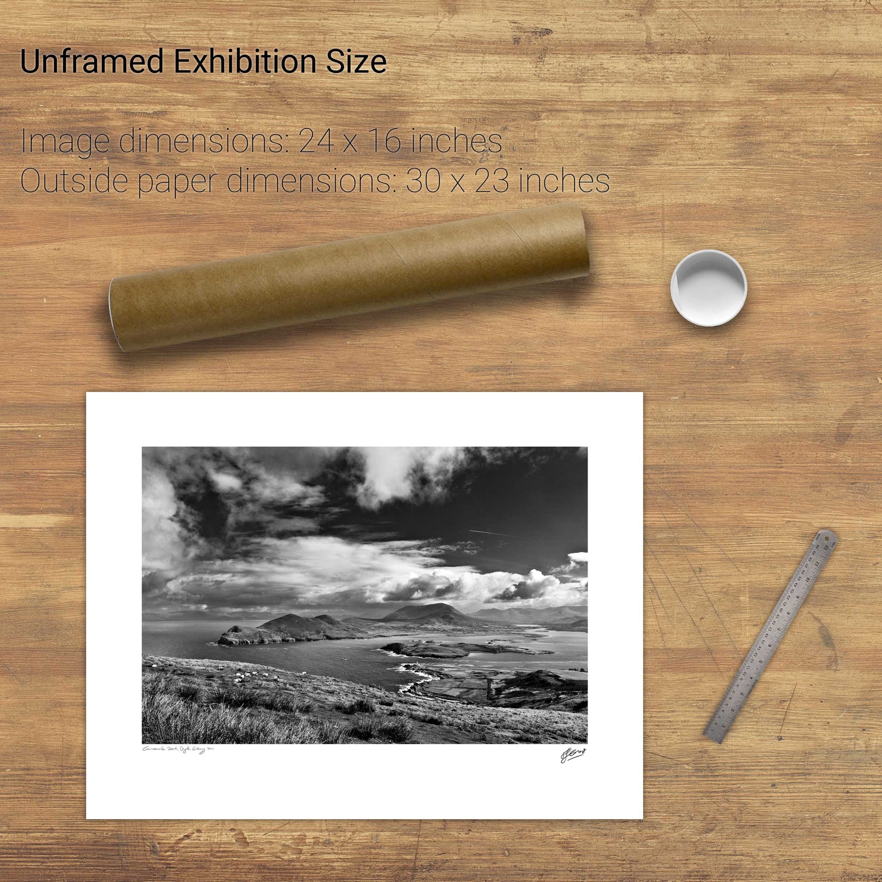
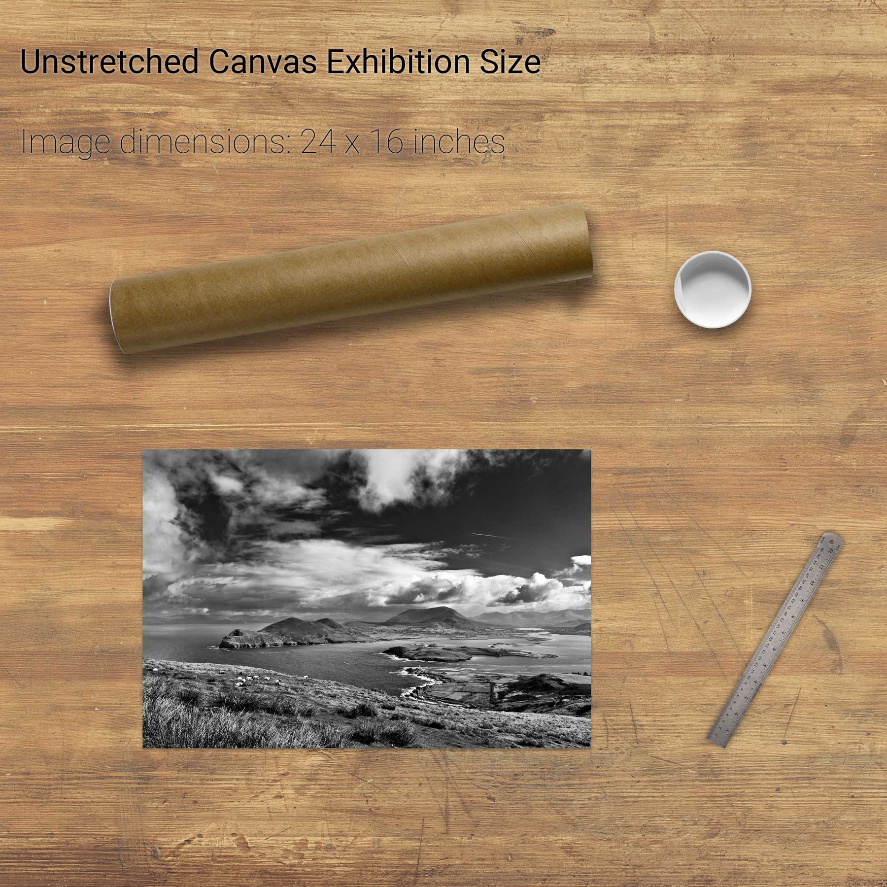
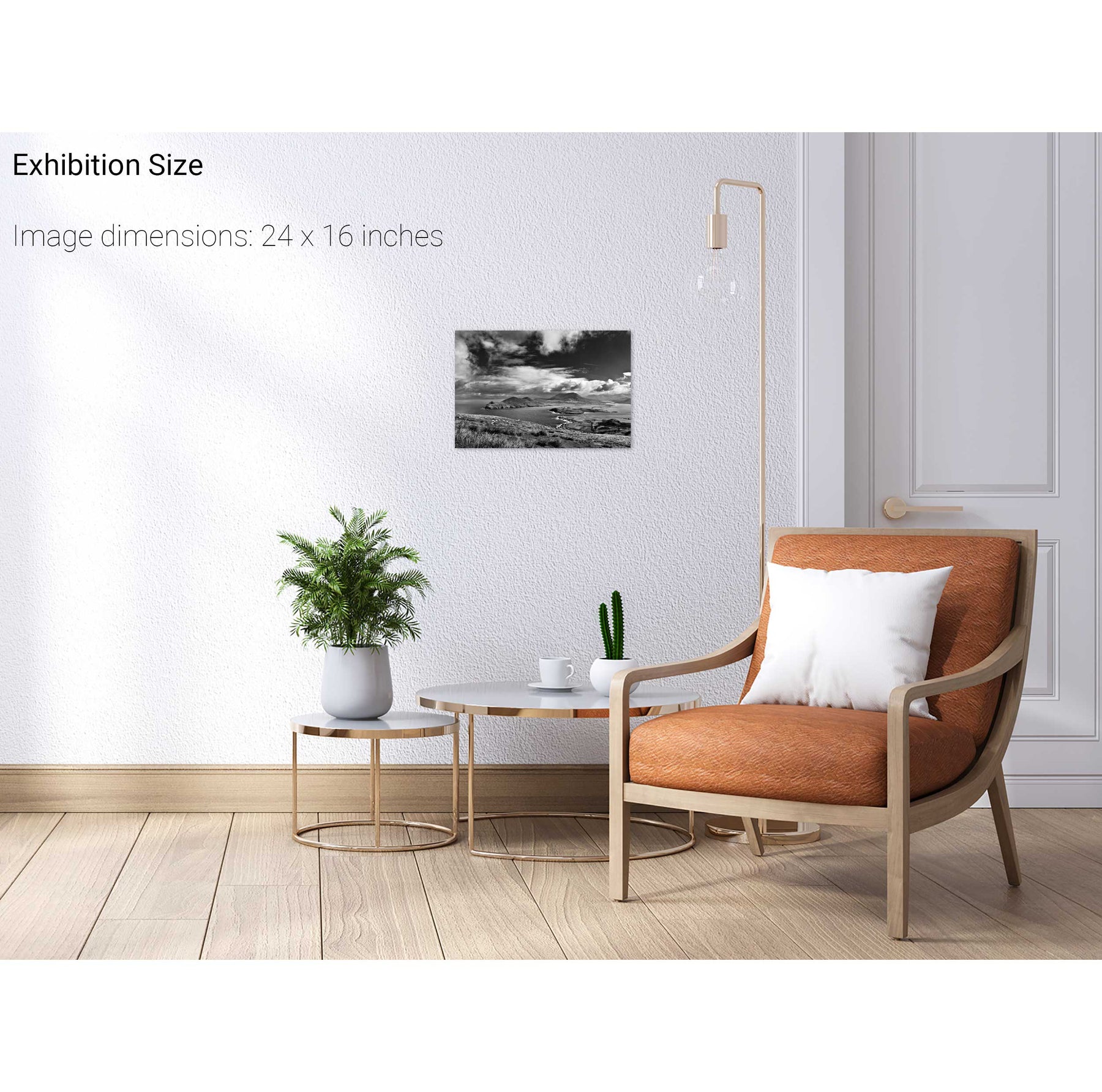
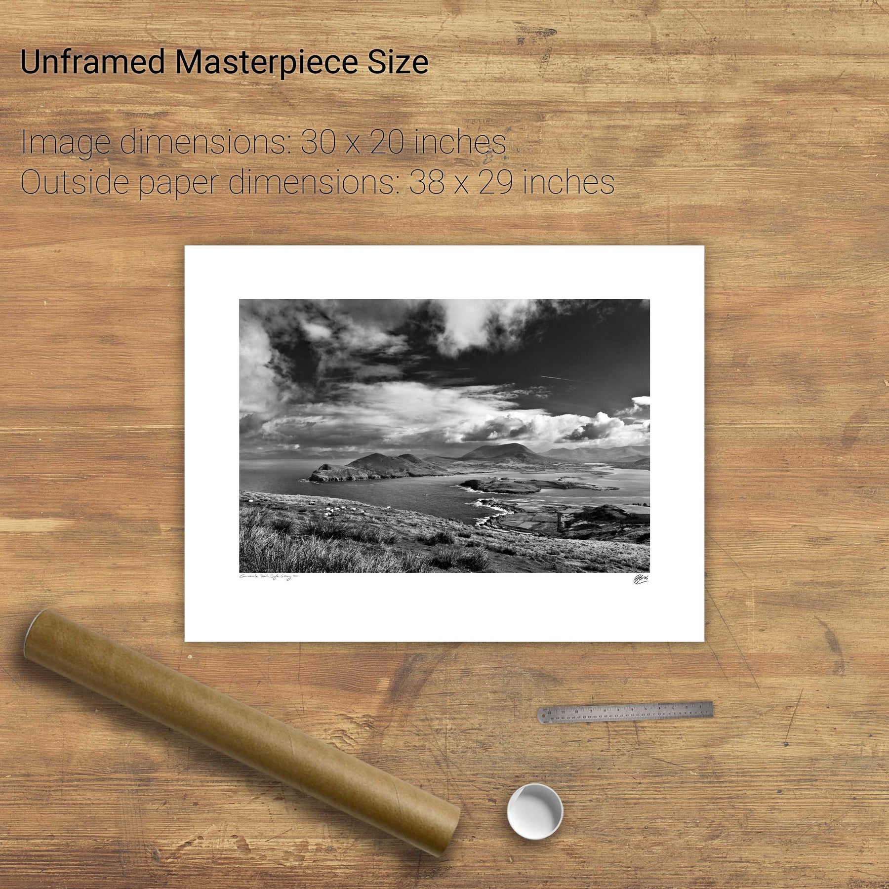
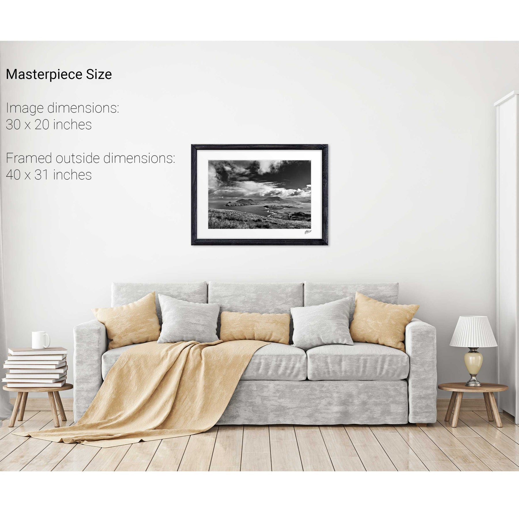
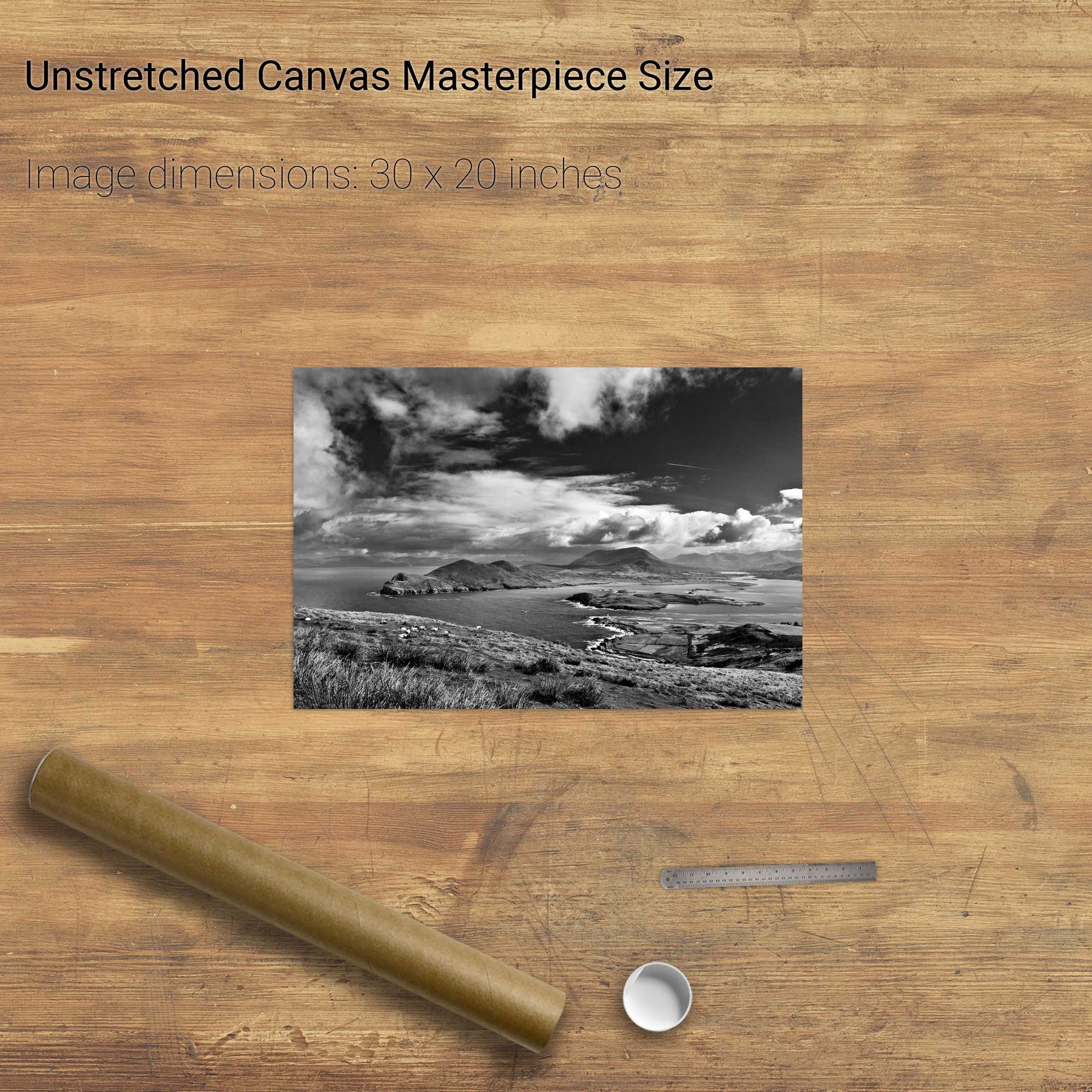
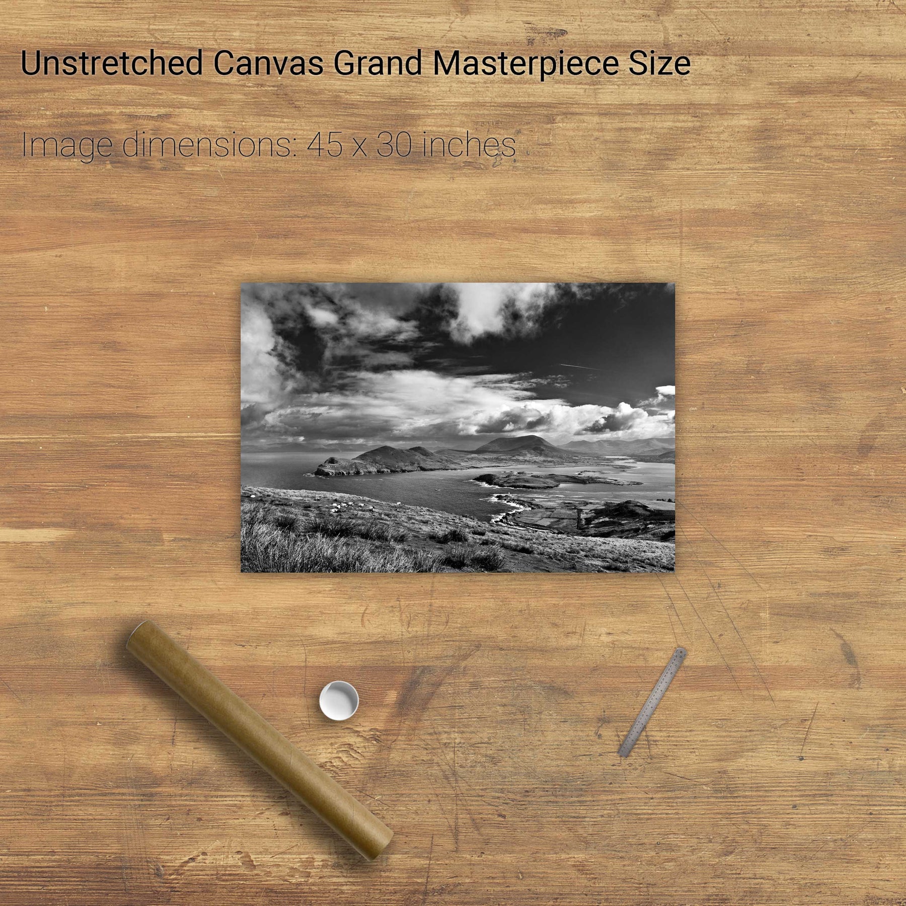
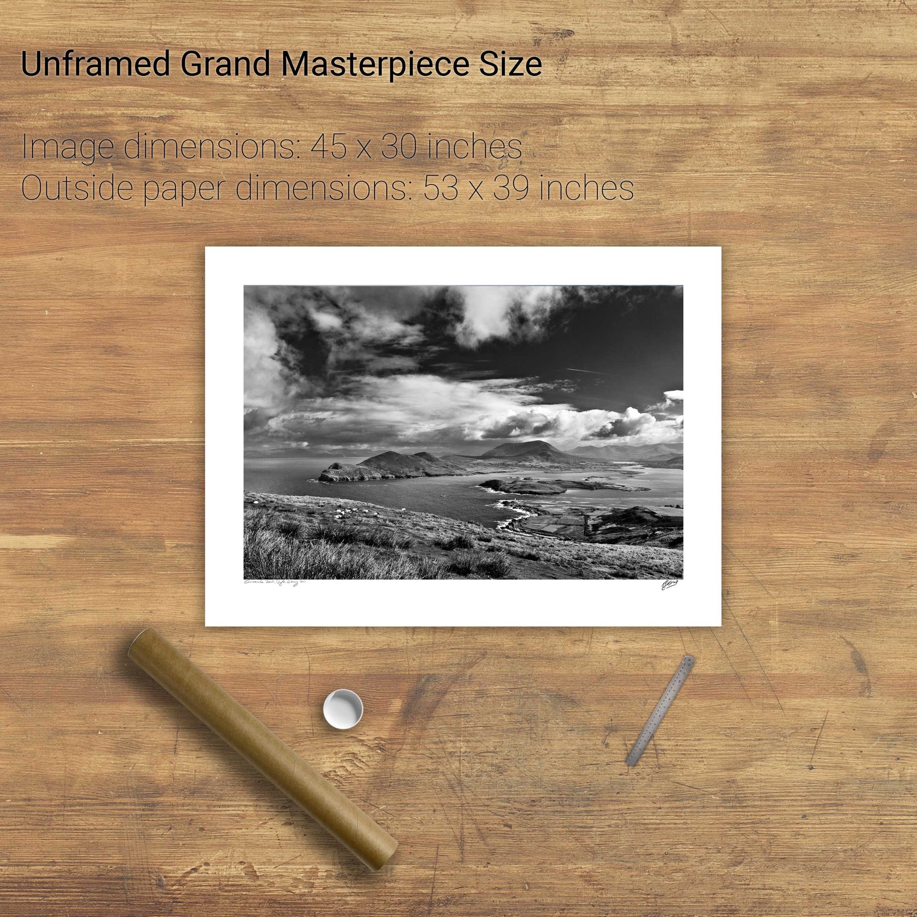
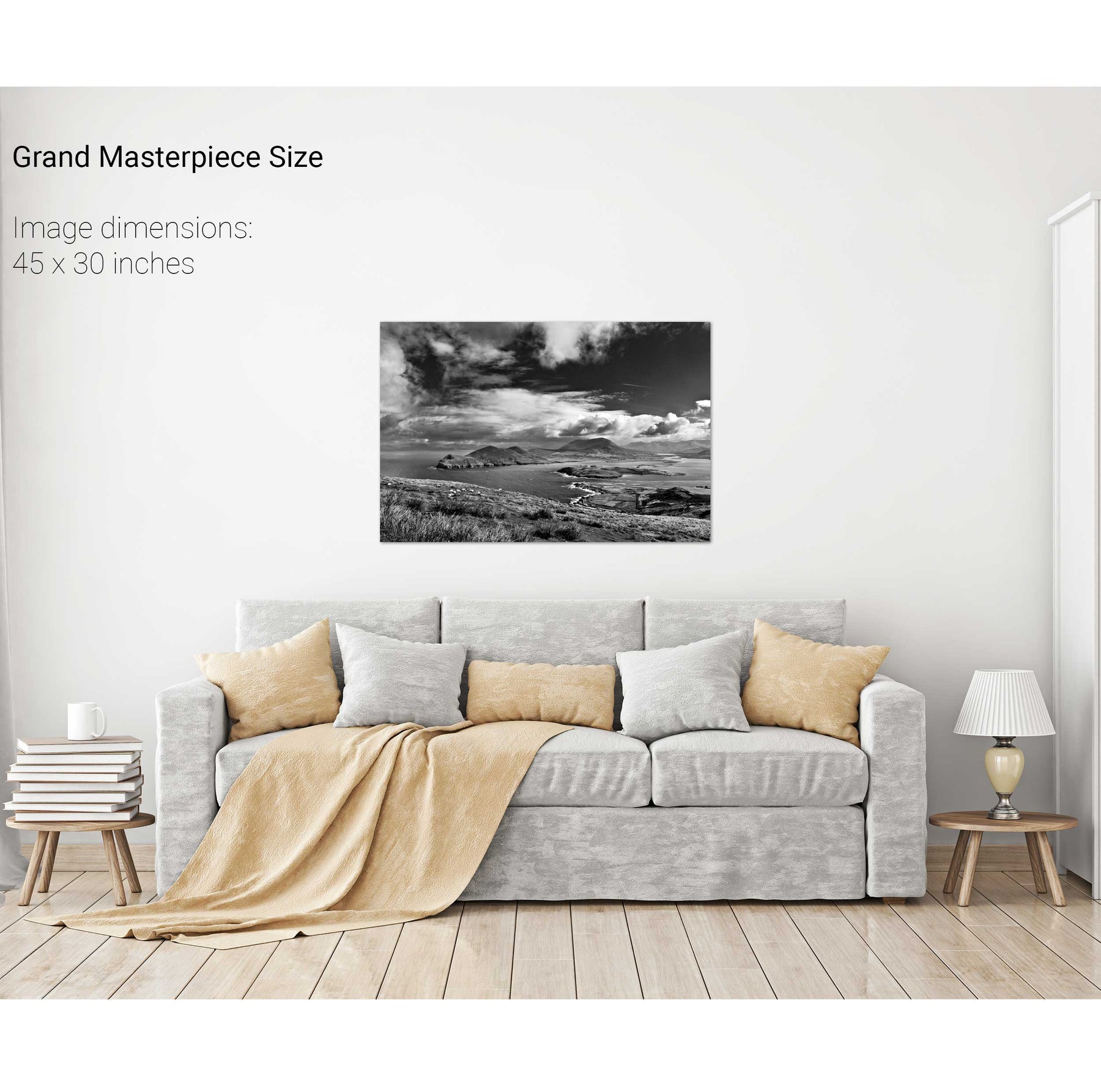
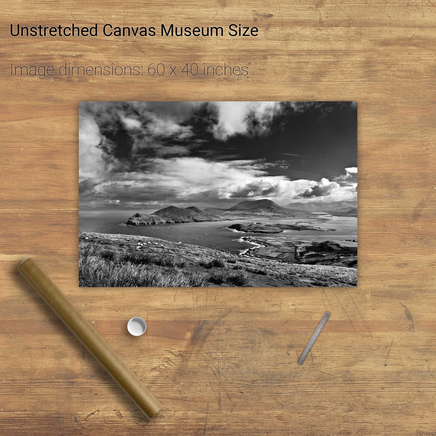
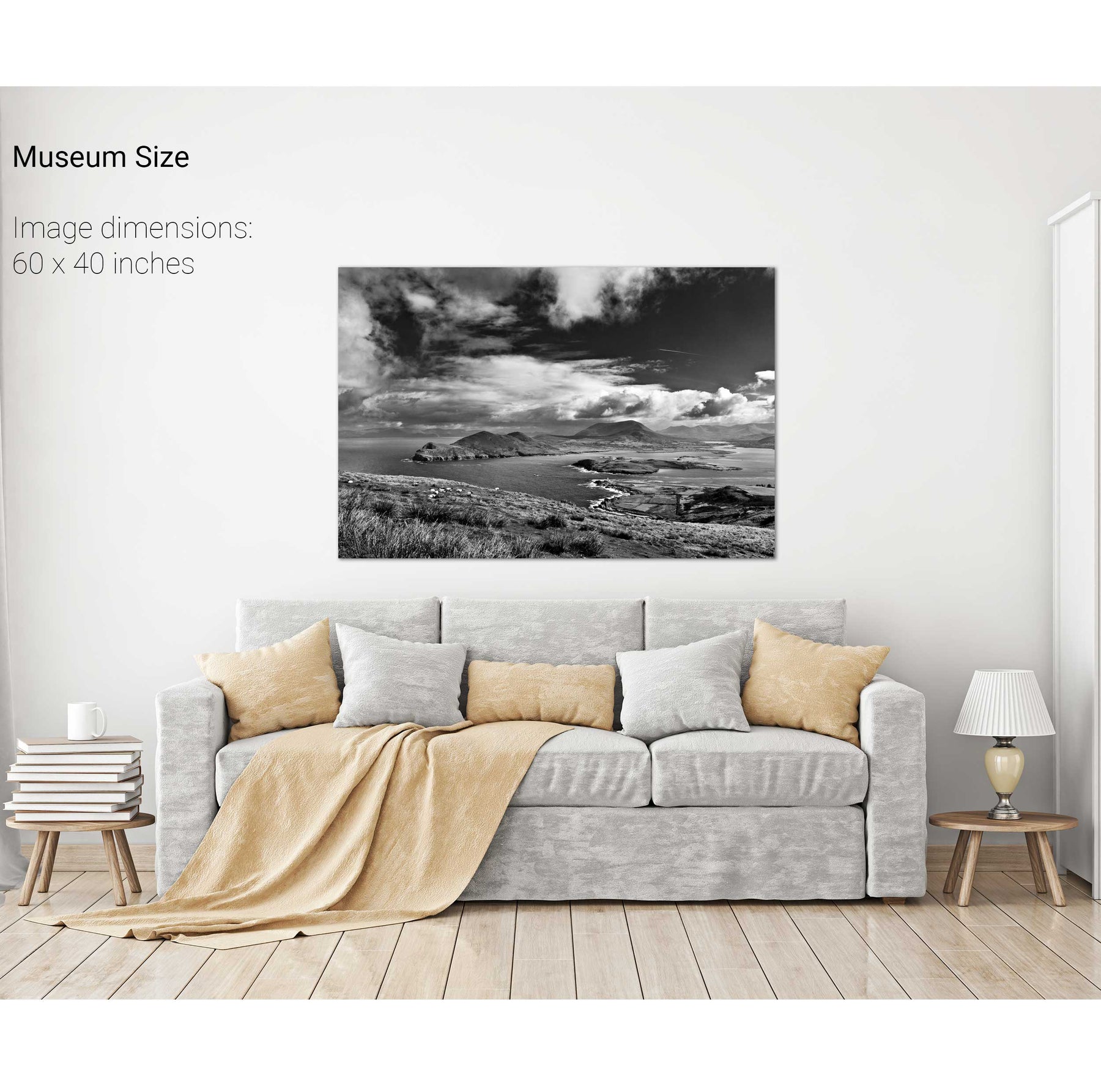
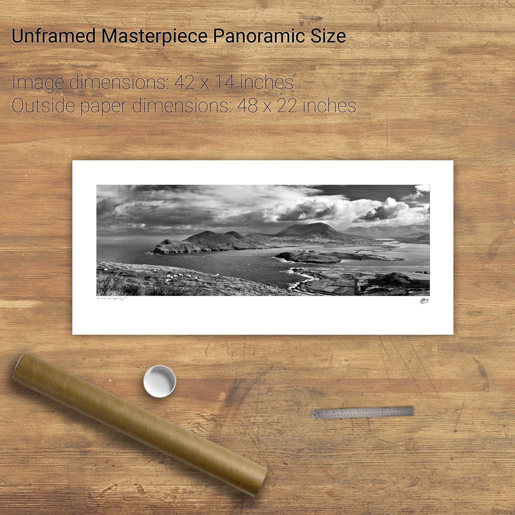
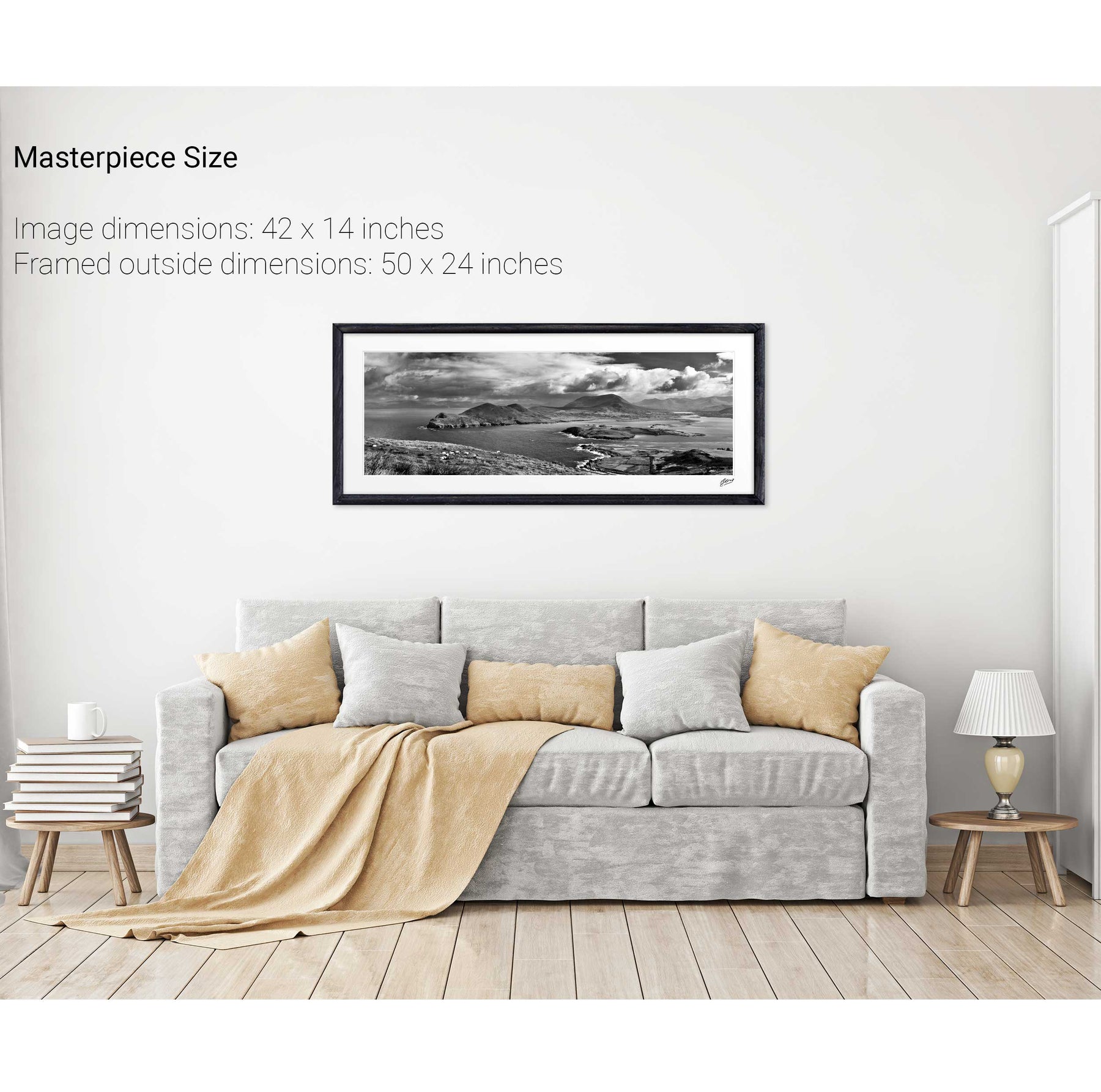
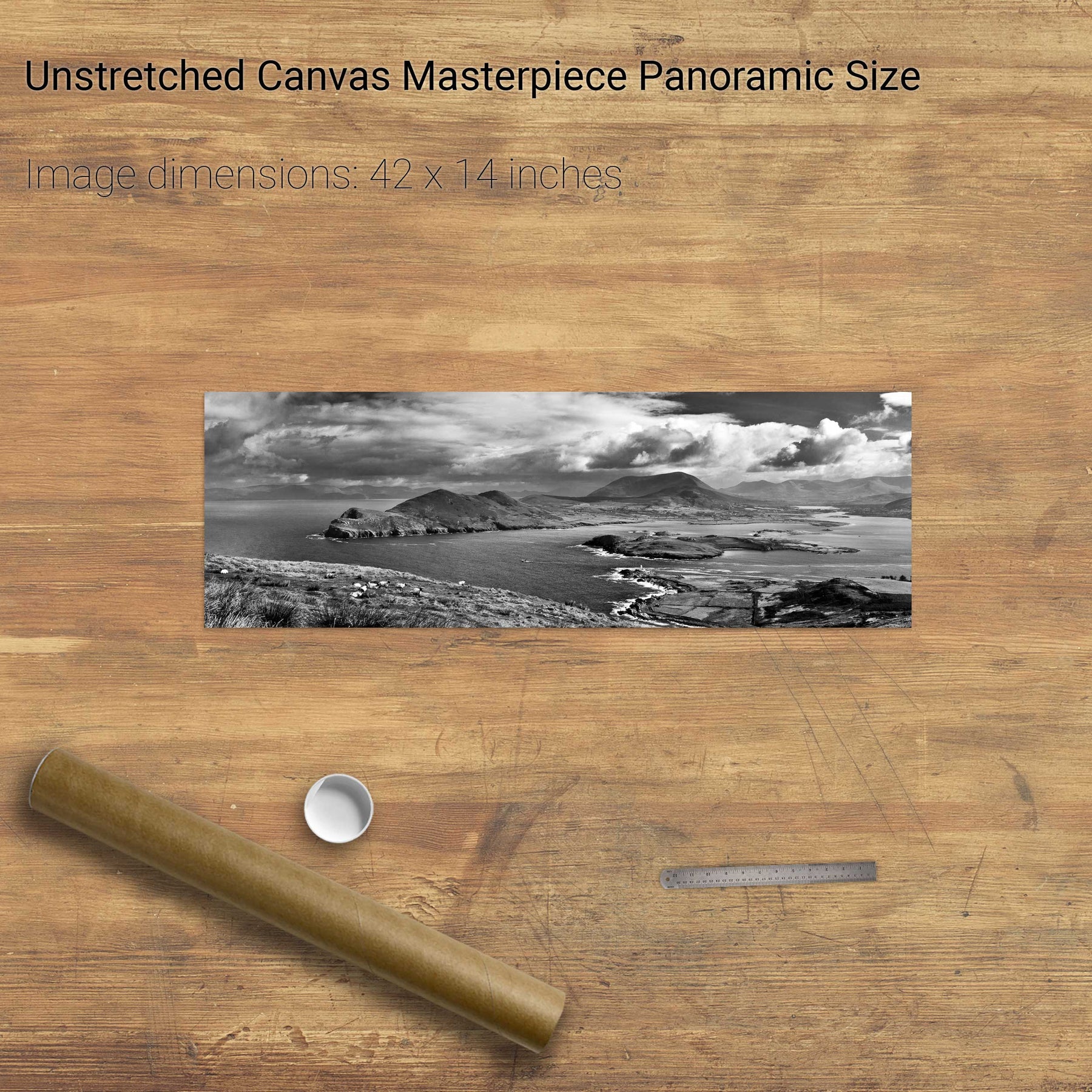
Dunquin, Dingle, Co. Kerry
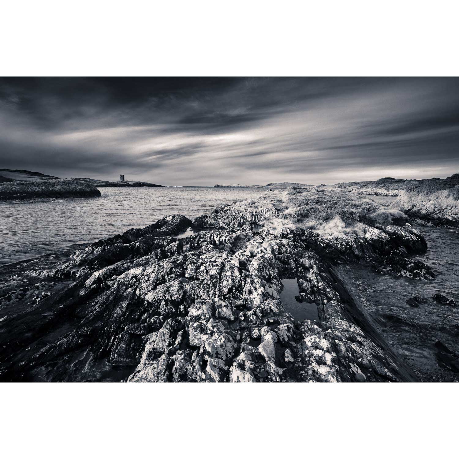
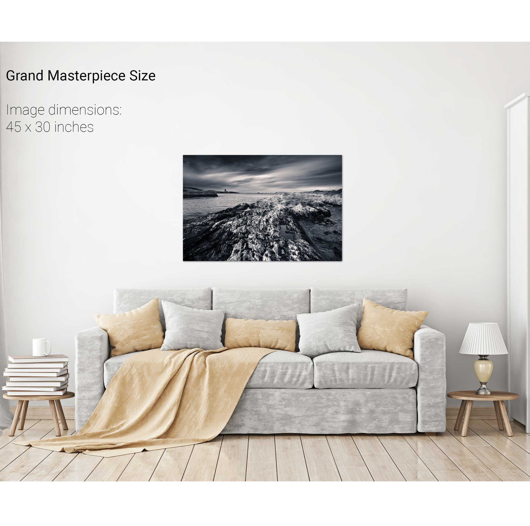
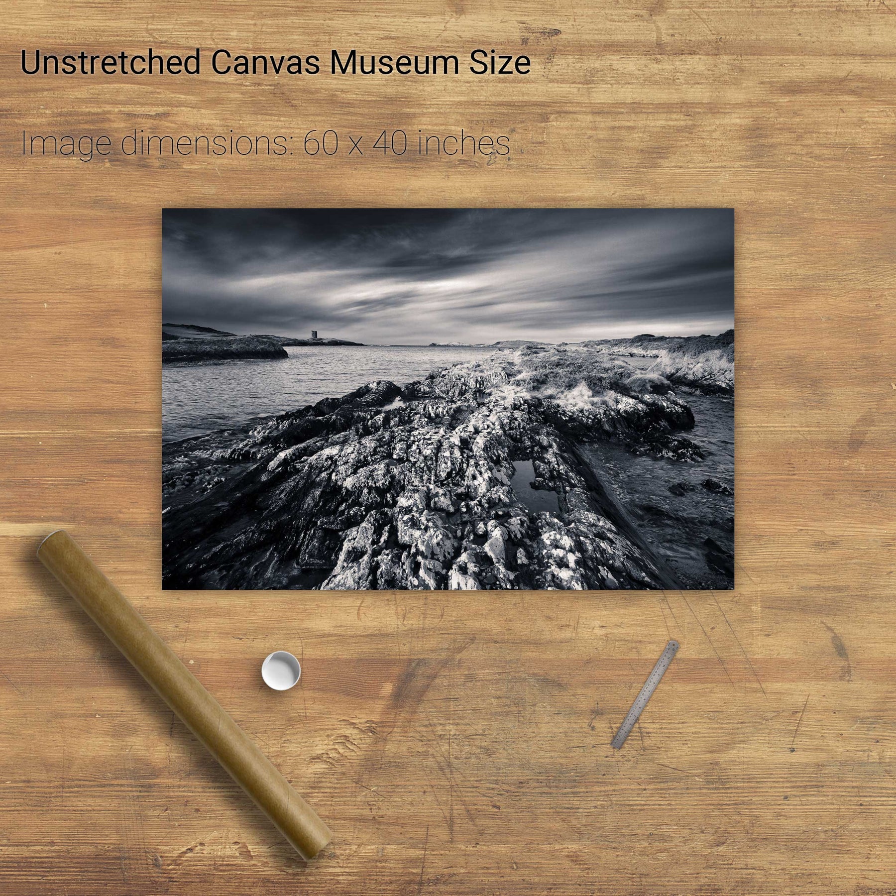
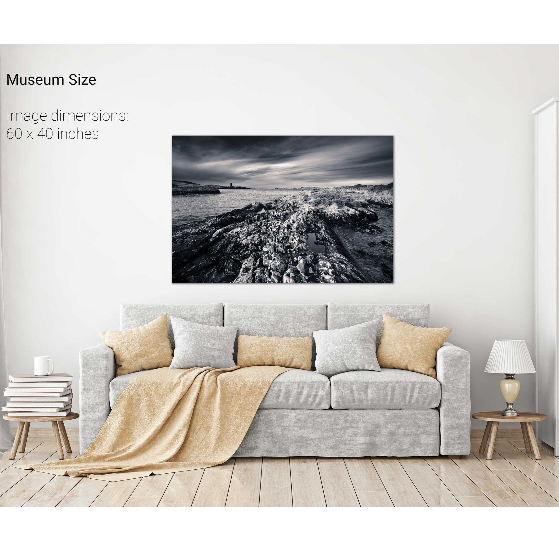
Watchtower & Rocks, Mizen, Co. Cork
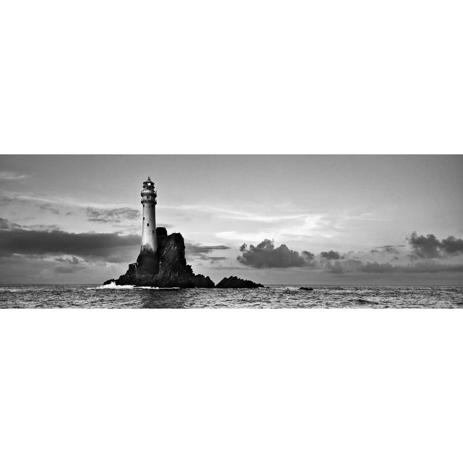
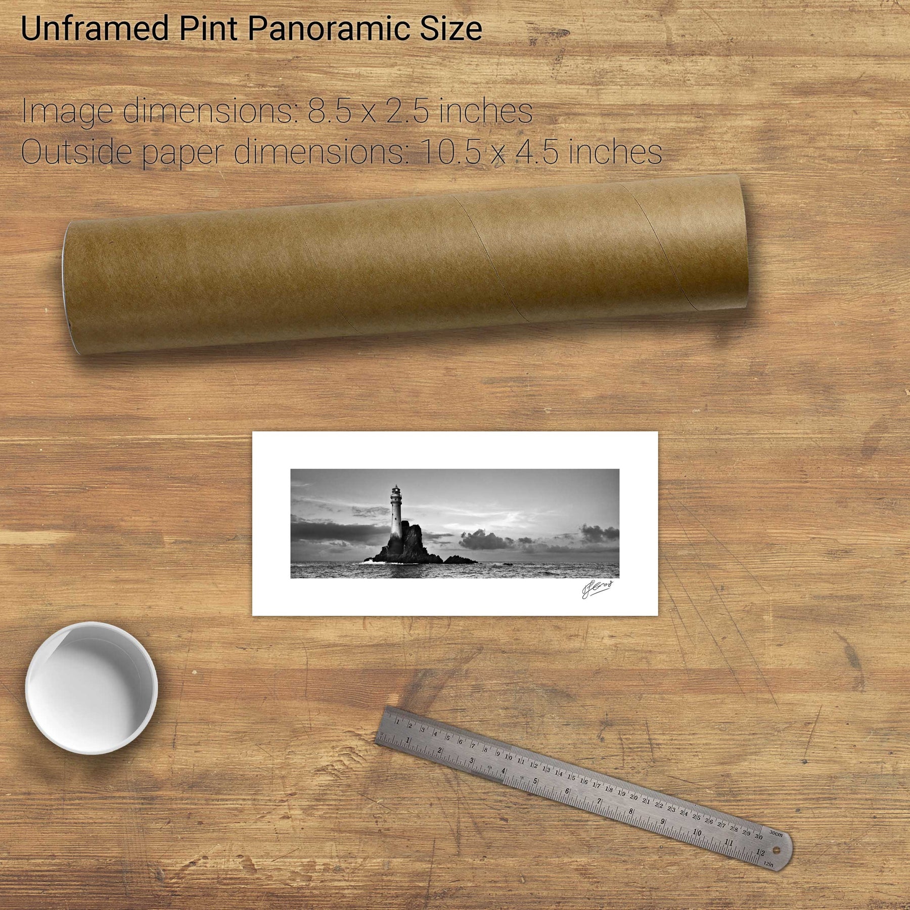
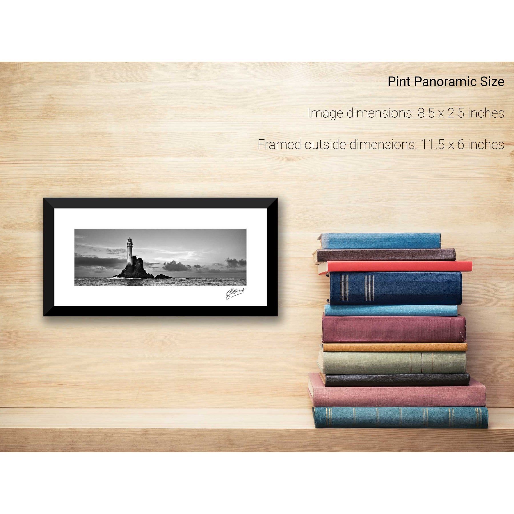
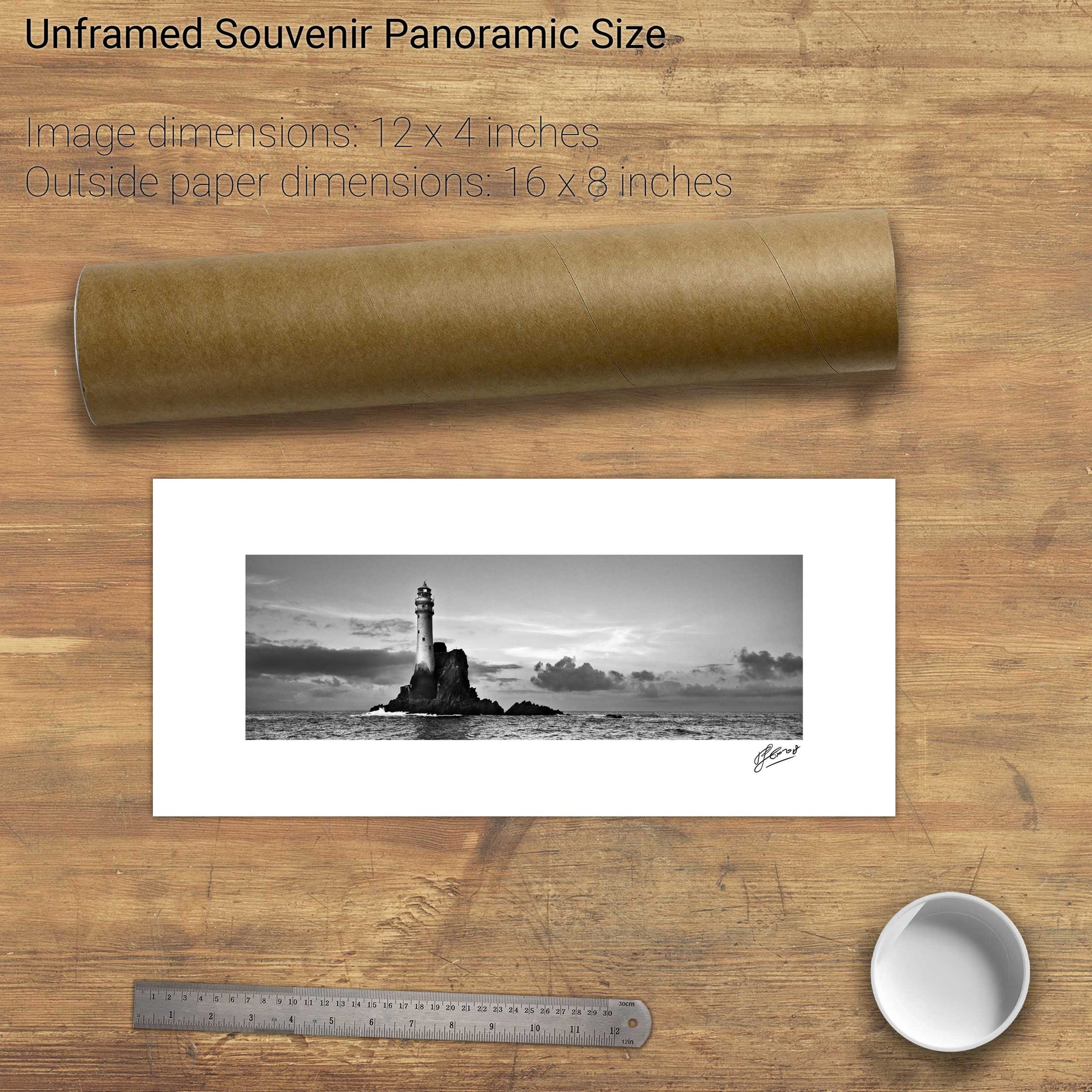
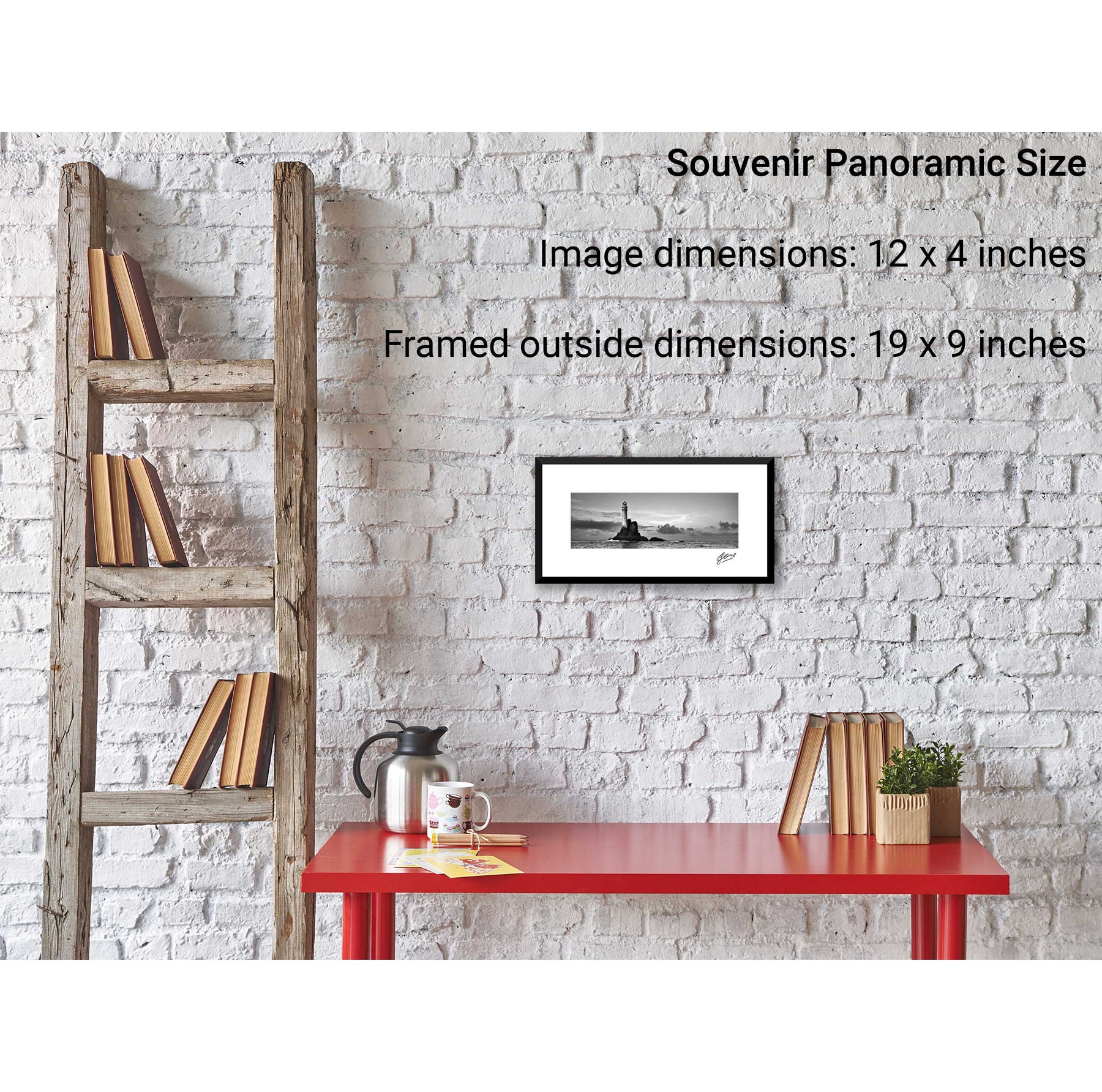
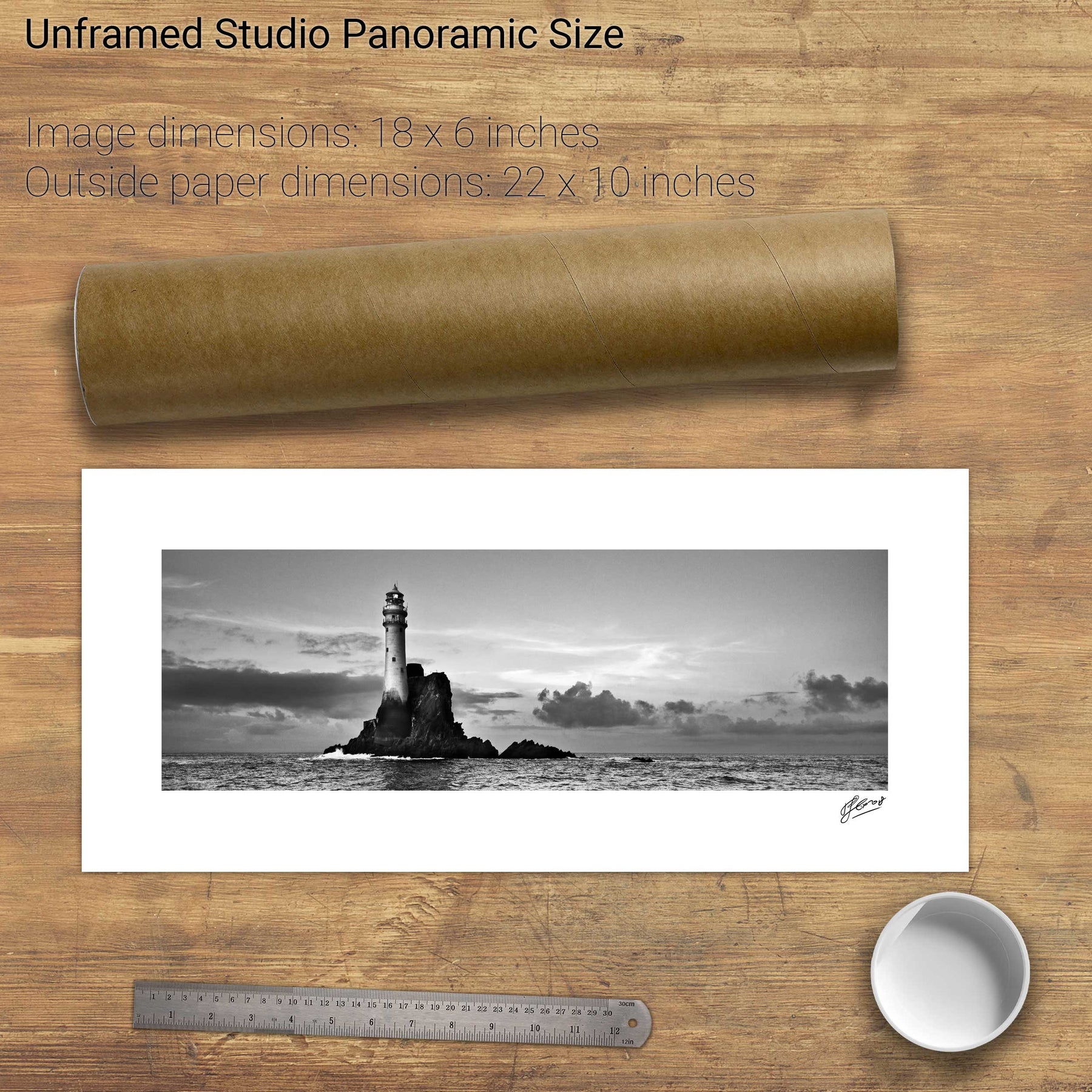
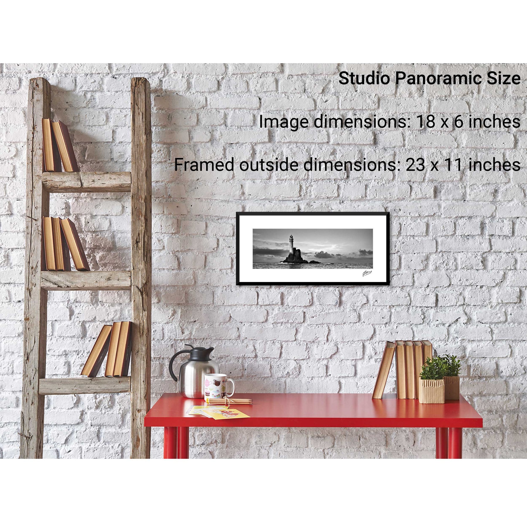
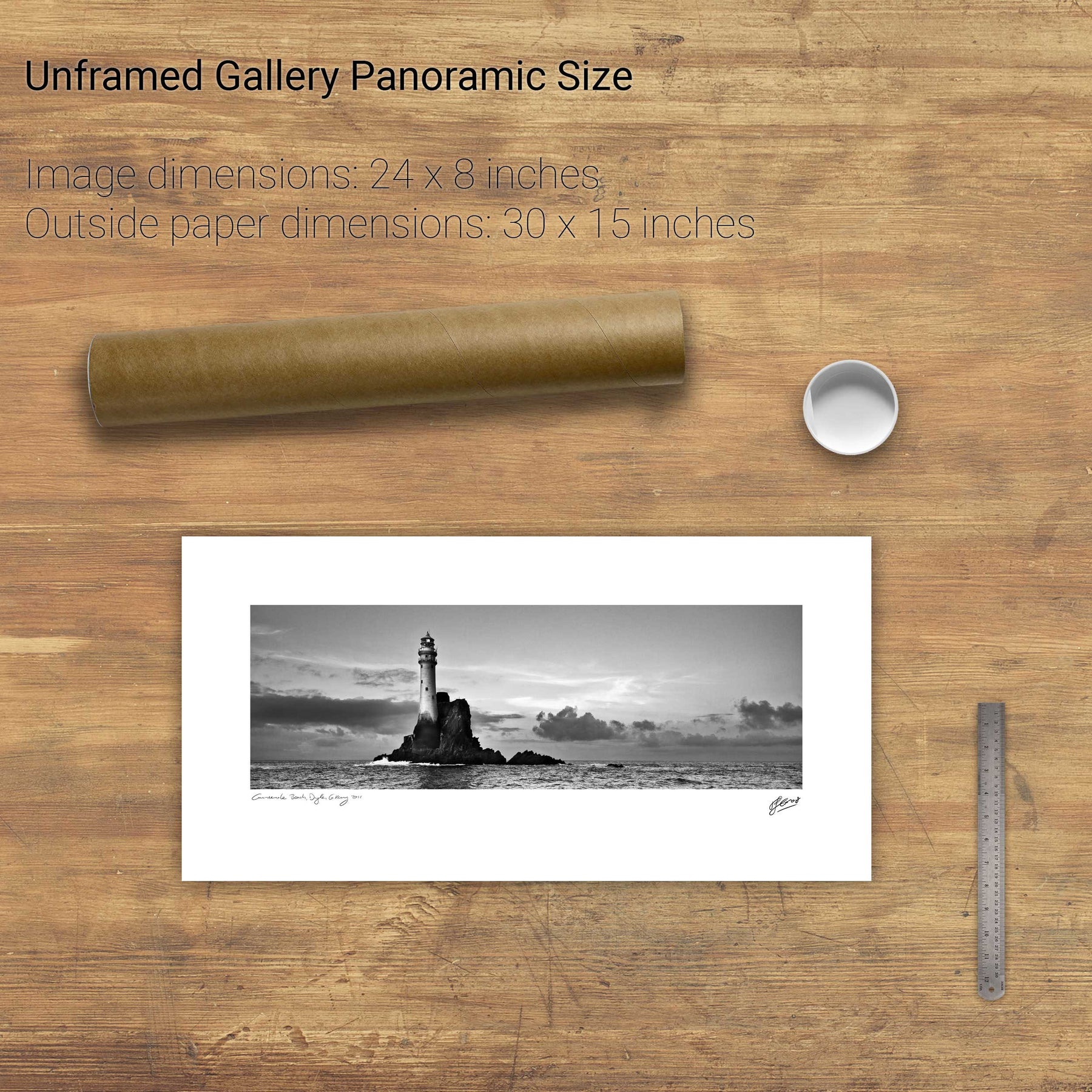
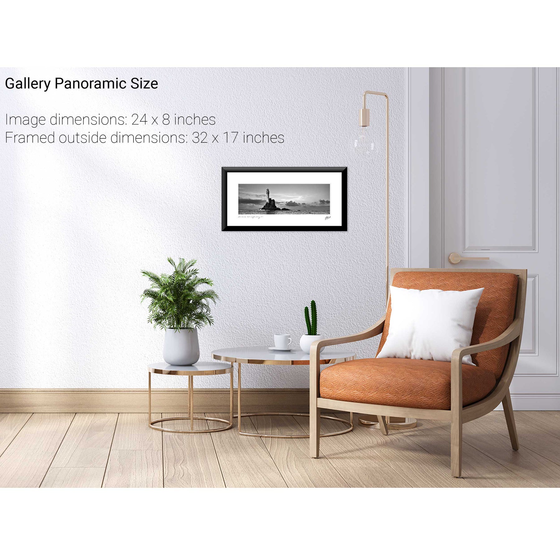
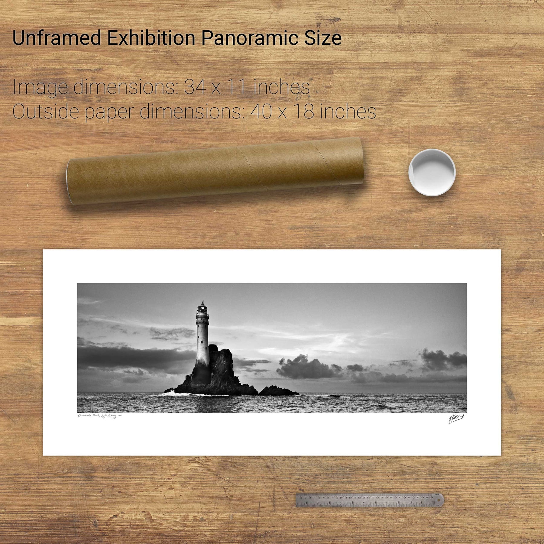
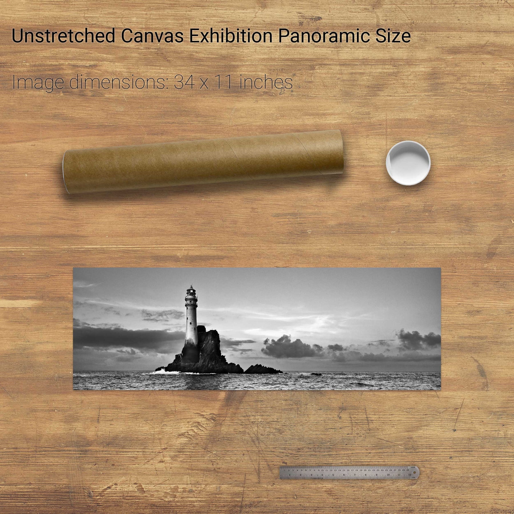
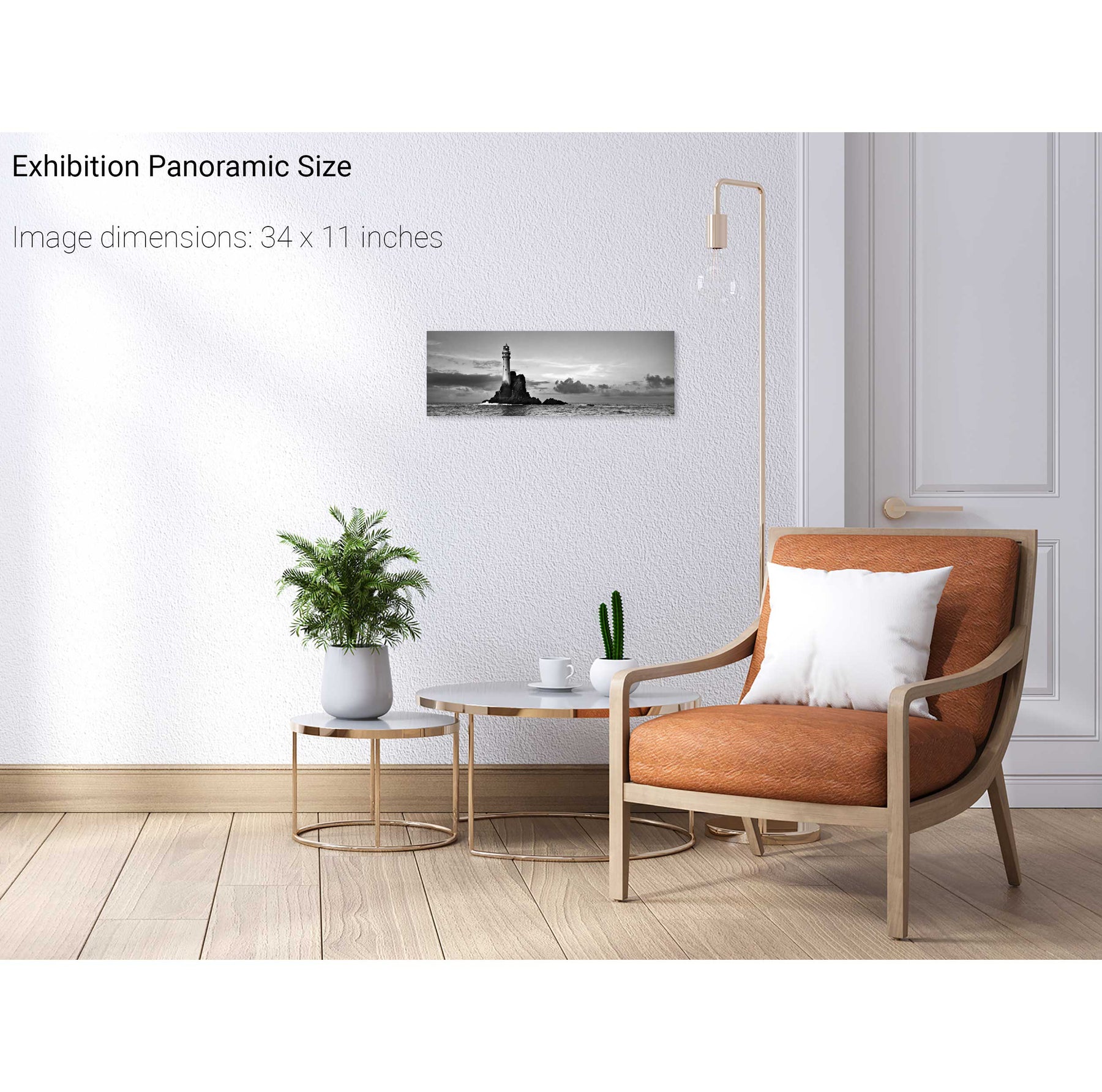
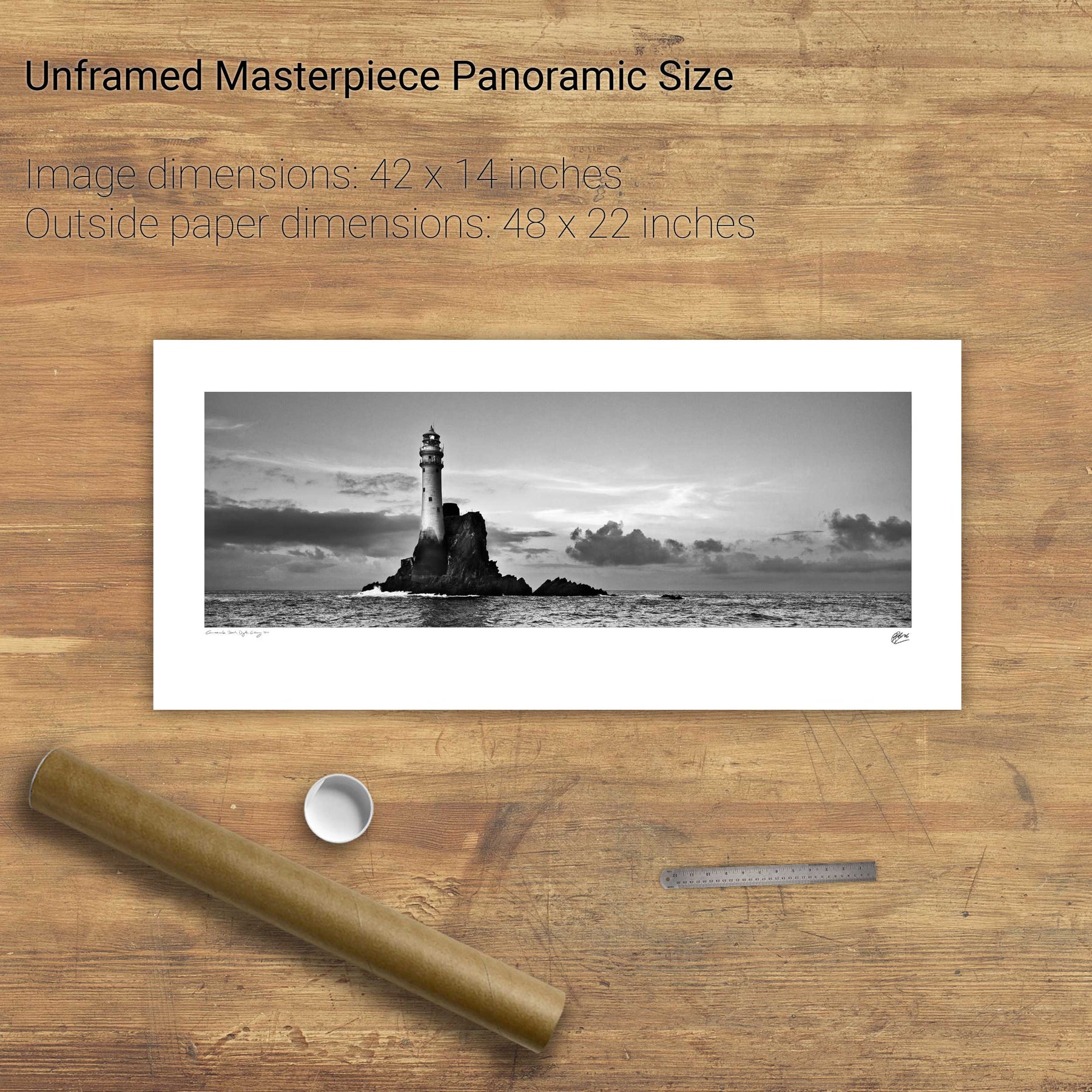
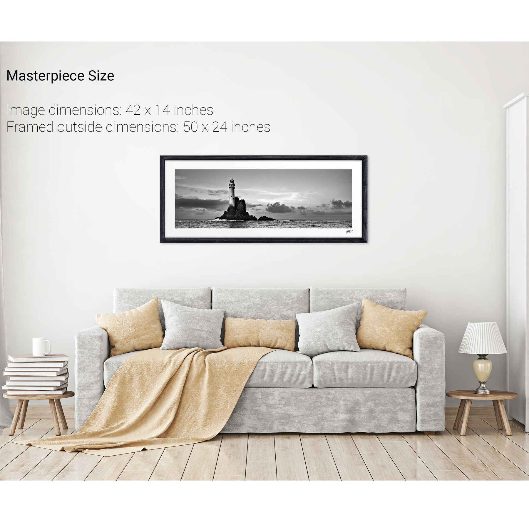
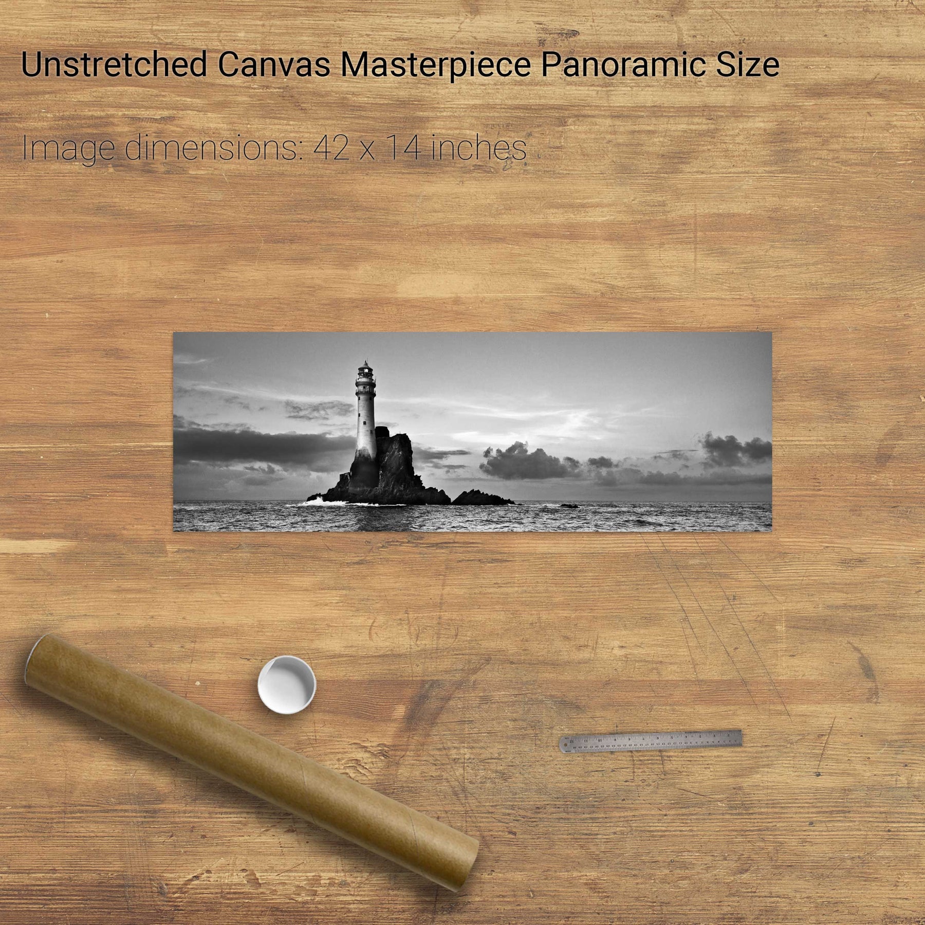
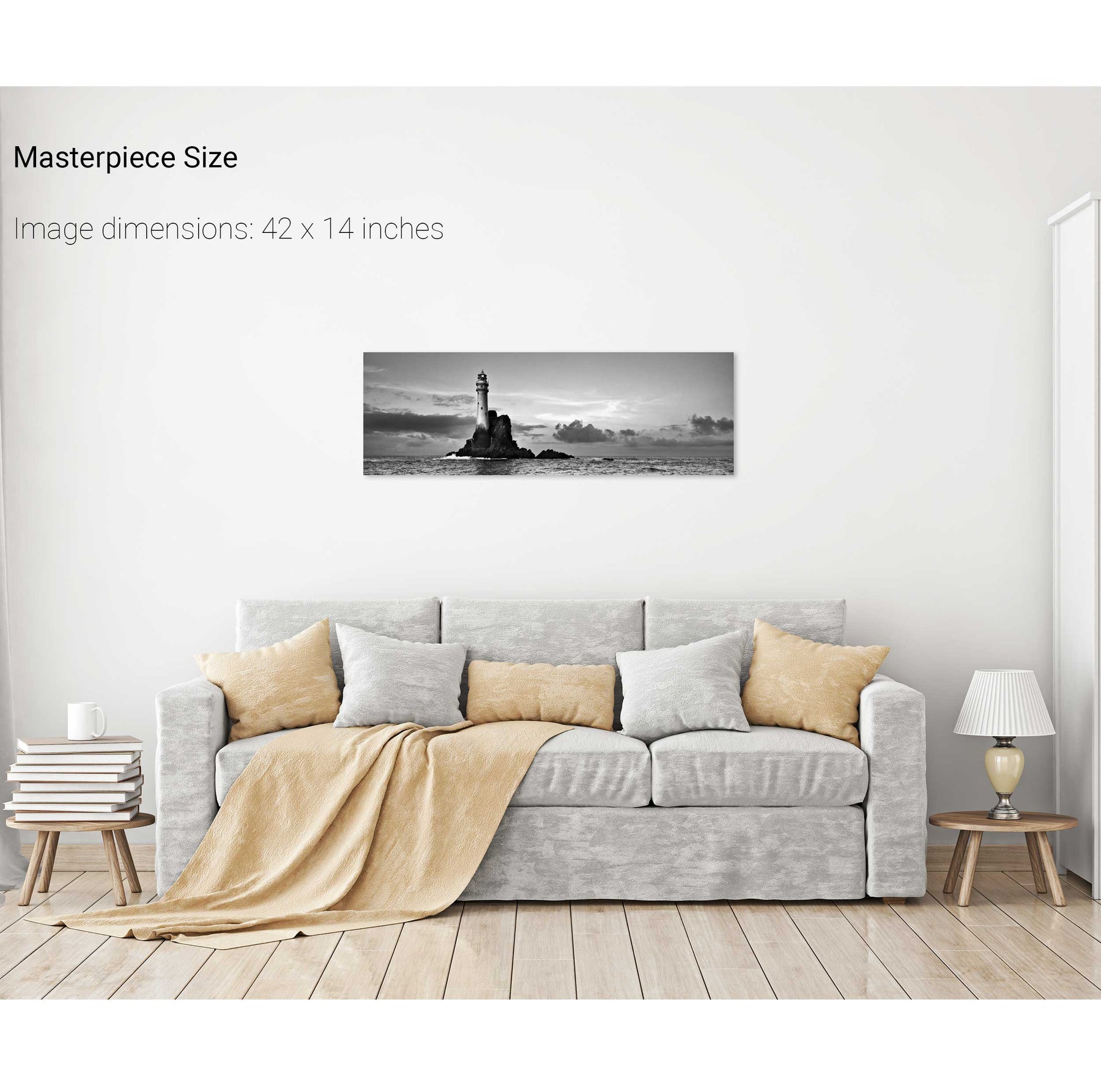
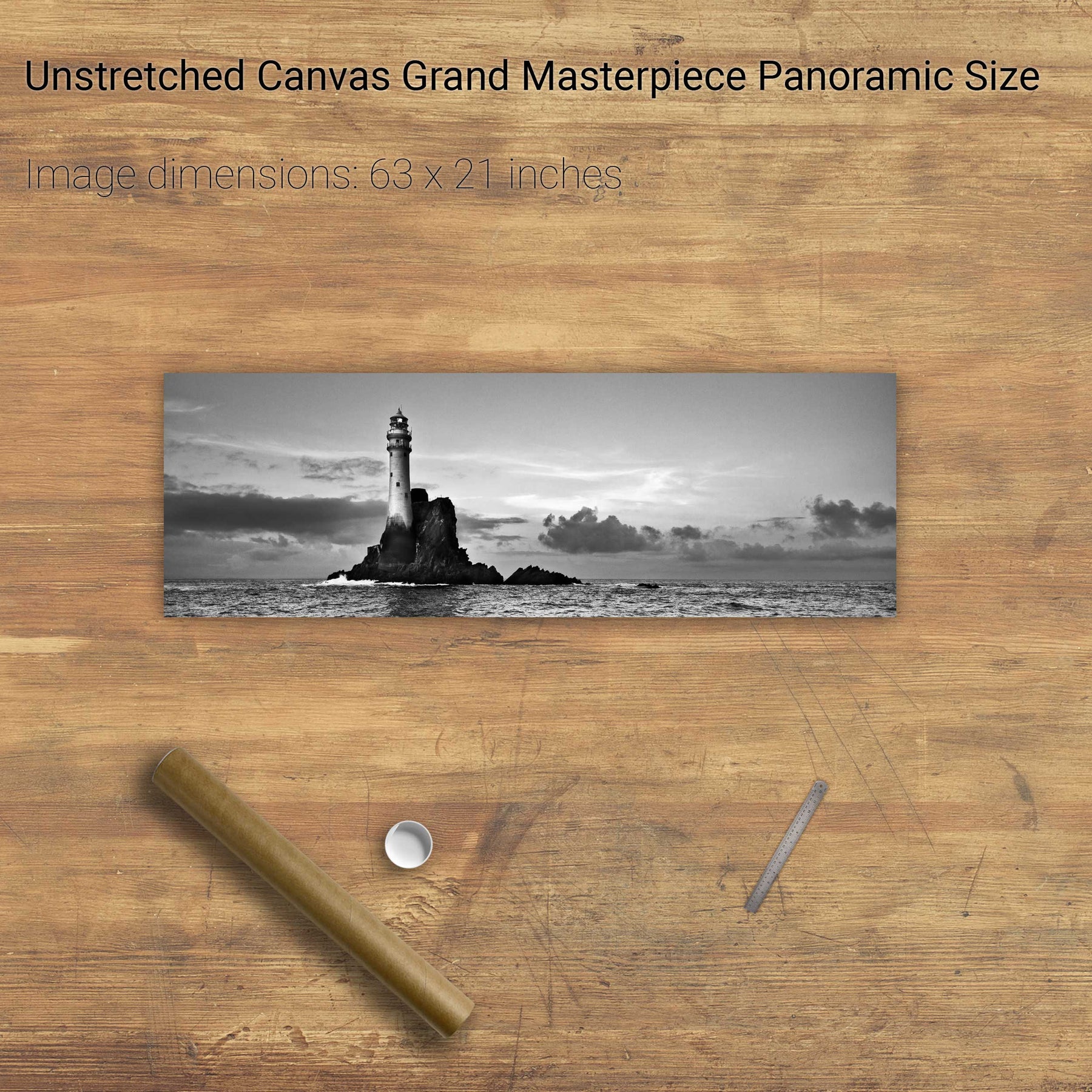
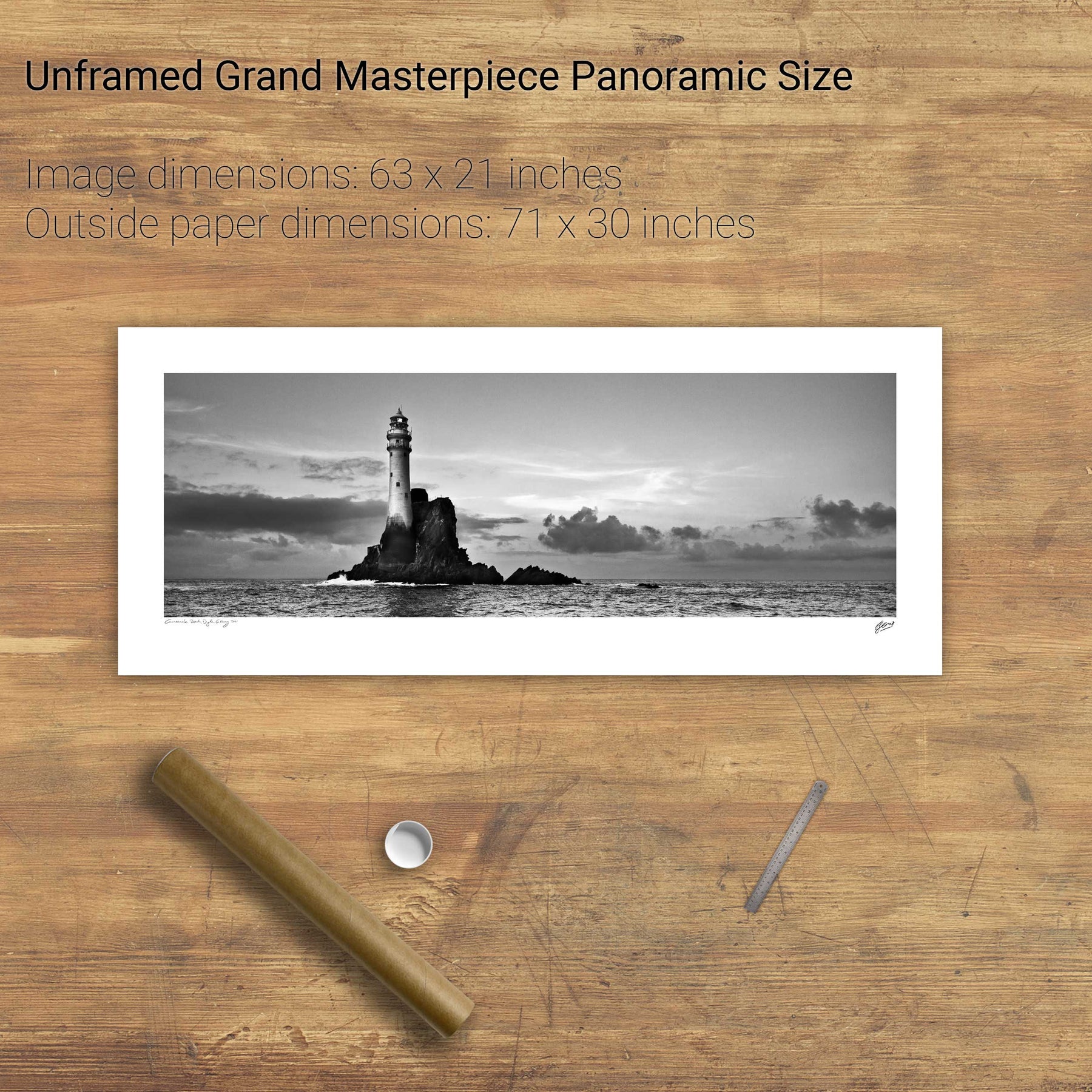
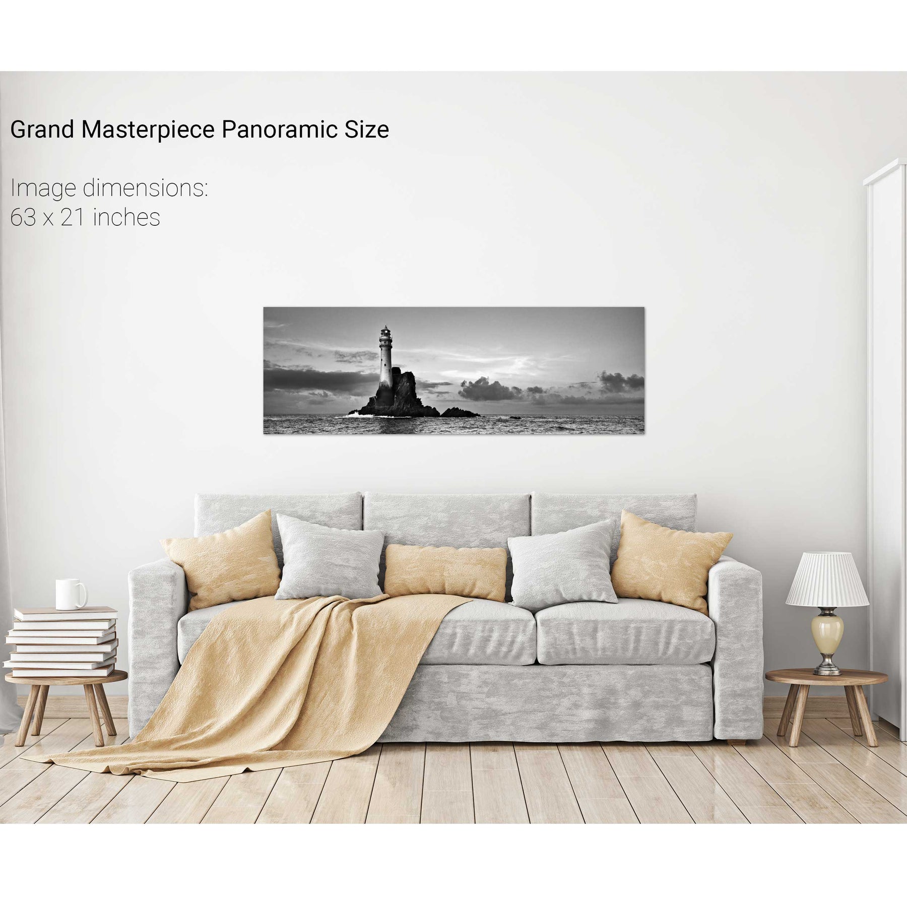
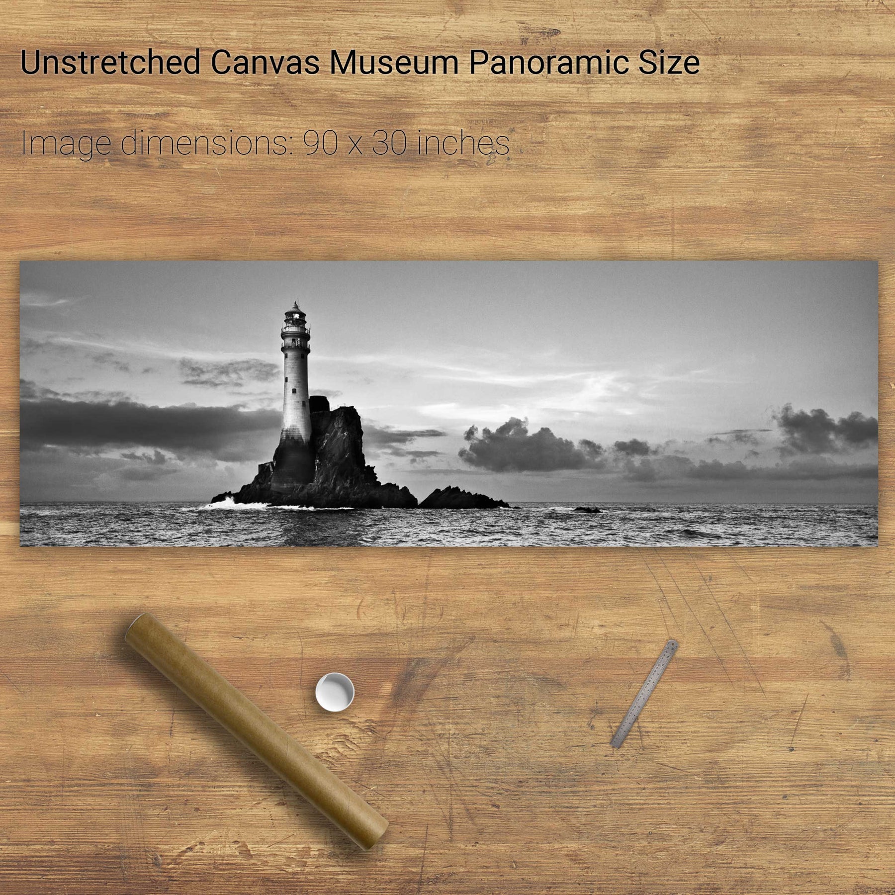
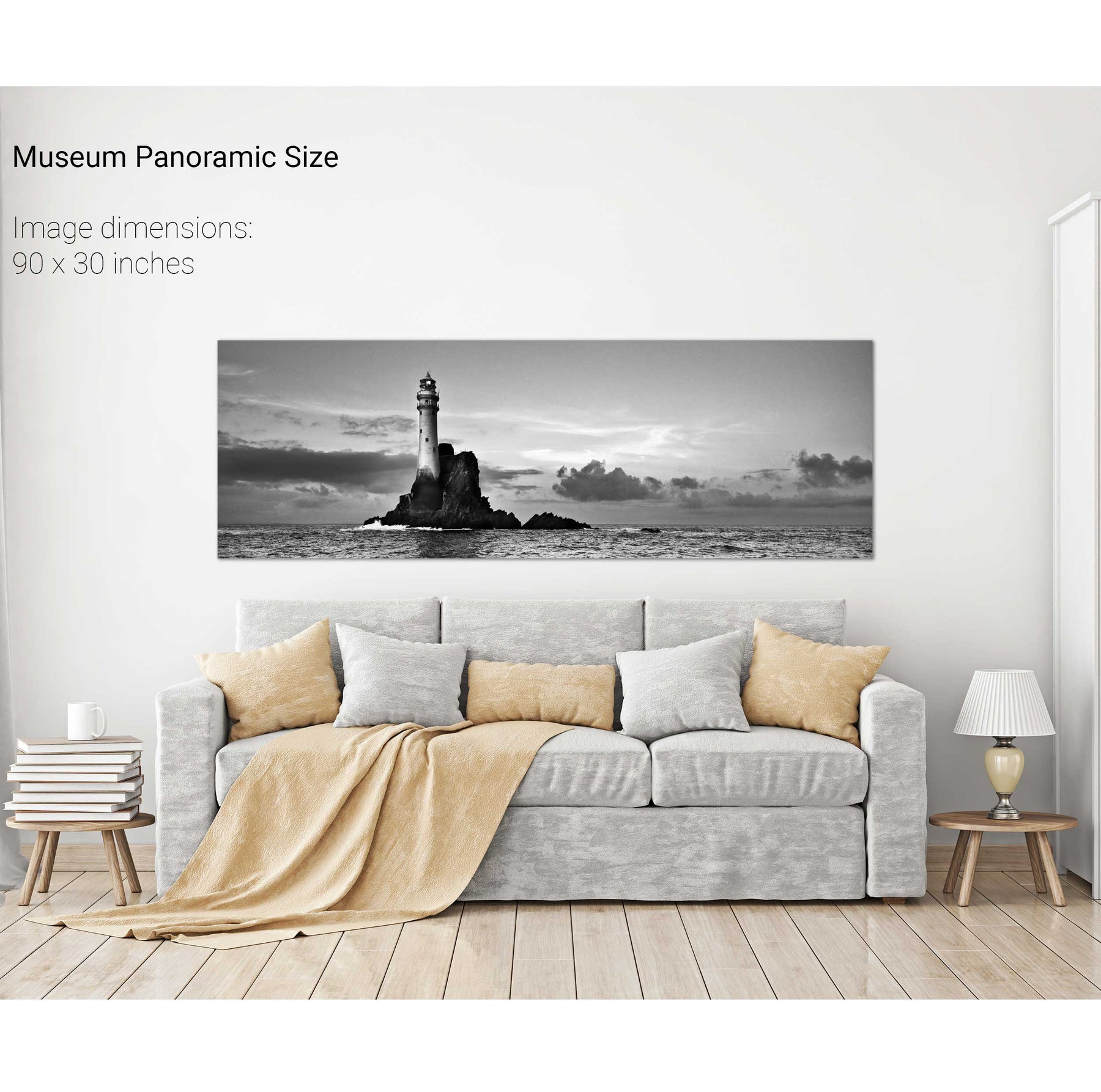
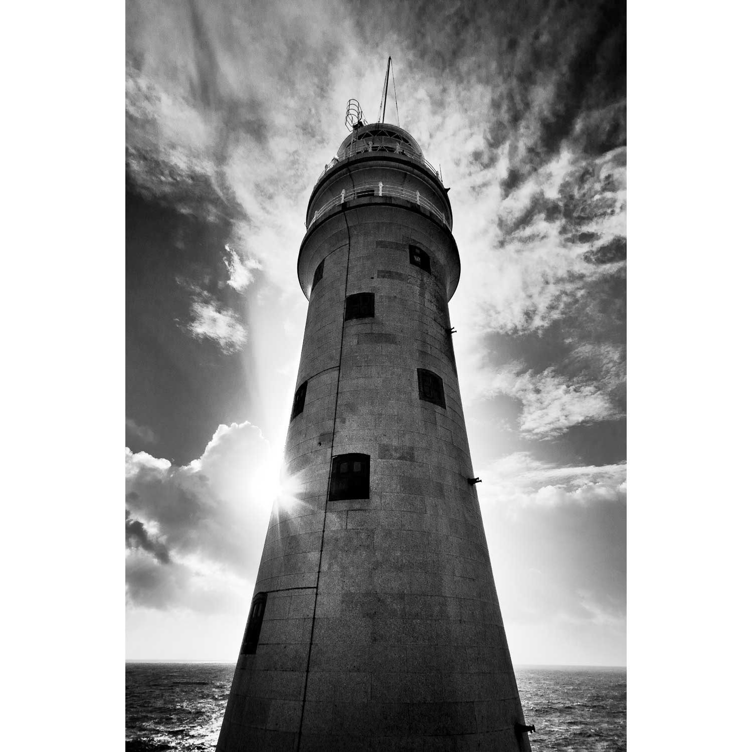
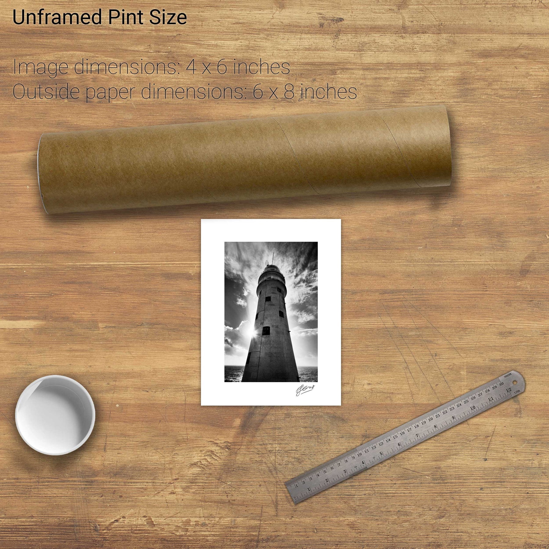
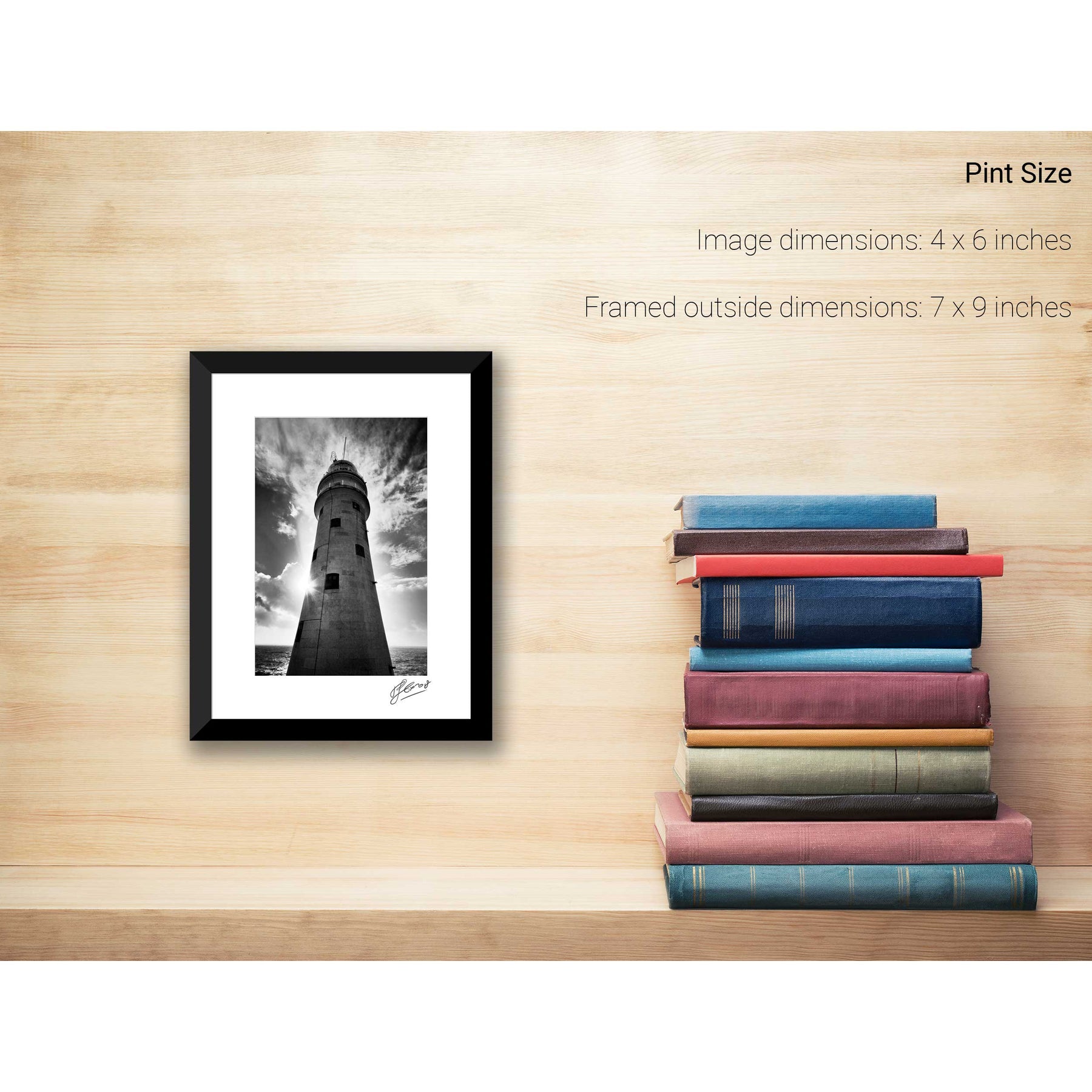
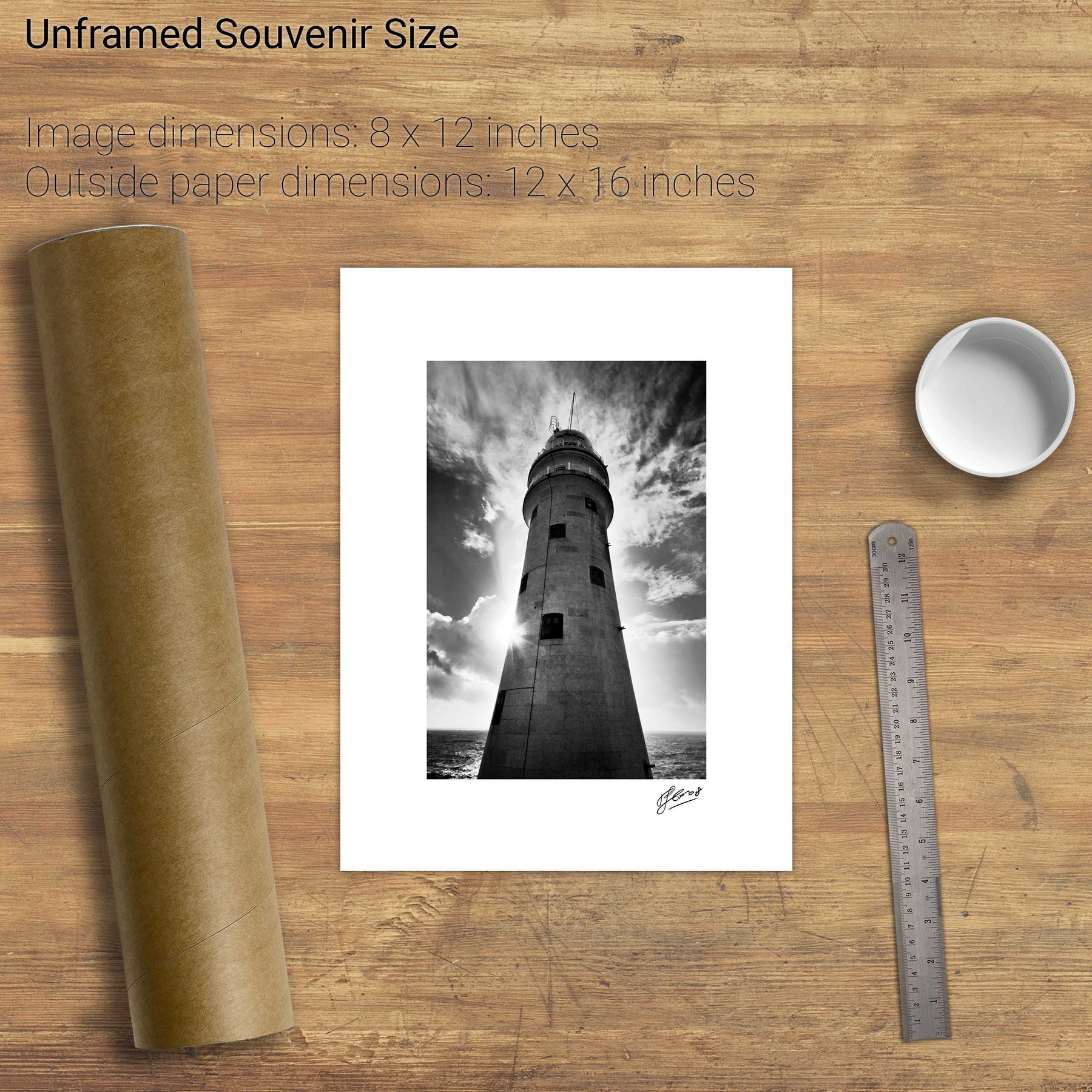
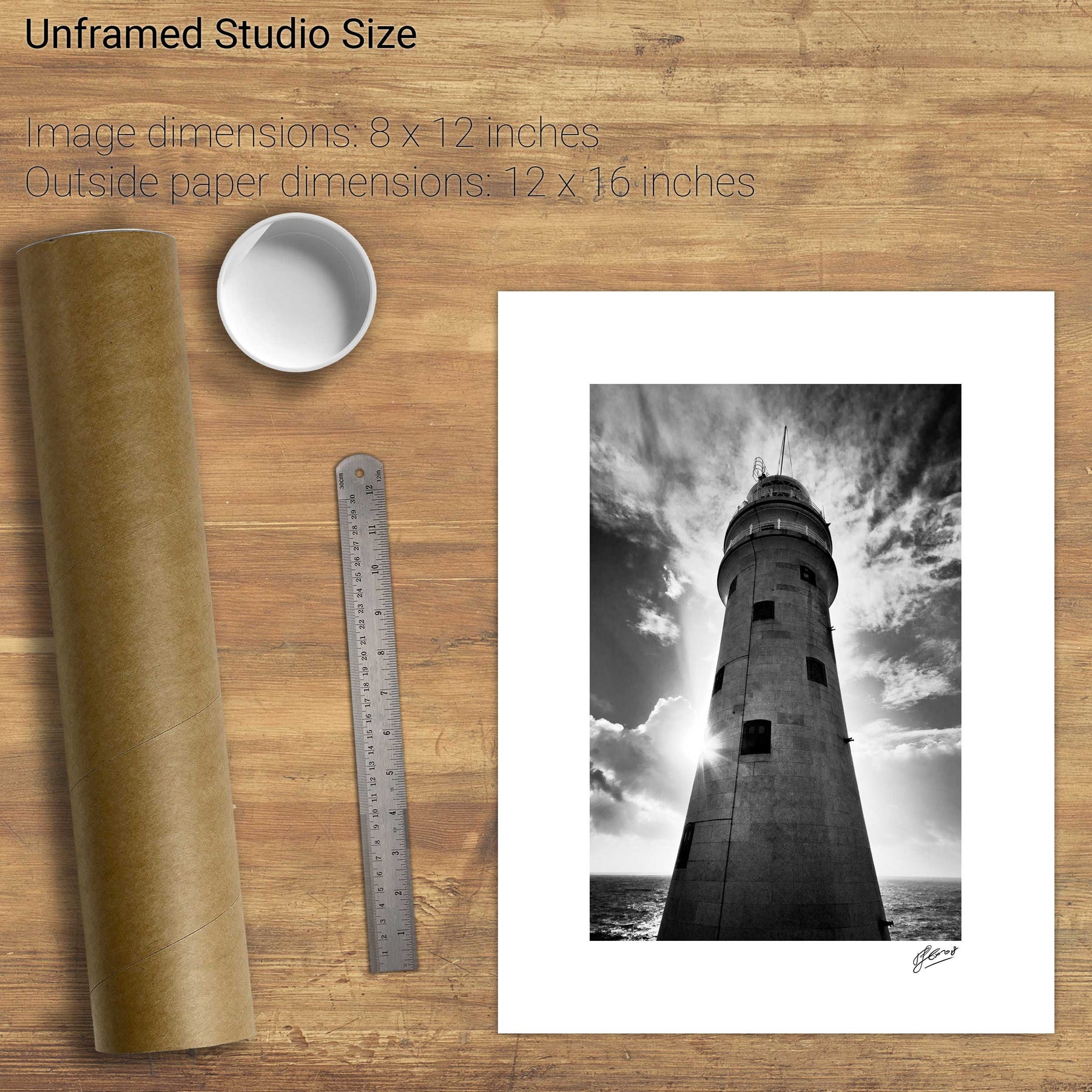
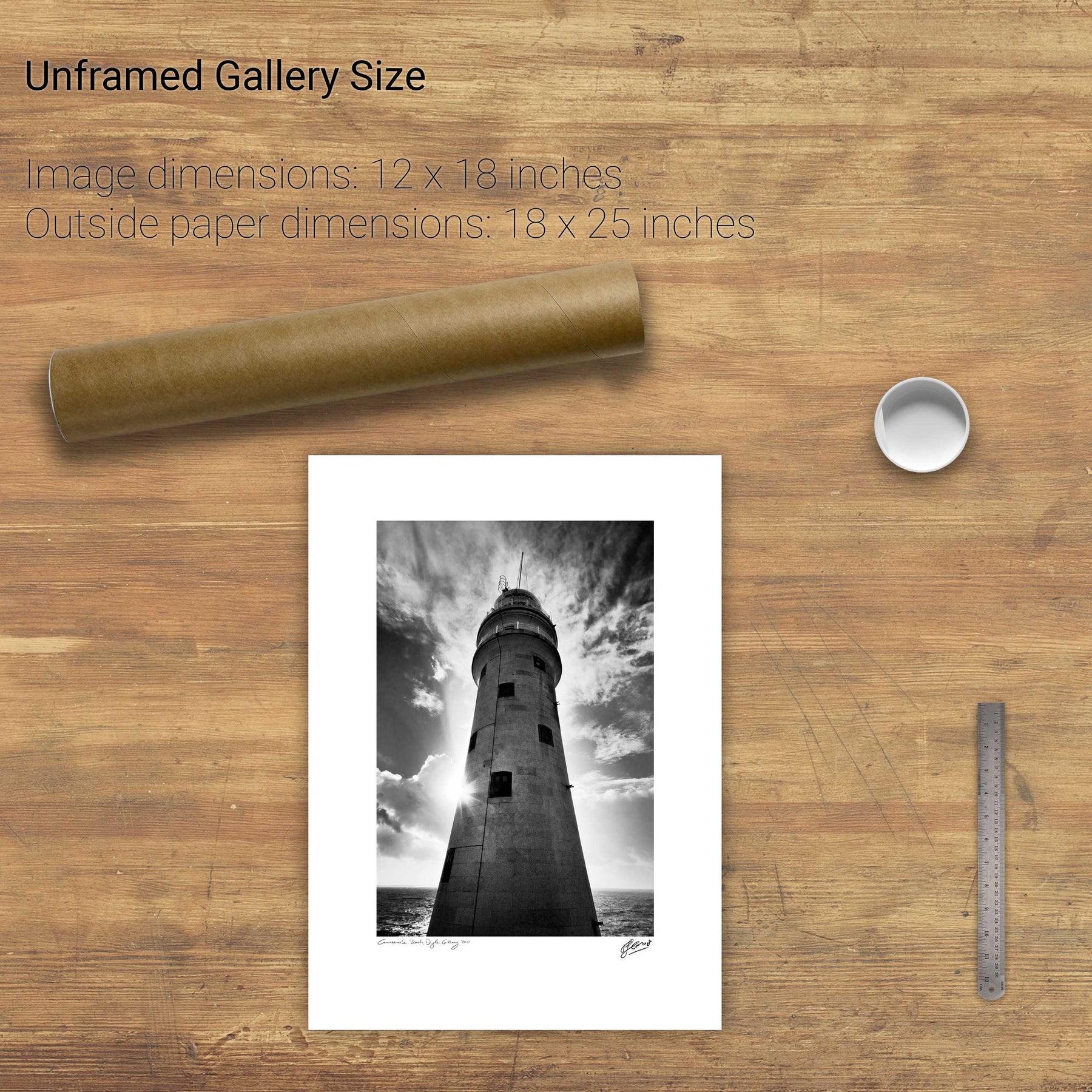
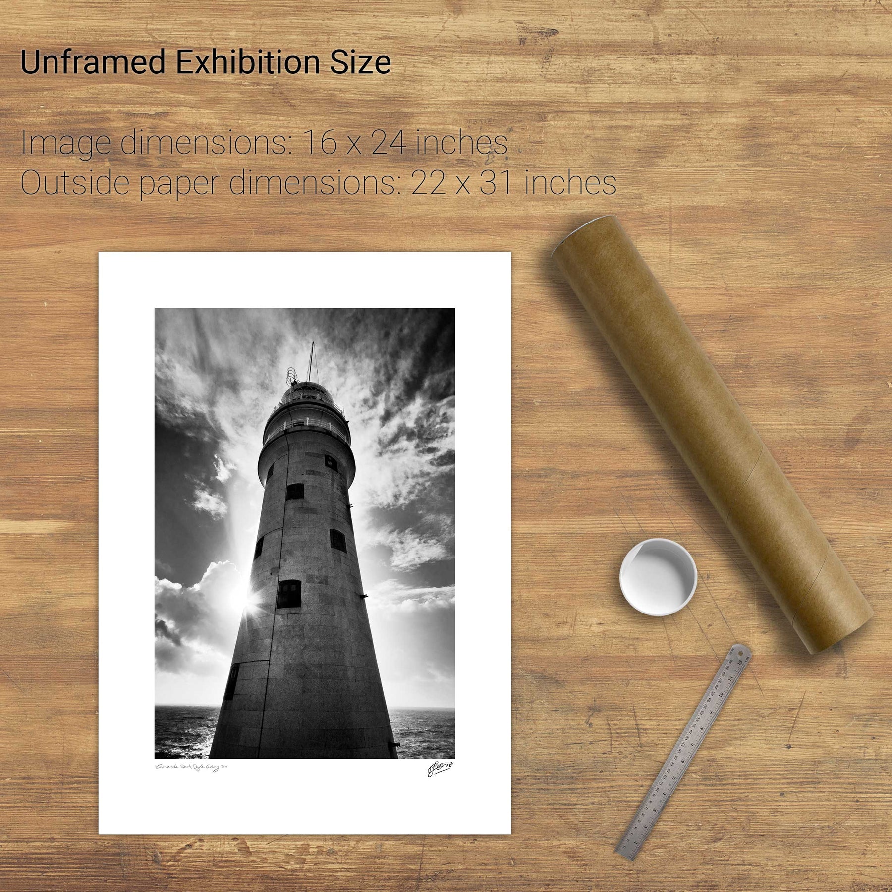
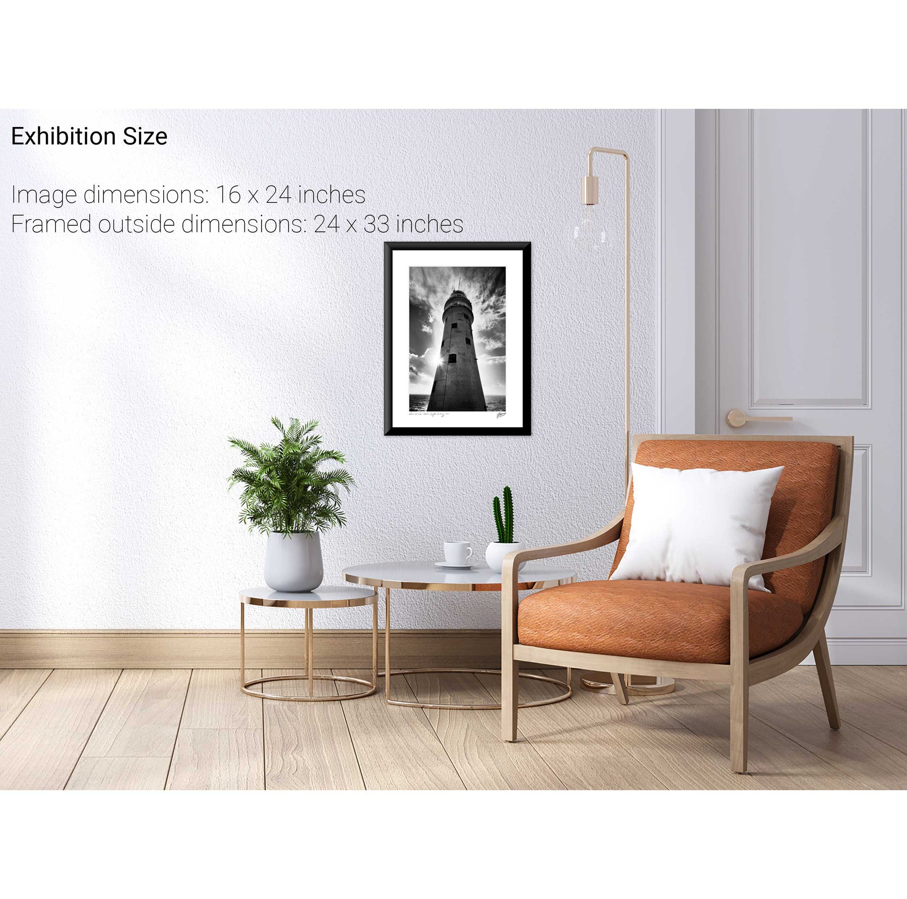
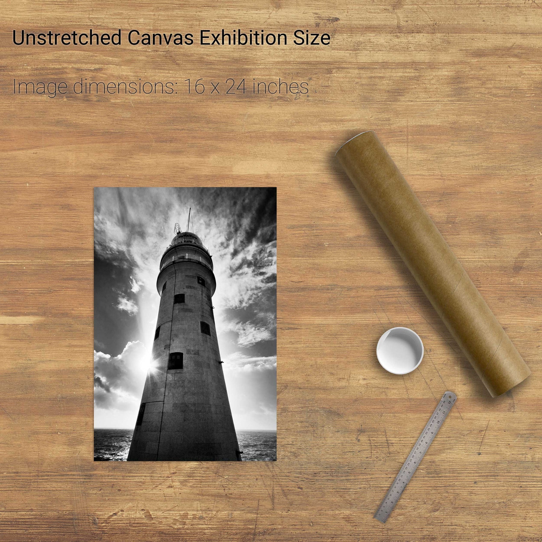
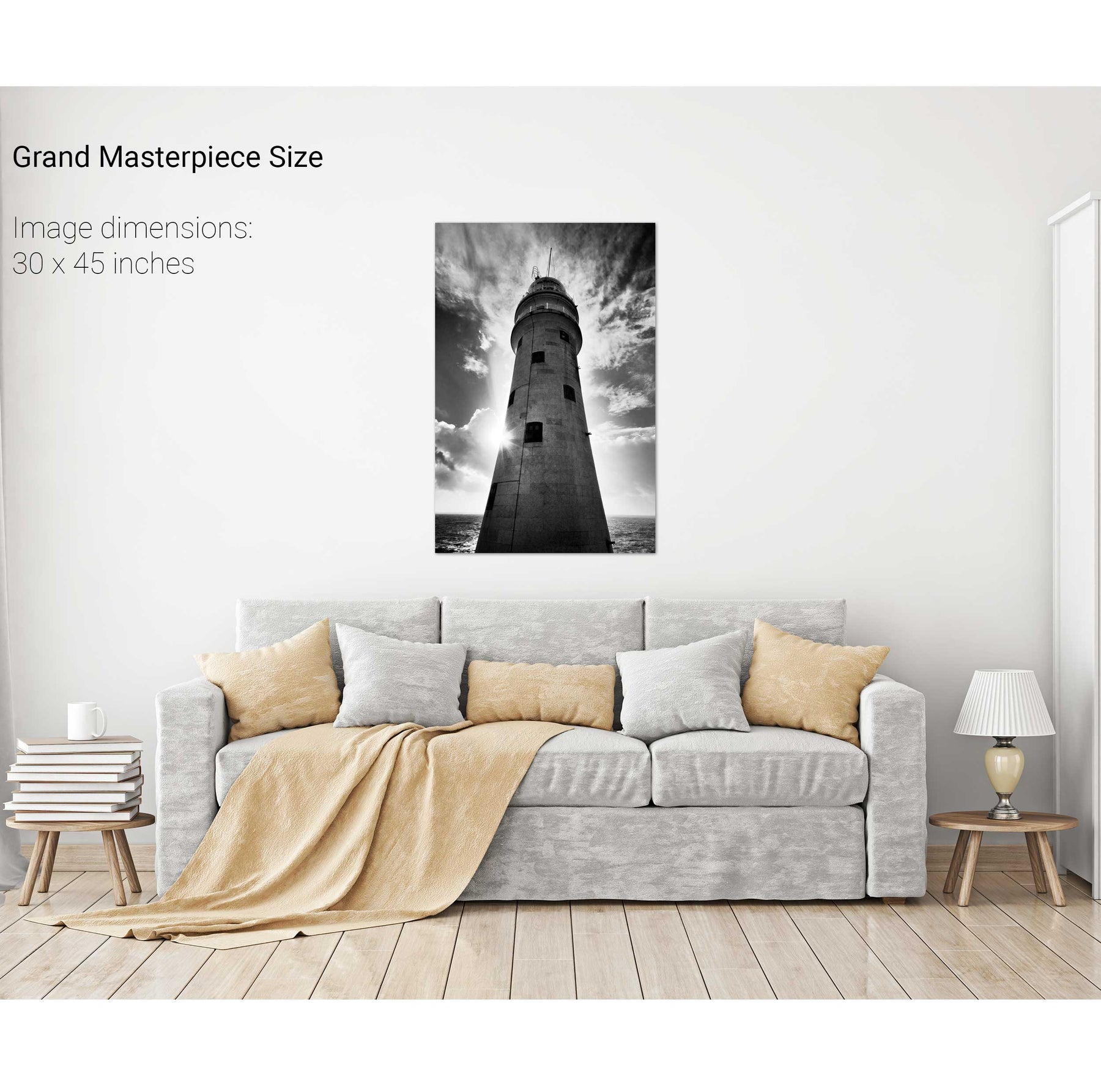
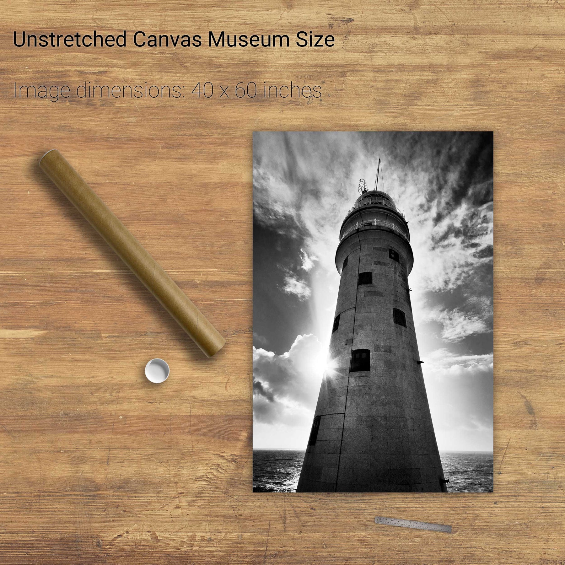
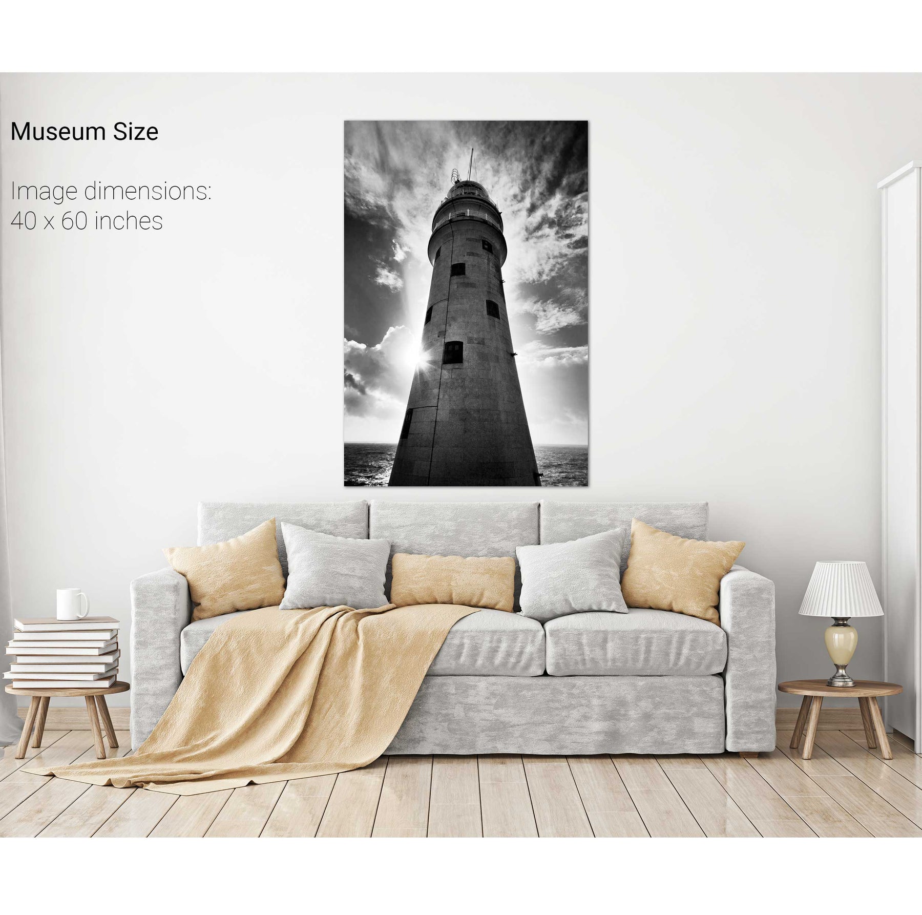
The Fastnet Lighthouse, Co. Cork
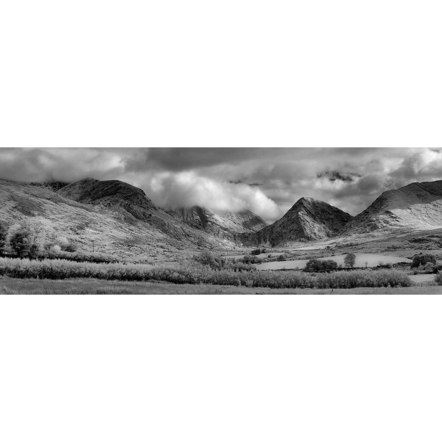
Glengesh Pass Panoramic, Co. Donegal
Glengesh Pass, Co. Donegal
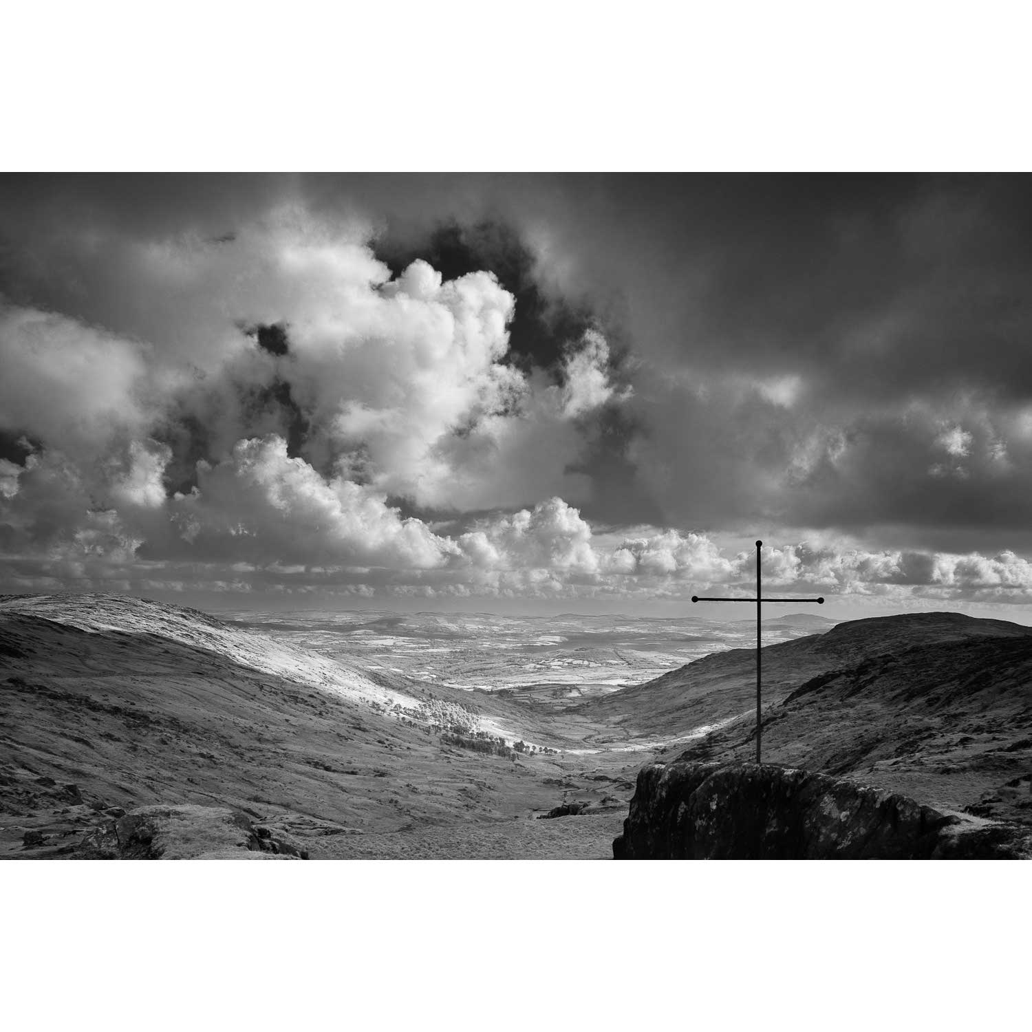
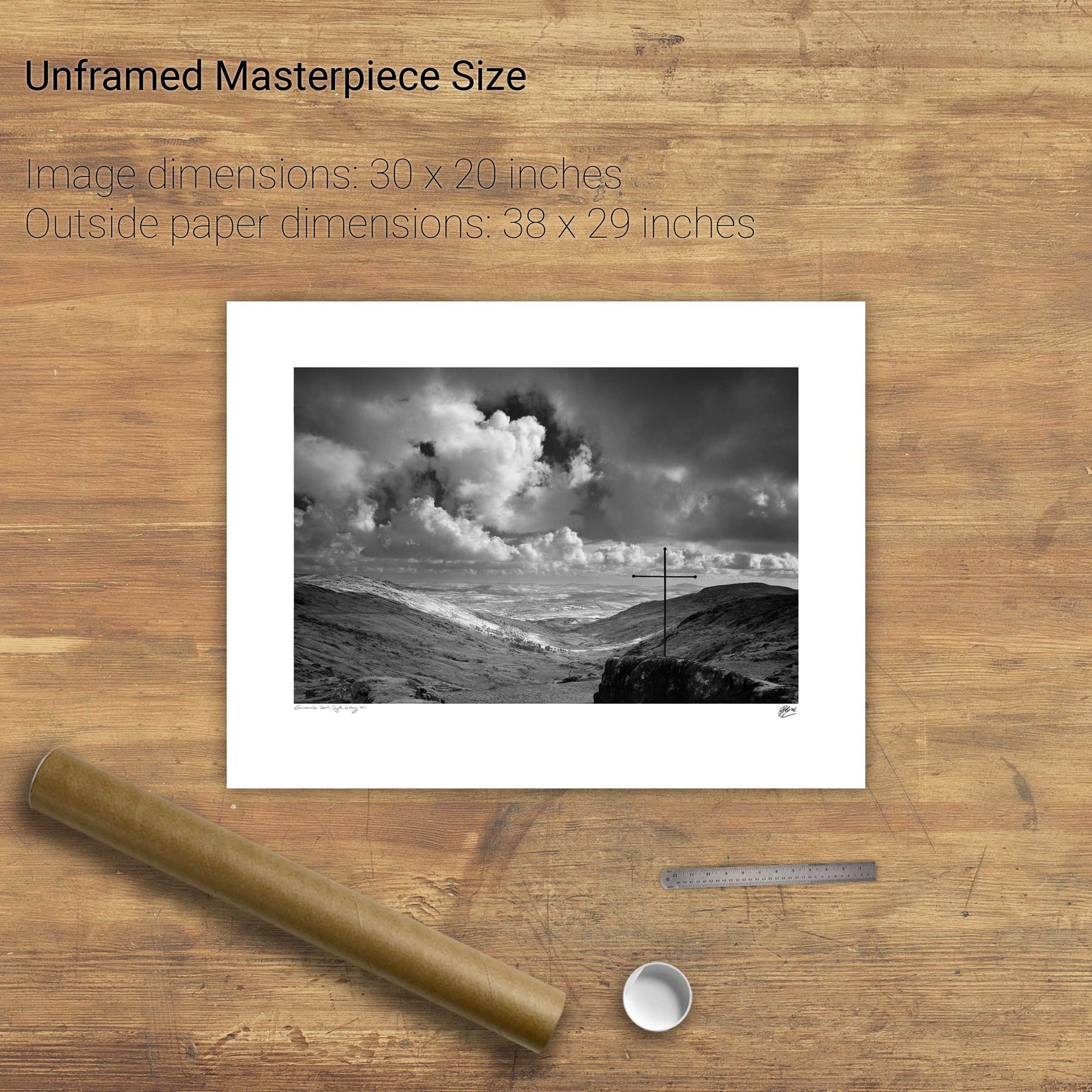
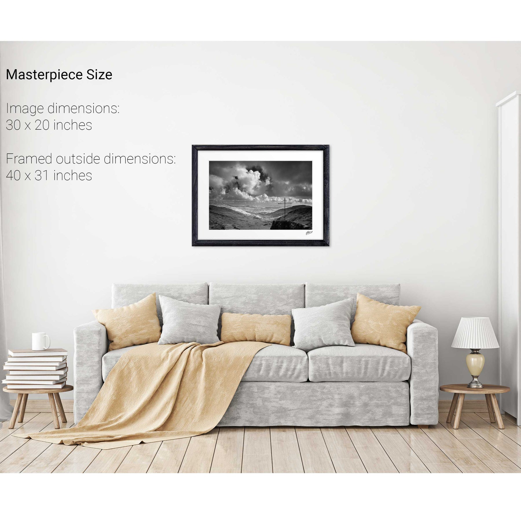
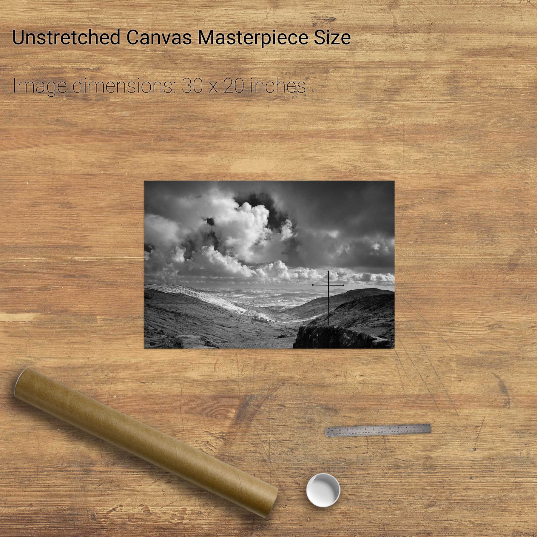
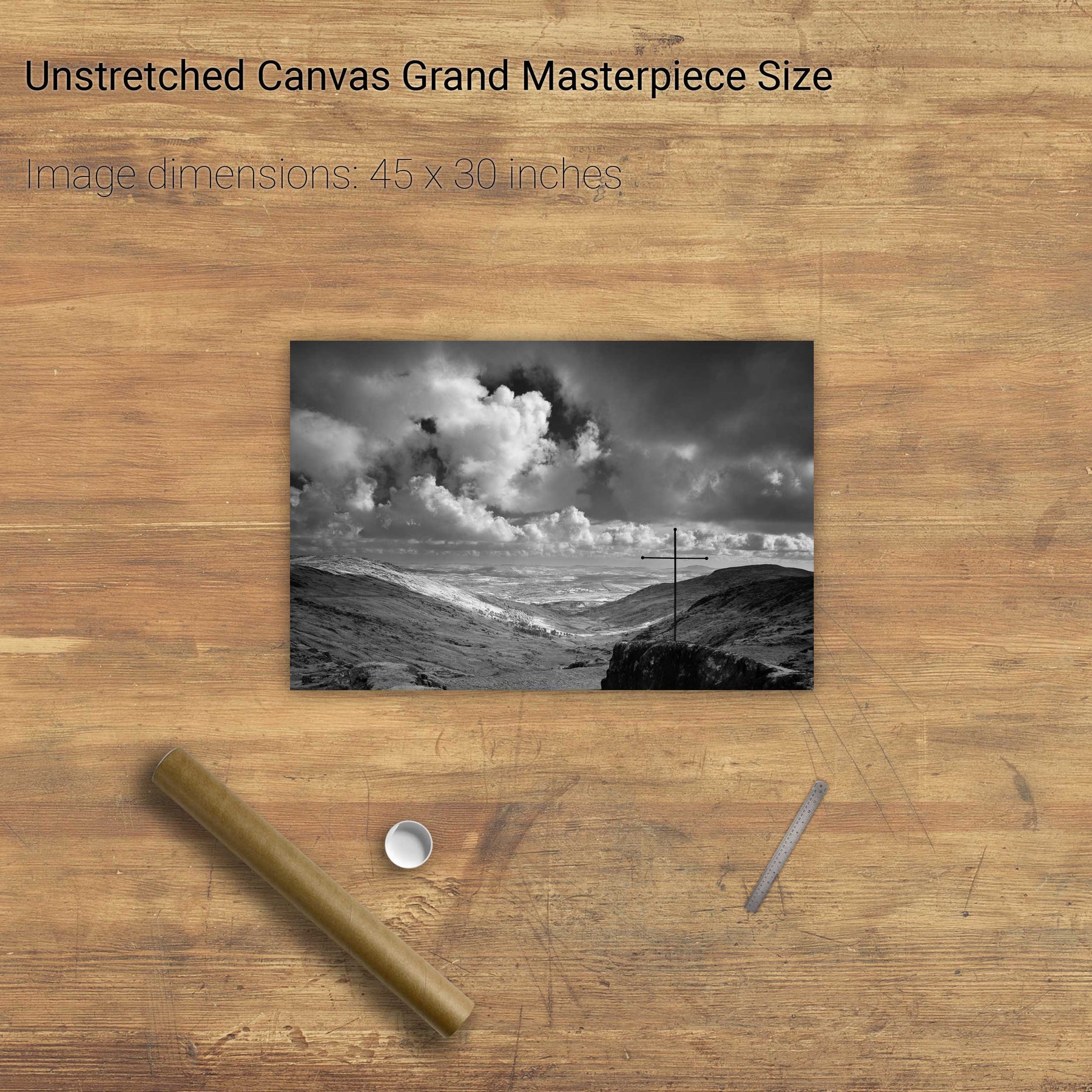
The Priest's Leap, Co. Cork
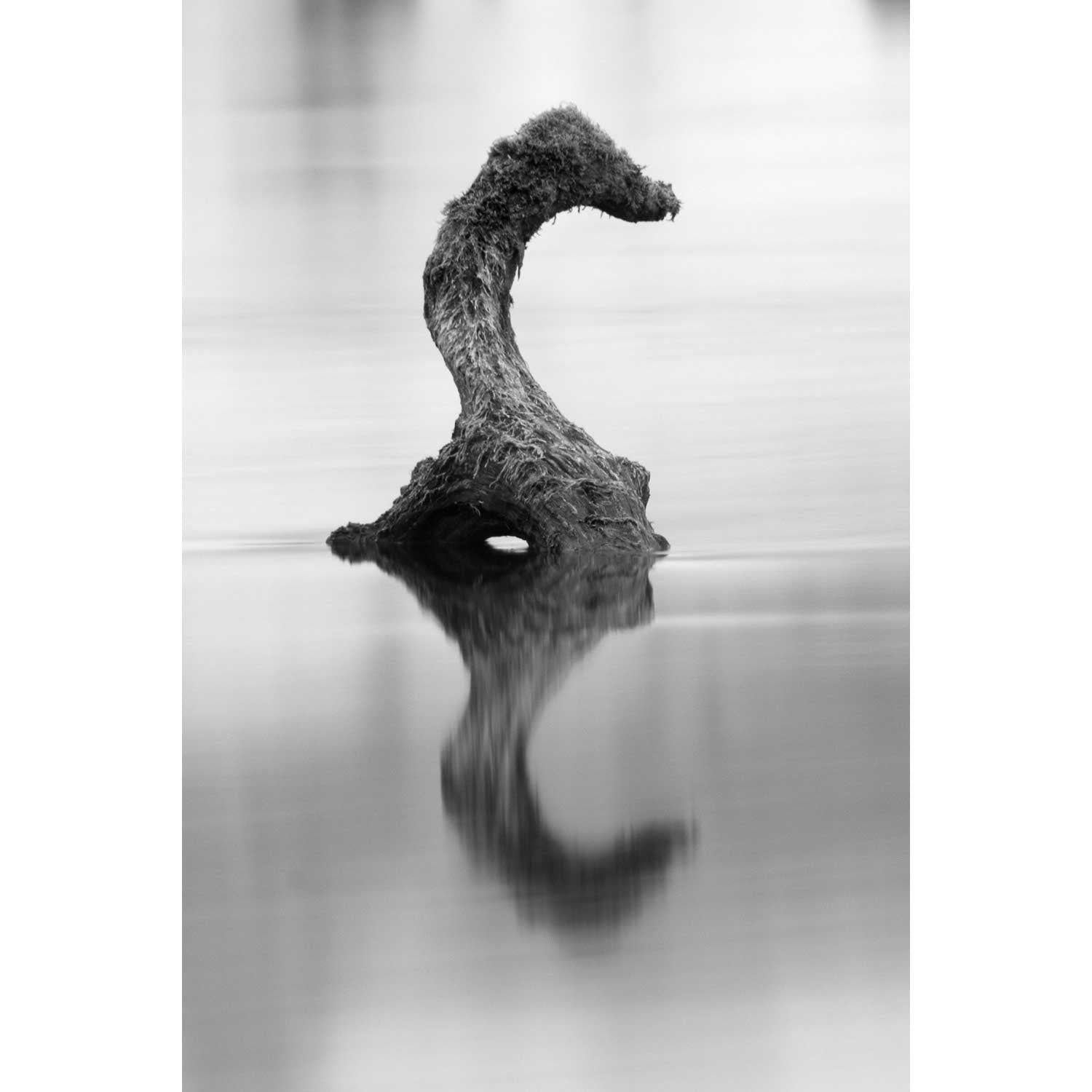
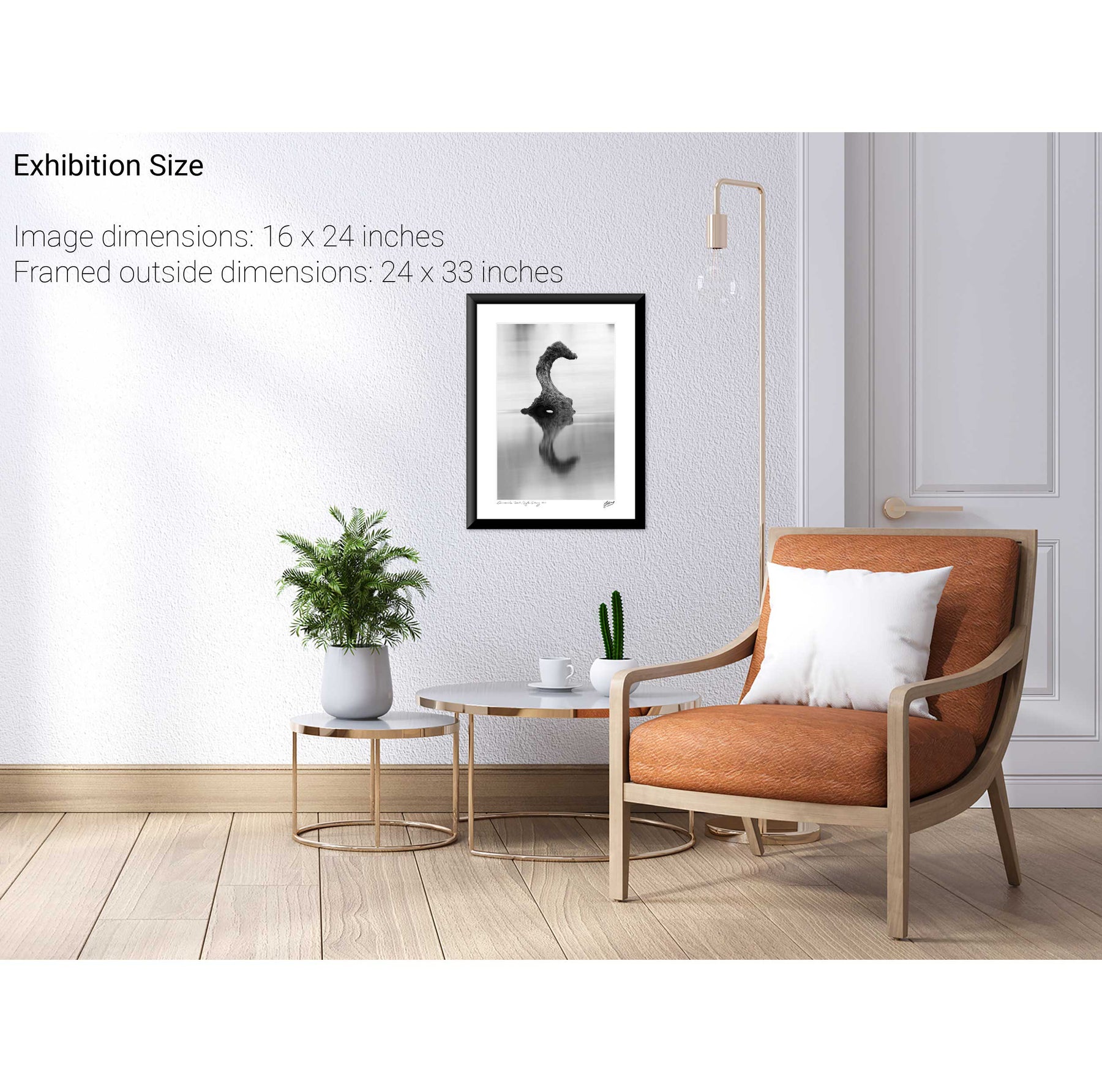
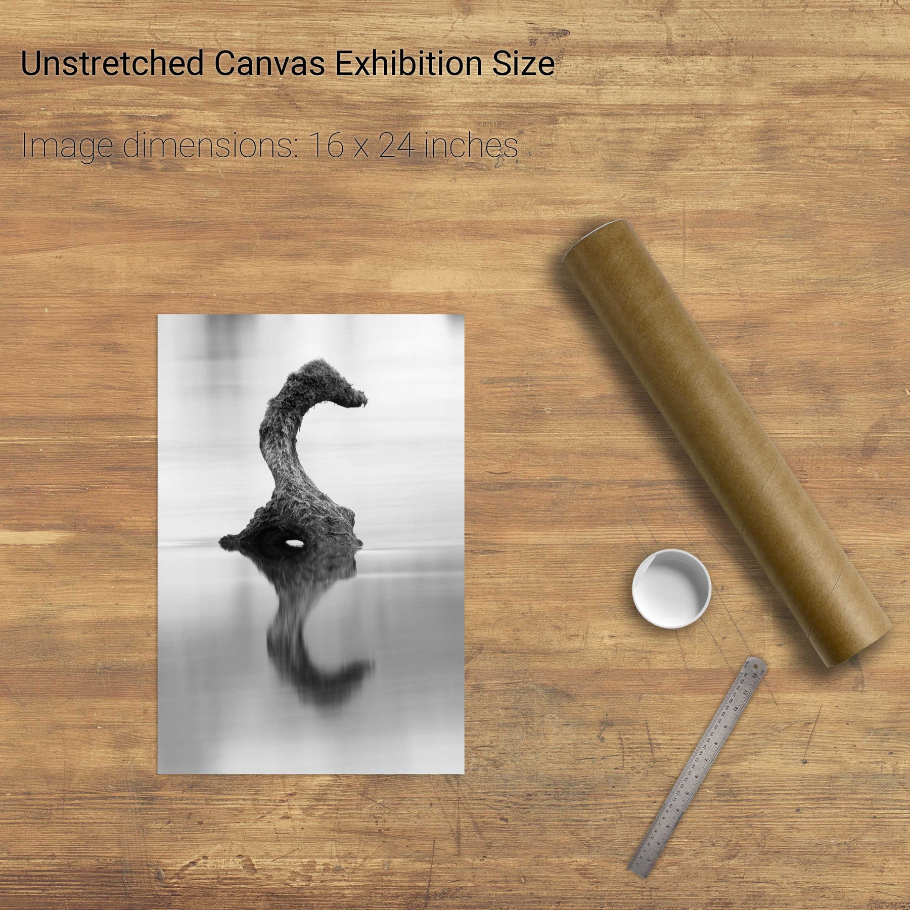
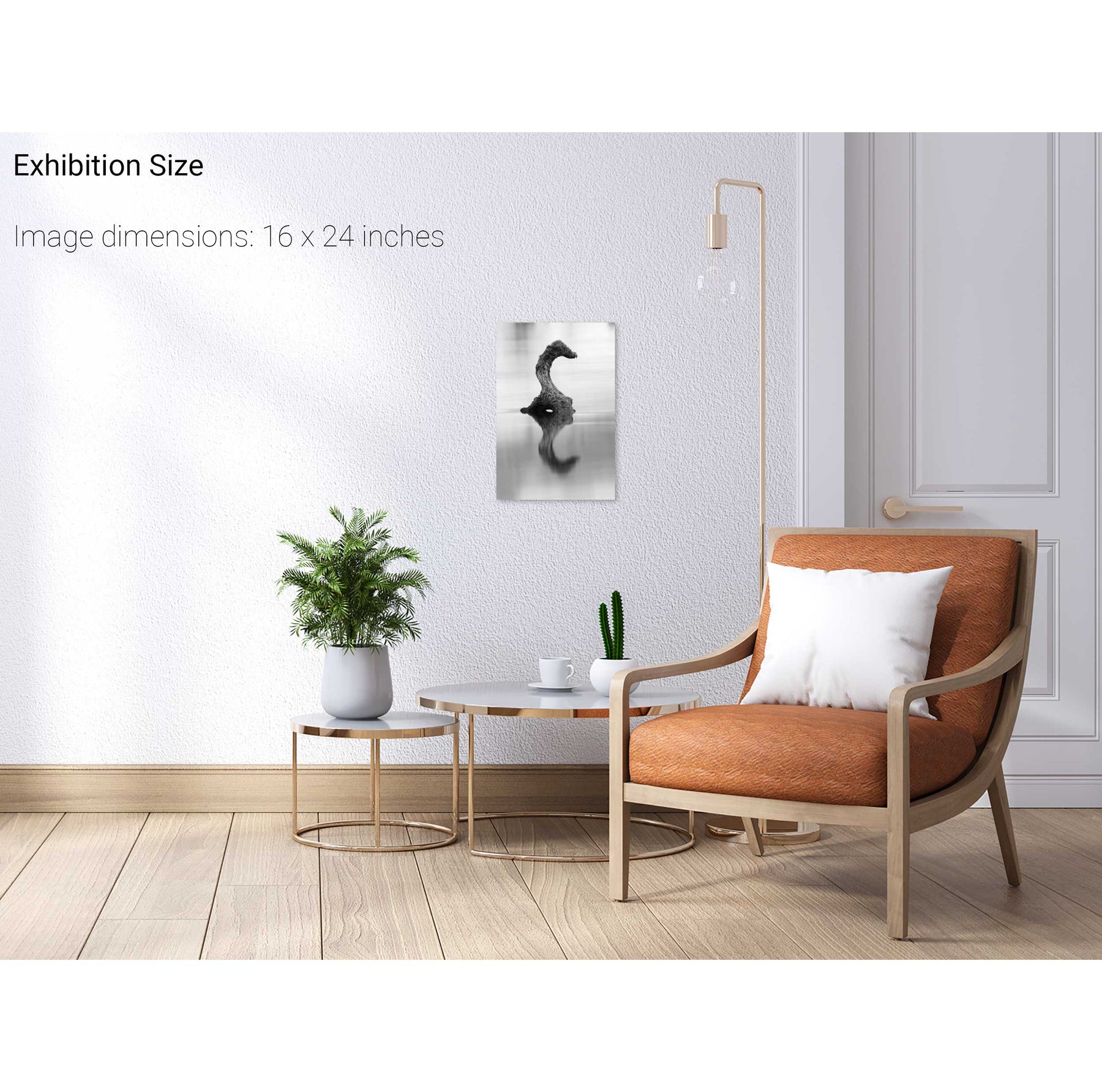
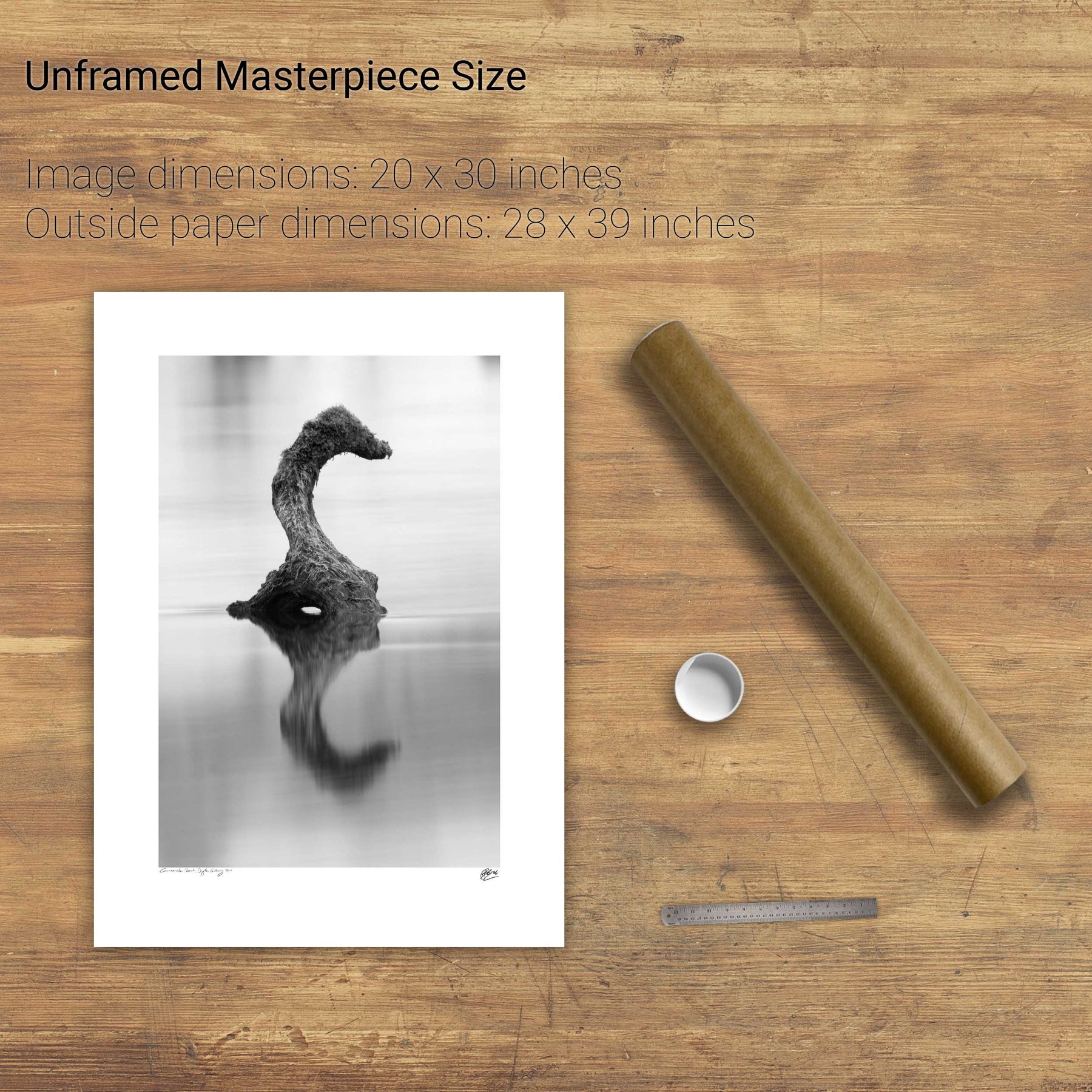
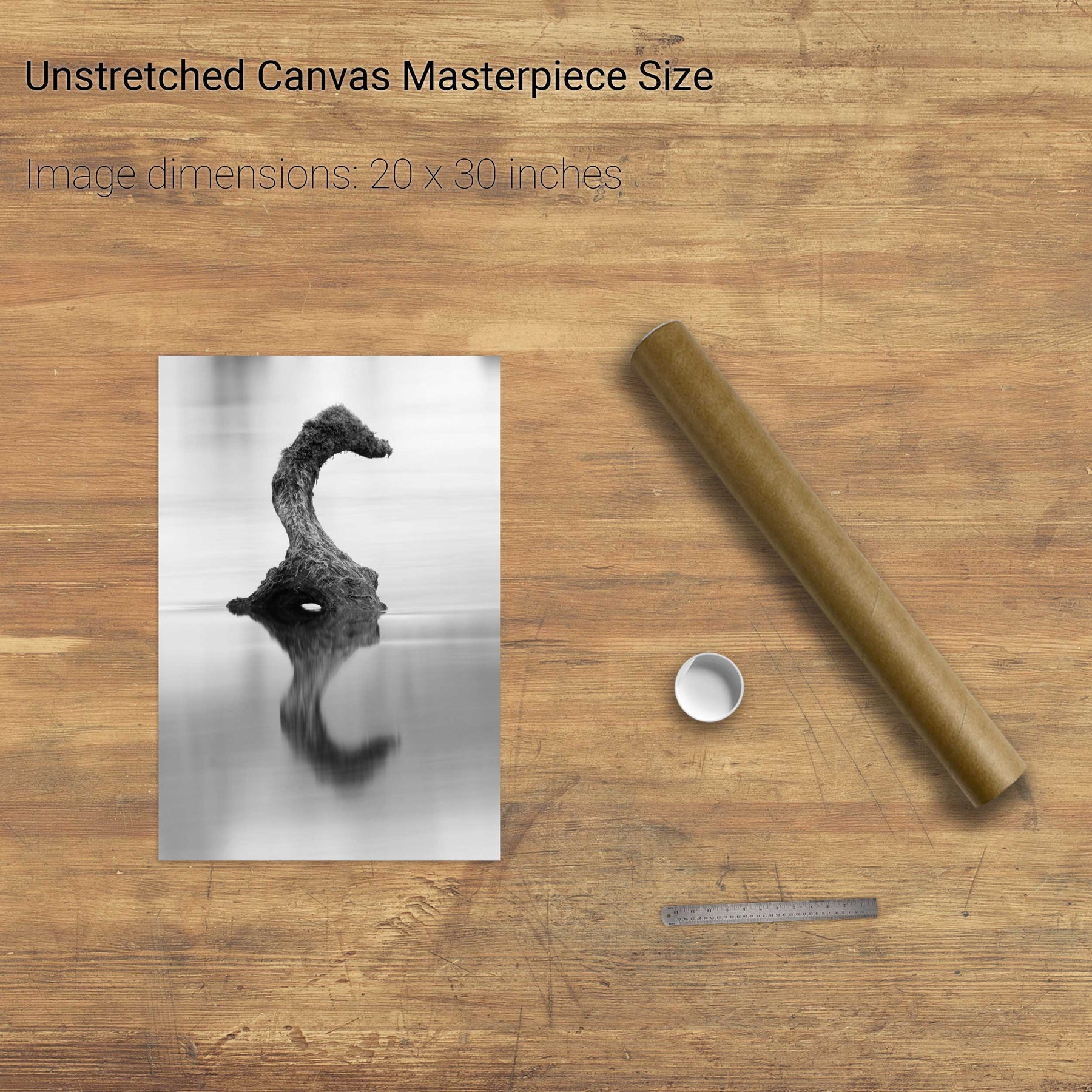
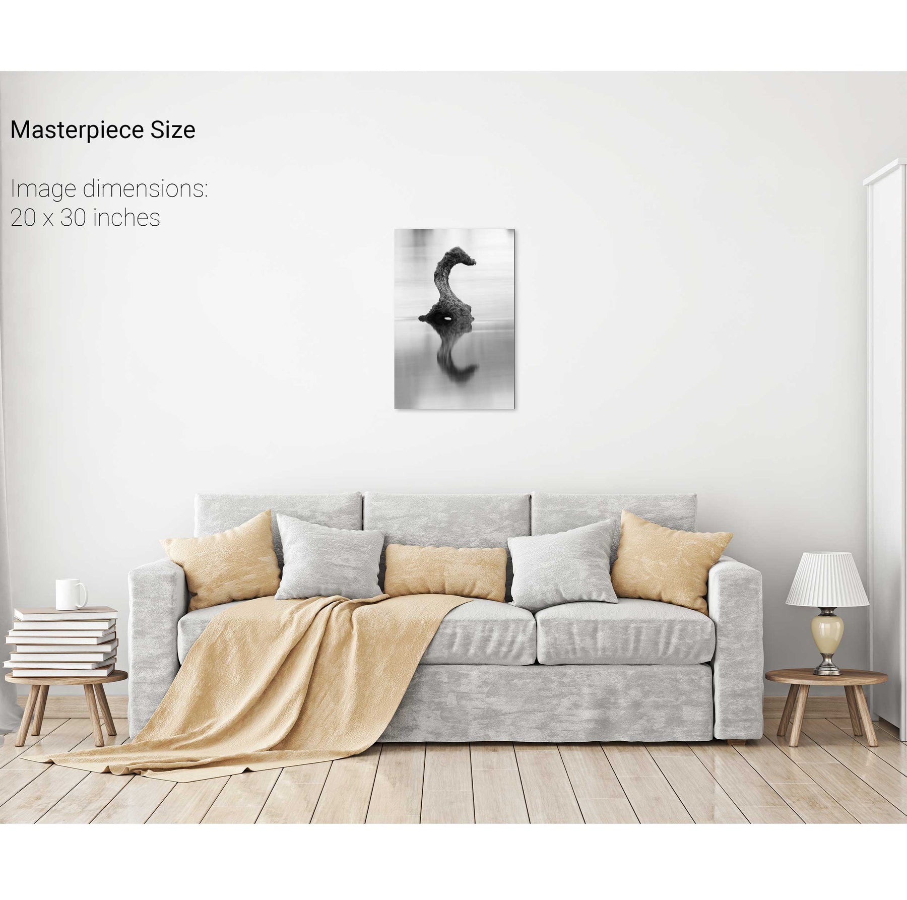
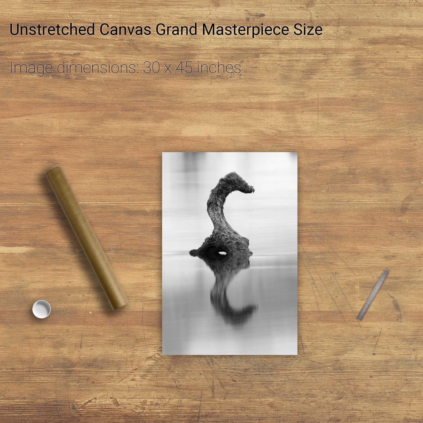
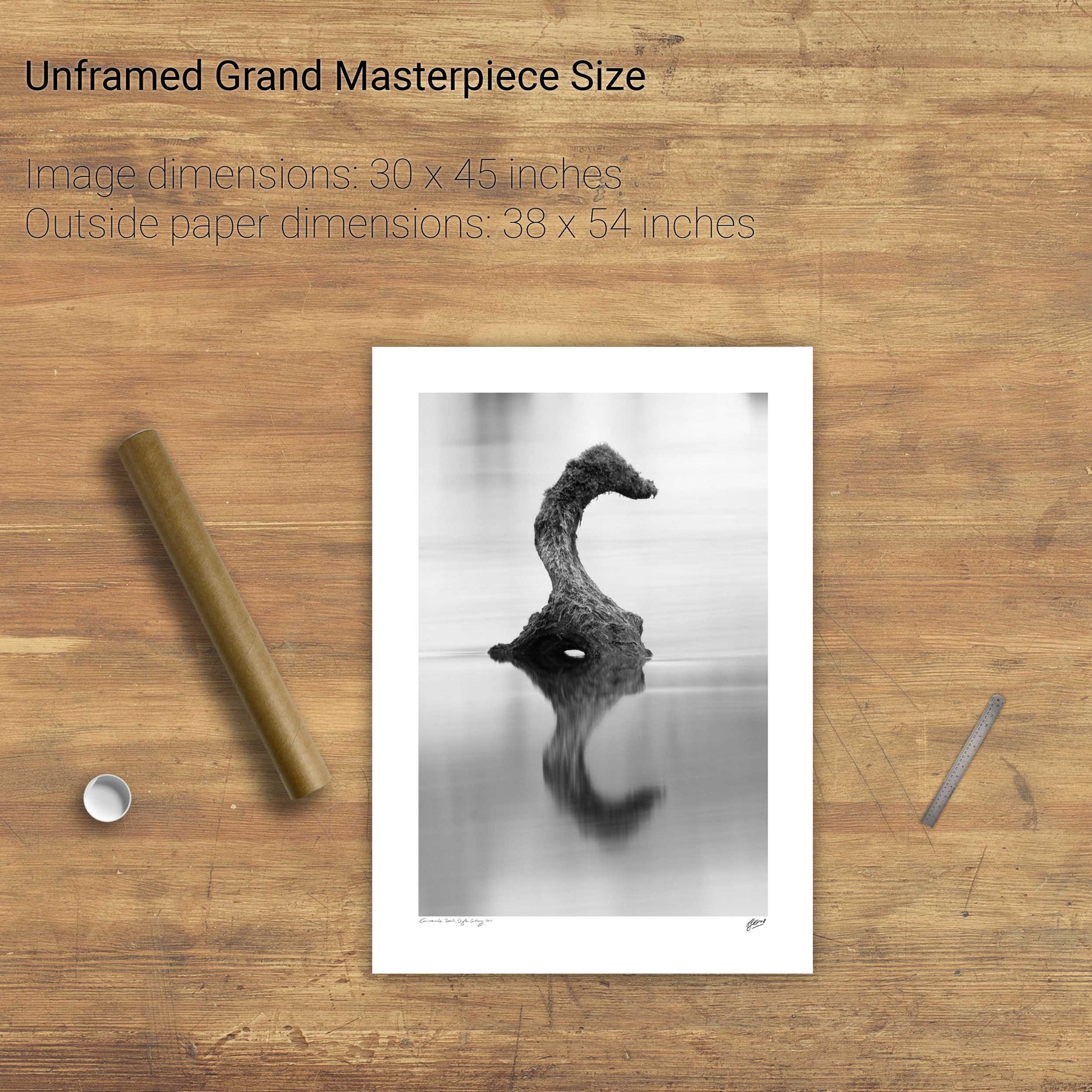
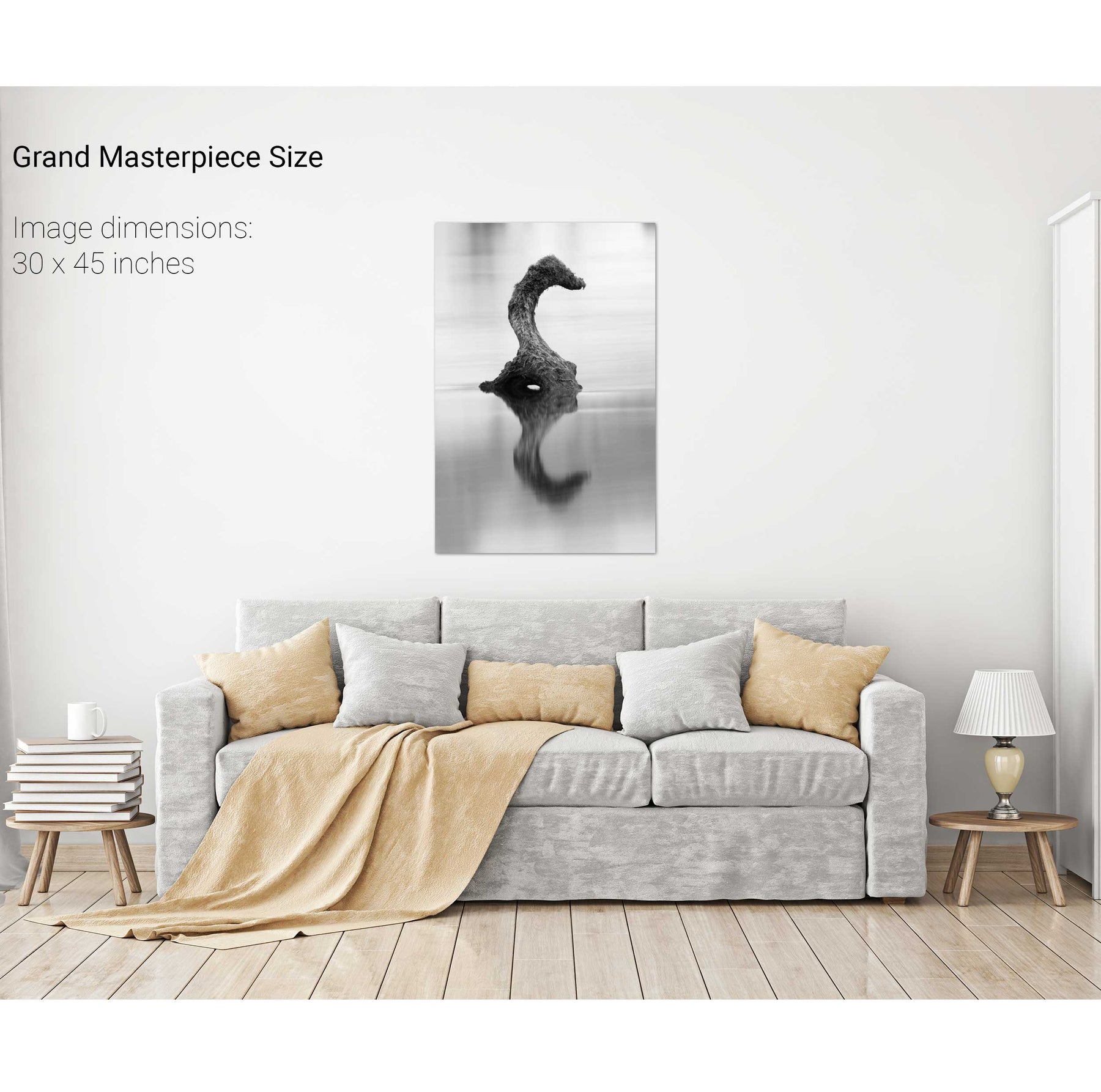
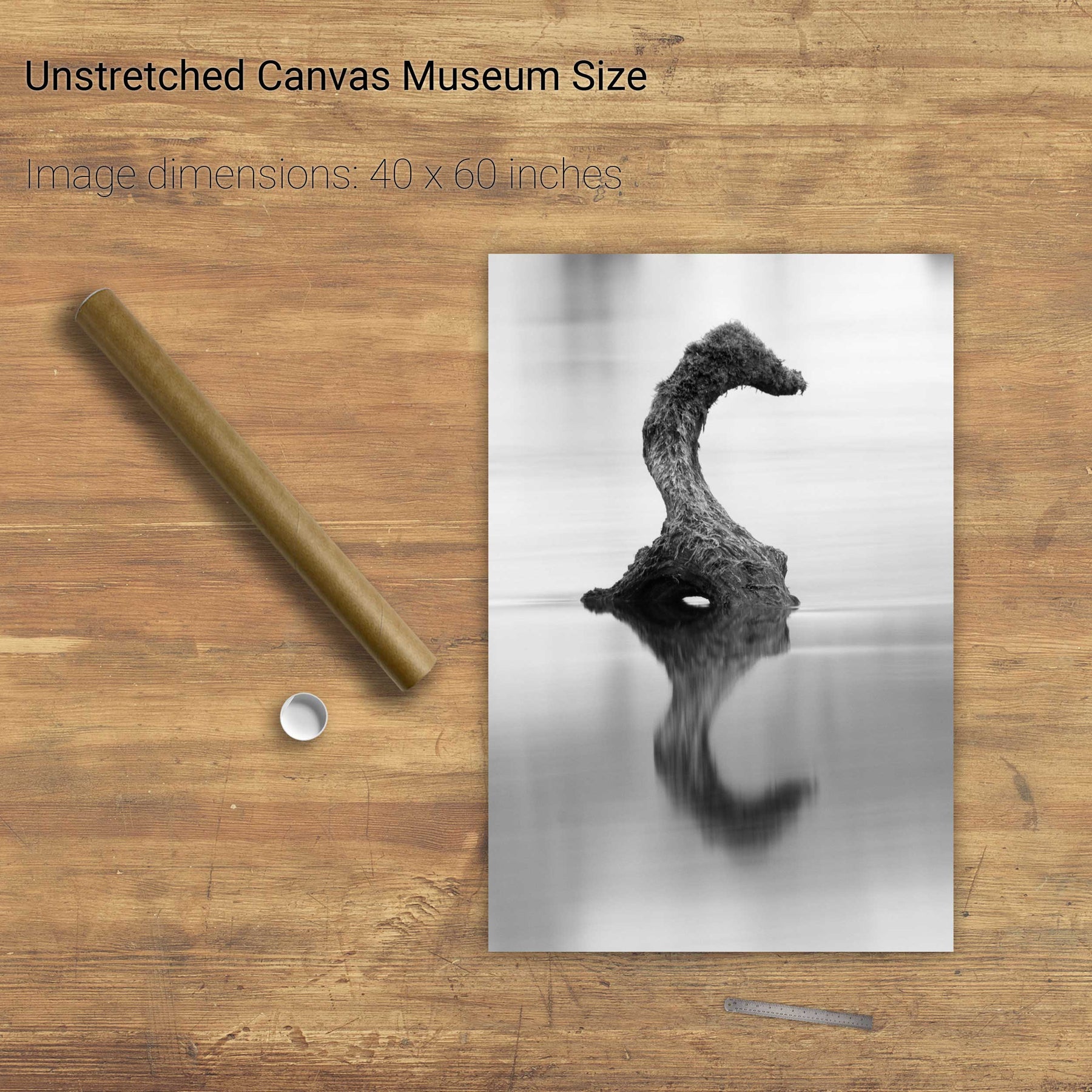
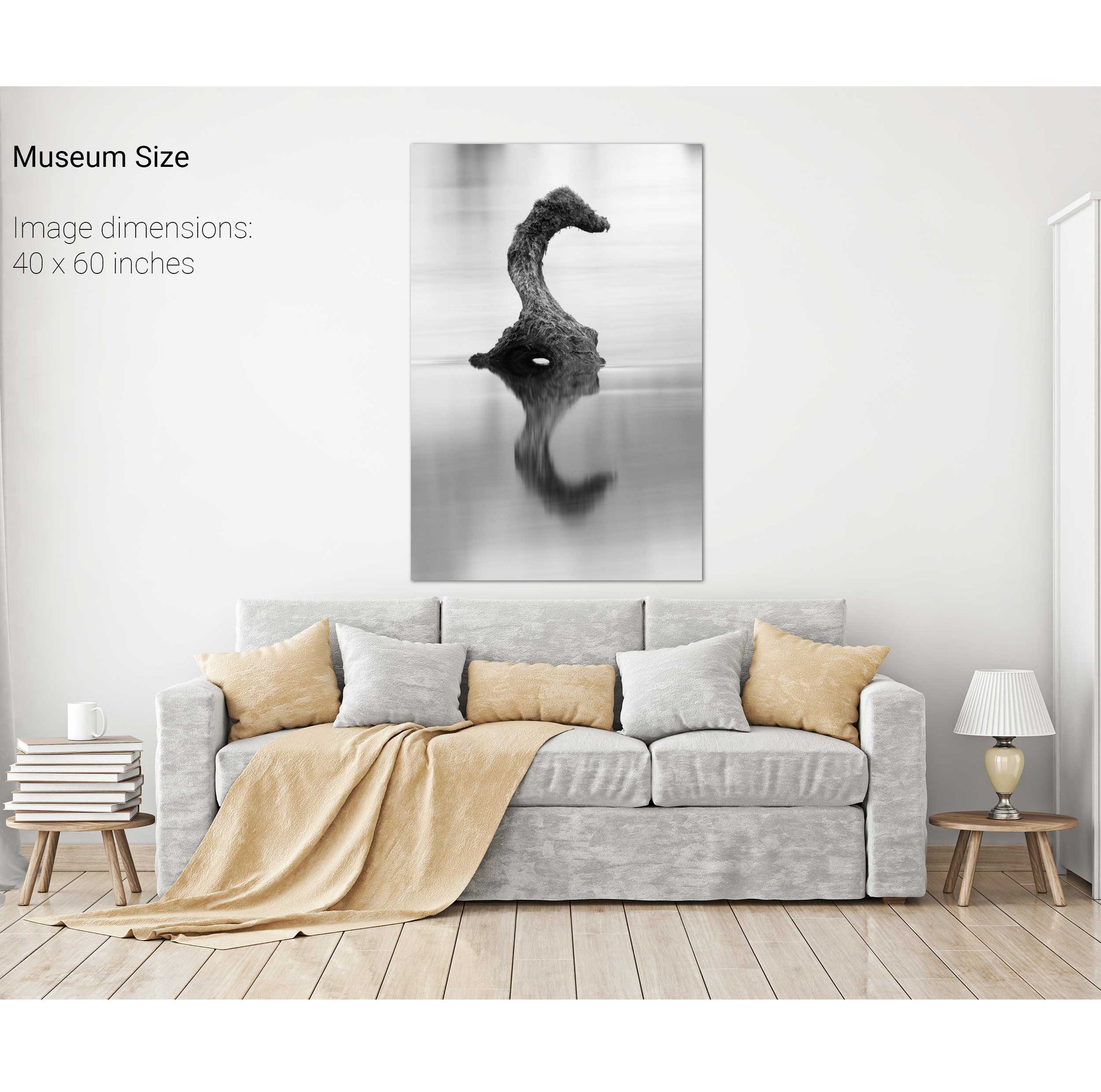
Gearagh Waterhorse, Co. Cork
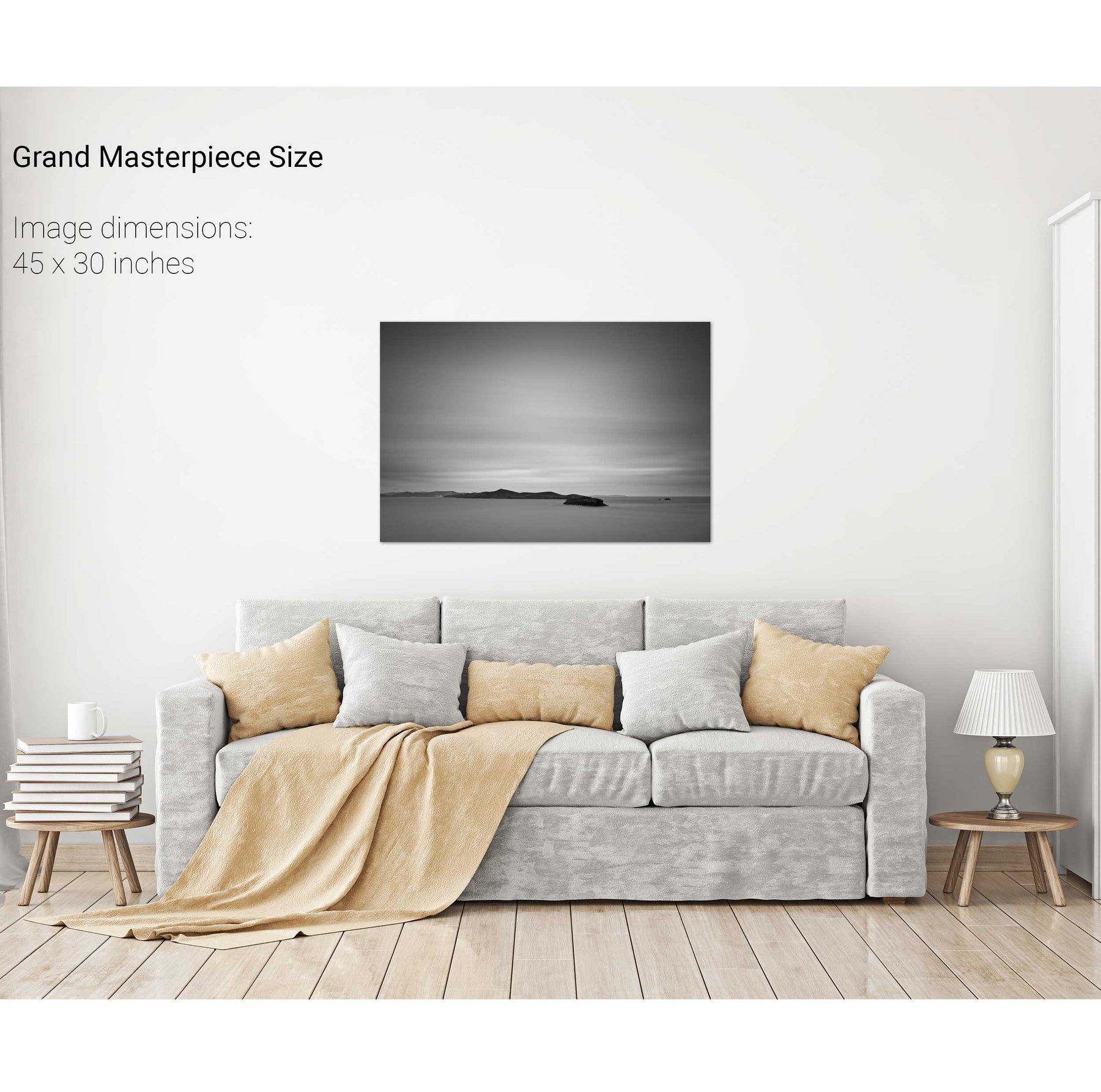
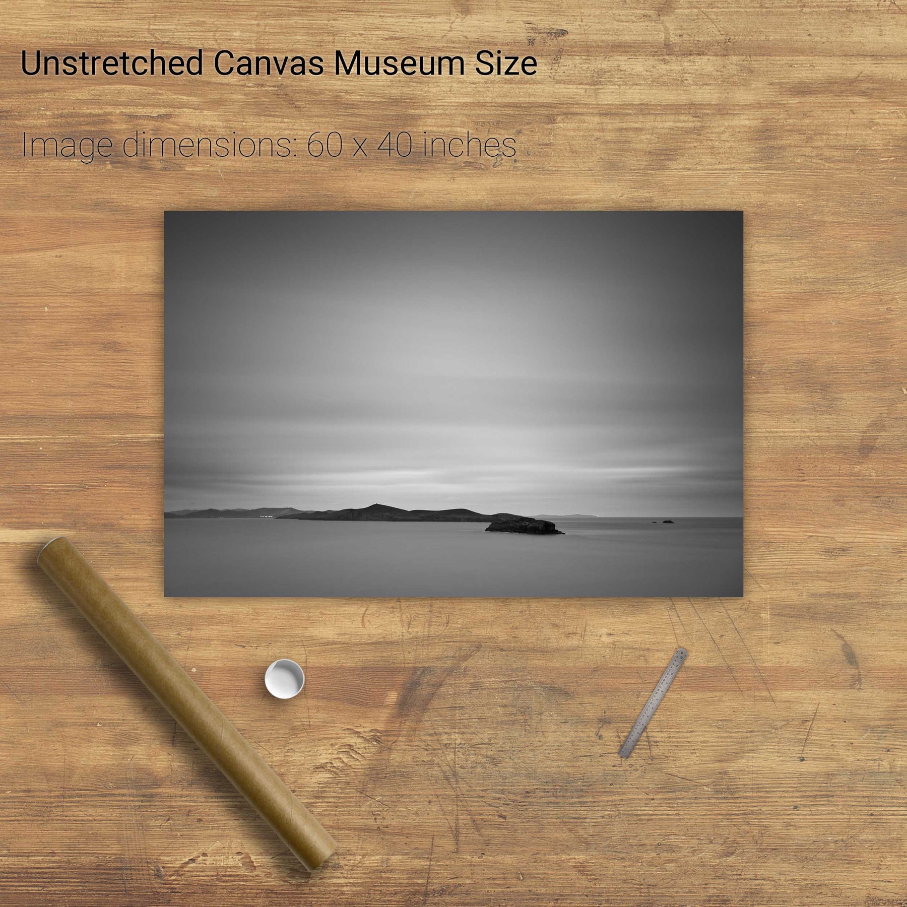
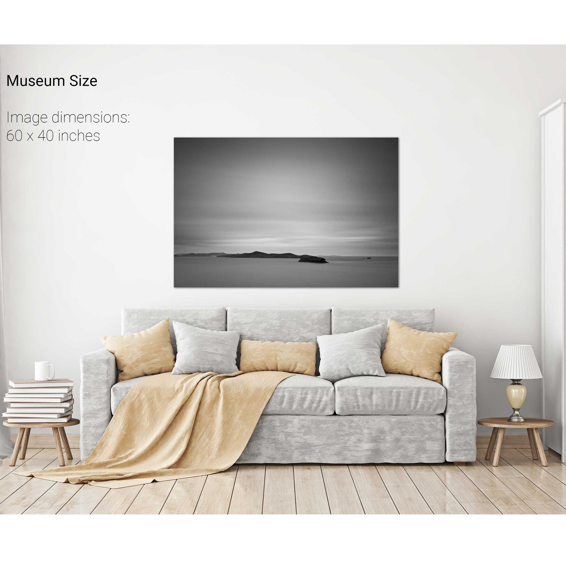
Dursey Island, the Cow and the Calf, Co. Cork
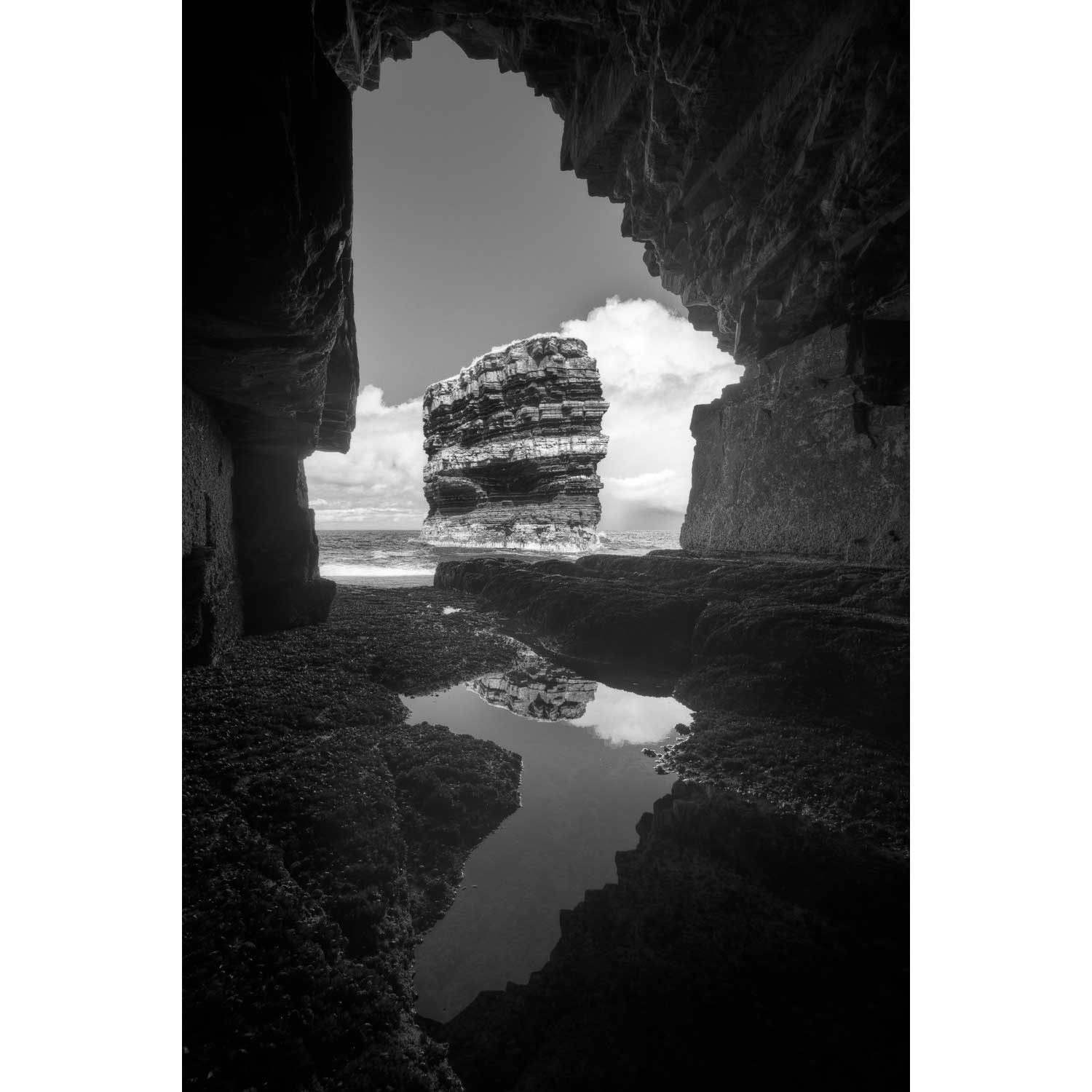
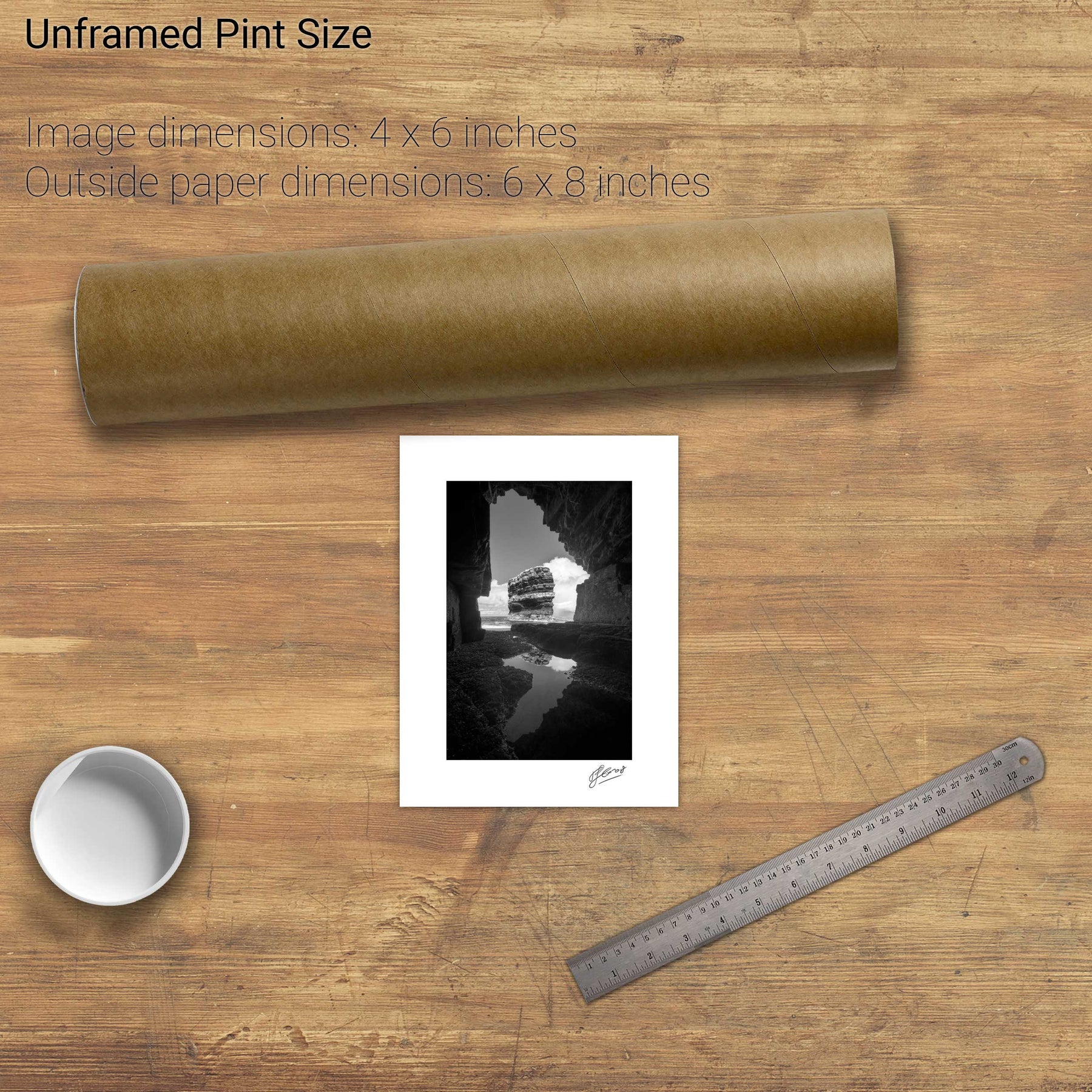
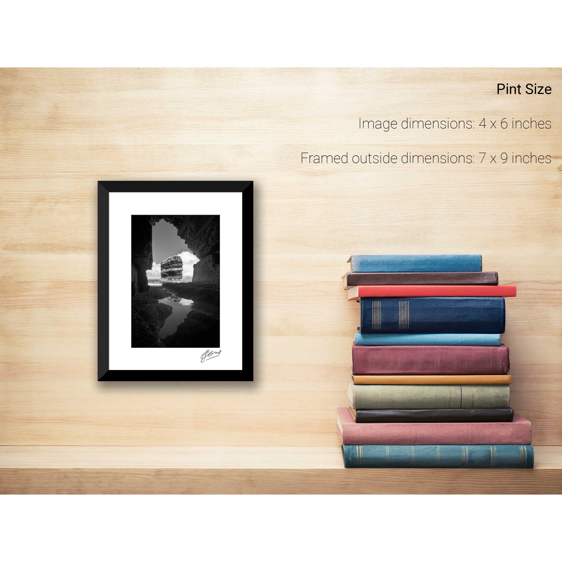
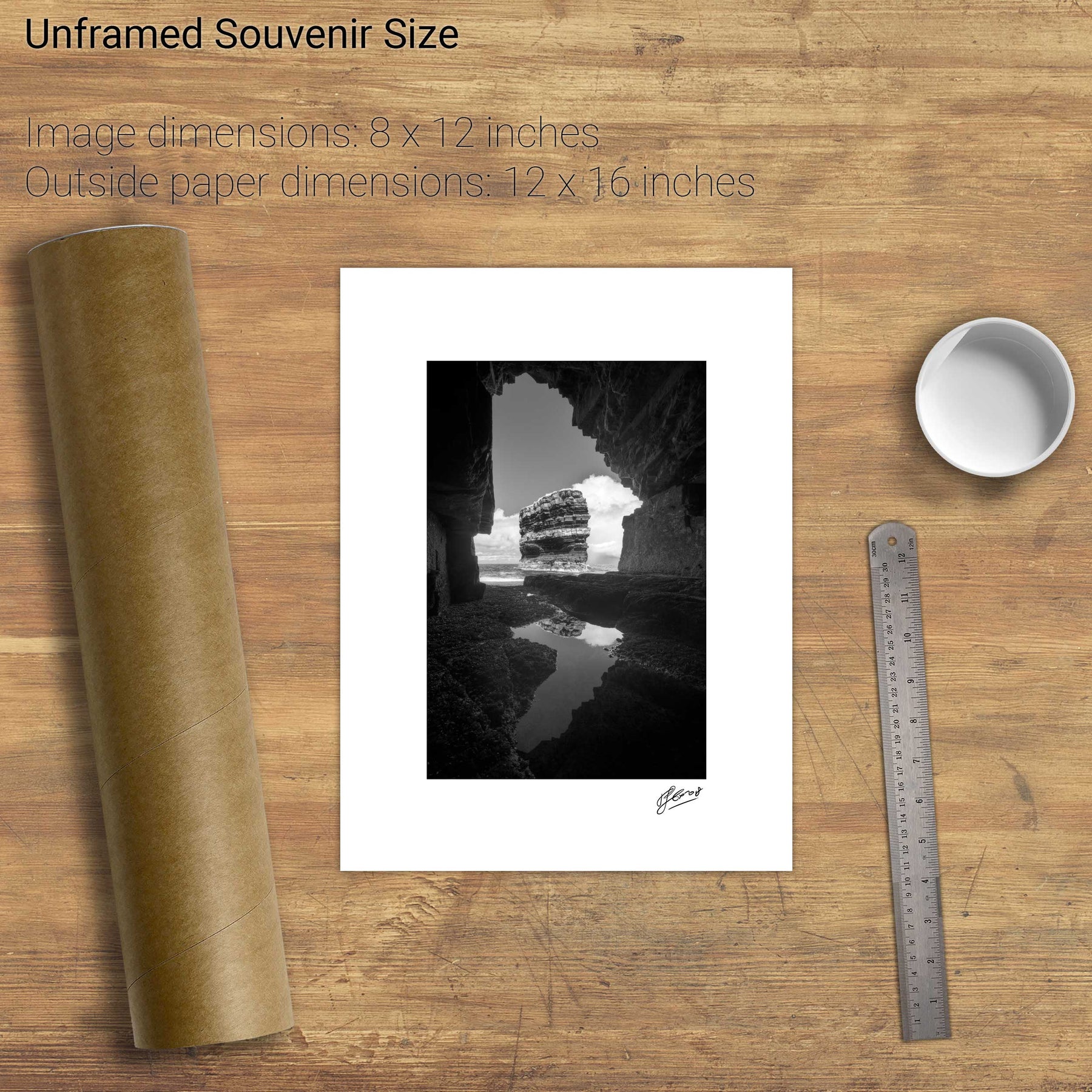
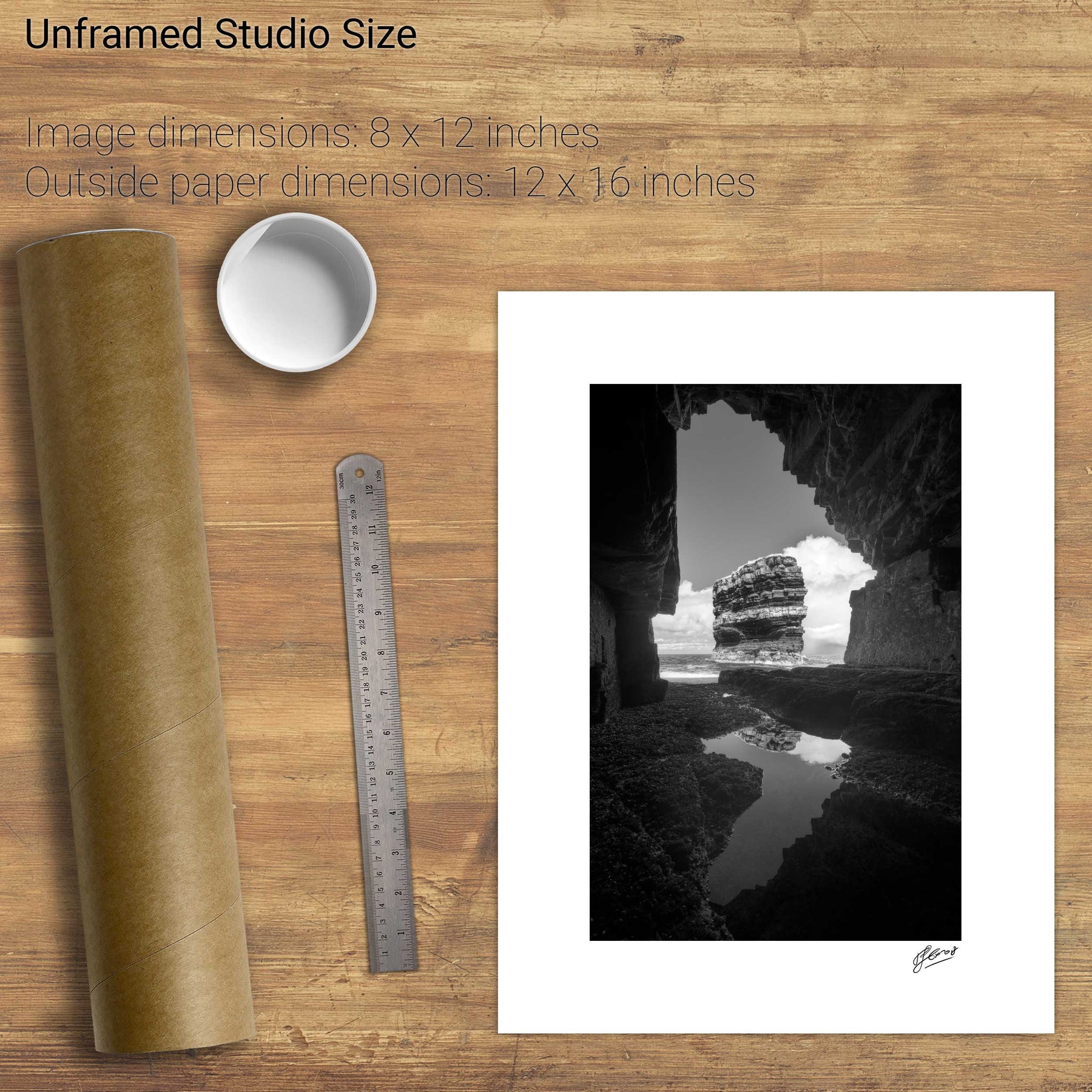
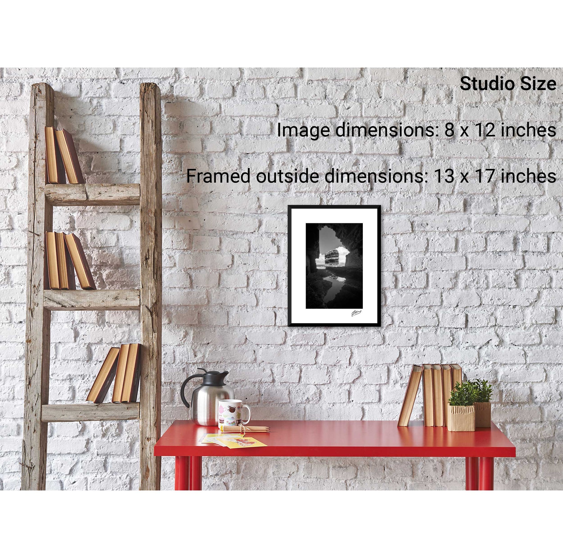
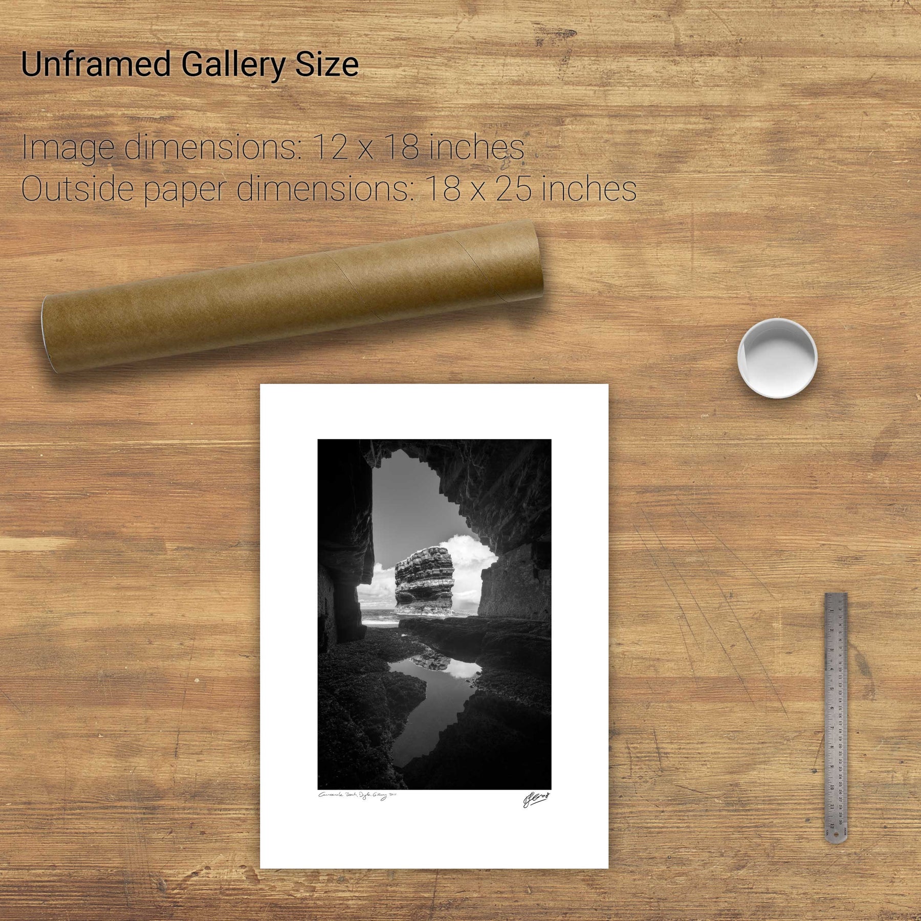
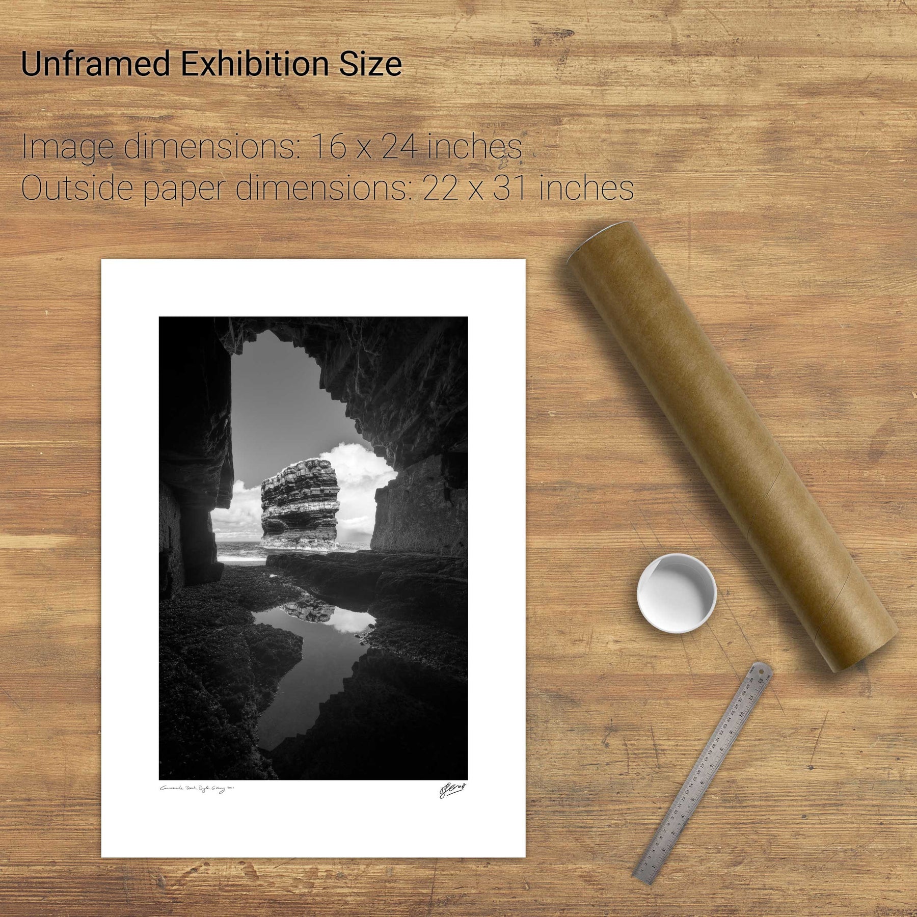
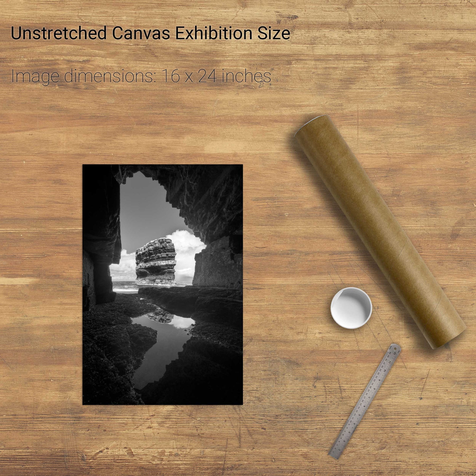
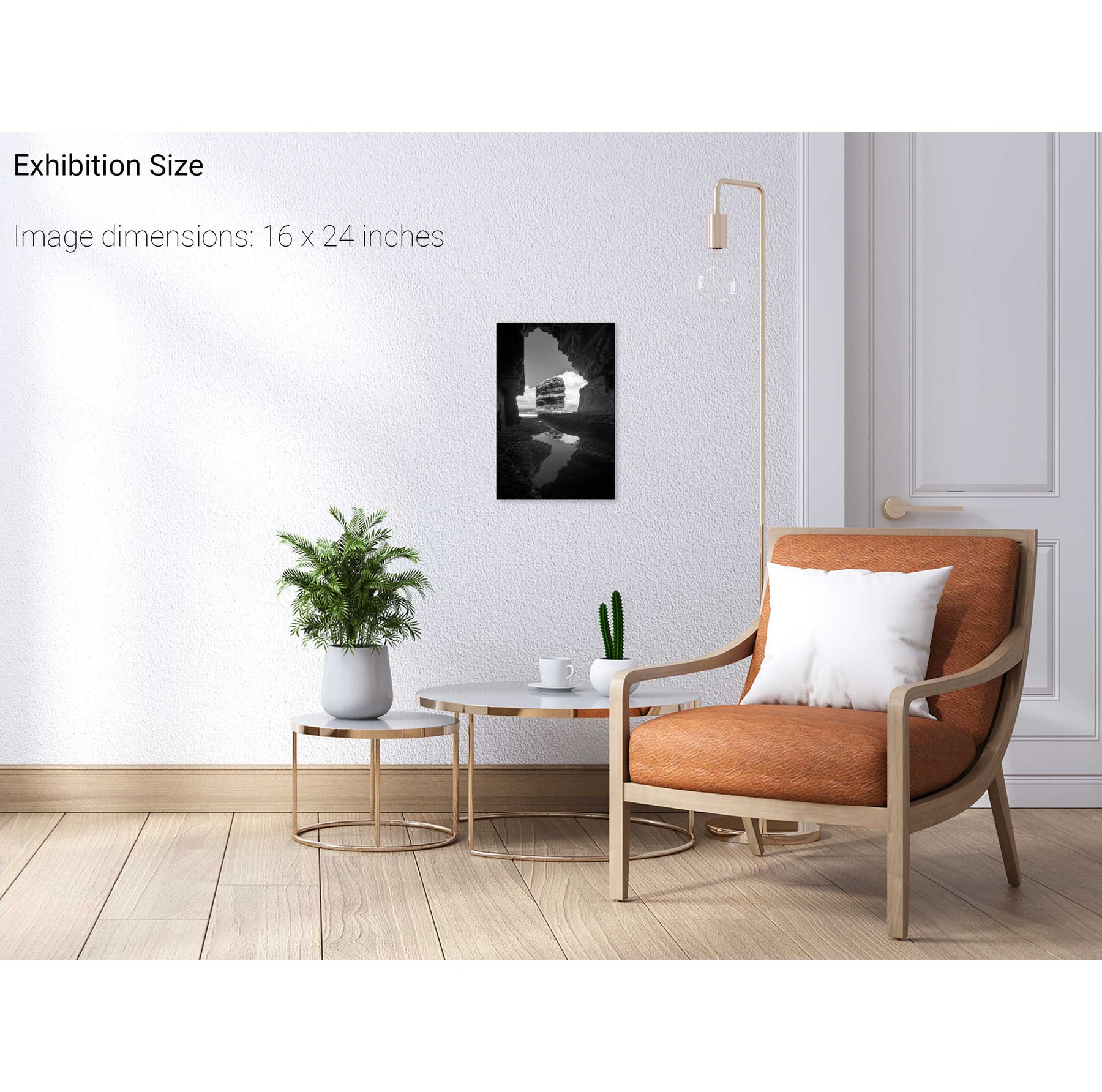
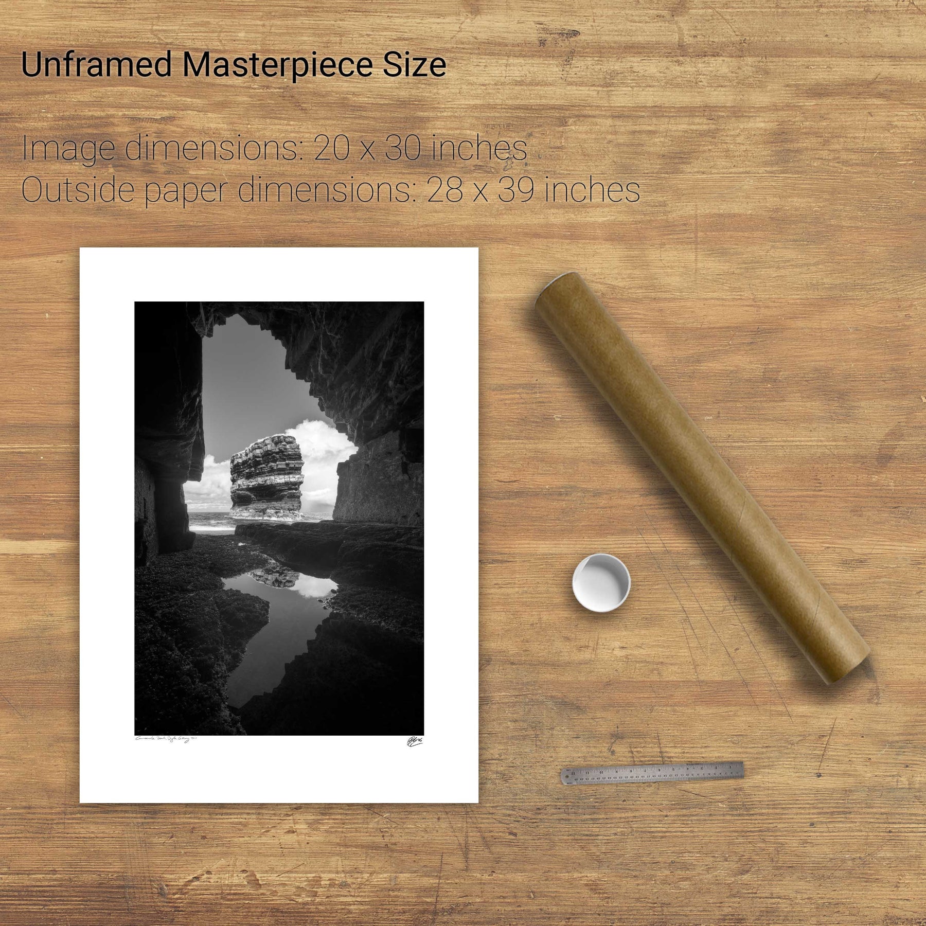
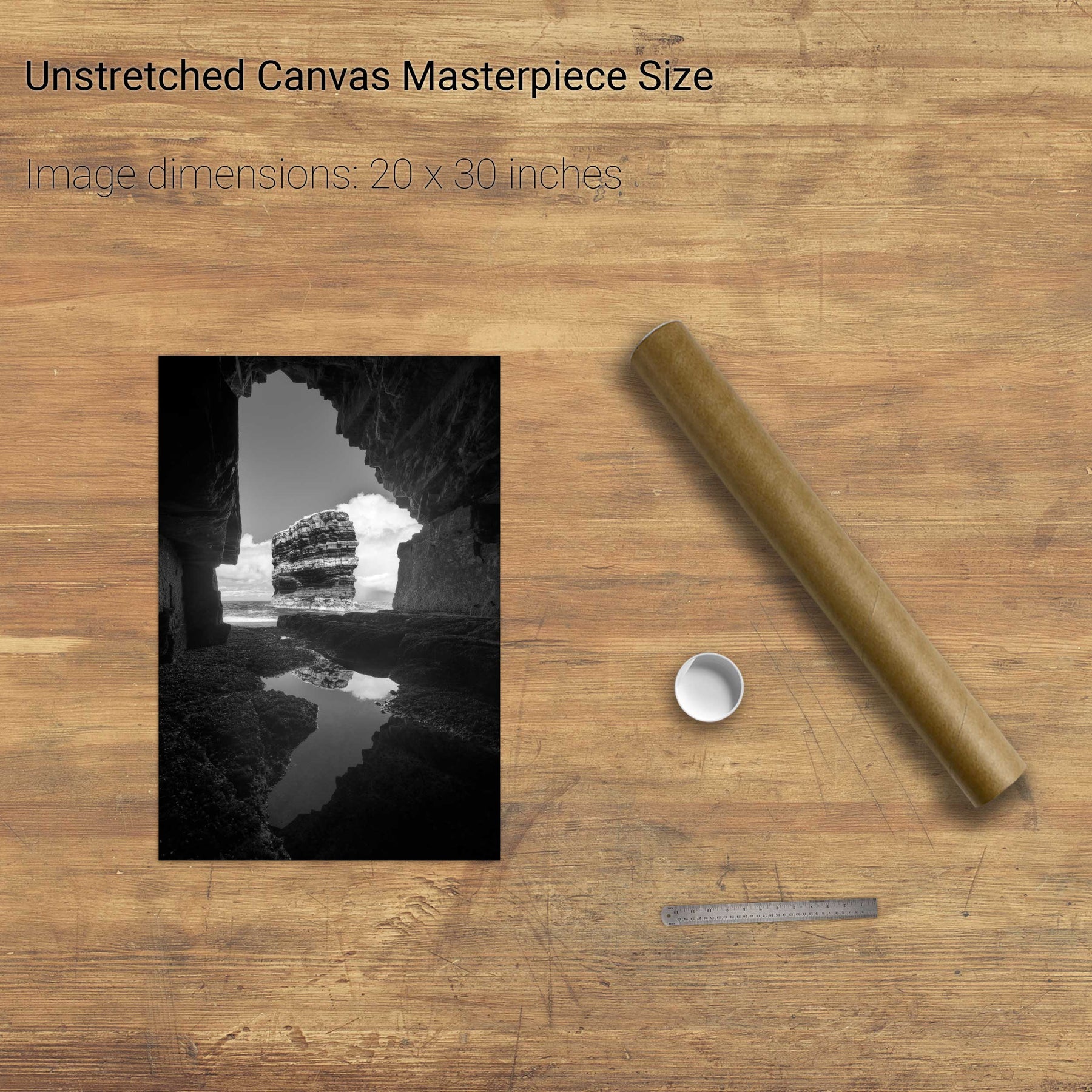
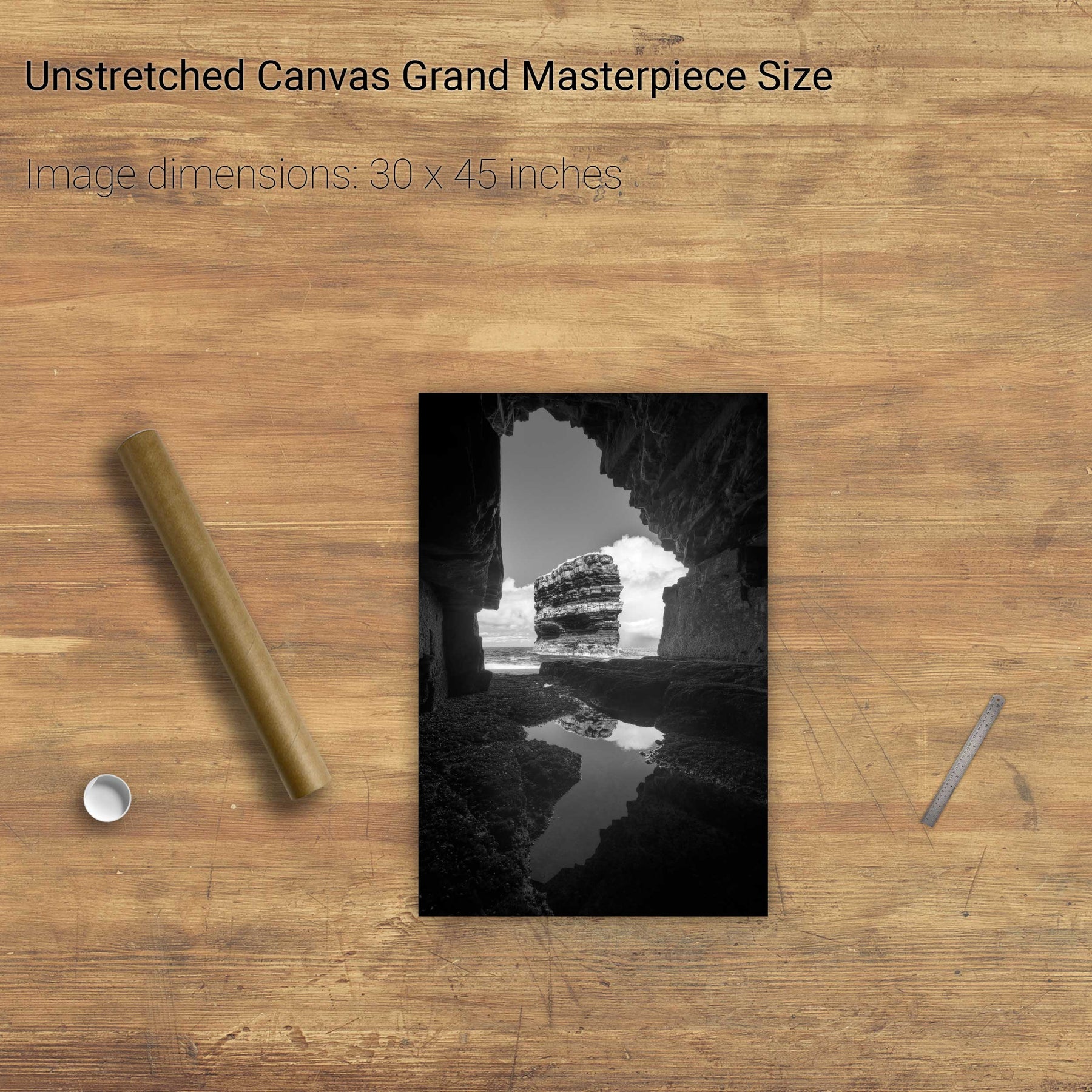
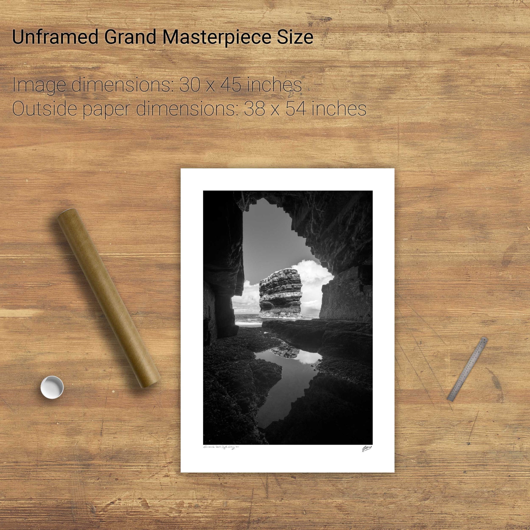
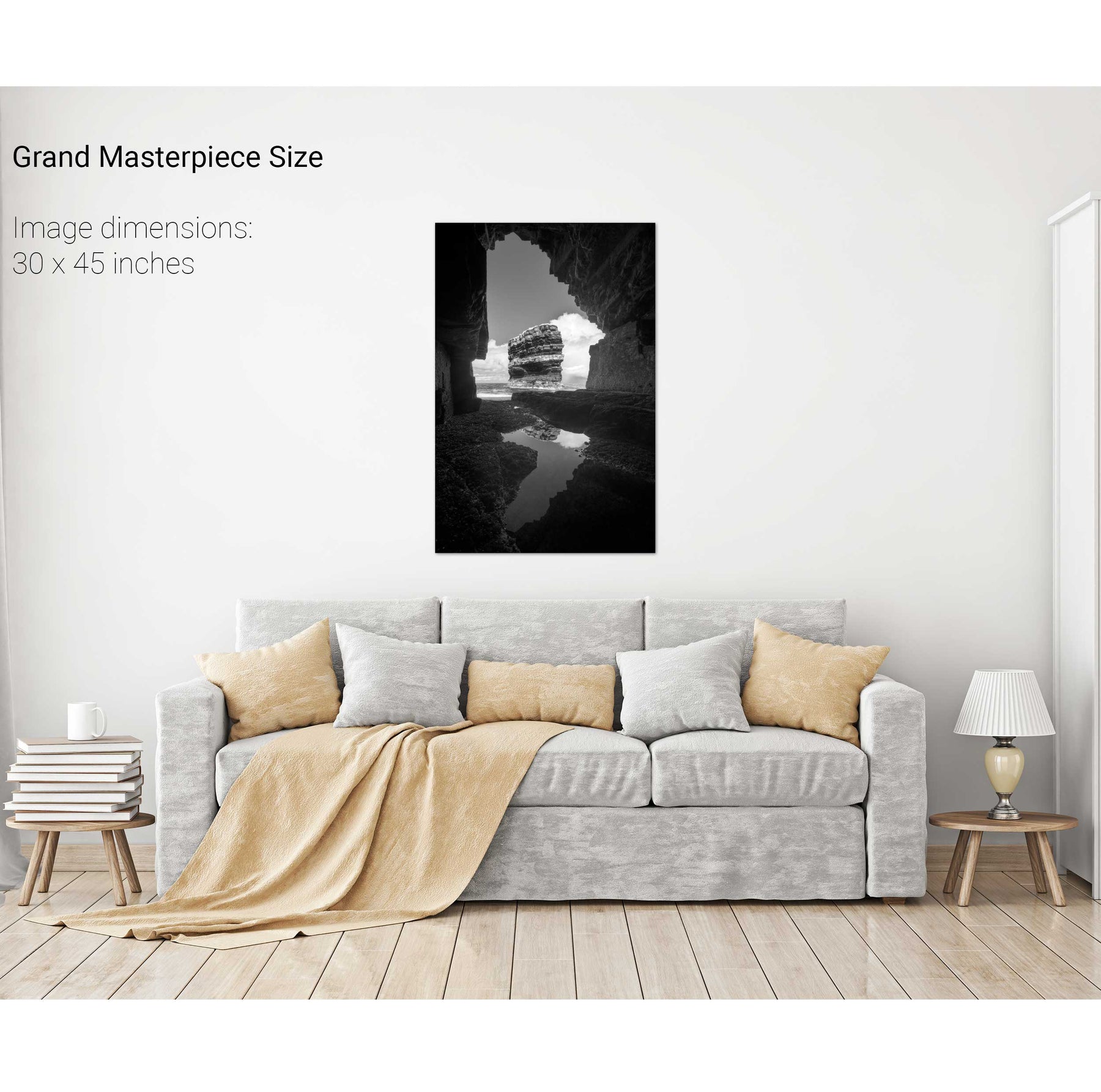
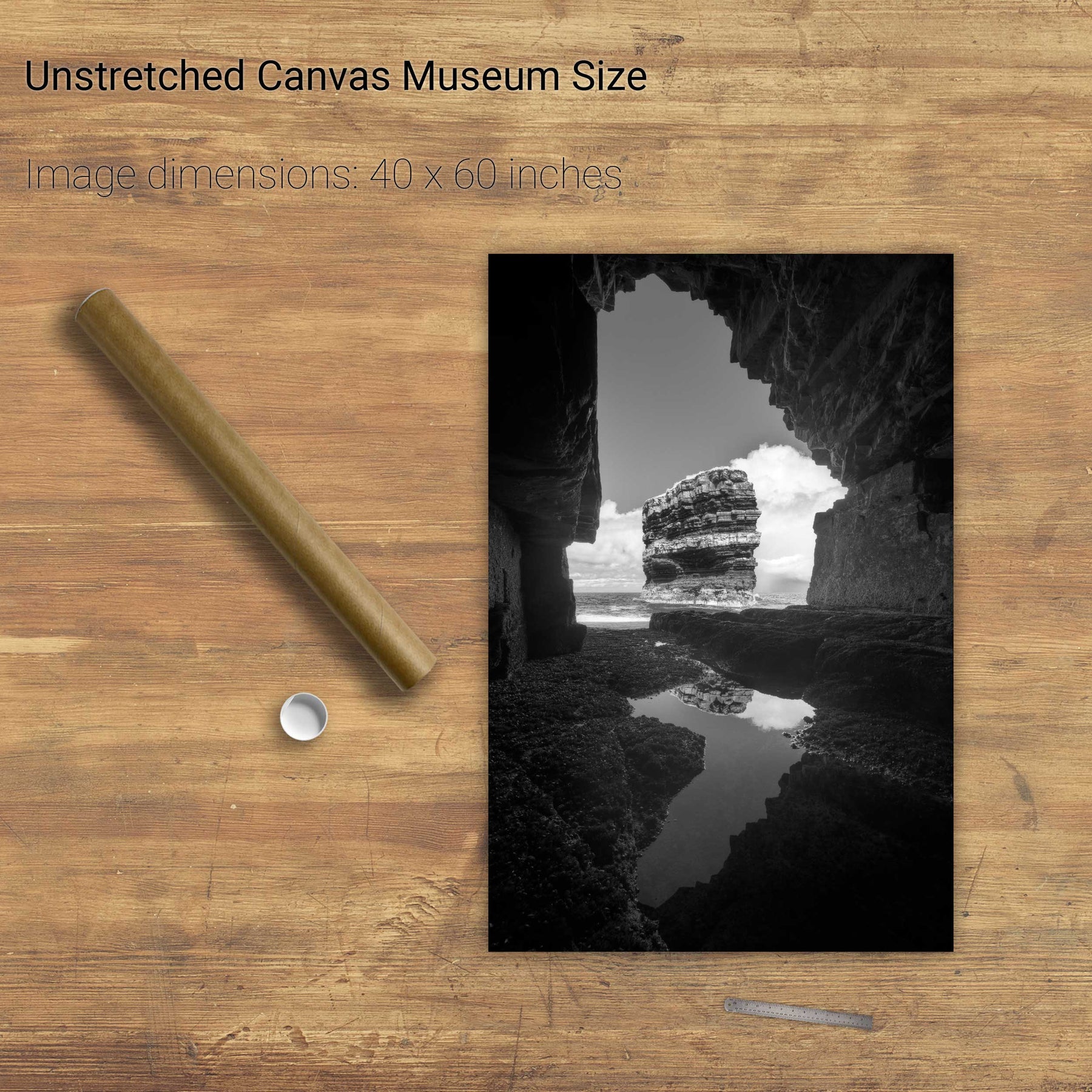
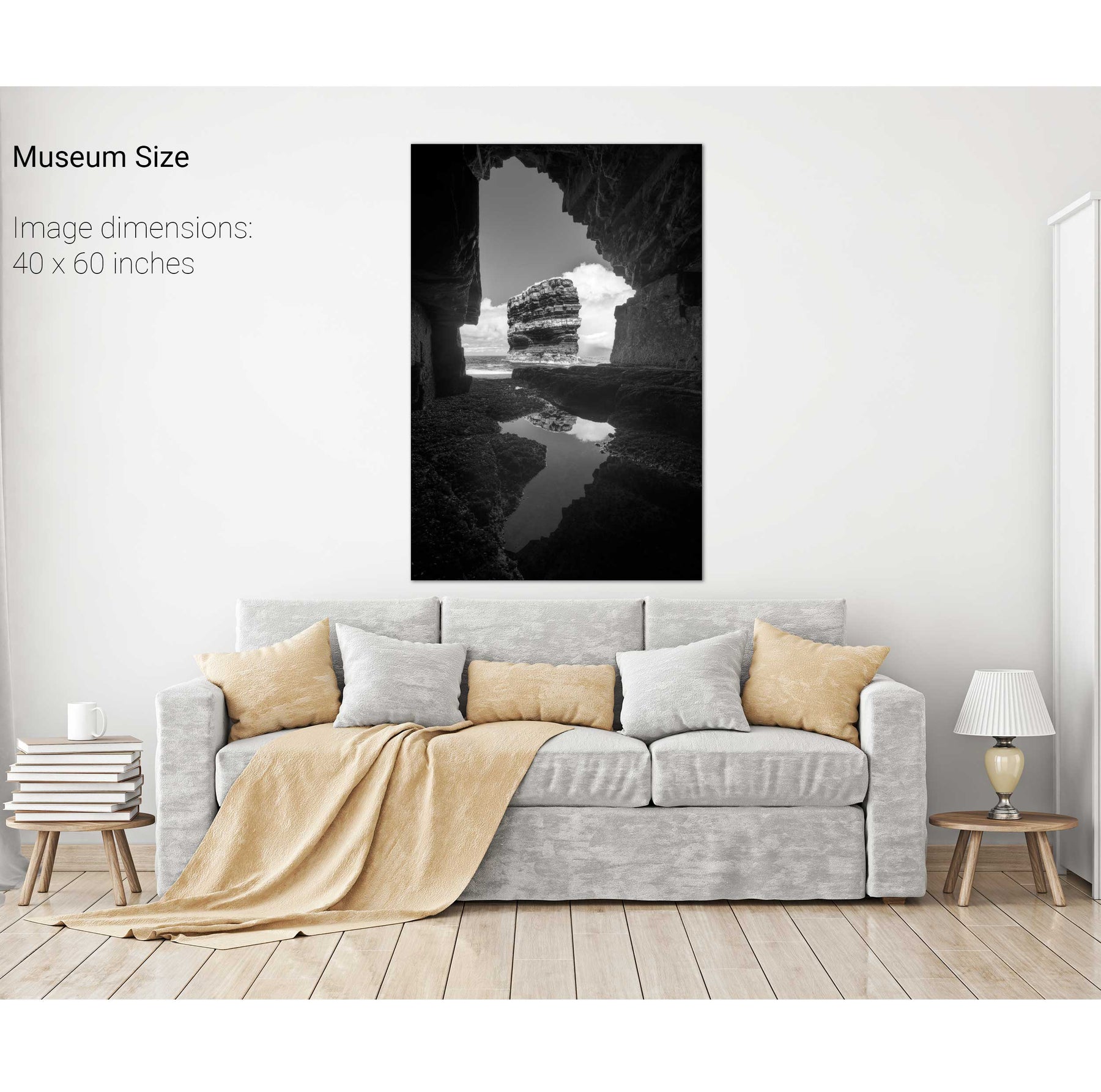
Dún Briste from the Cave
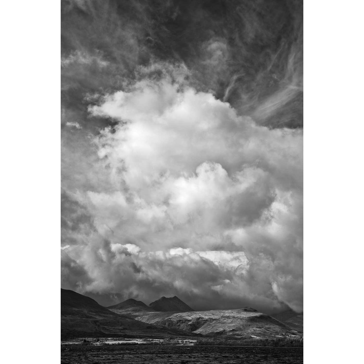
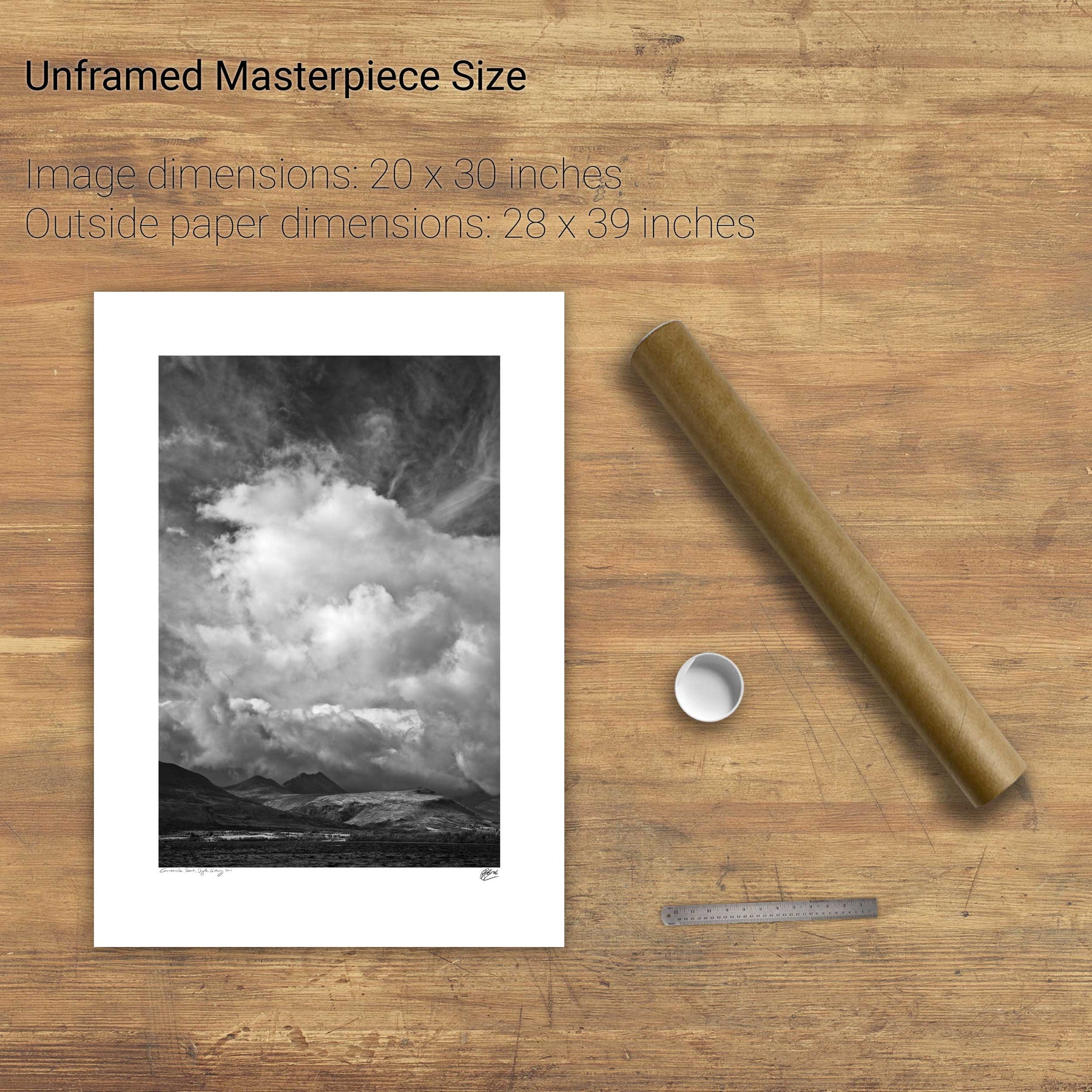
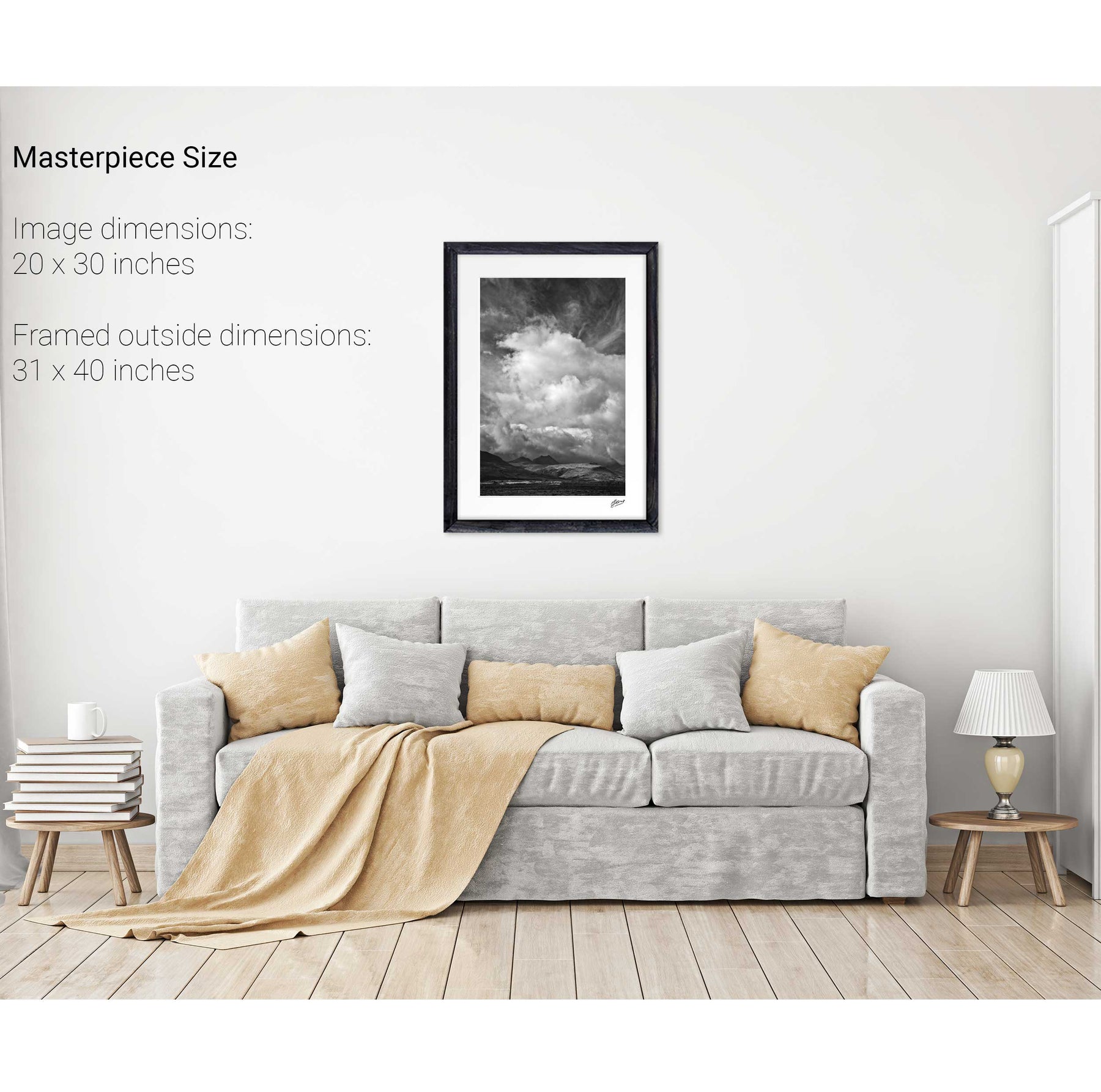
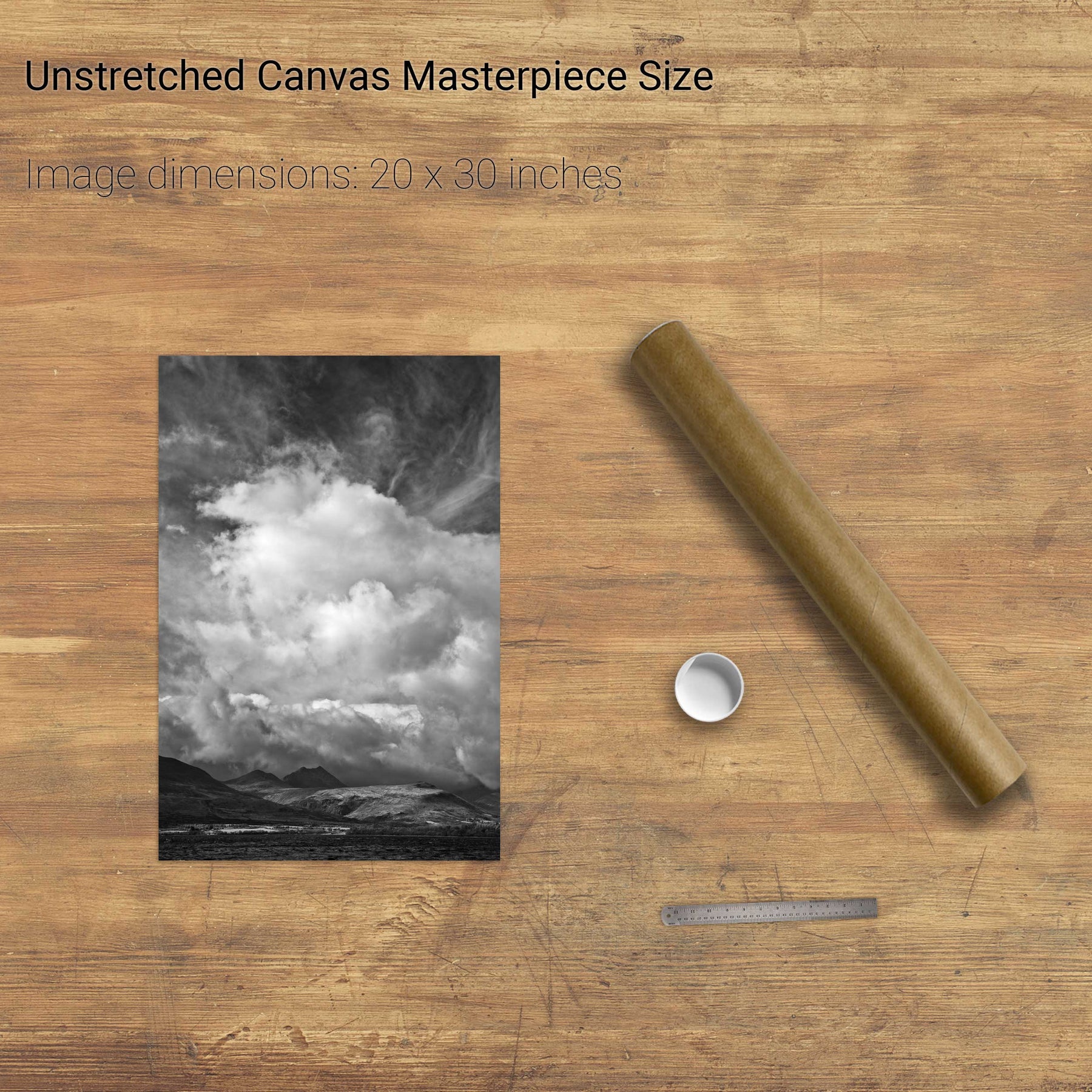
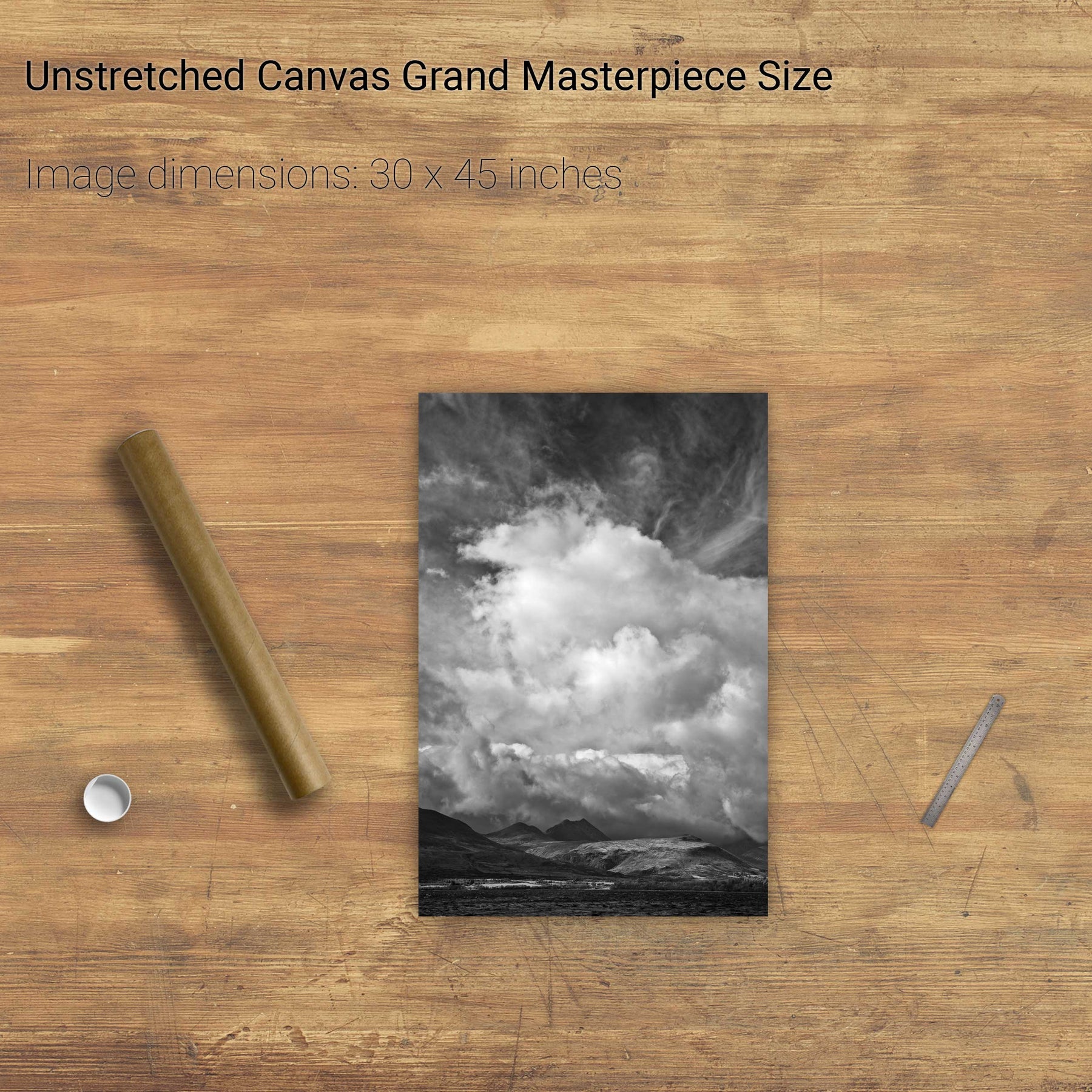
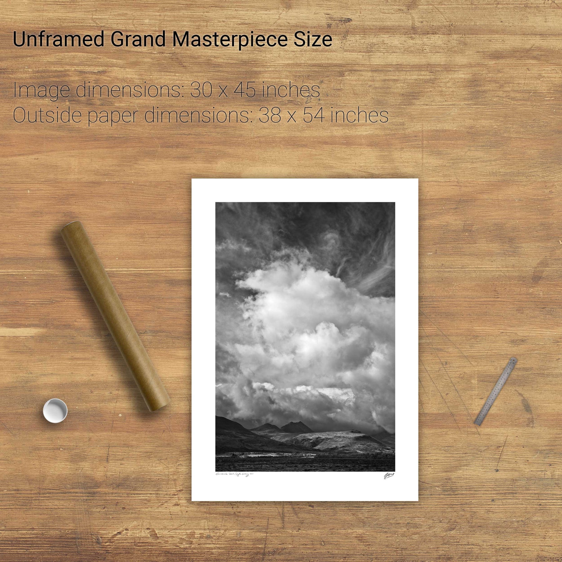
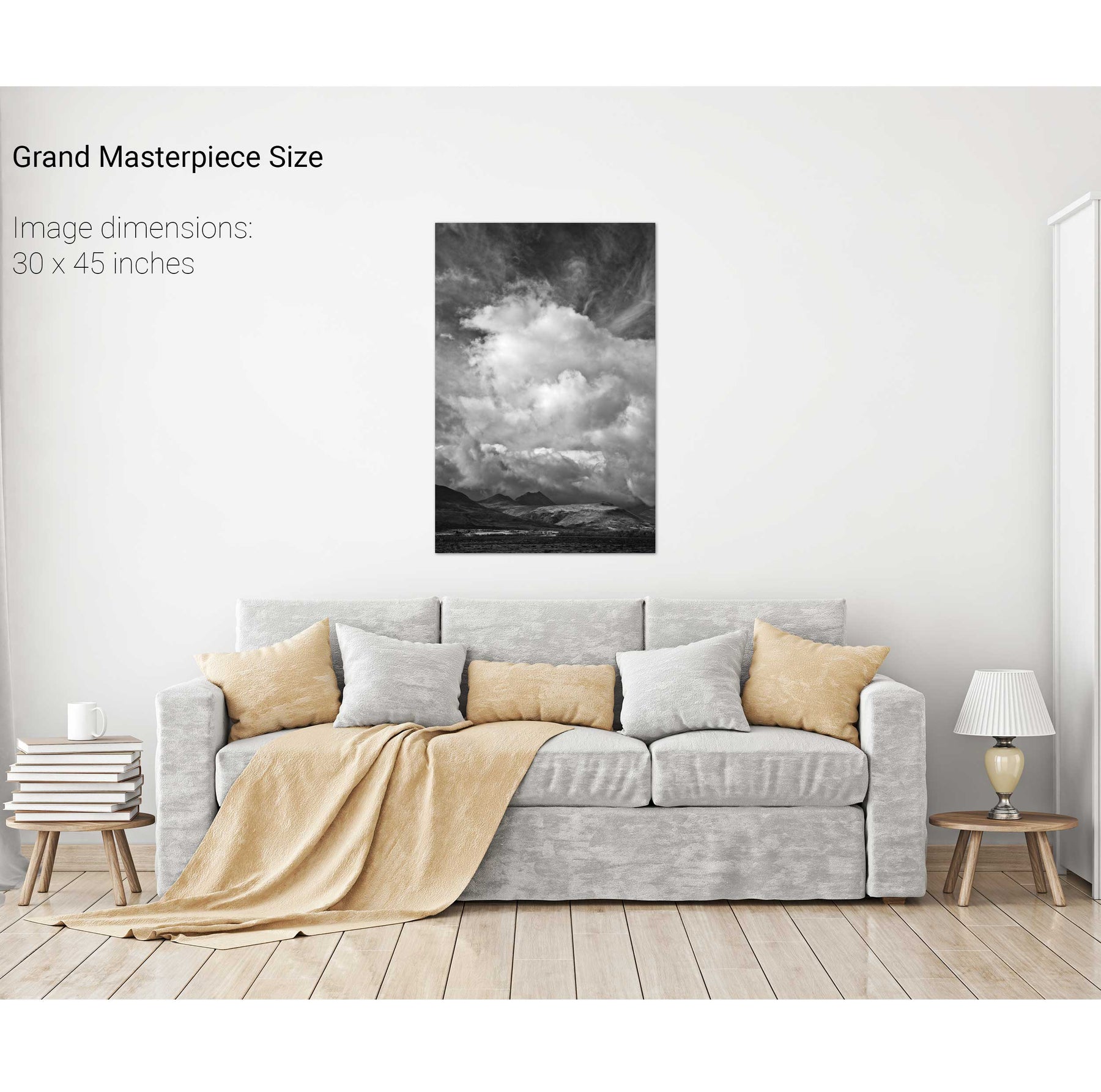
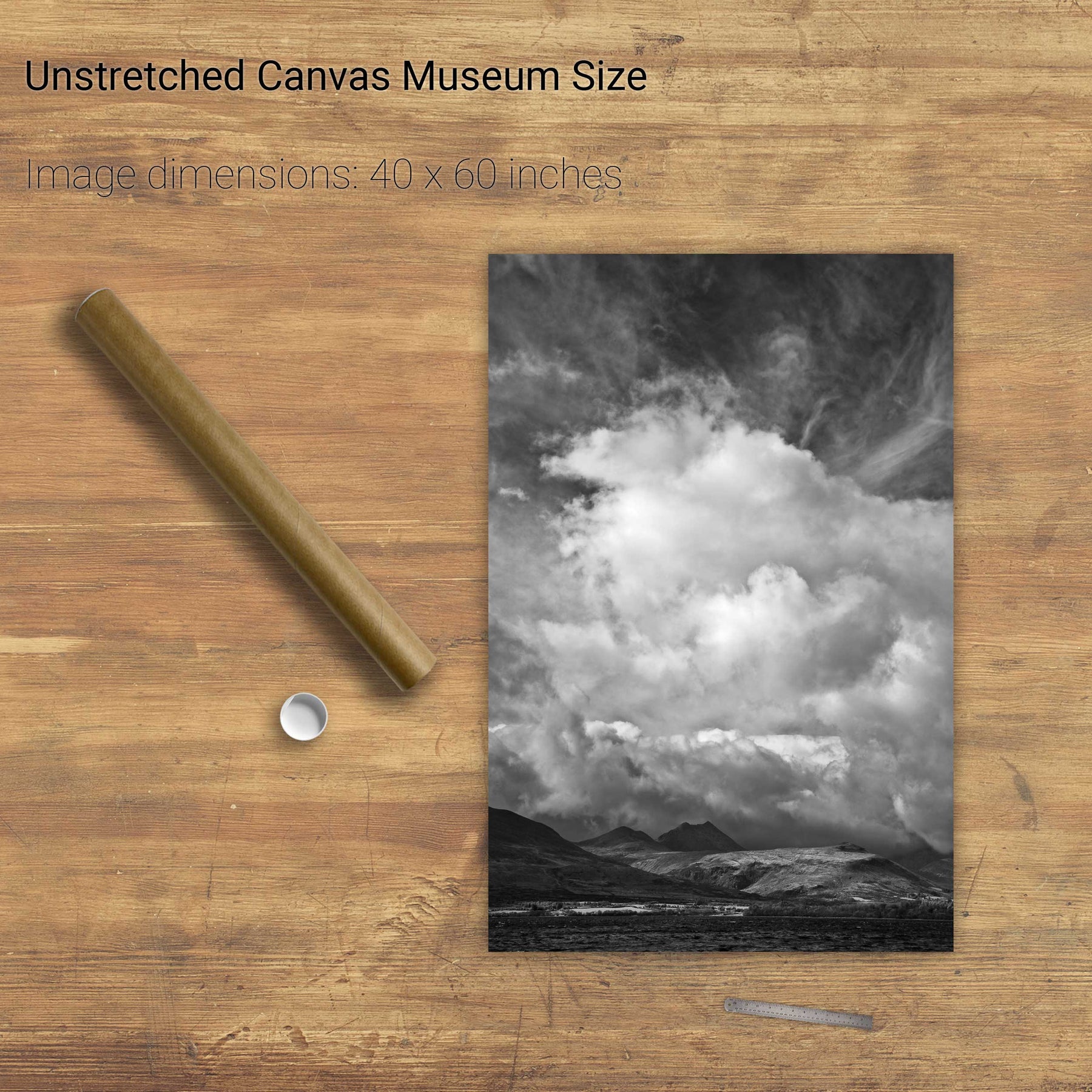
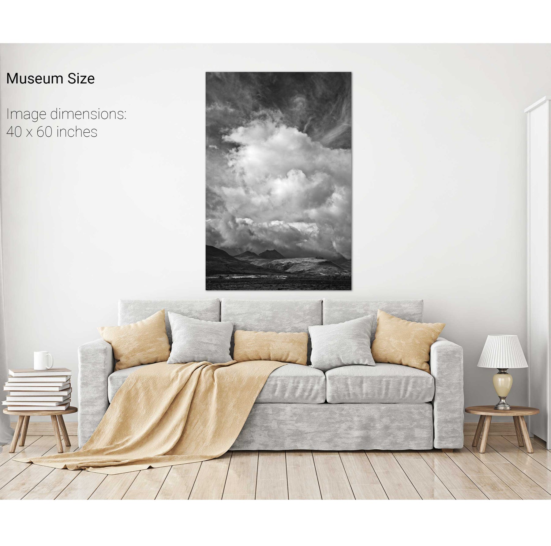
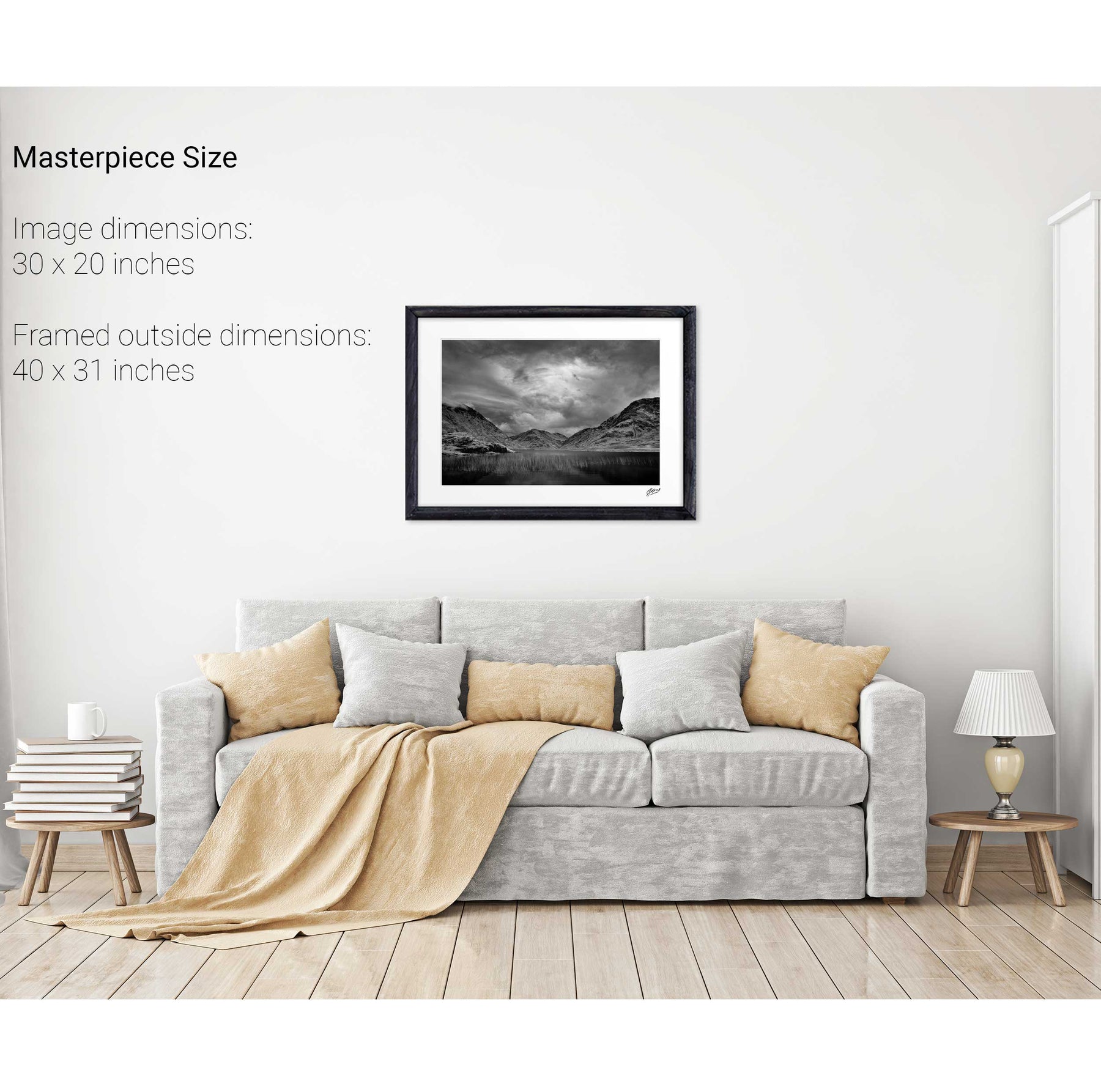
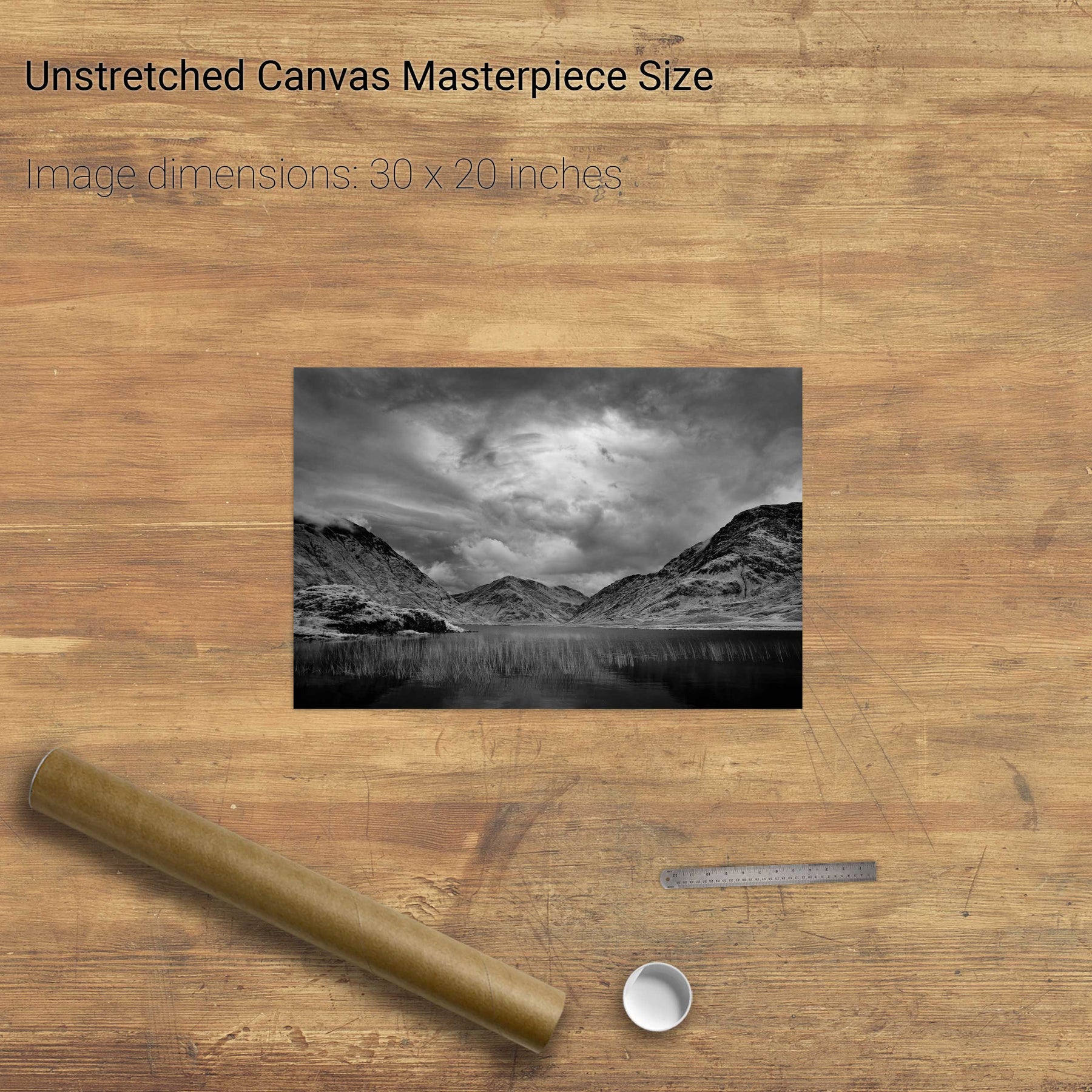
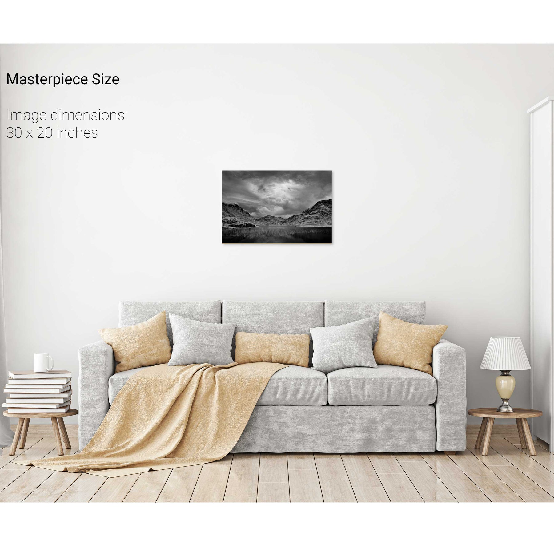
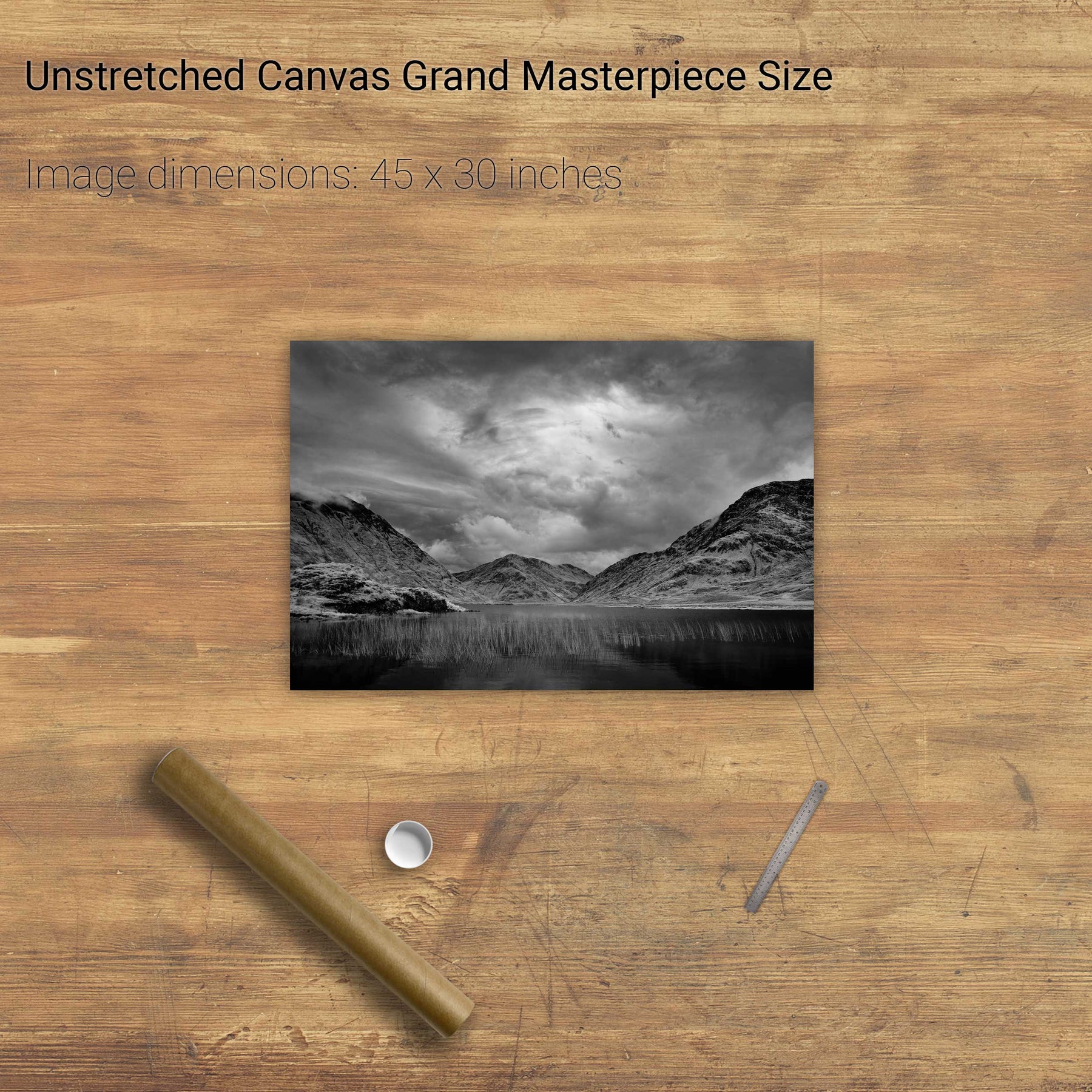
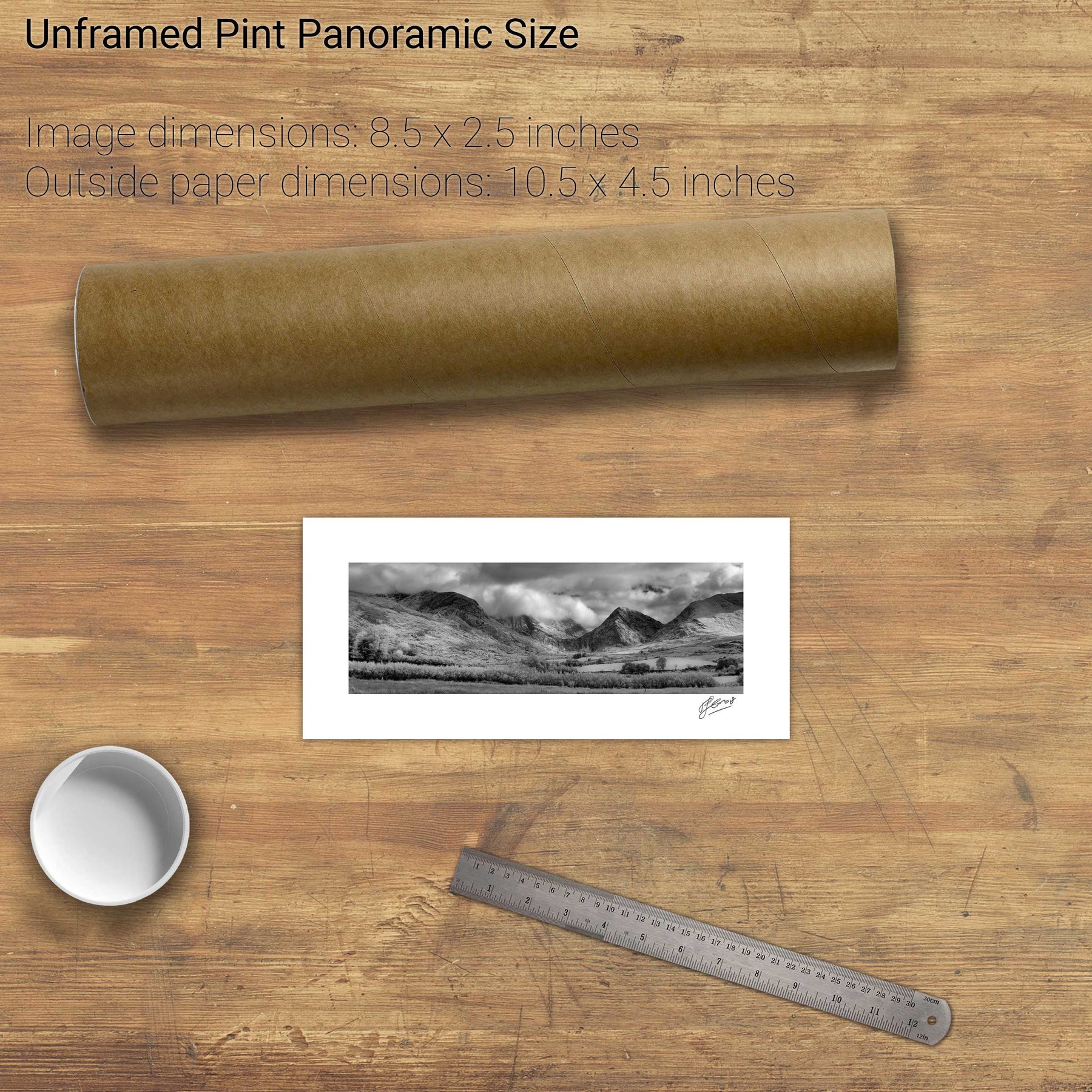
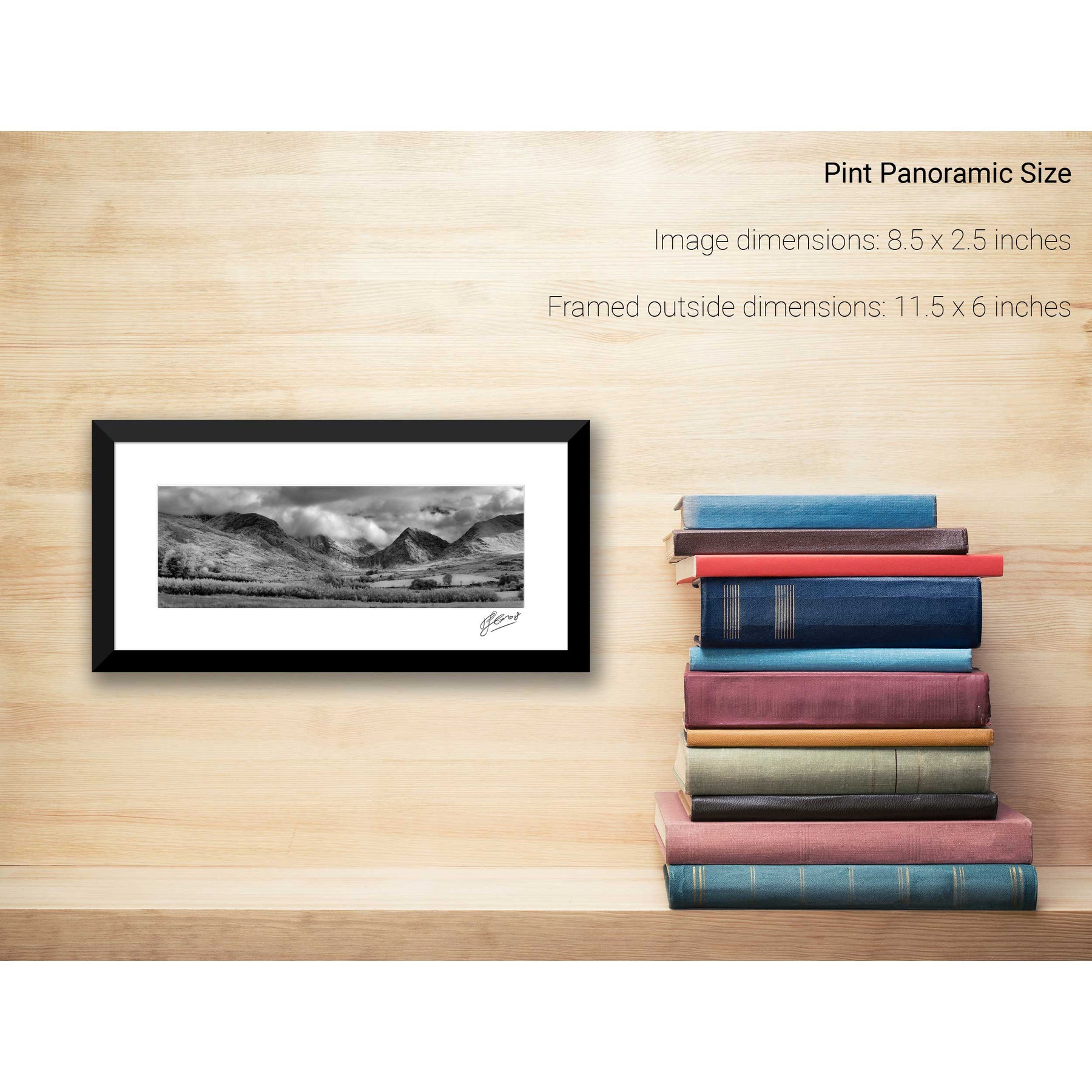
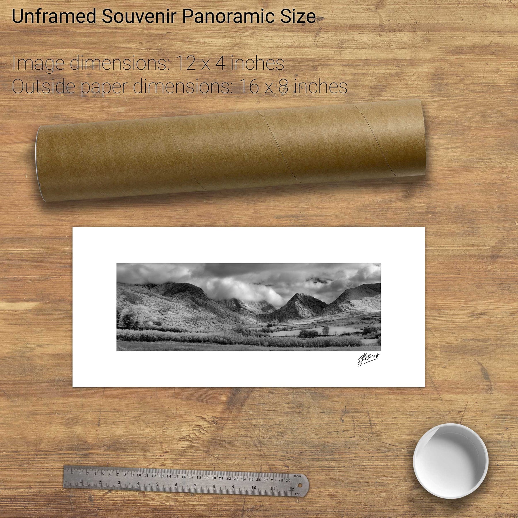
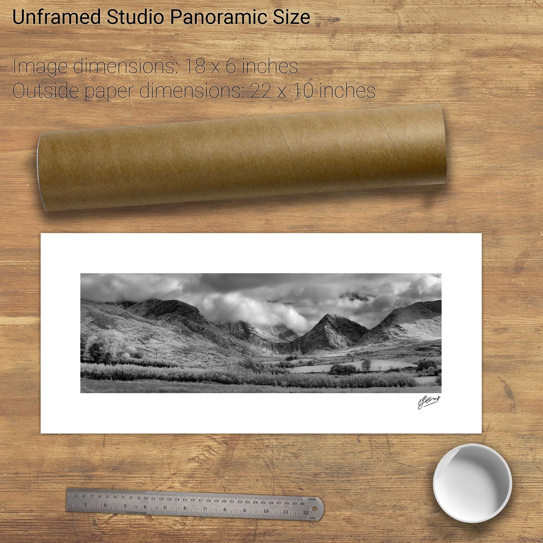
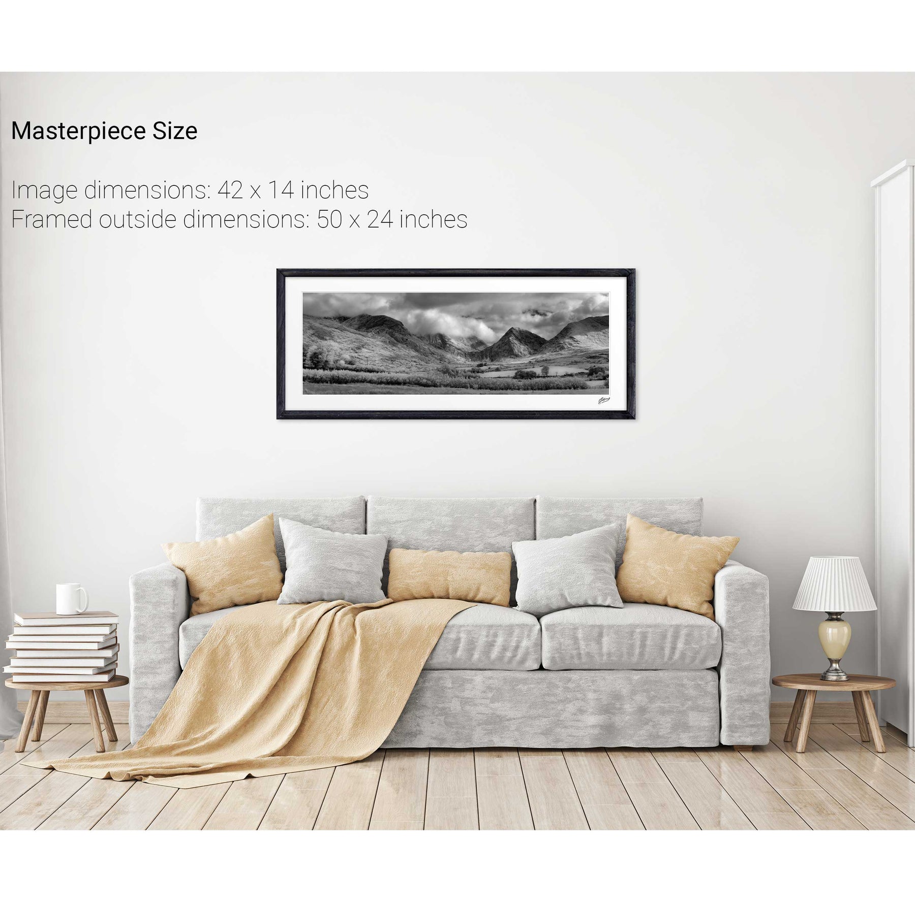
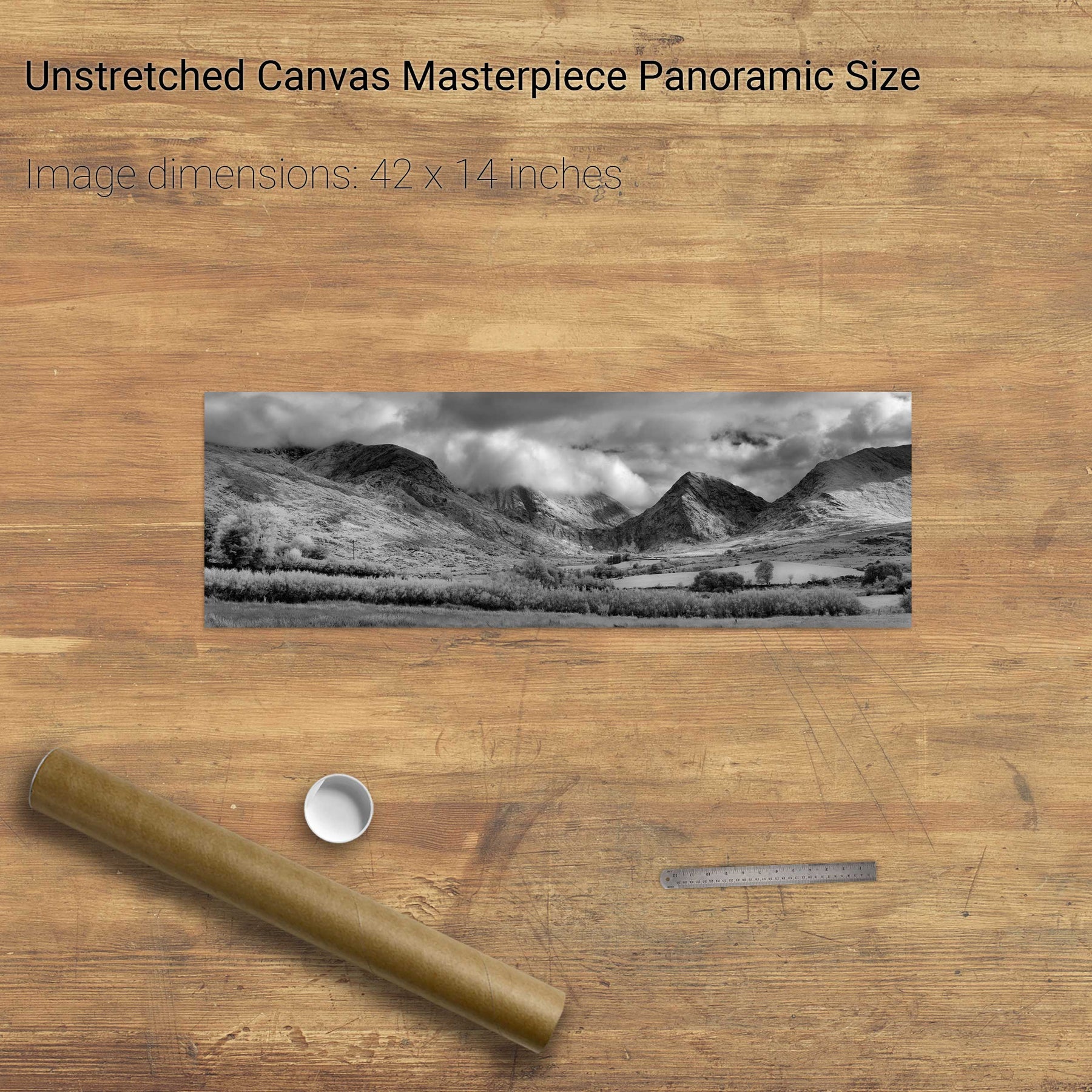
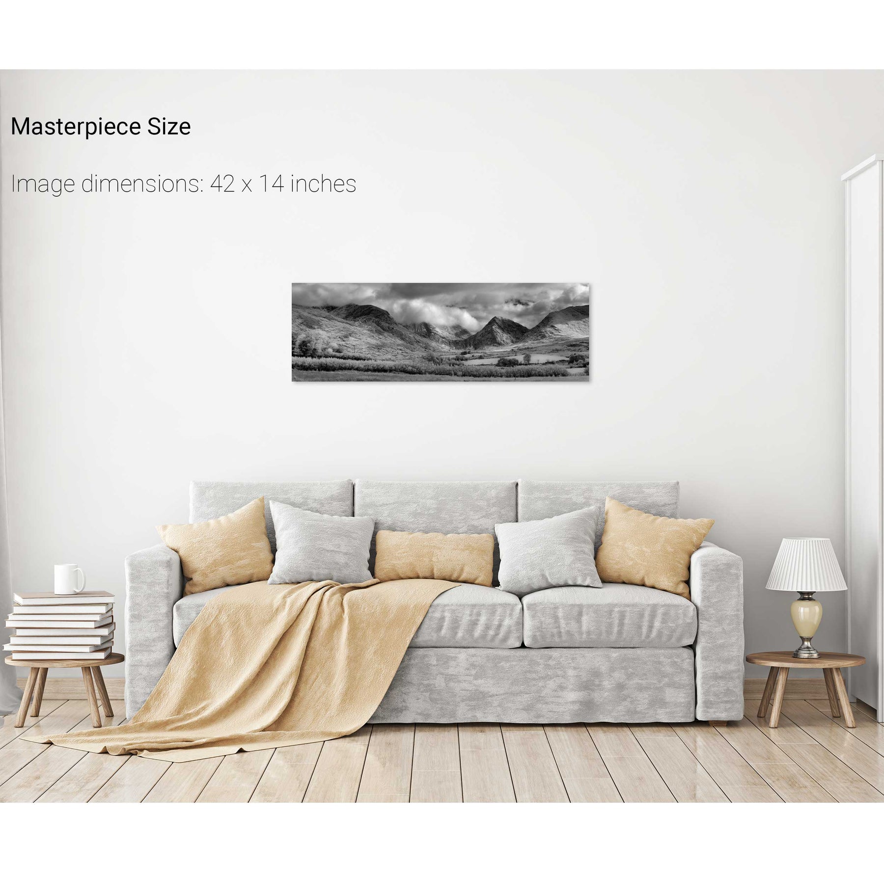
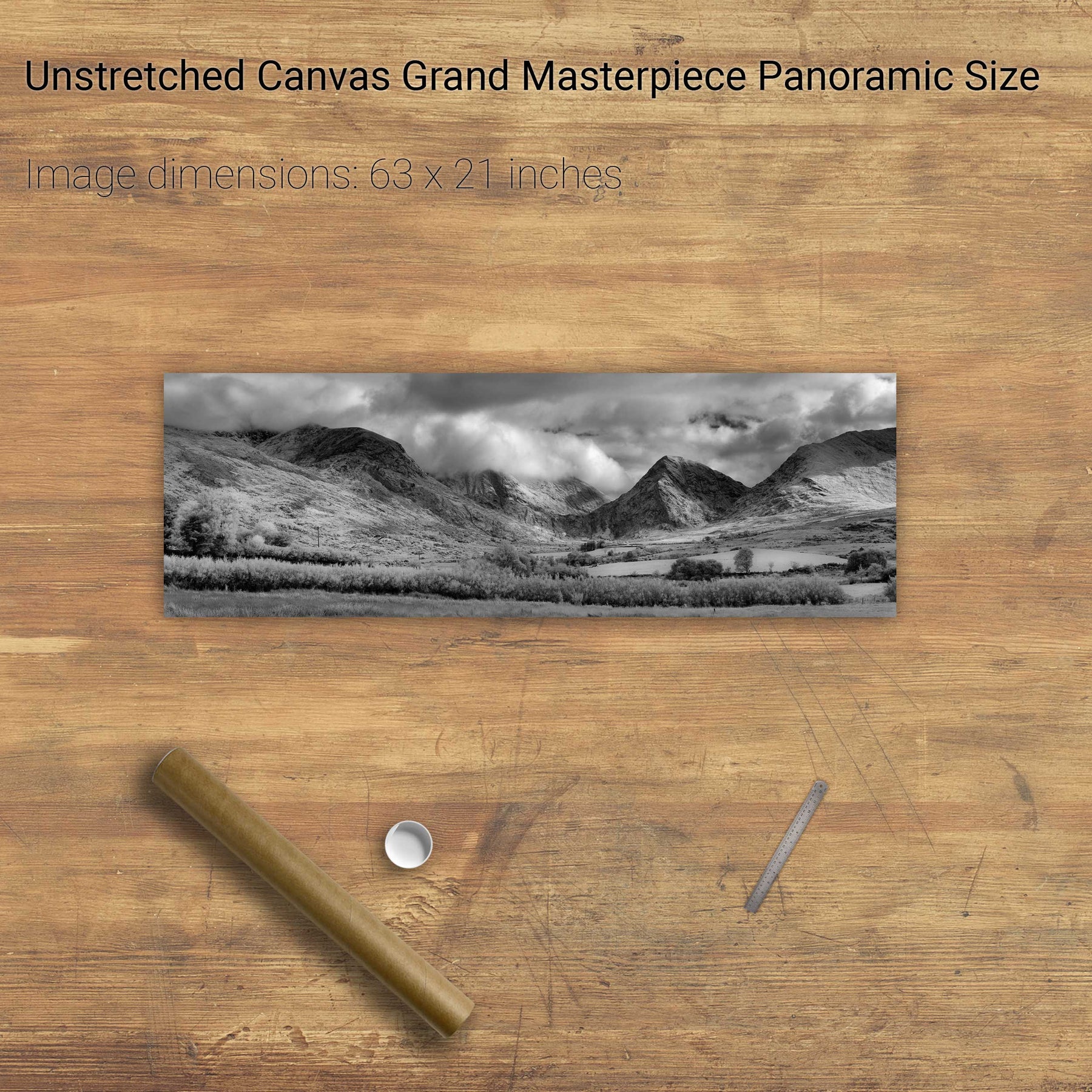
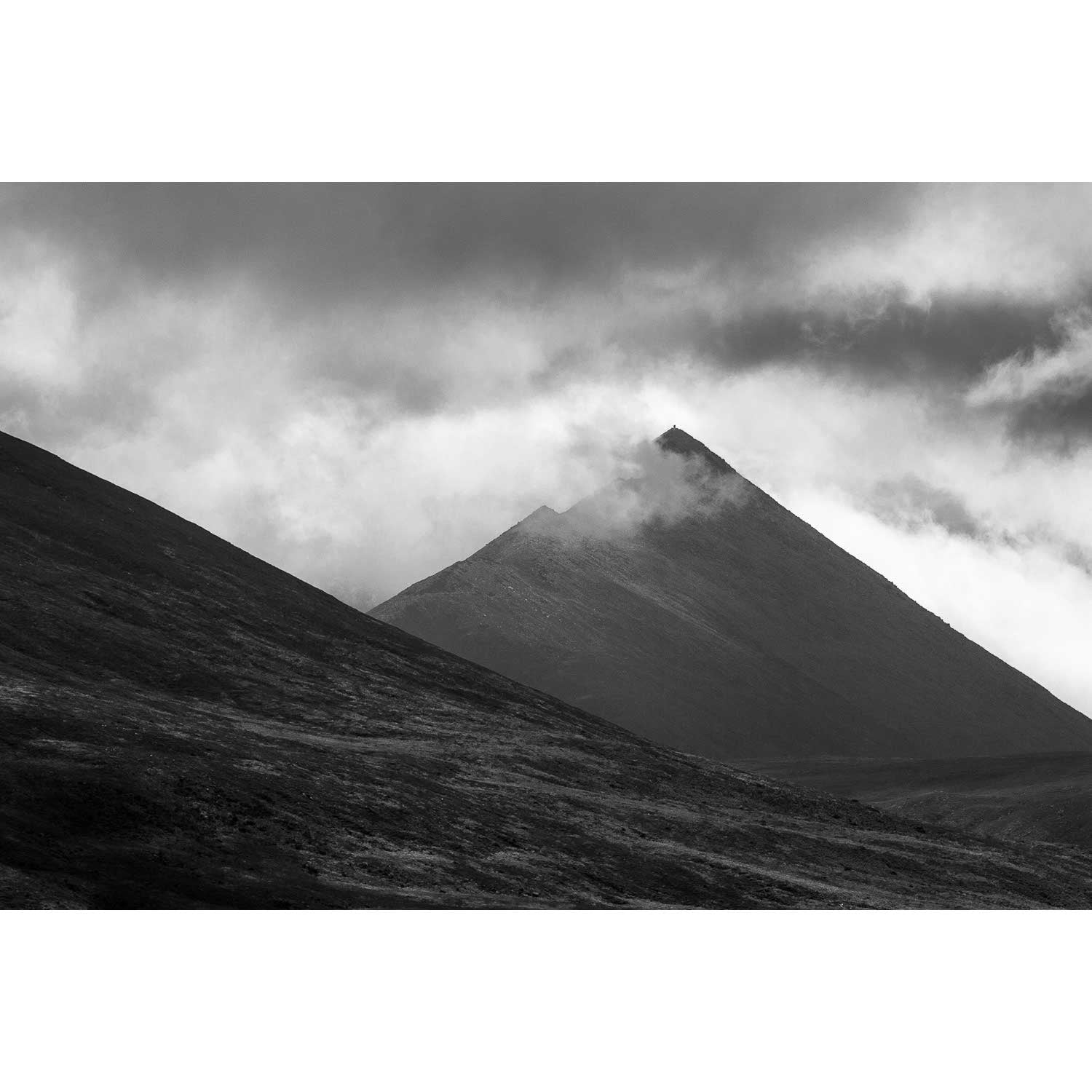
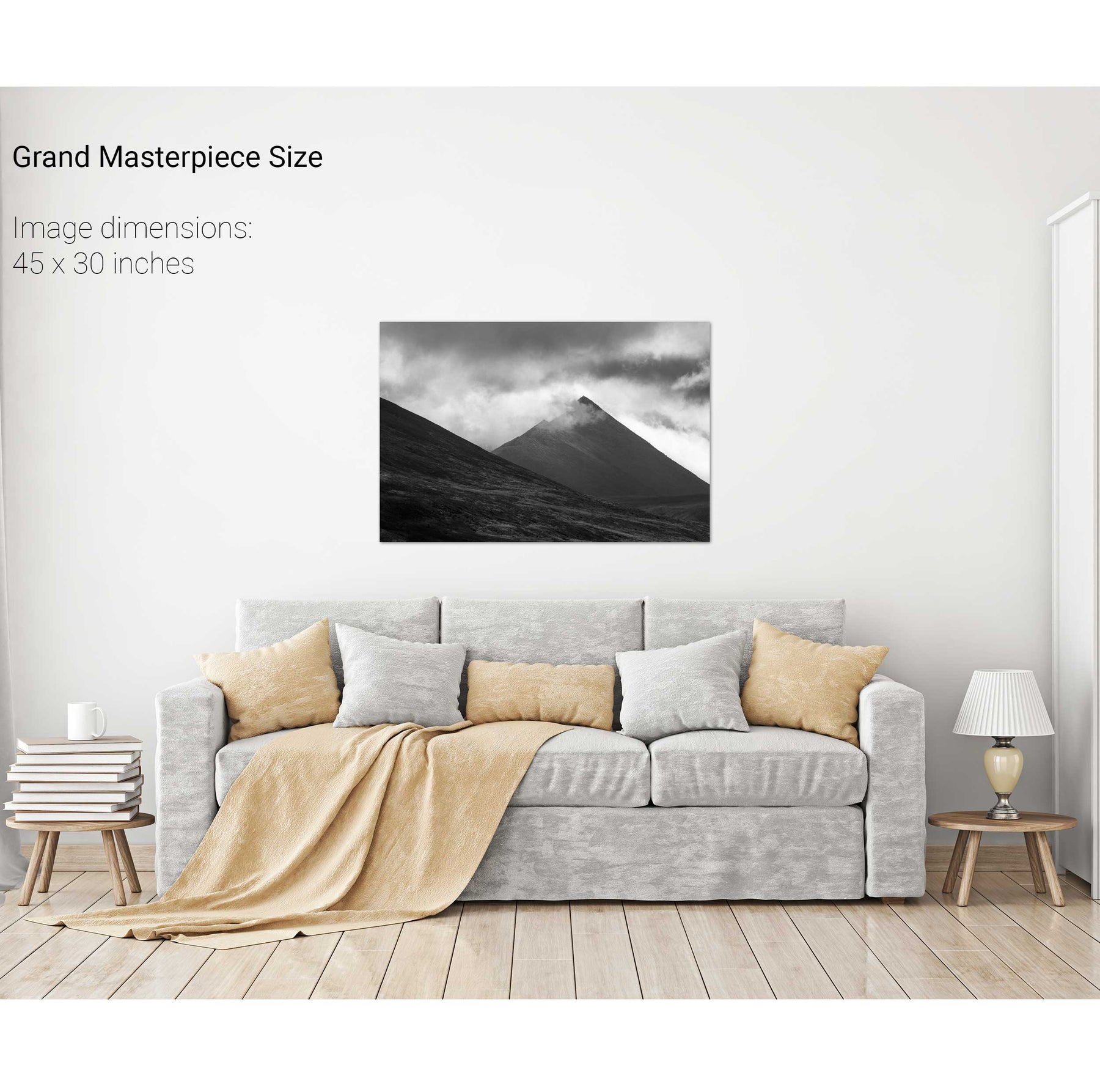
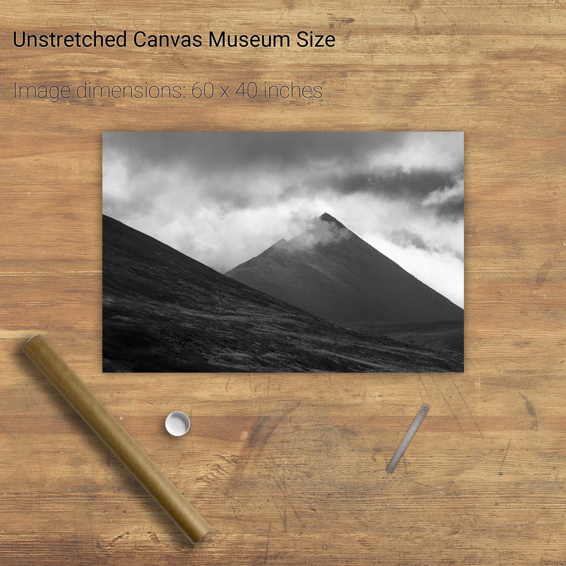
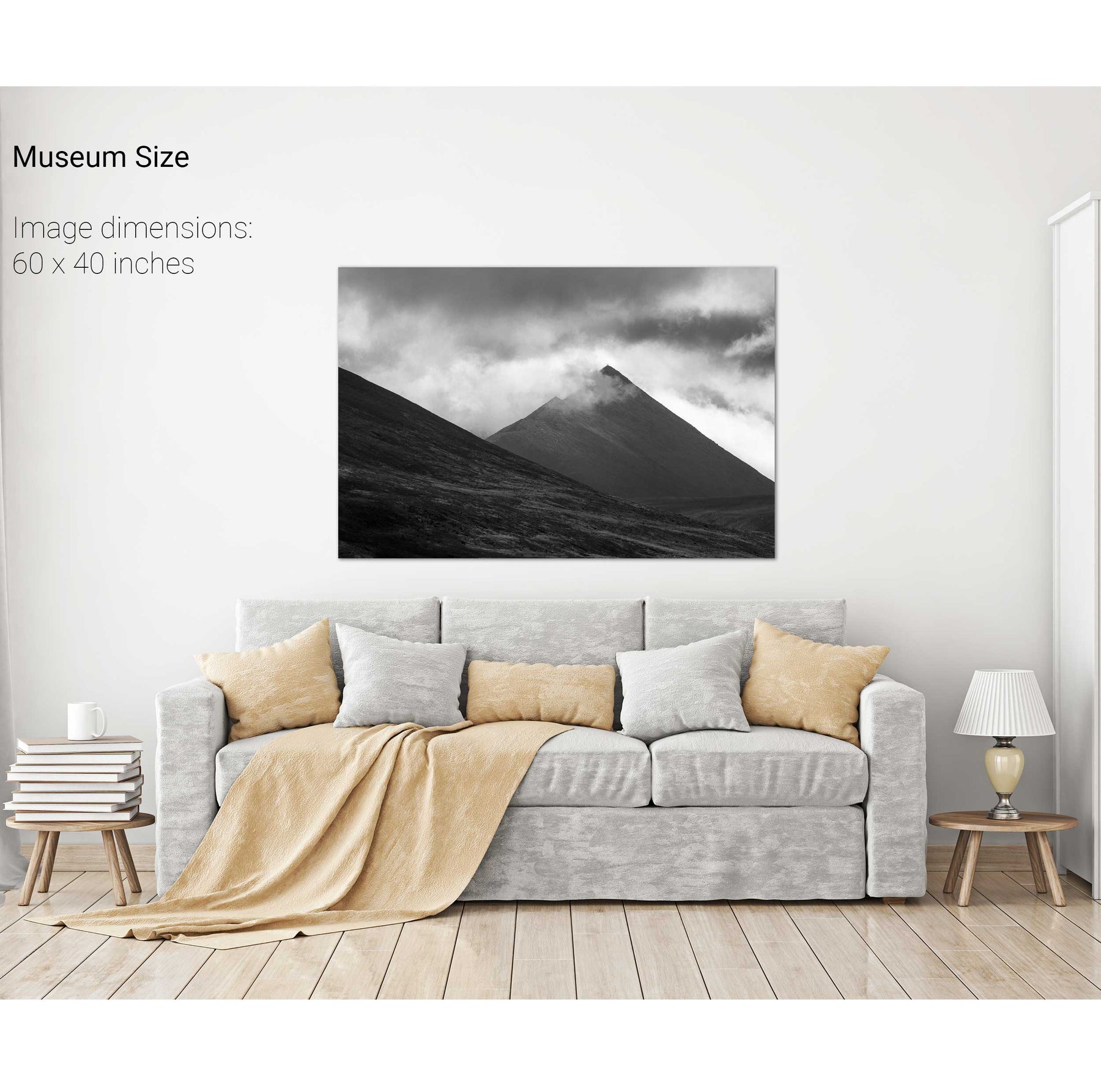
Uncertain Skies over the Reeks, Killarney, Co. Kerry
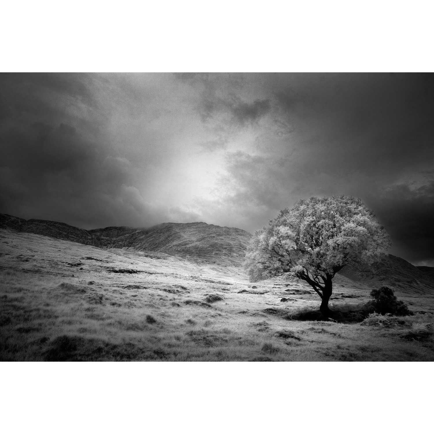
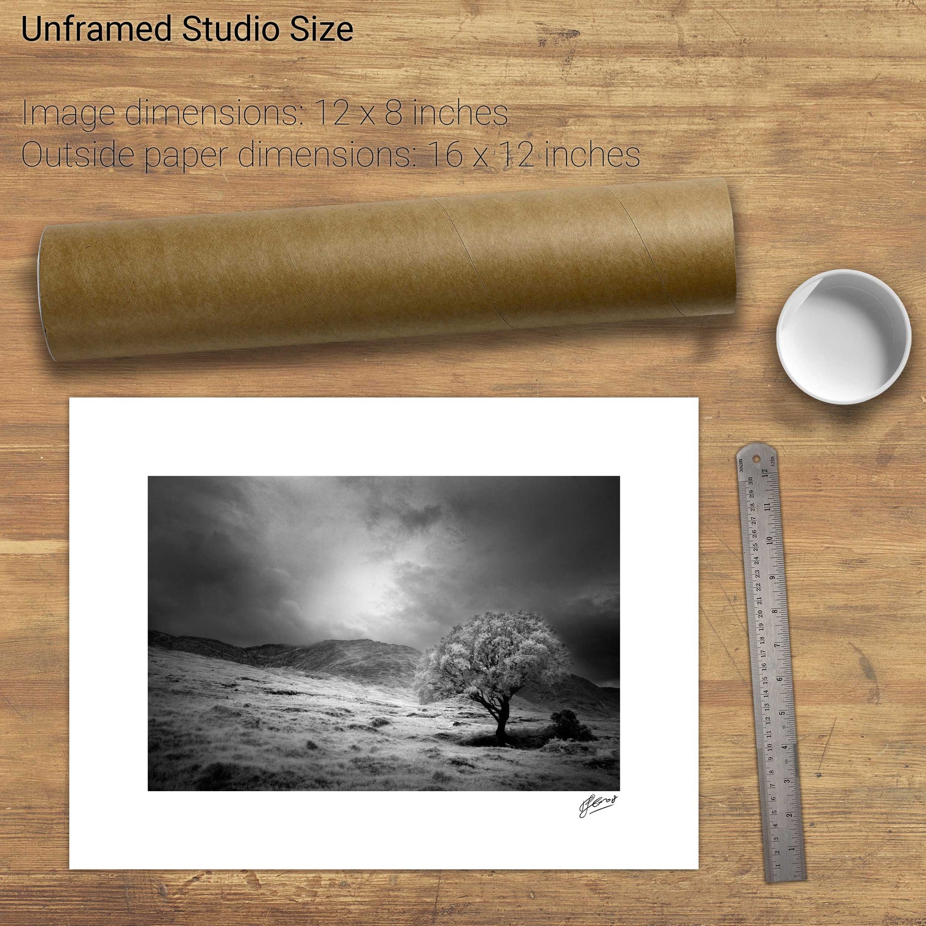
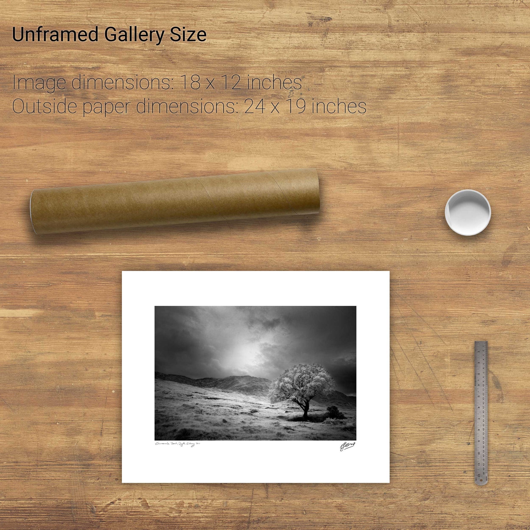
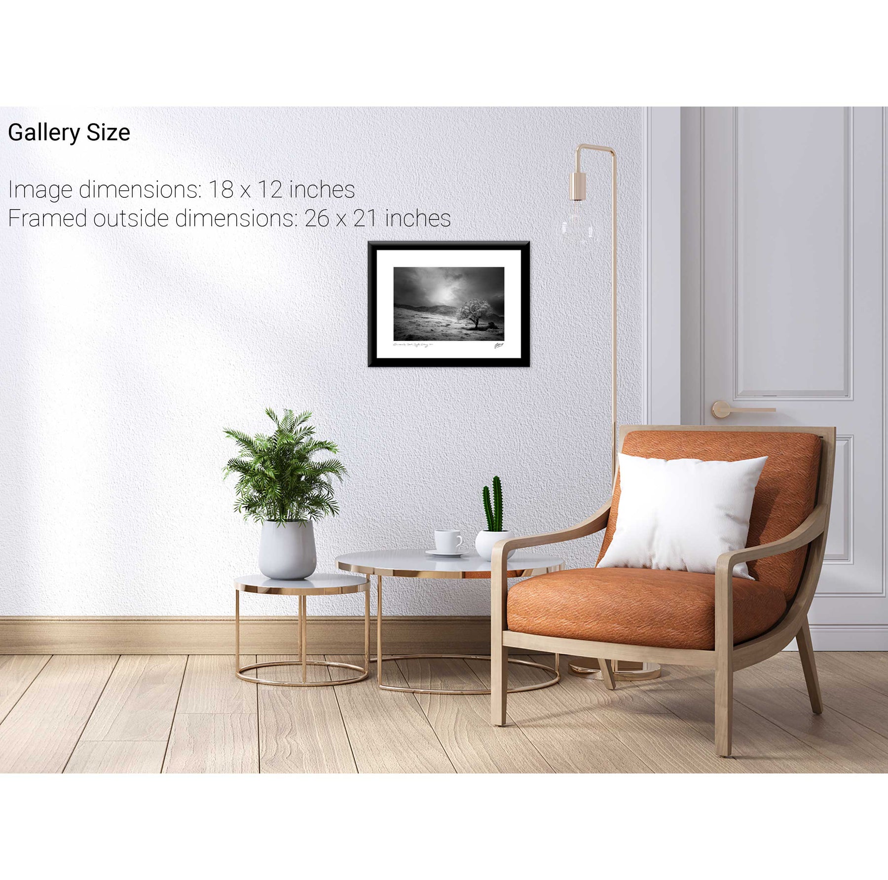
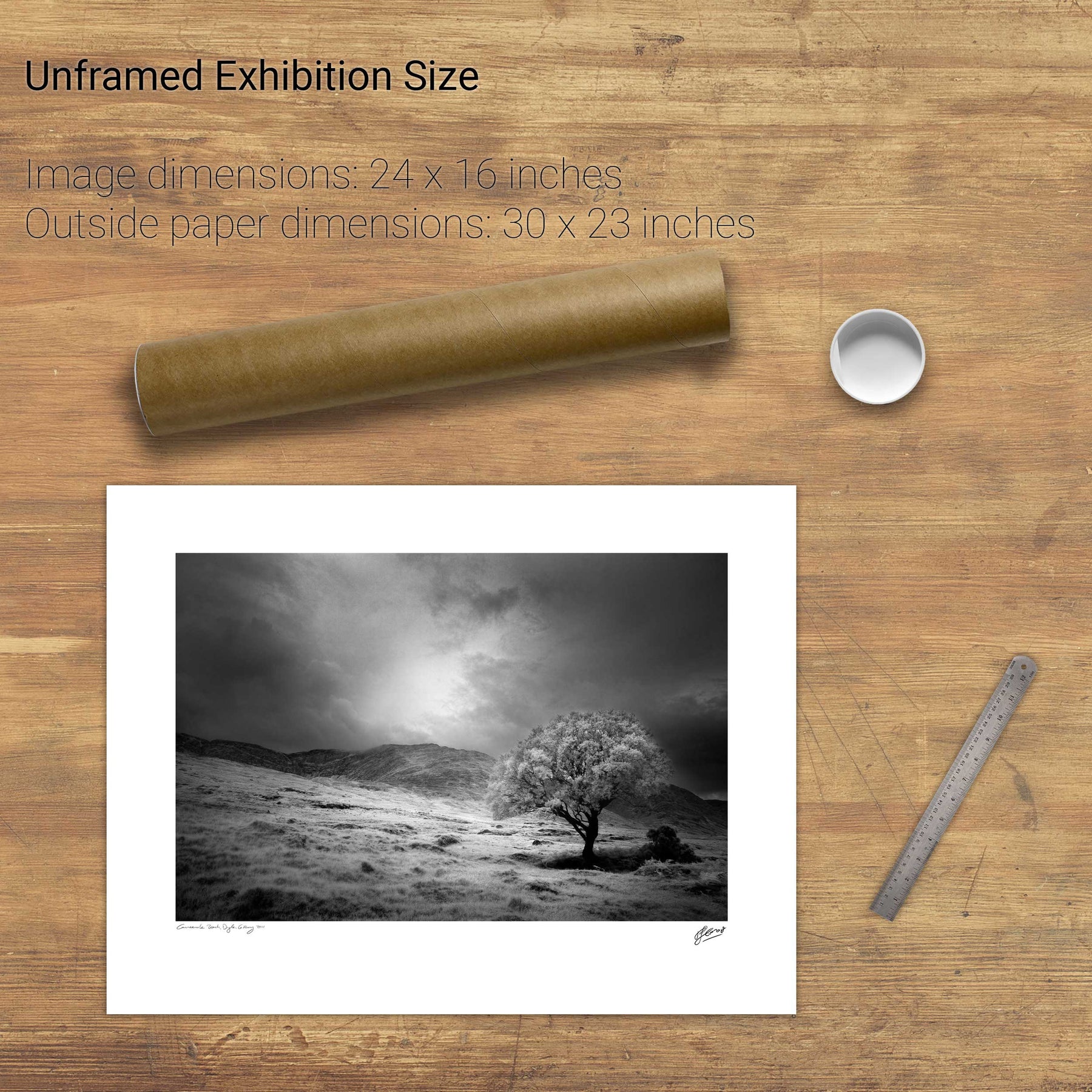
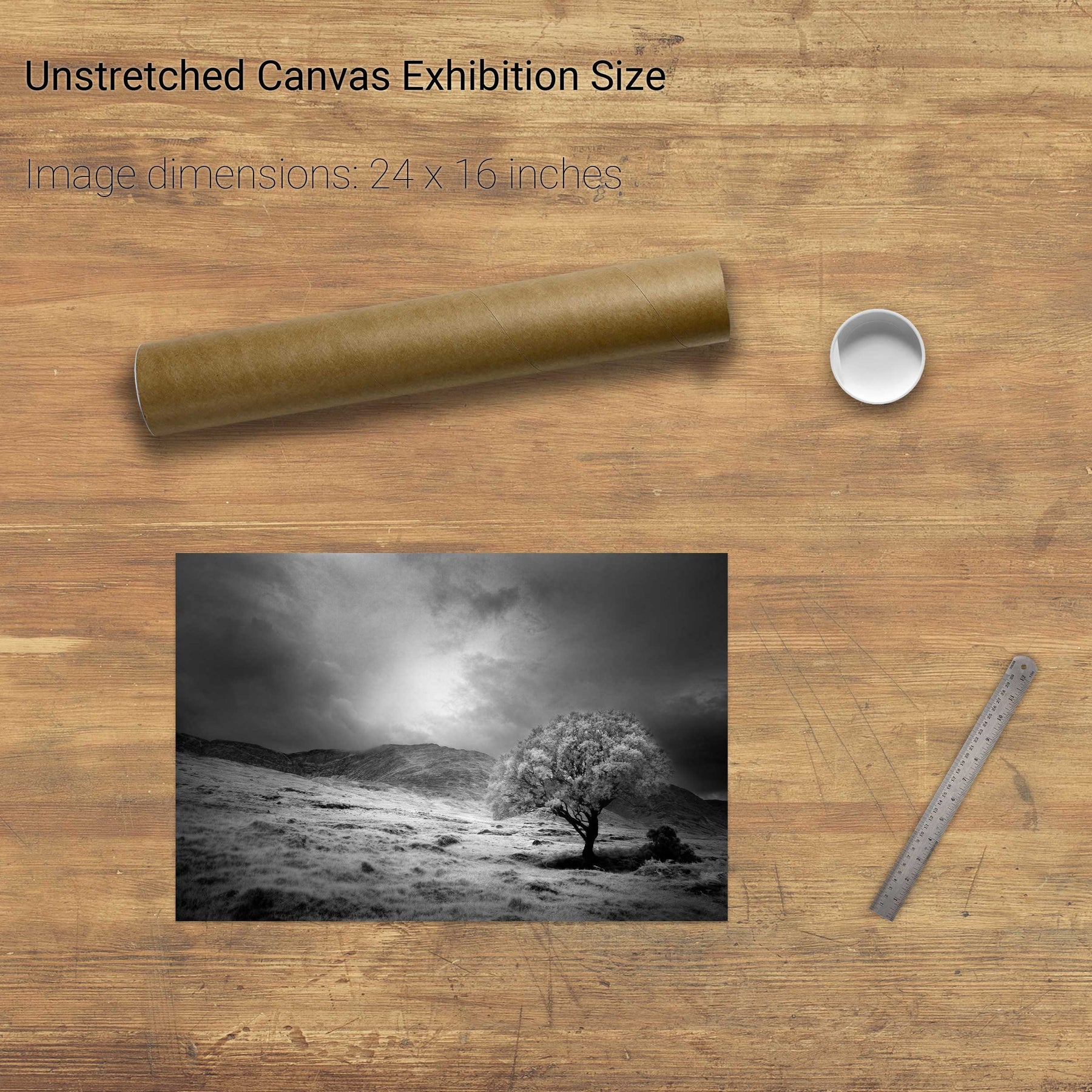
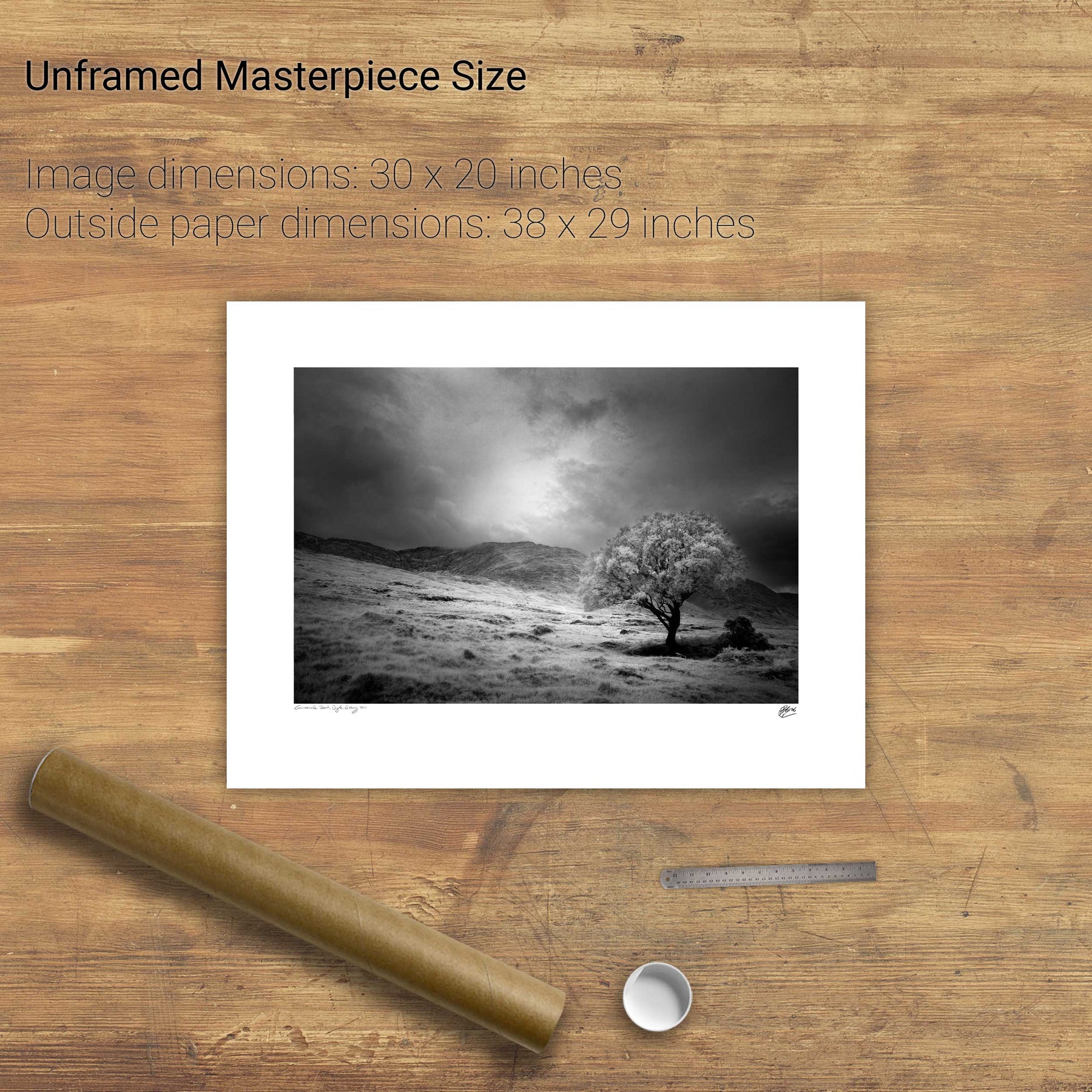
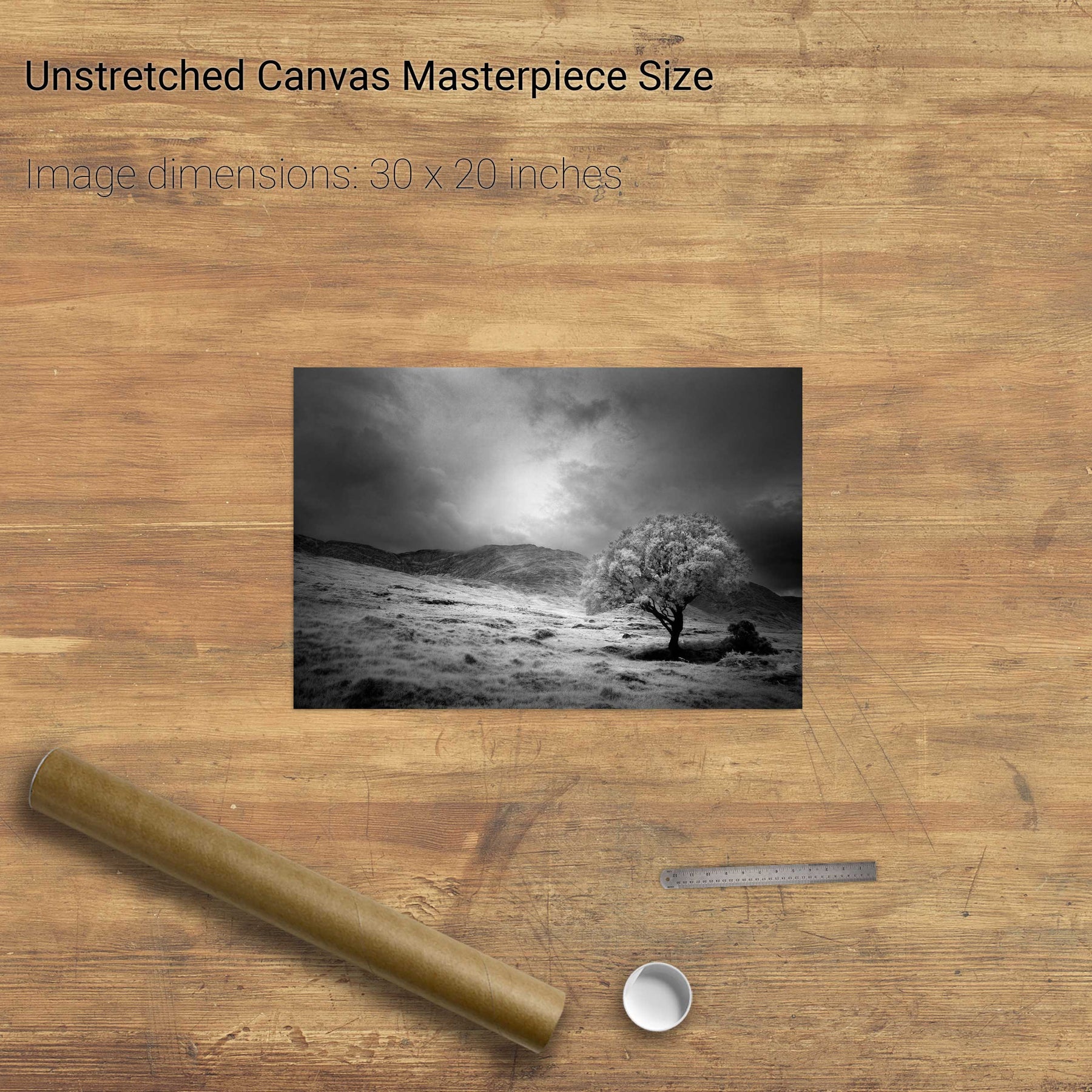
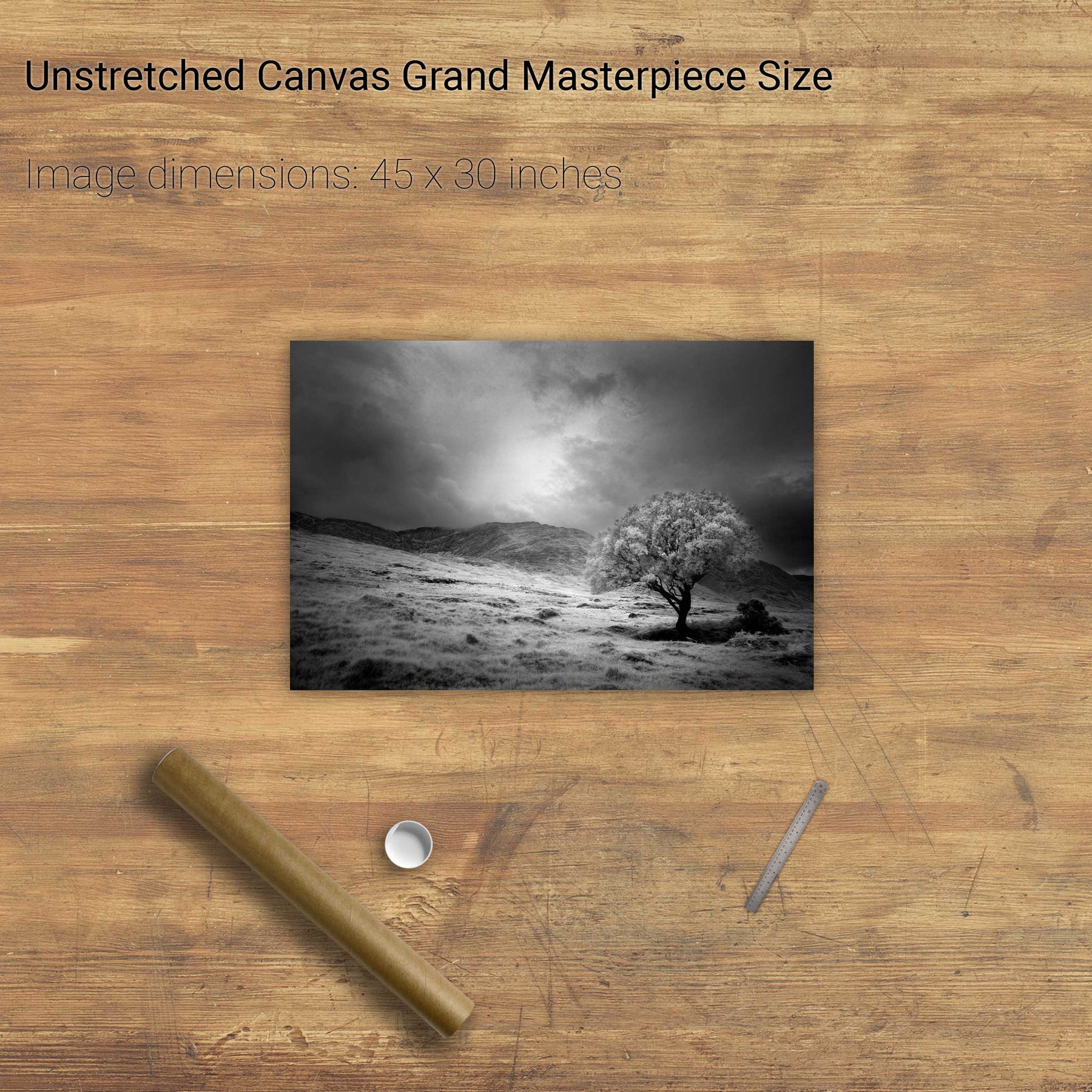
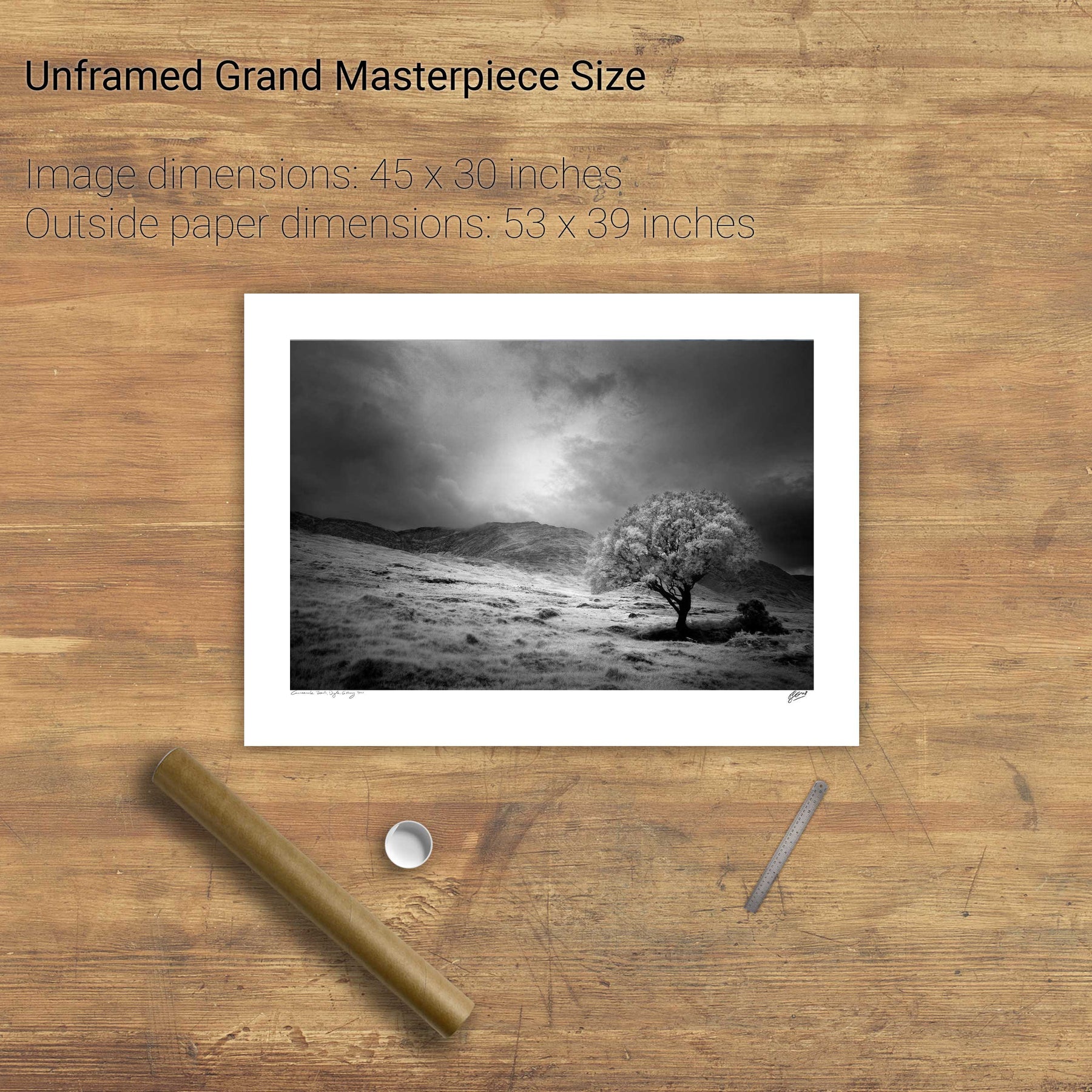
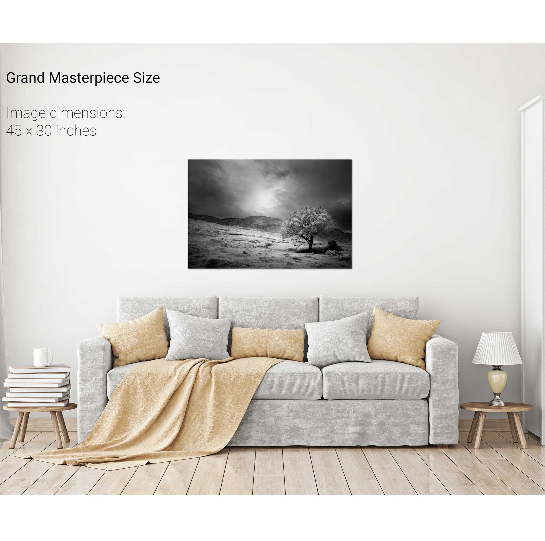
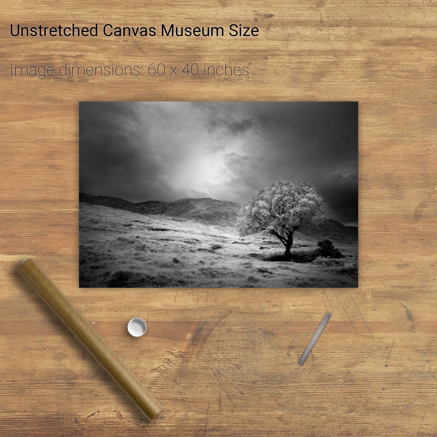
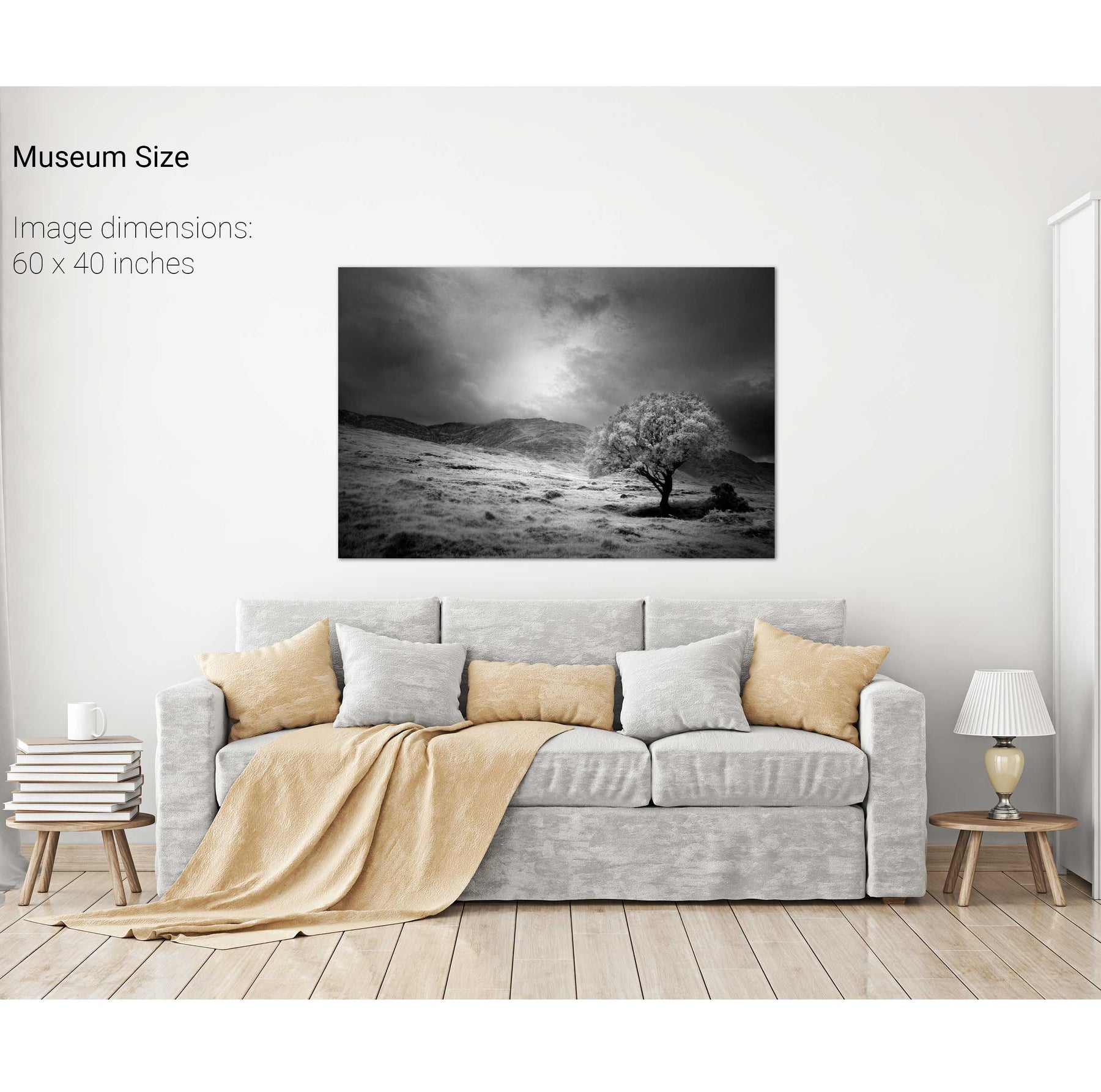
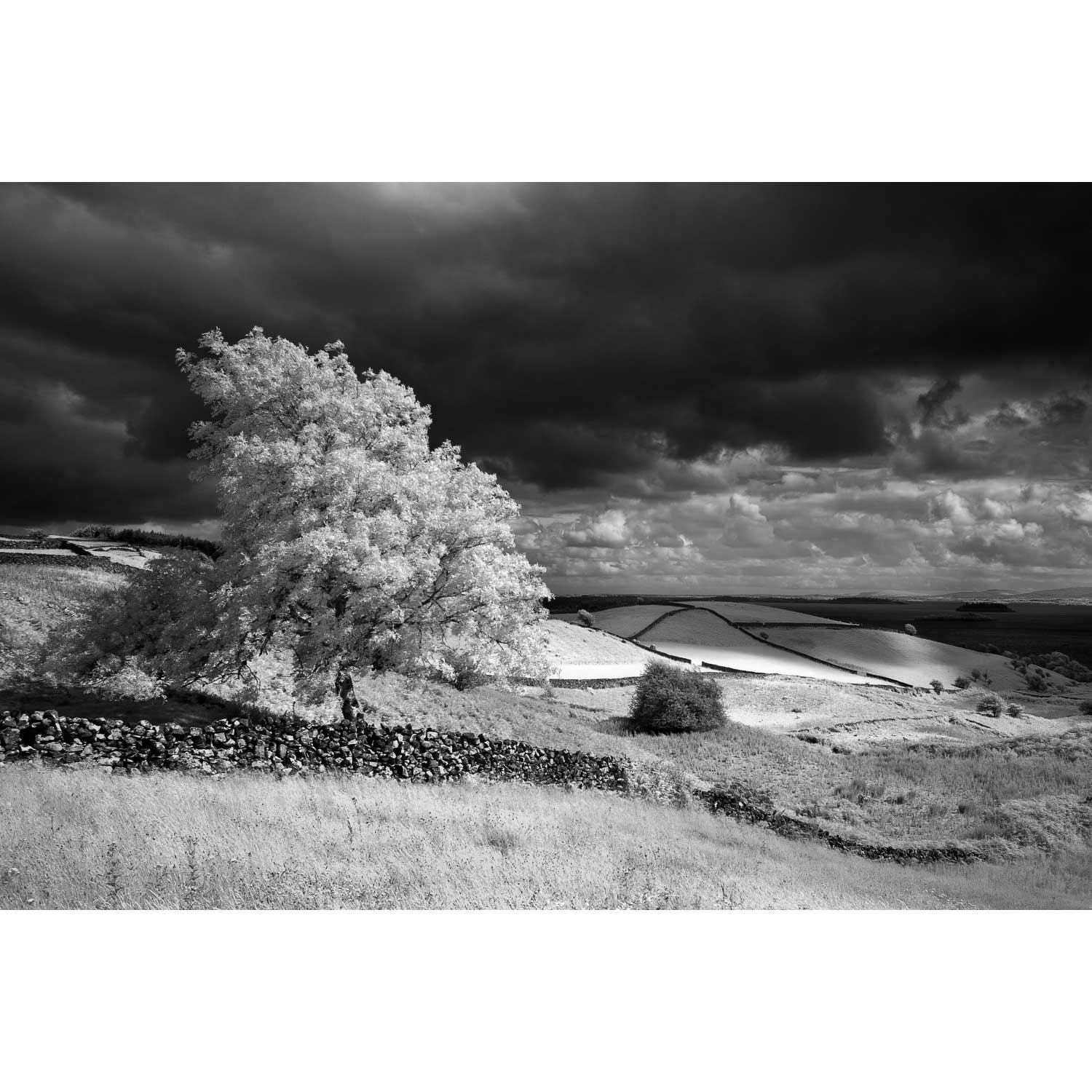
Lone Tree, Partry Mountains, Co. Mayo
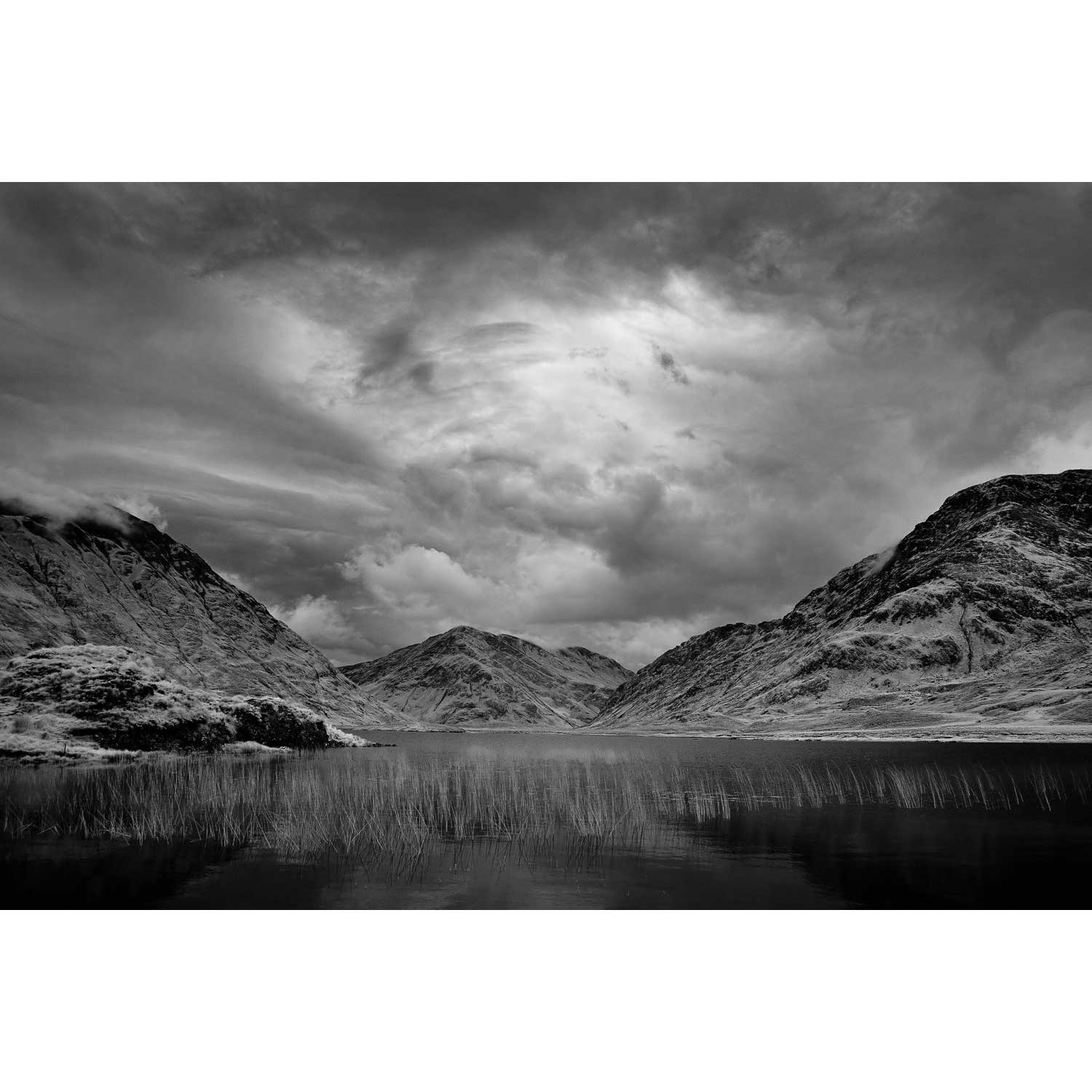
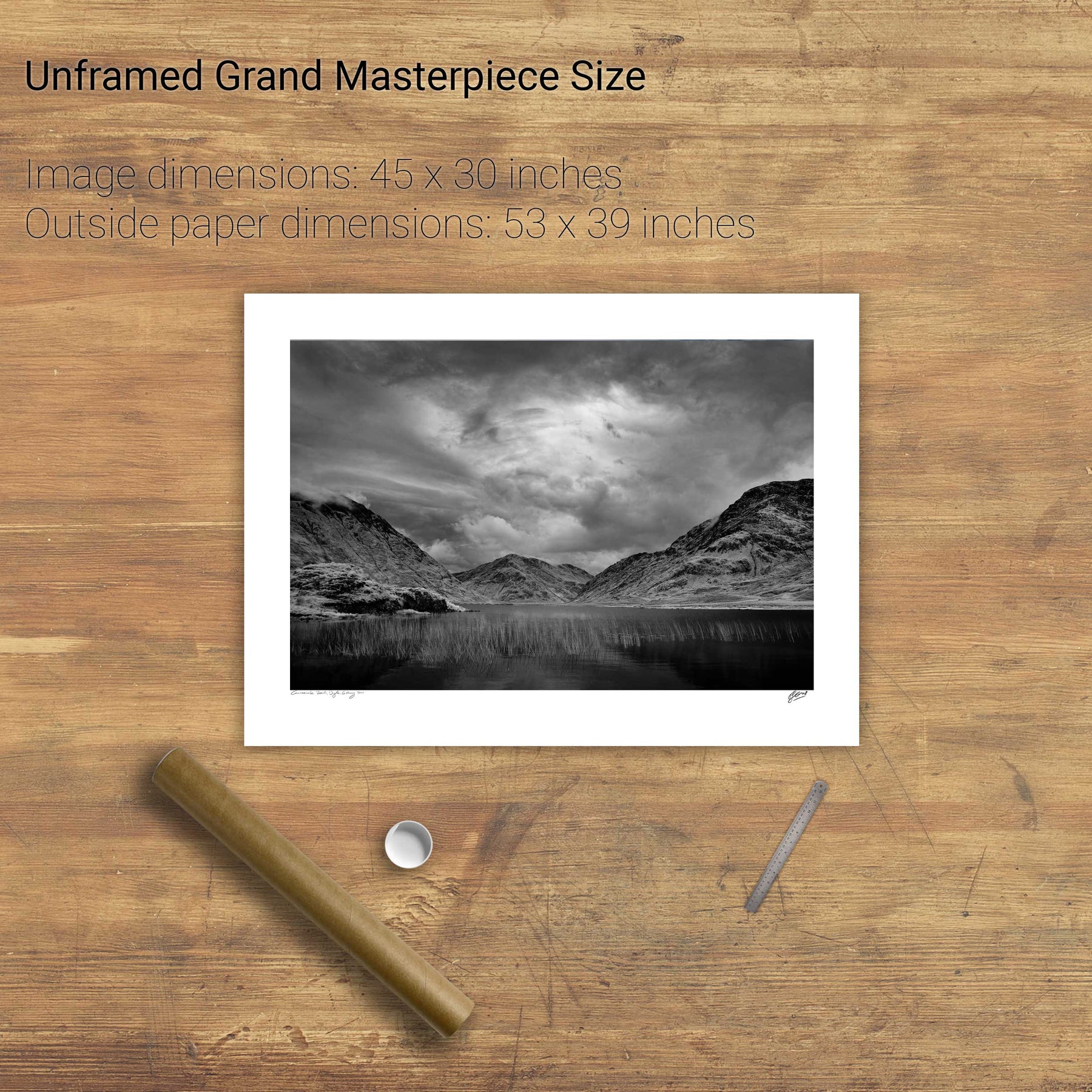
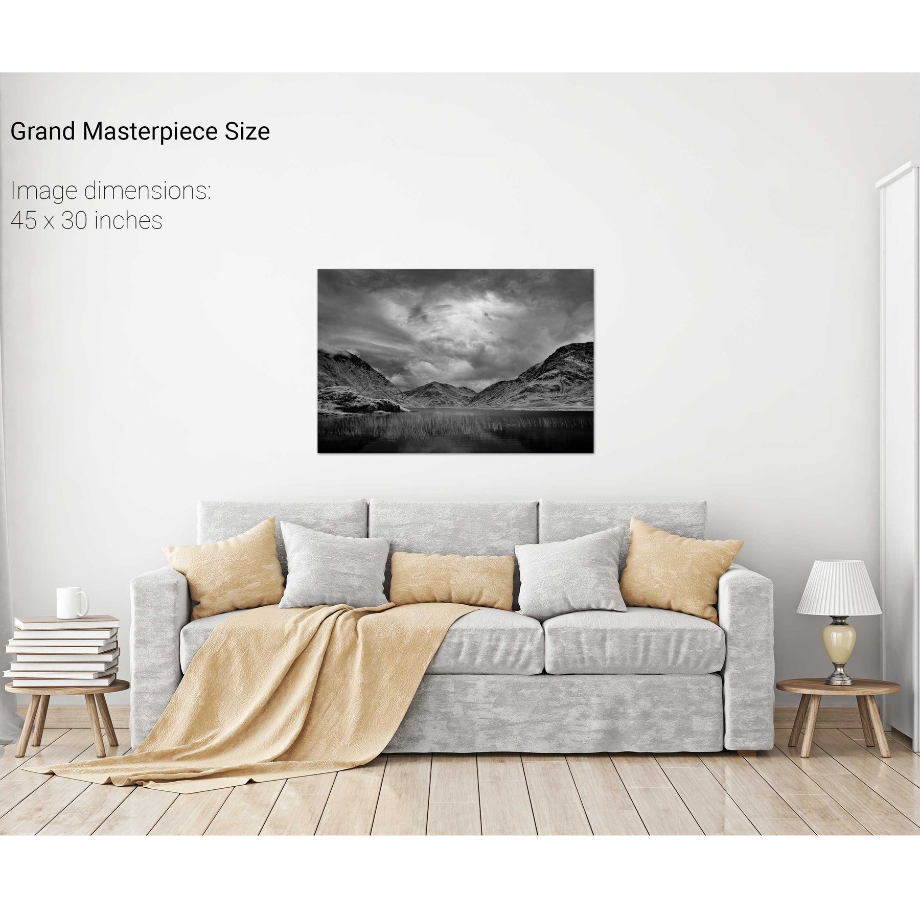
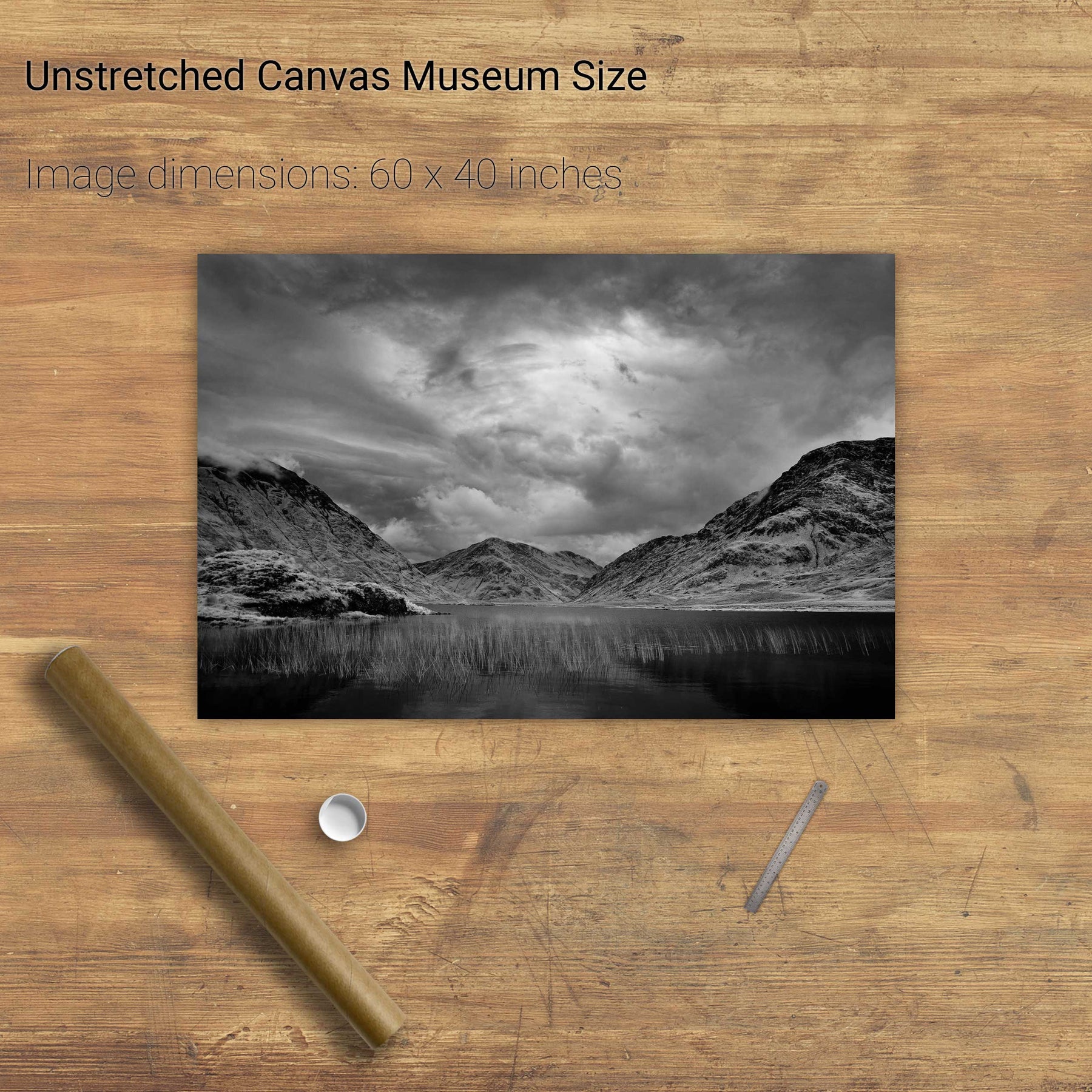
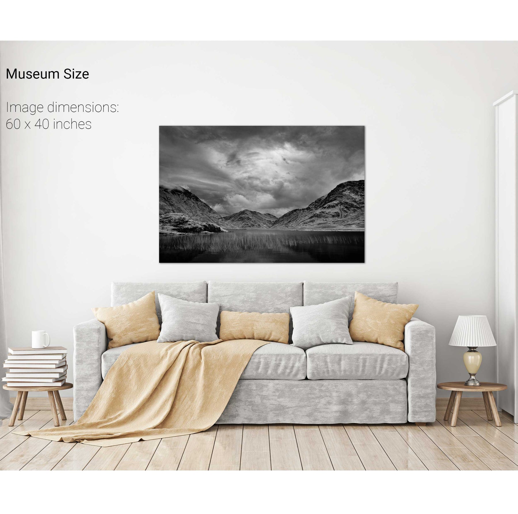
Doo Lough, Co. Mayo
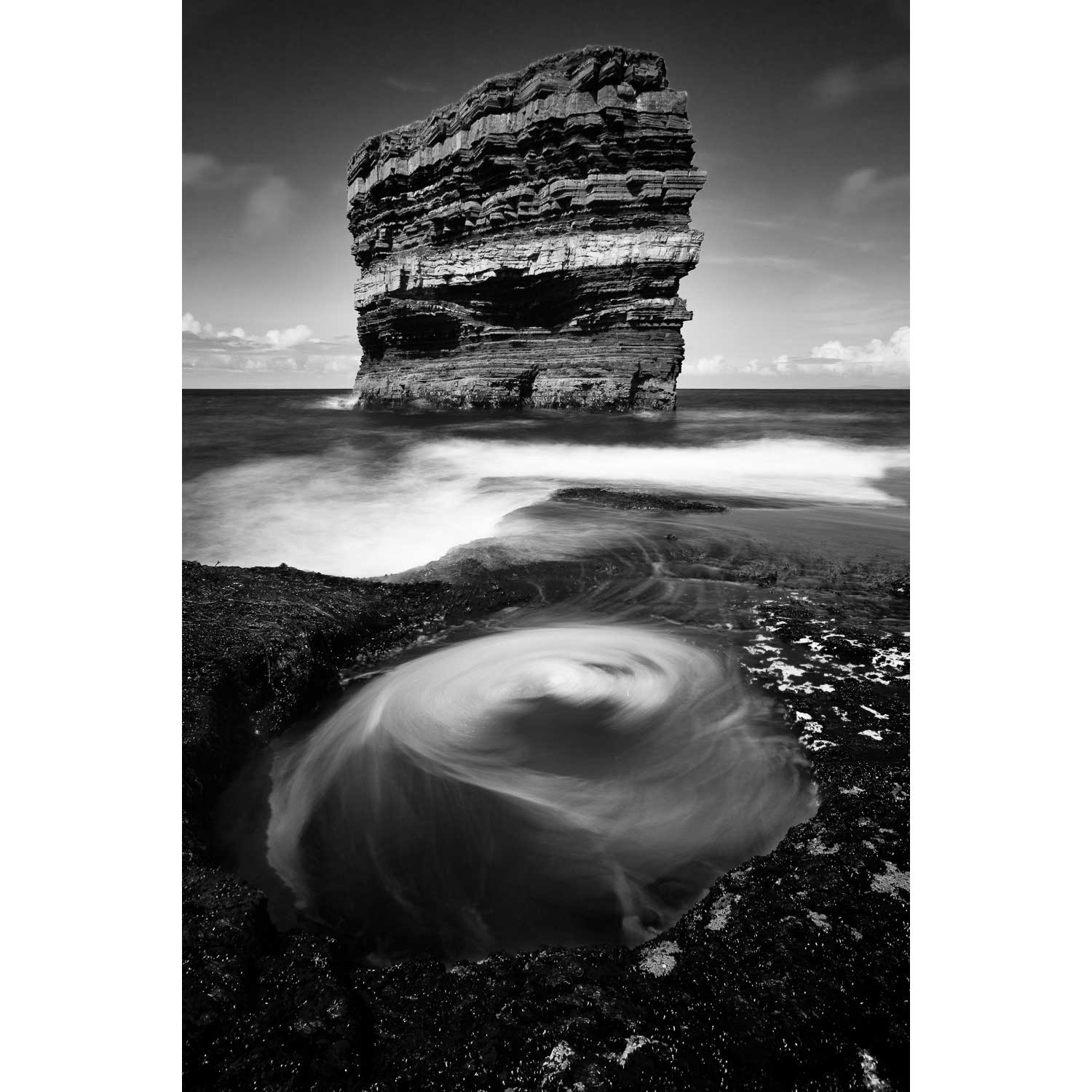
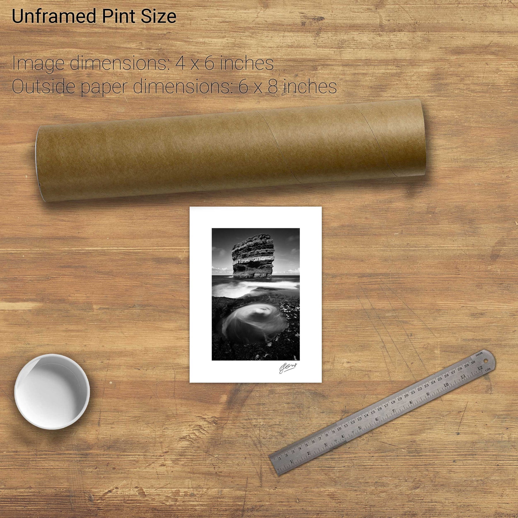
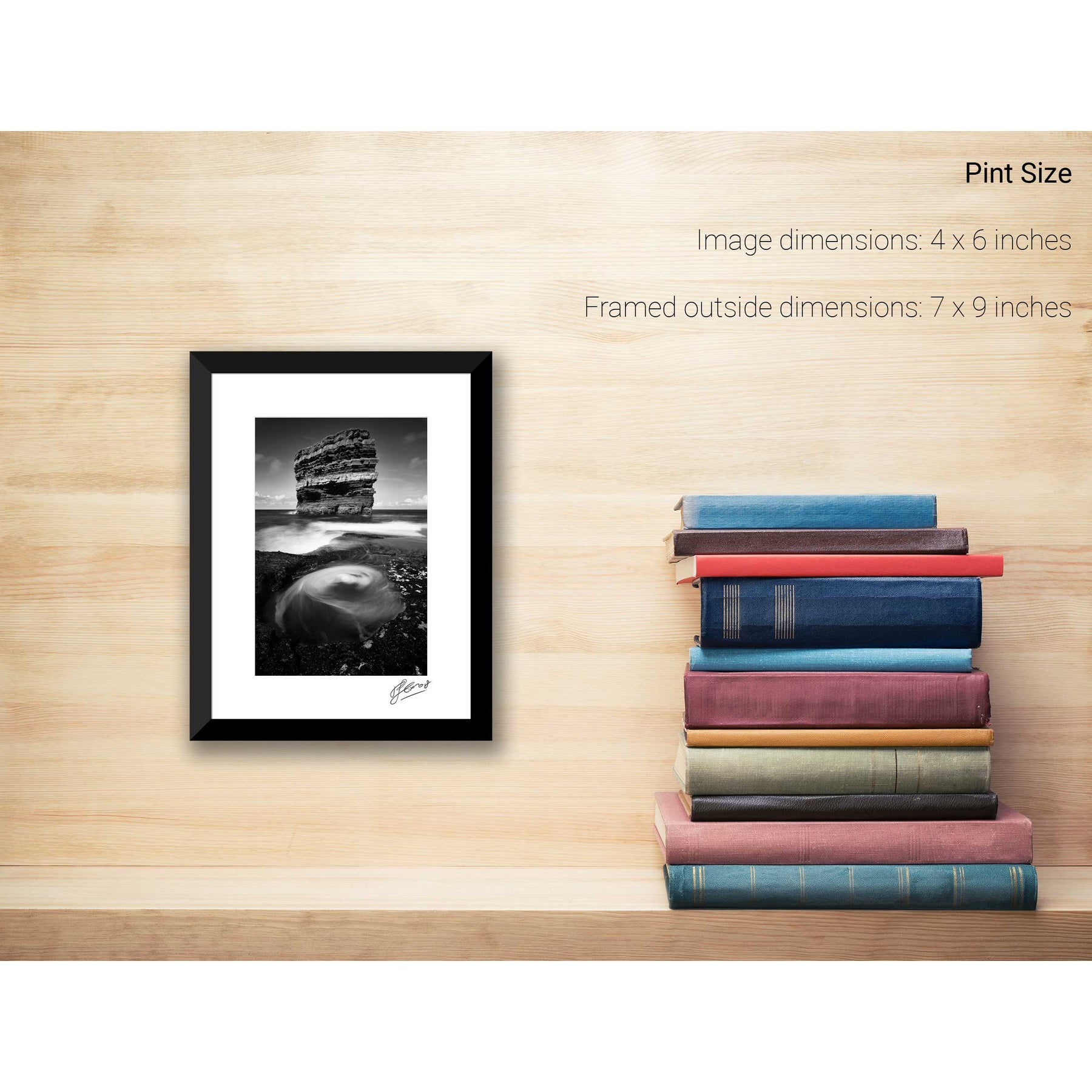
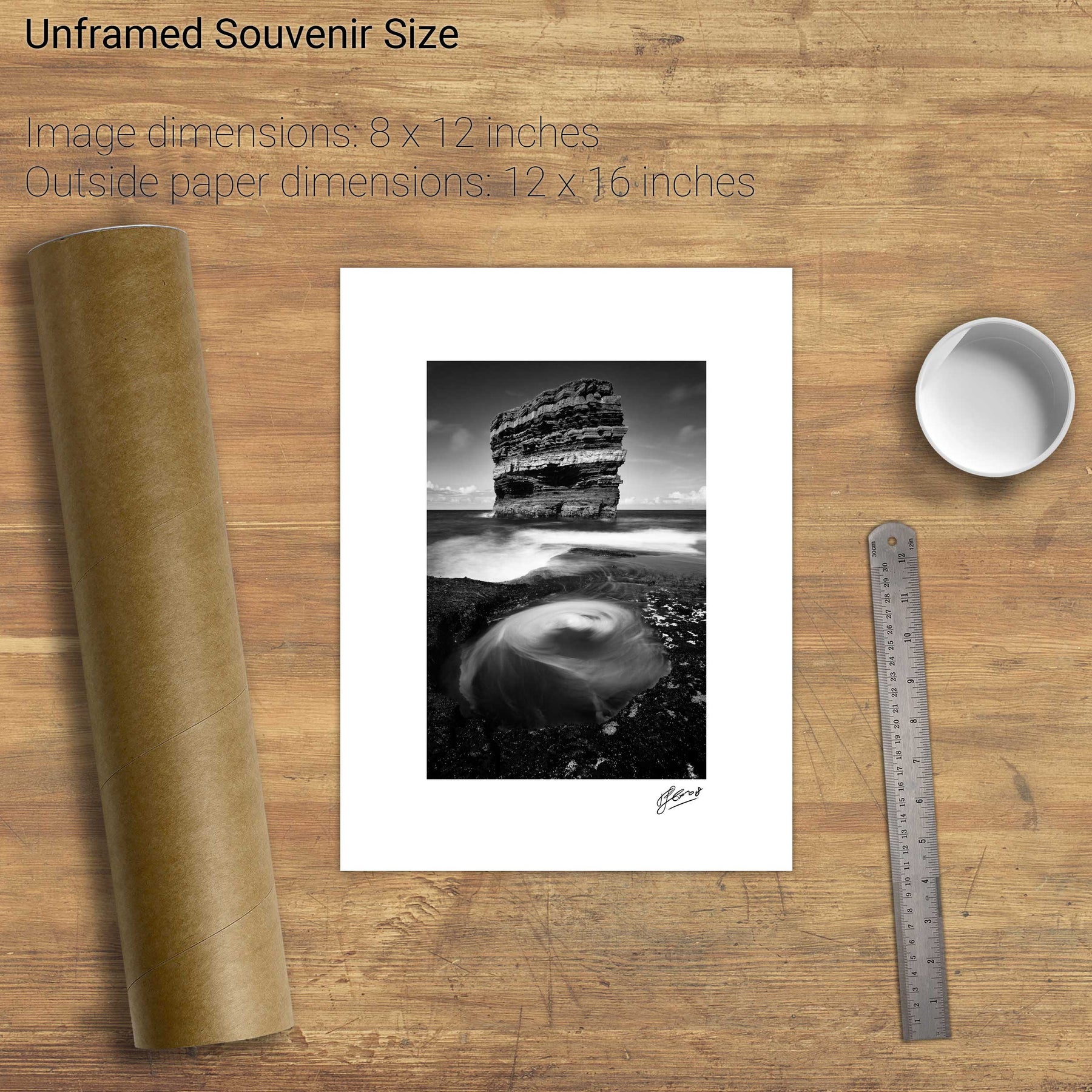
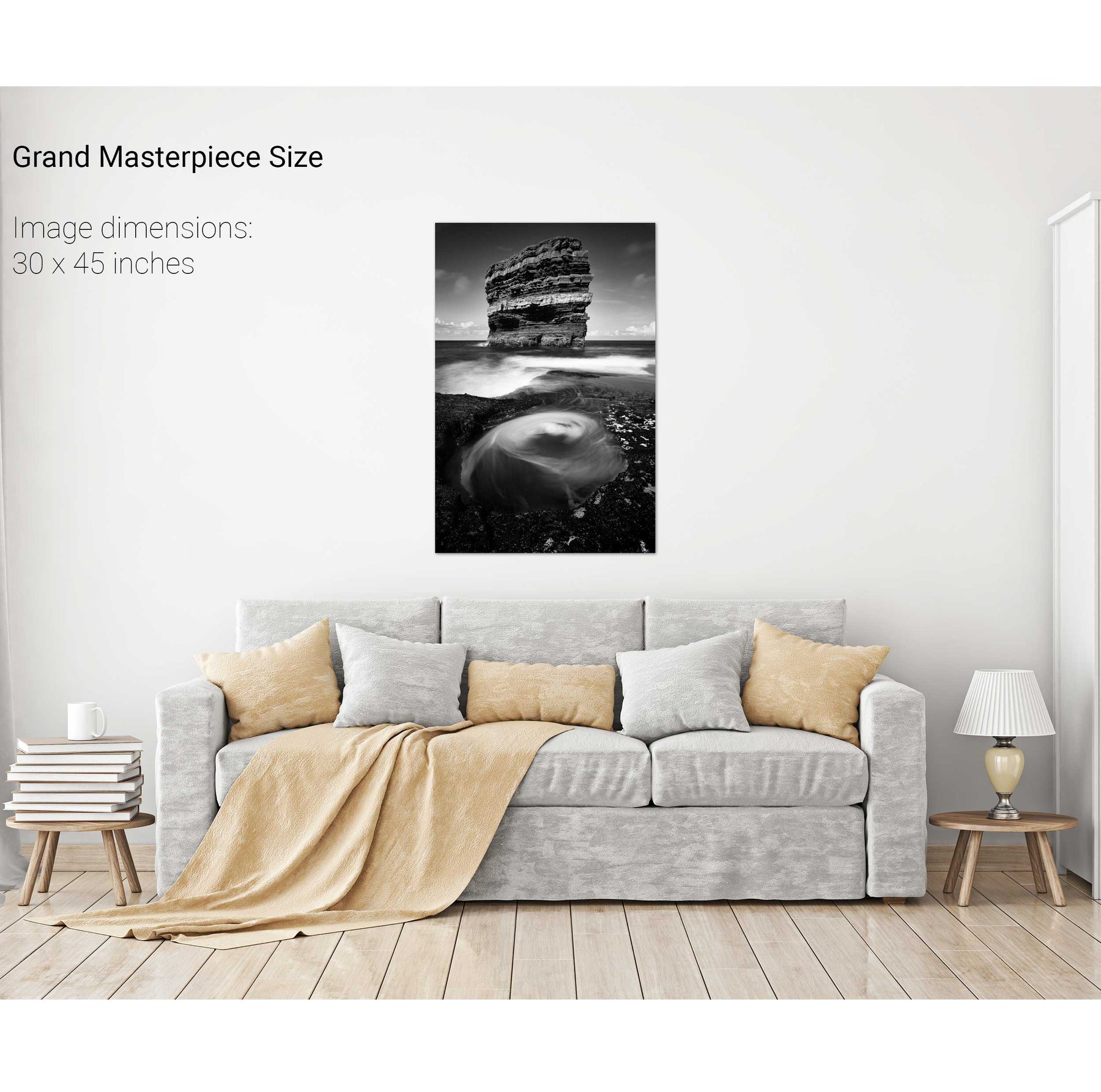
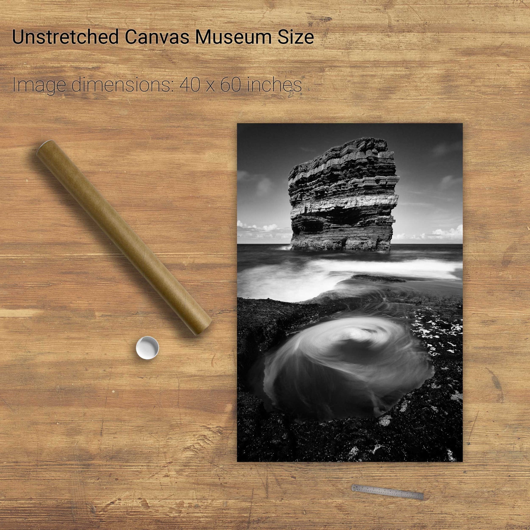
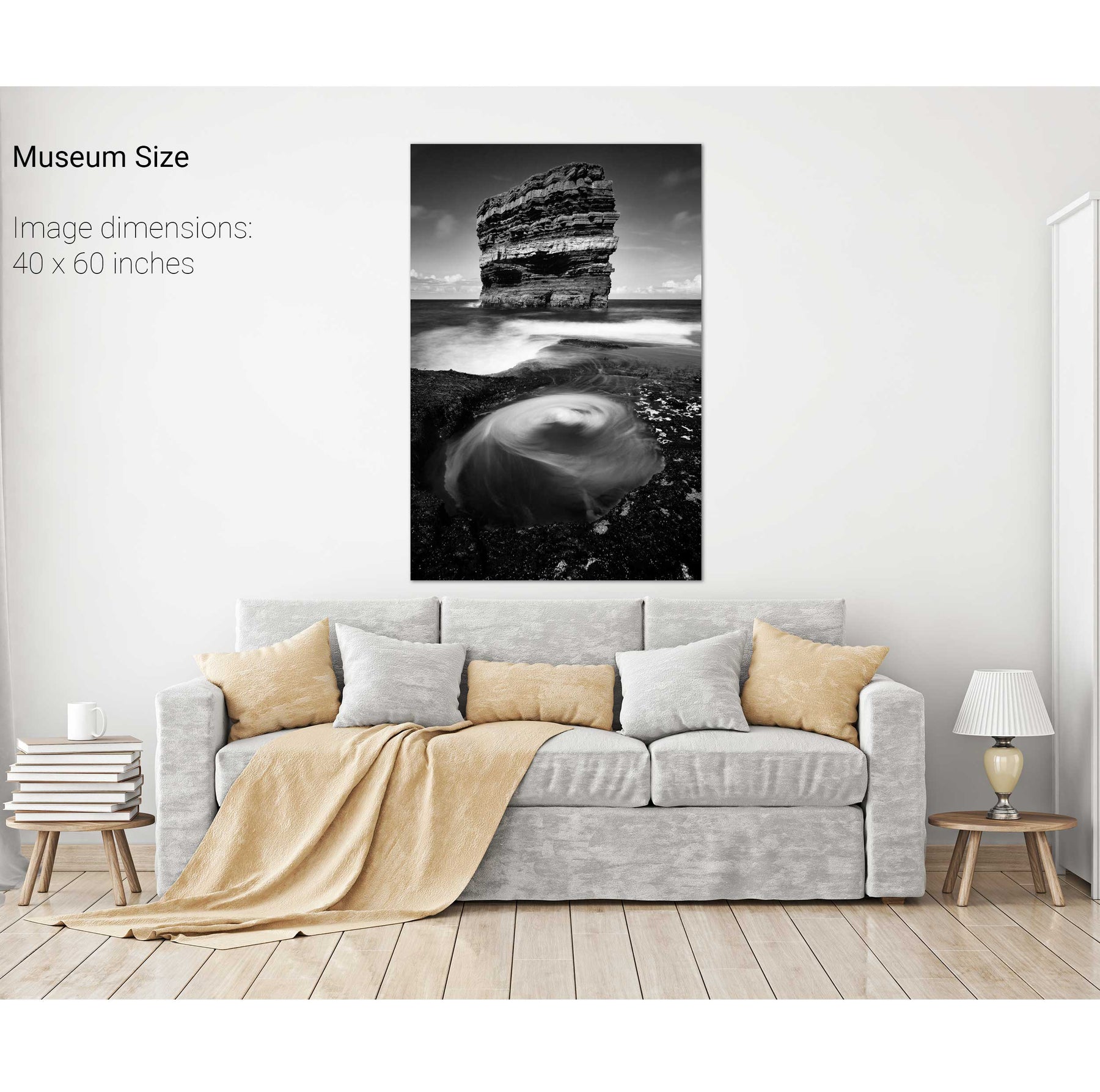
Dún Briste, Downpatrick Head, Co. Mayo
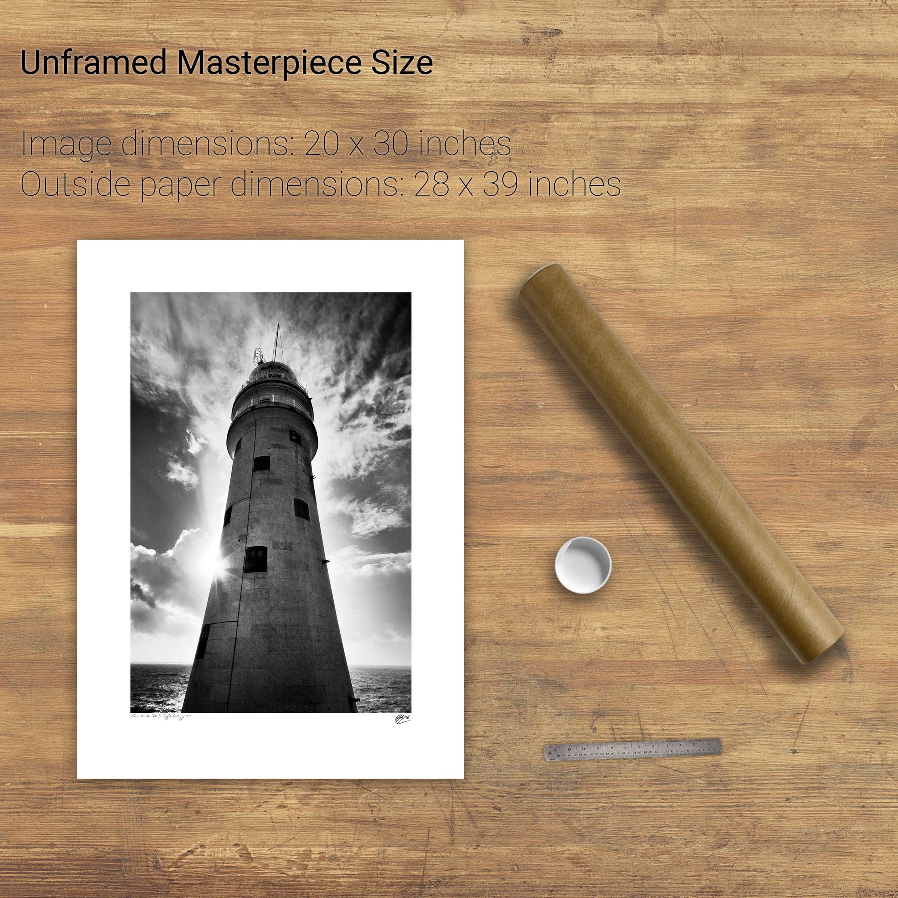
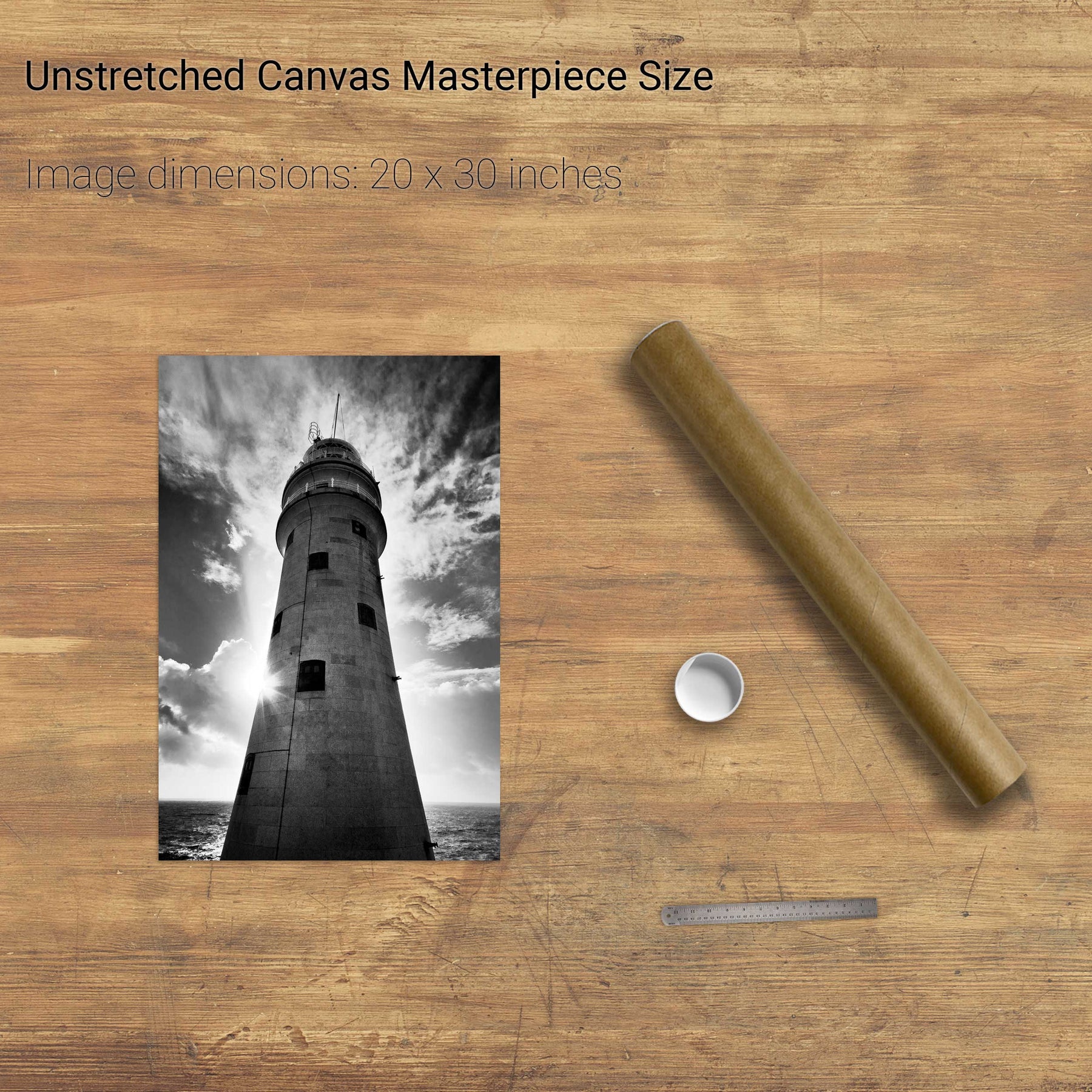
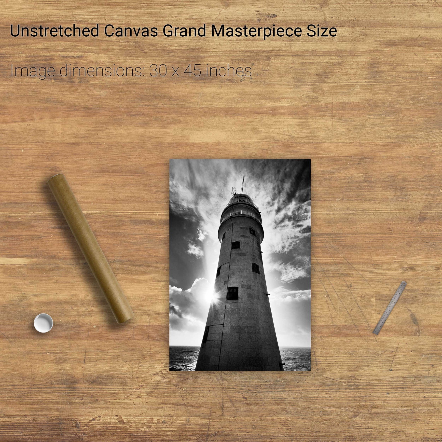
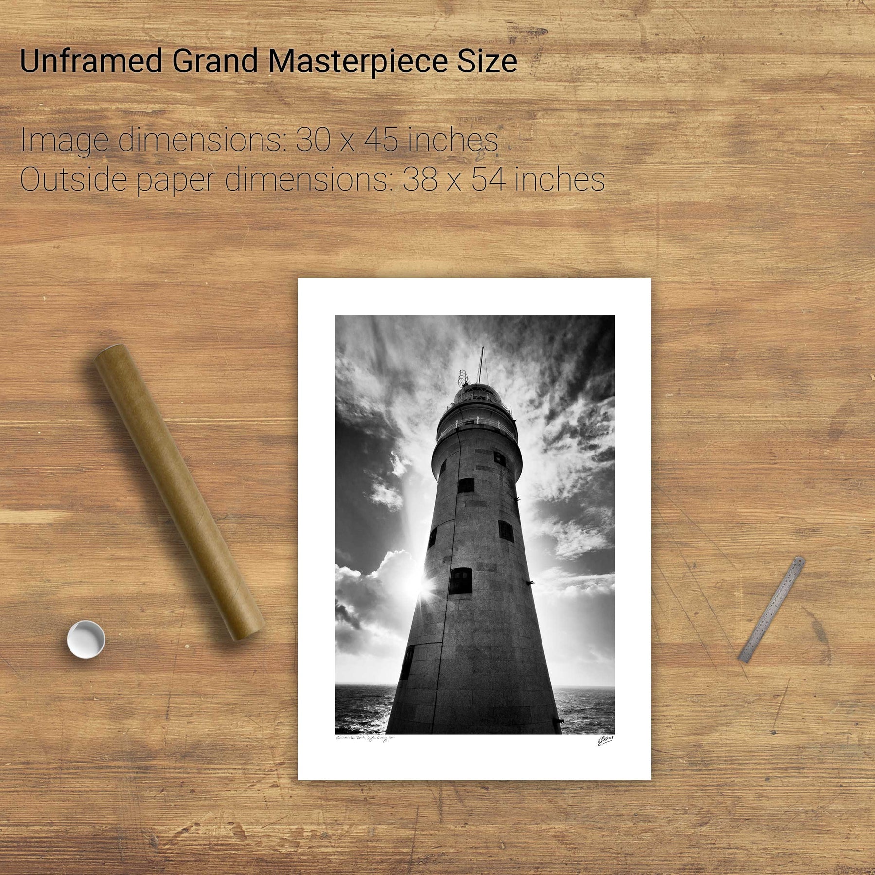
Sunburst, the Fastnet Lighthouse, Co. Cork
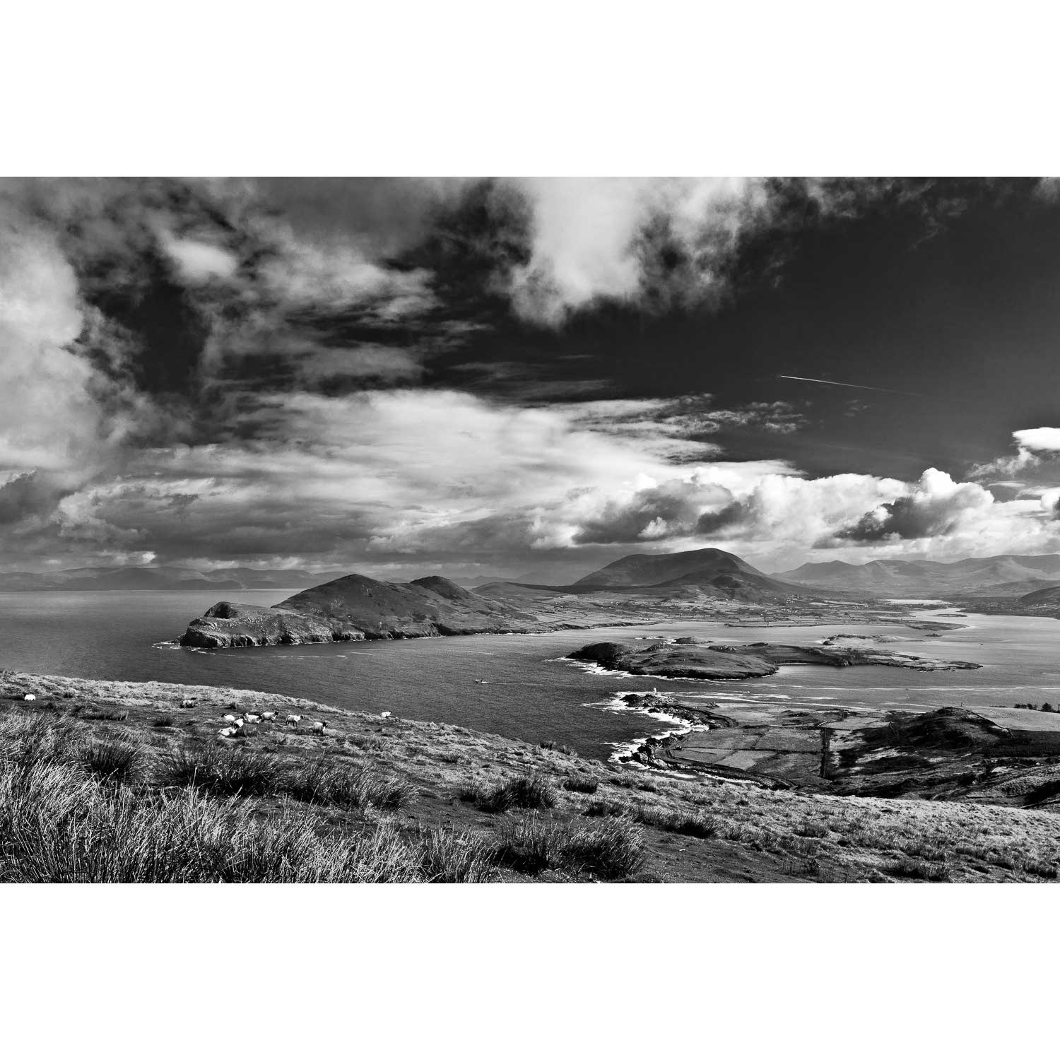
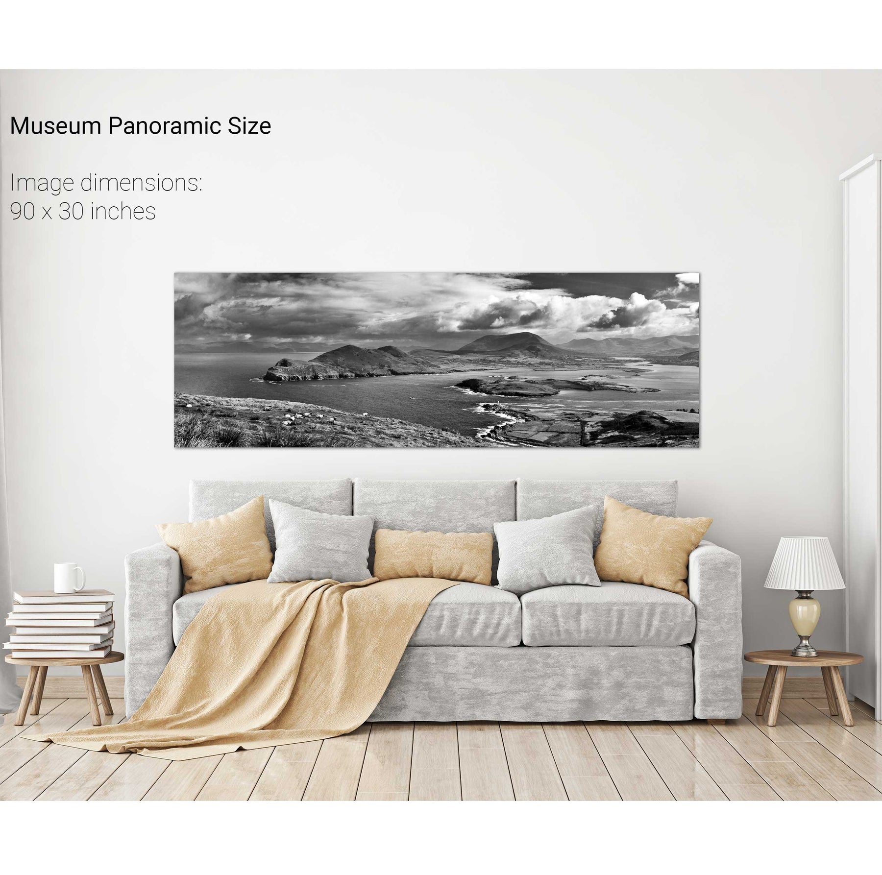
Doulus Head & Beginish from Valentia Island, Co. Kerry
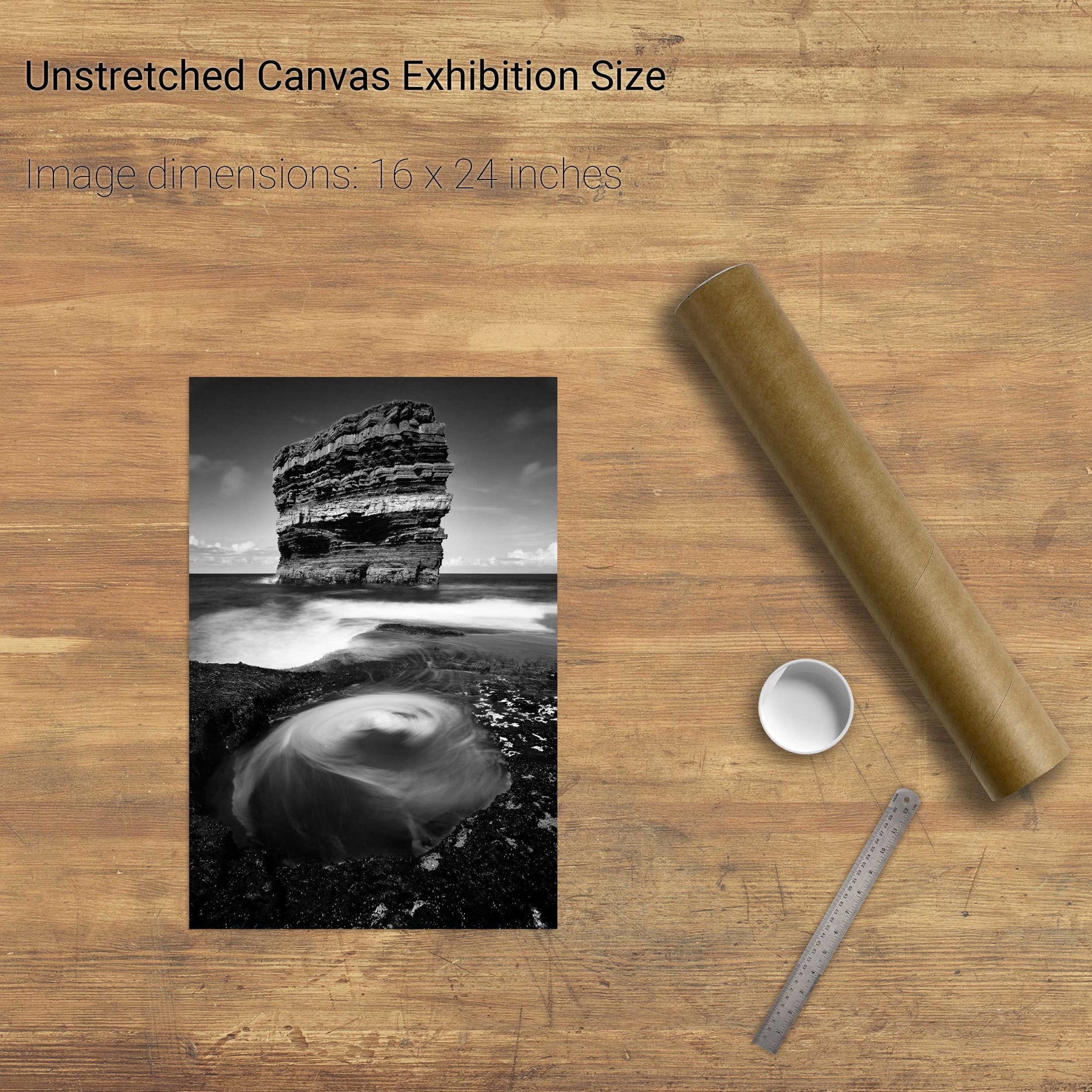
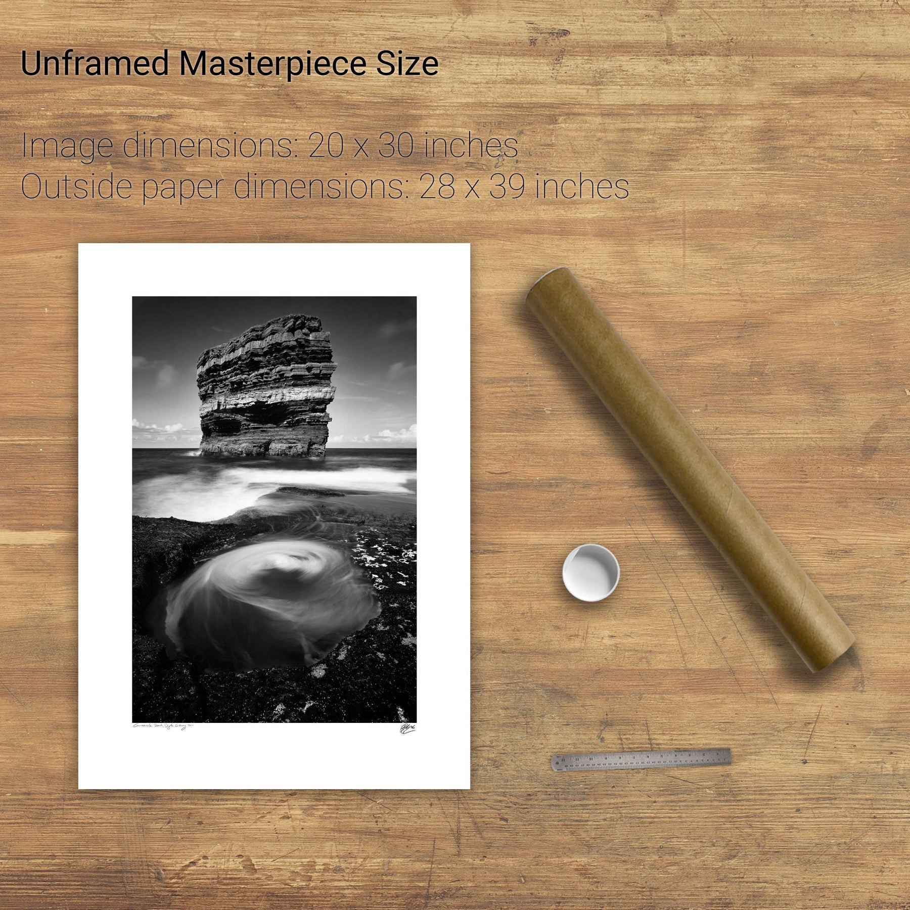
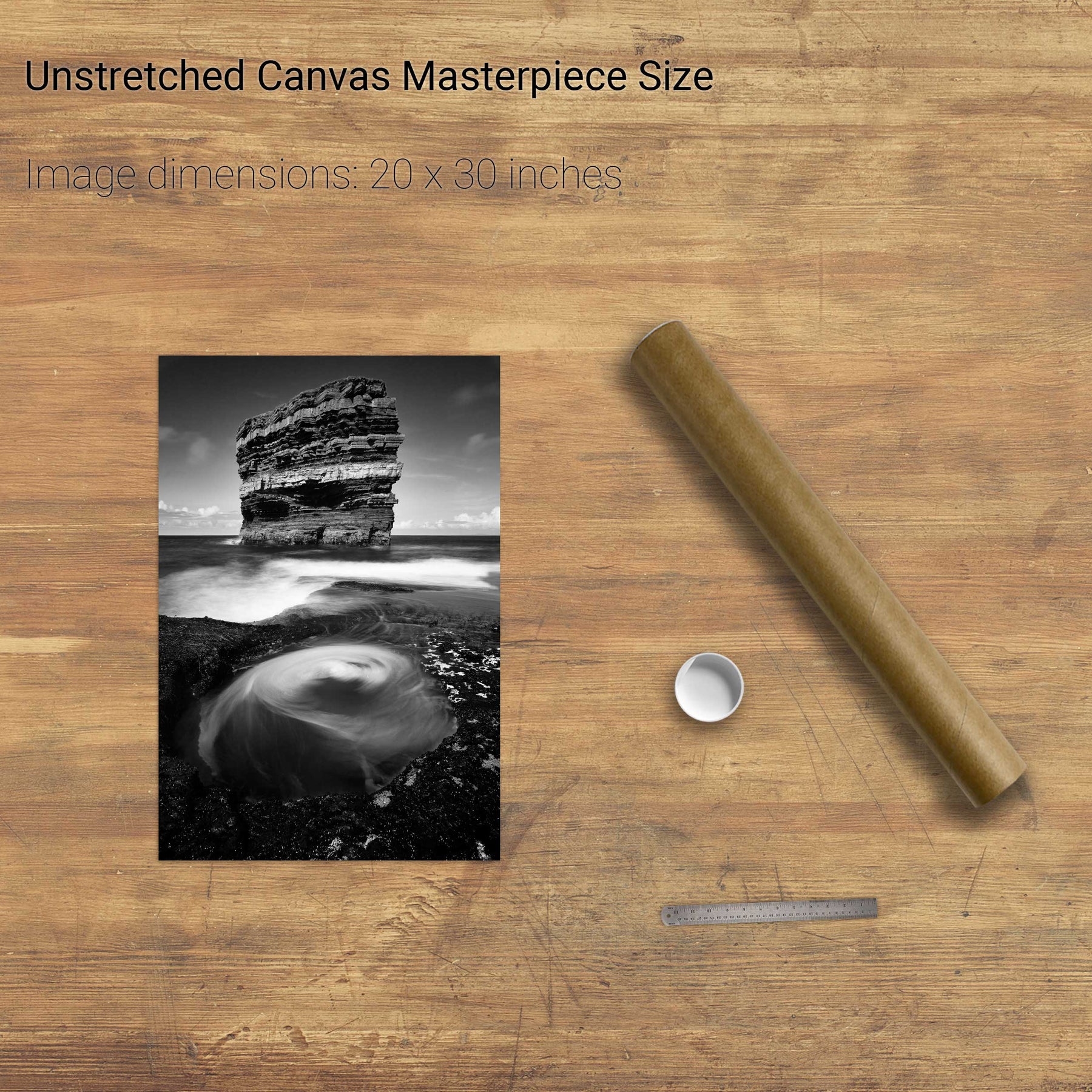
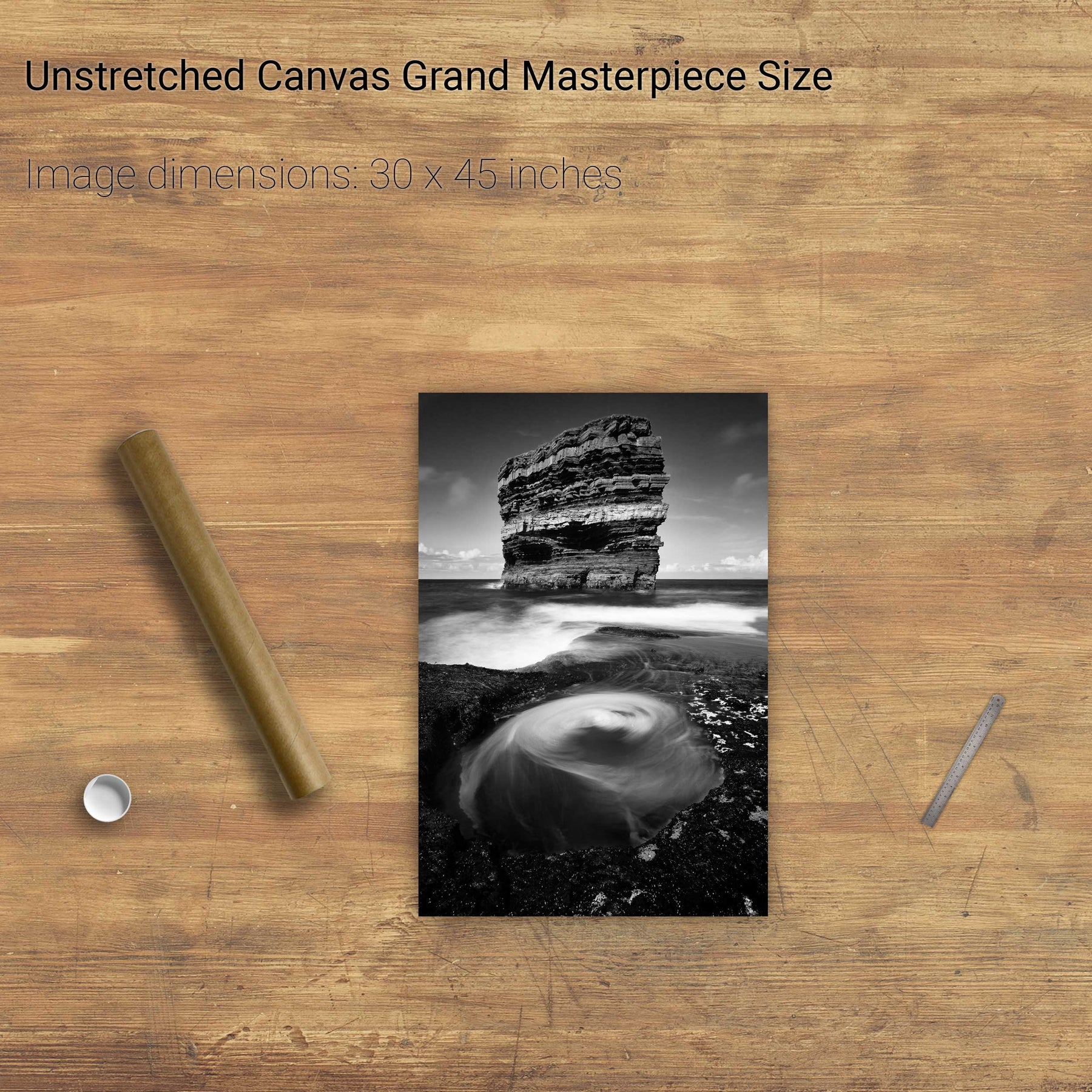
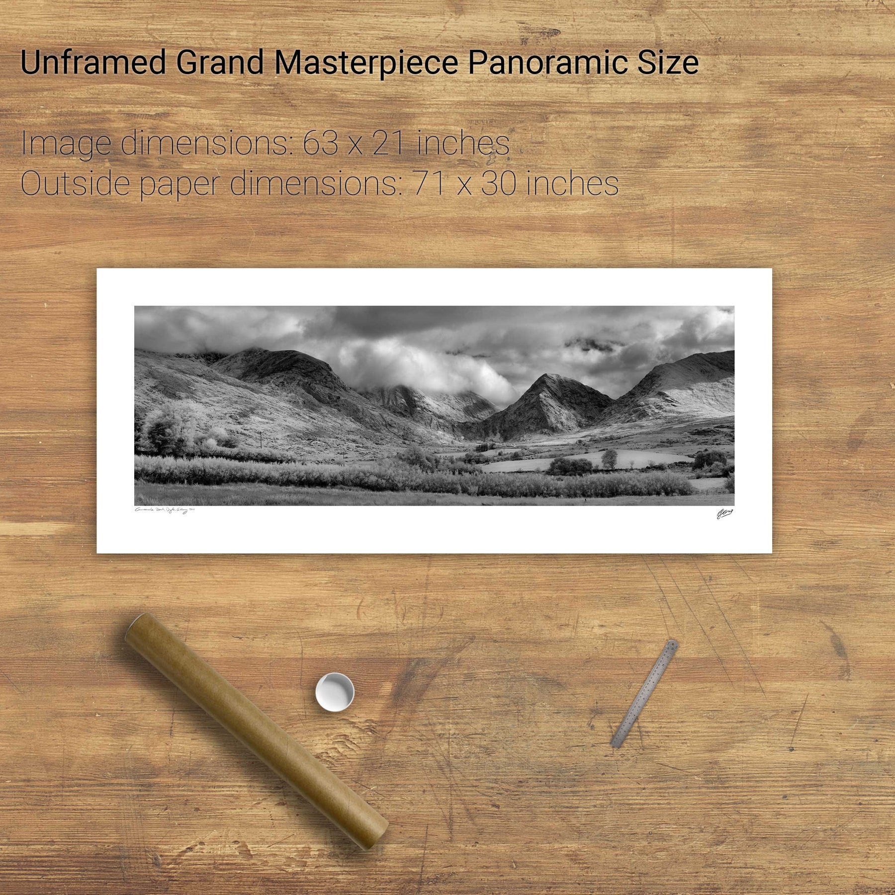
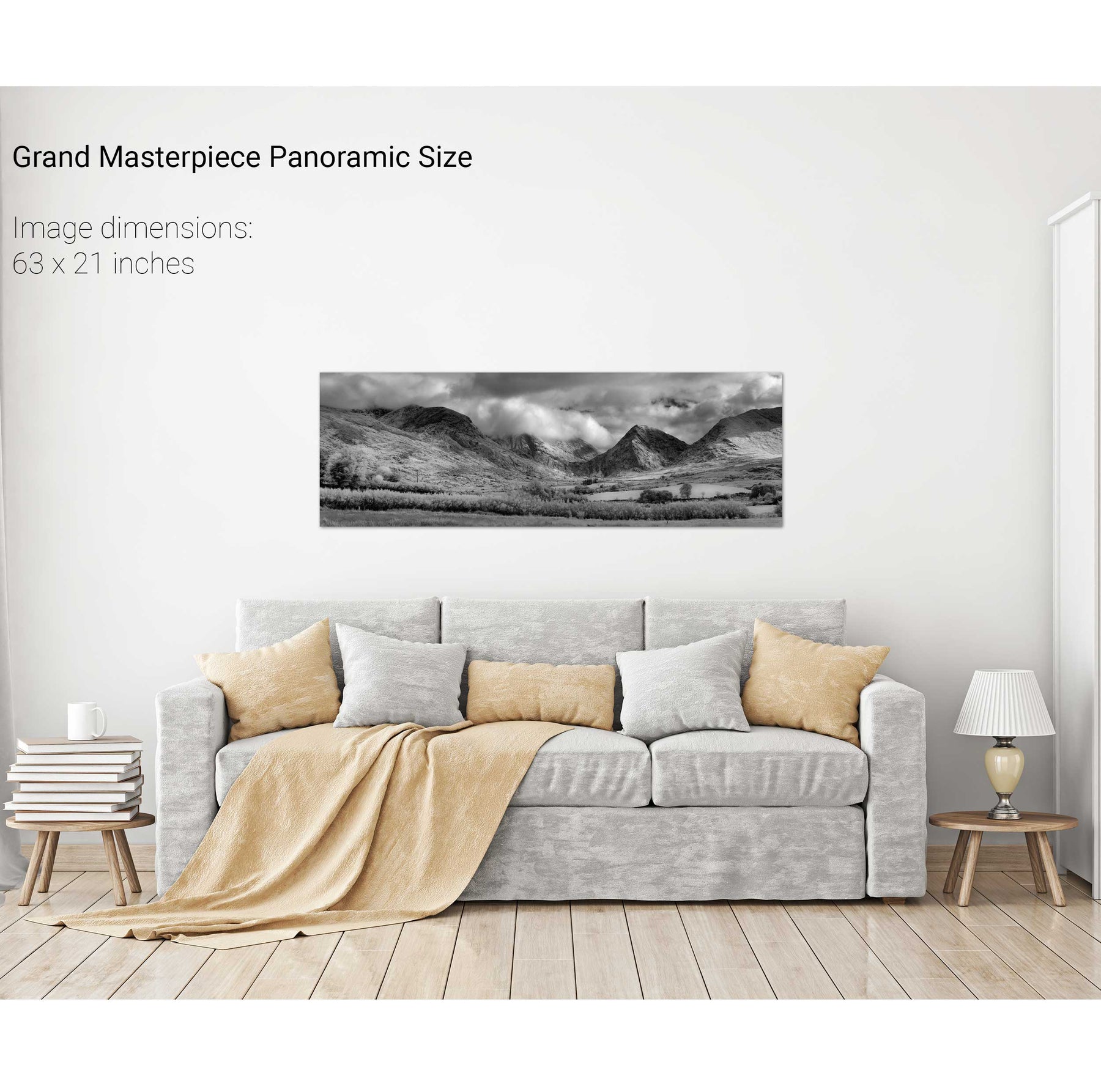
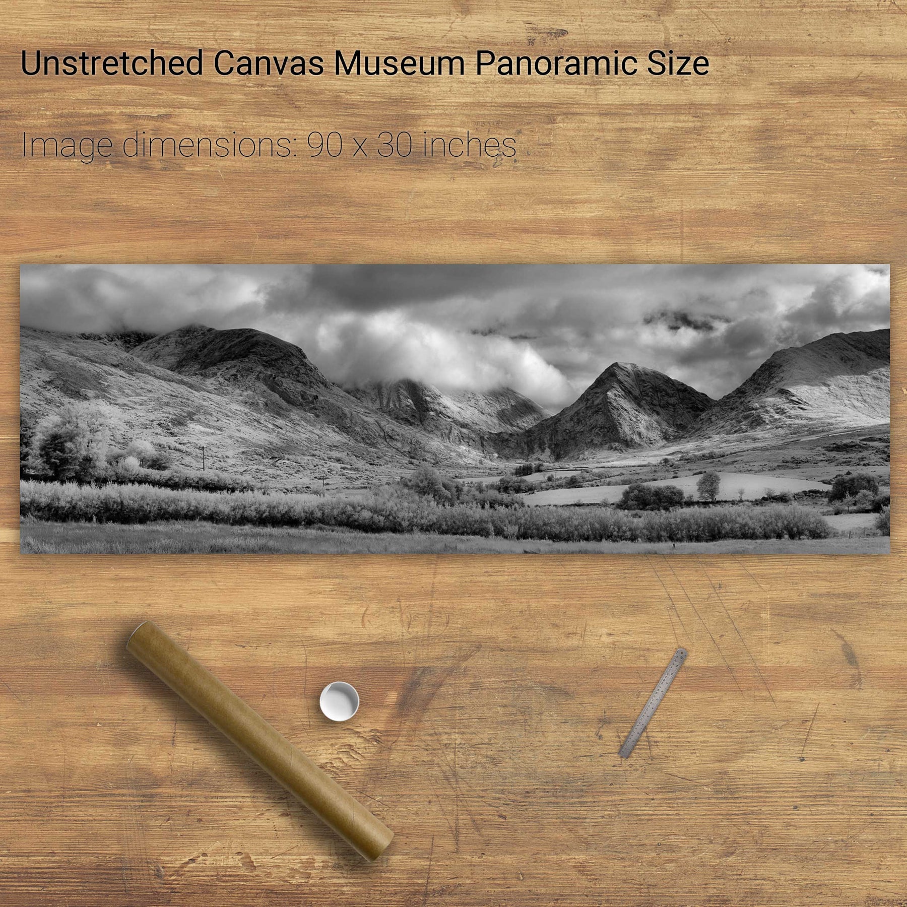
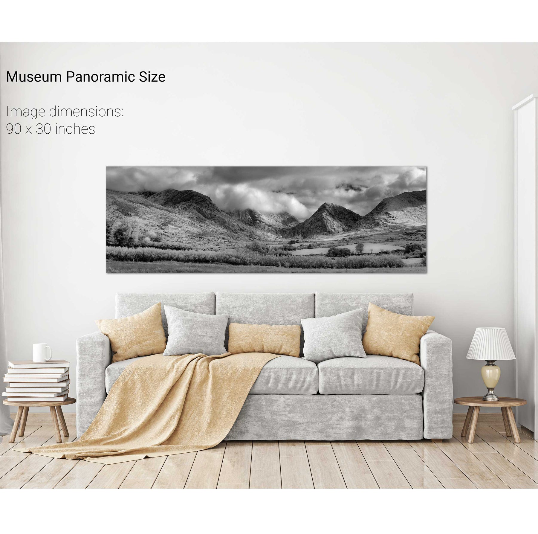
Carrick, Co. Mayo
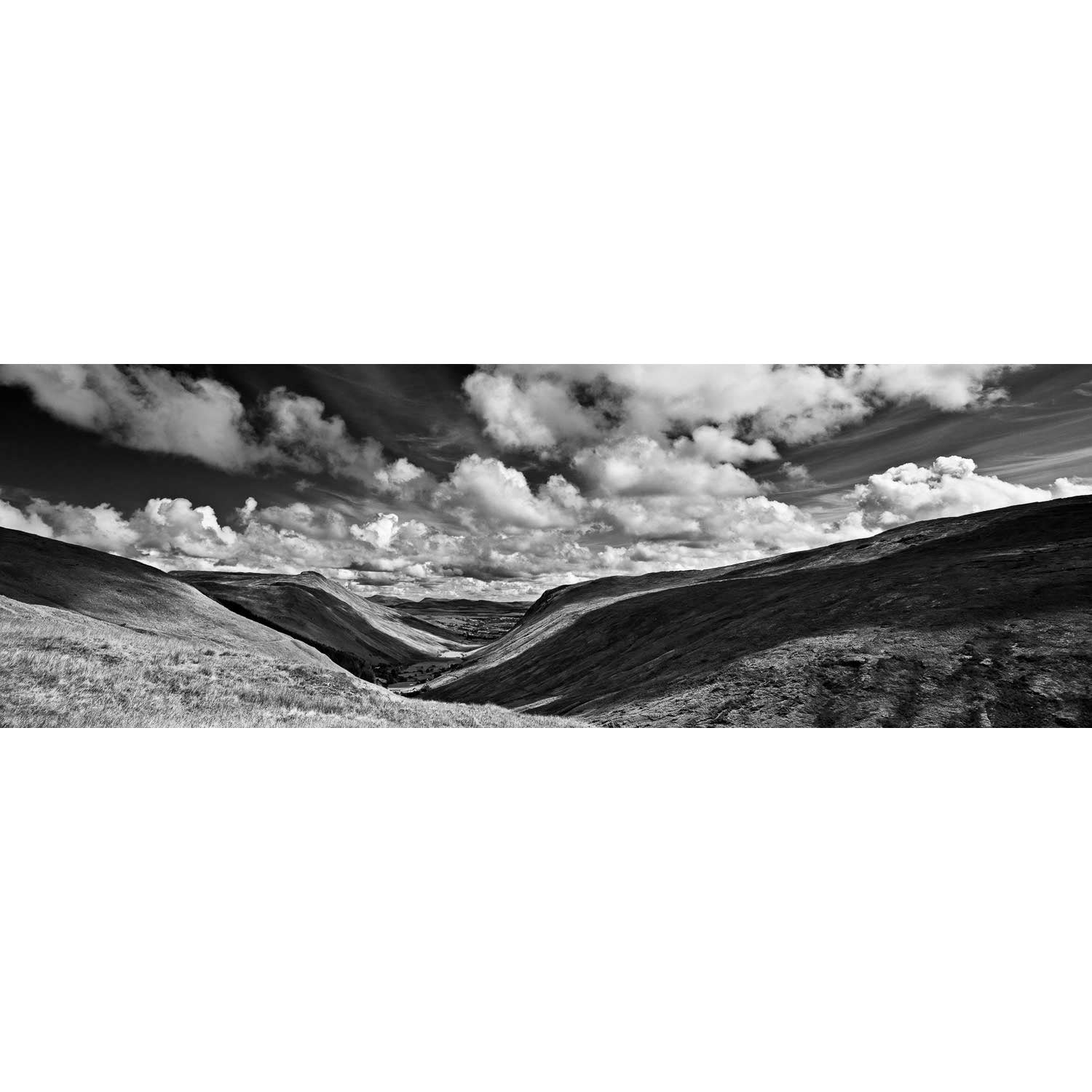
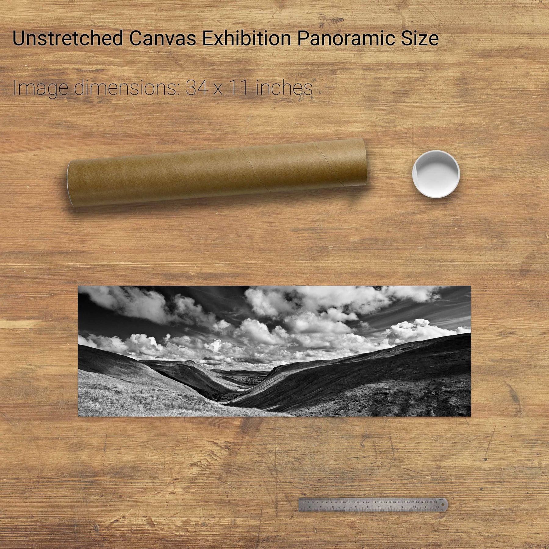
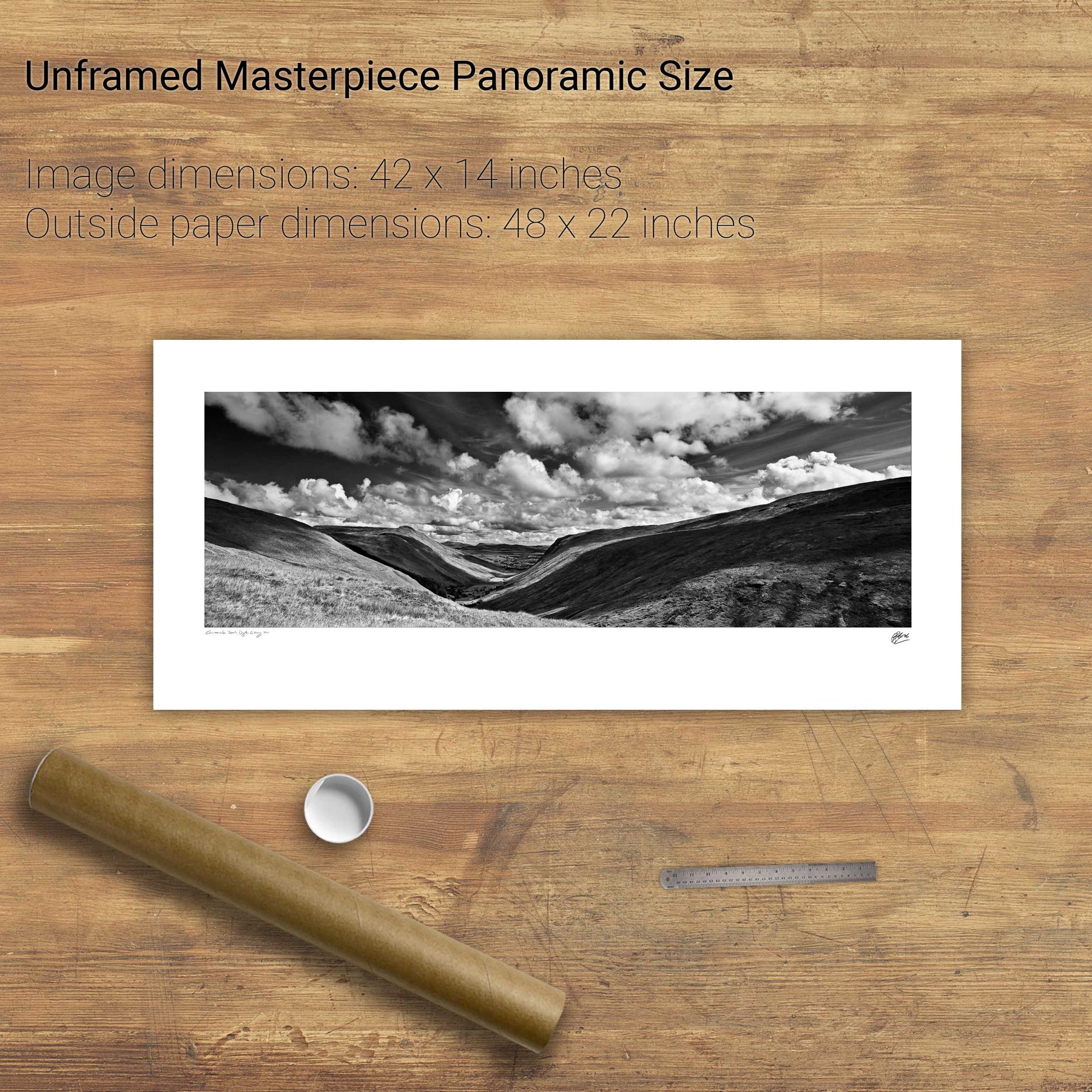
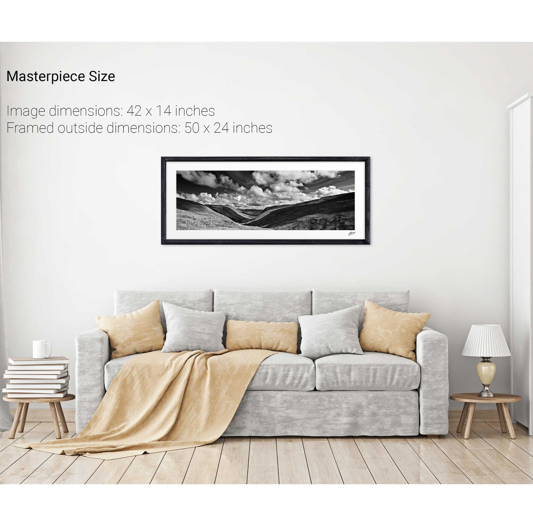
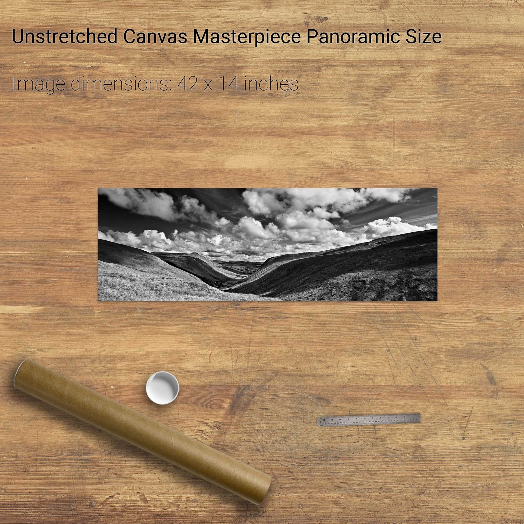
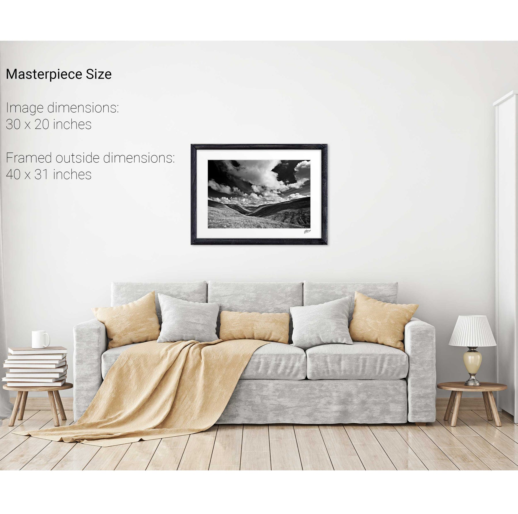
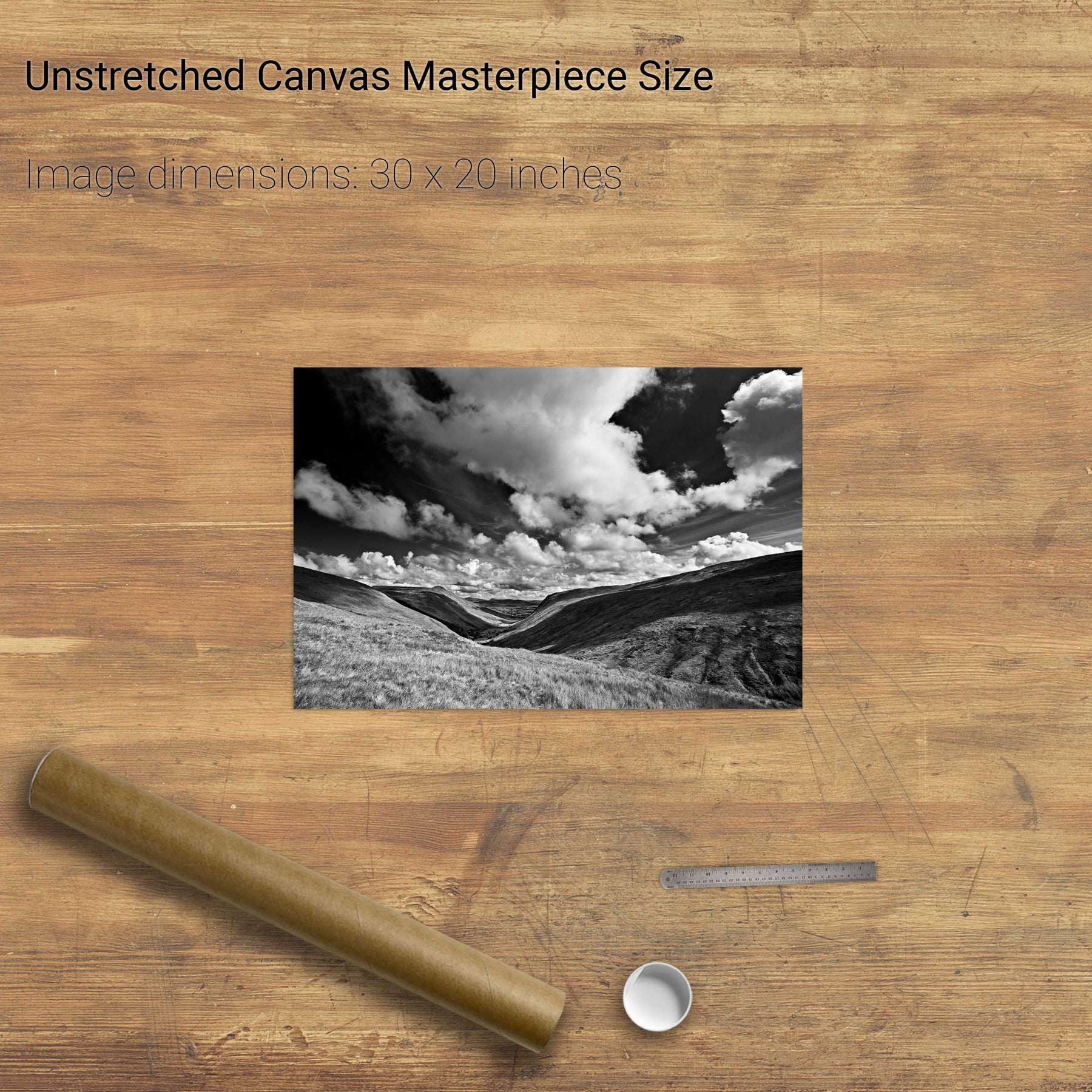
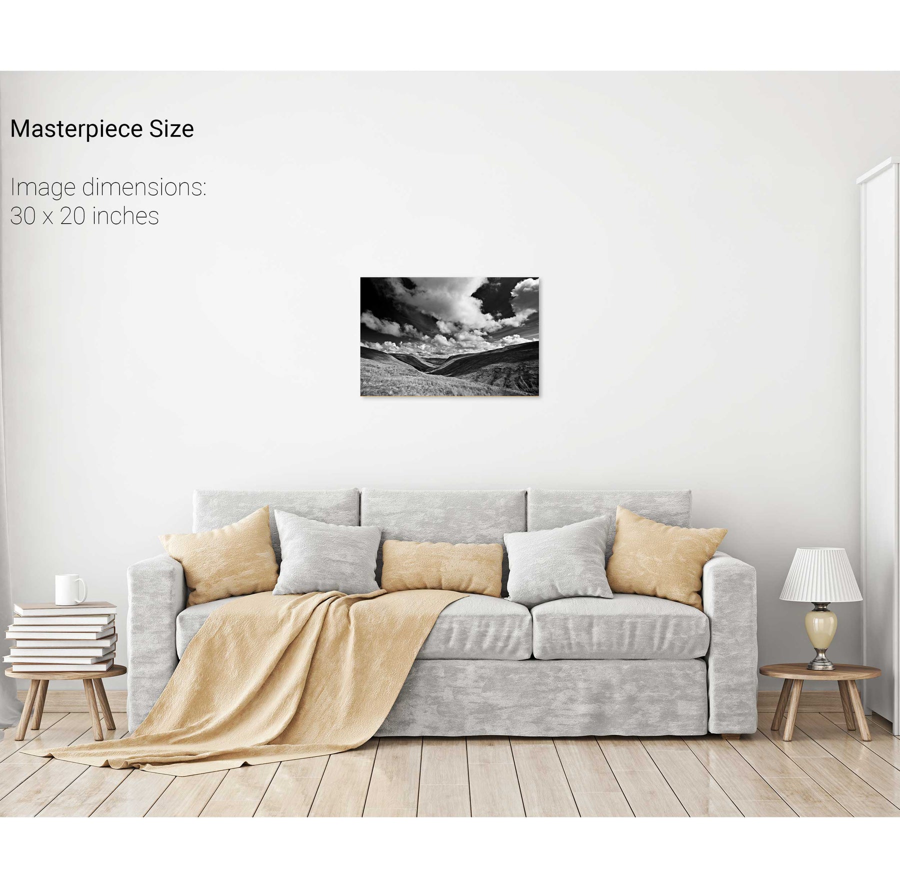
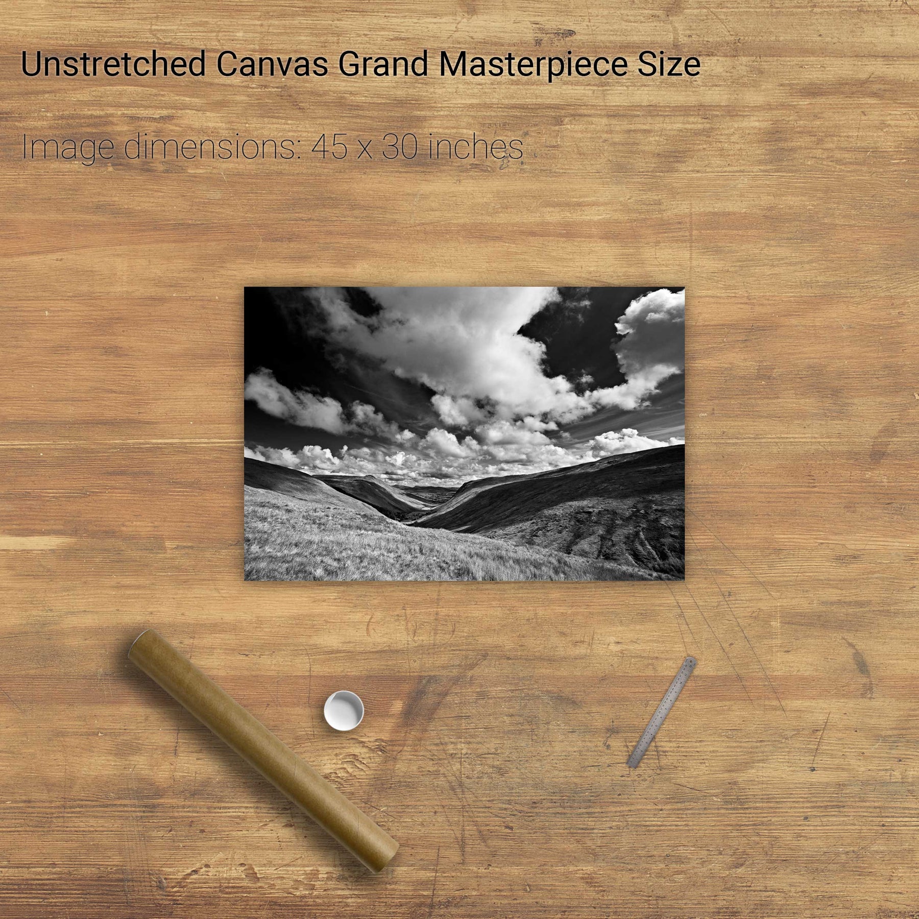
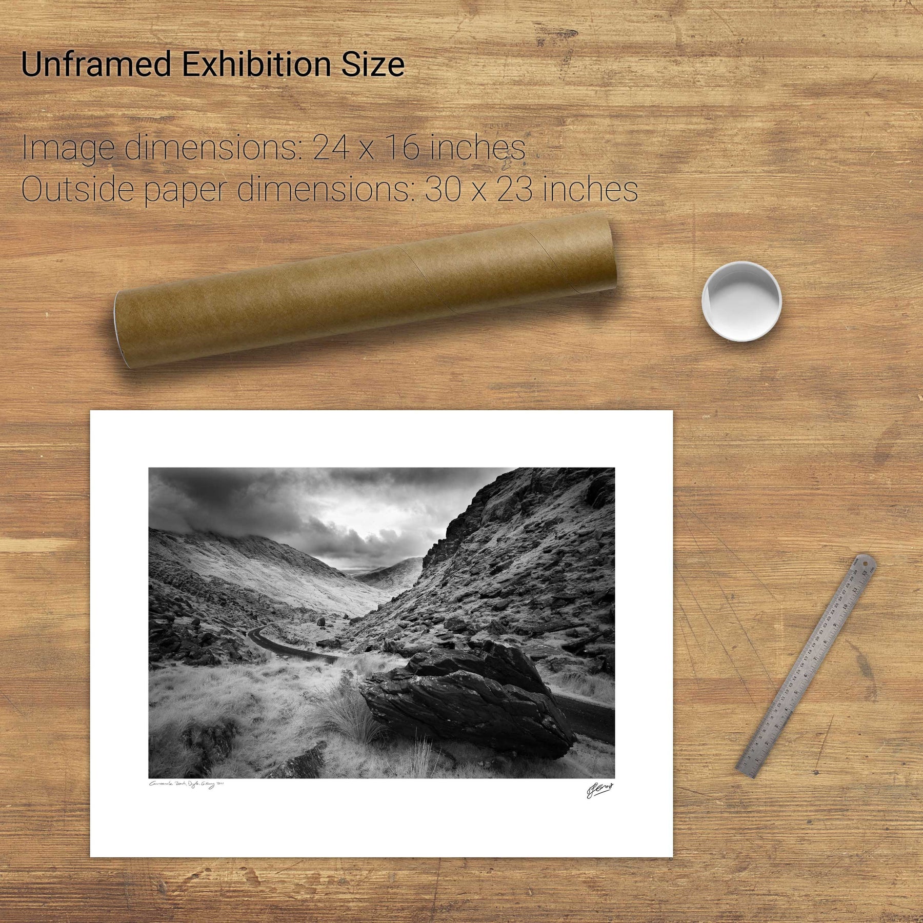
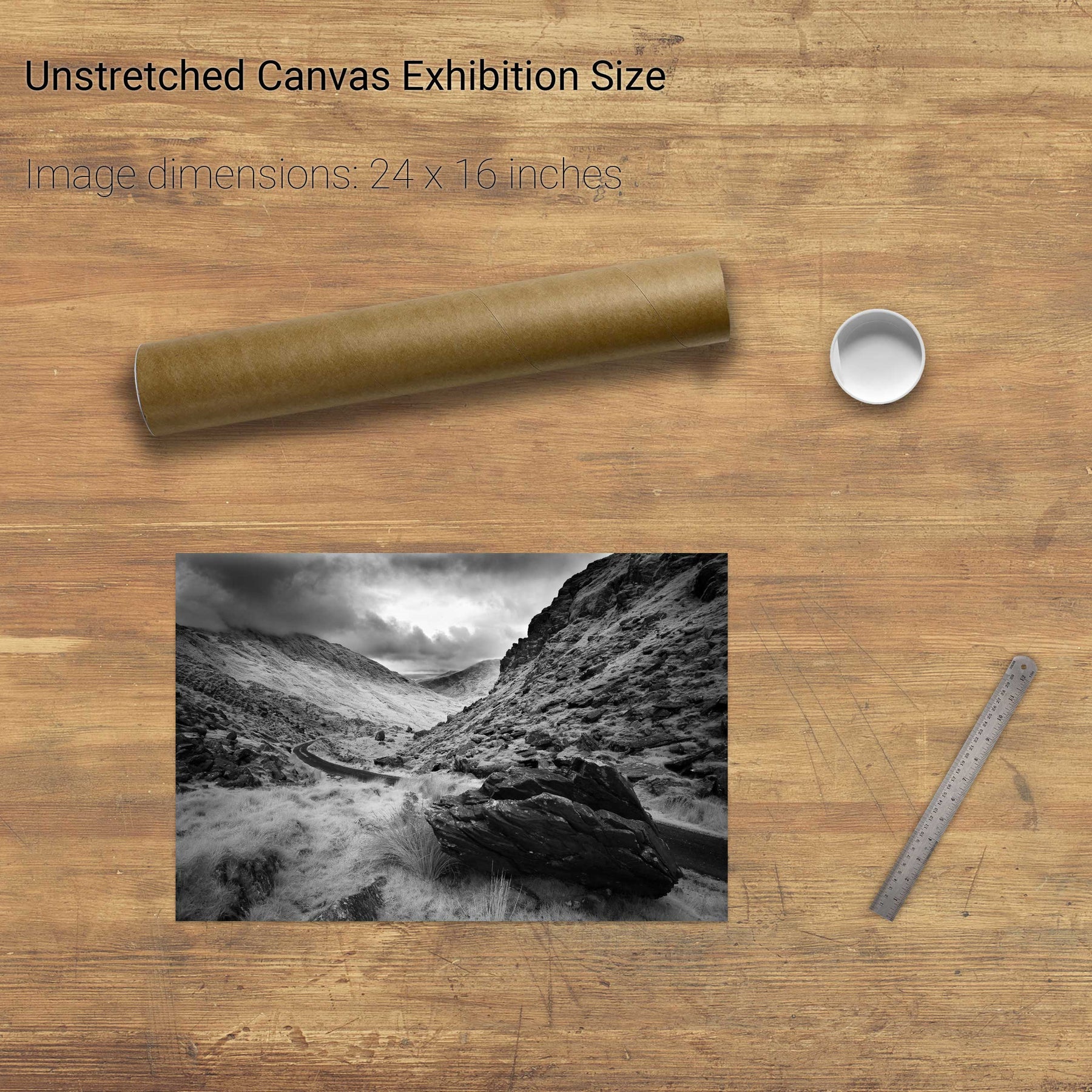
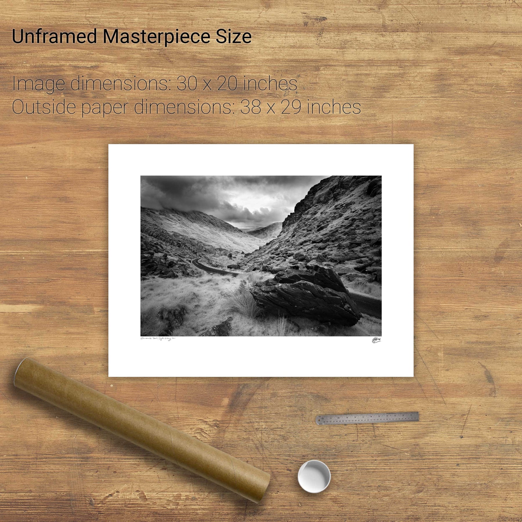
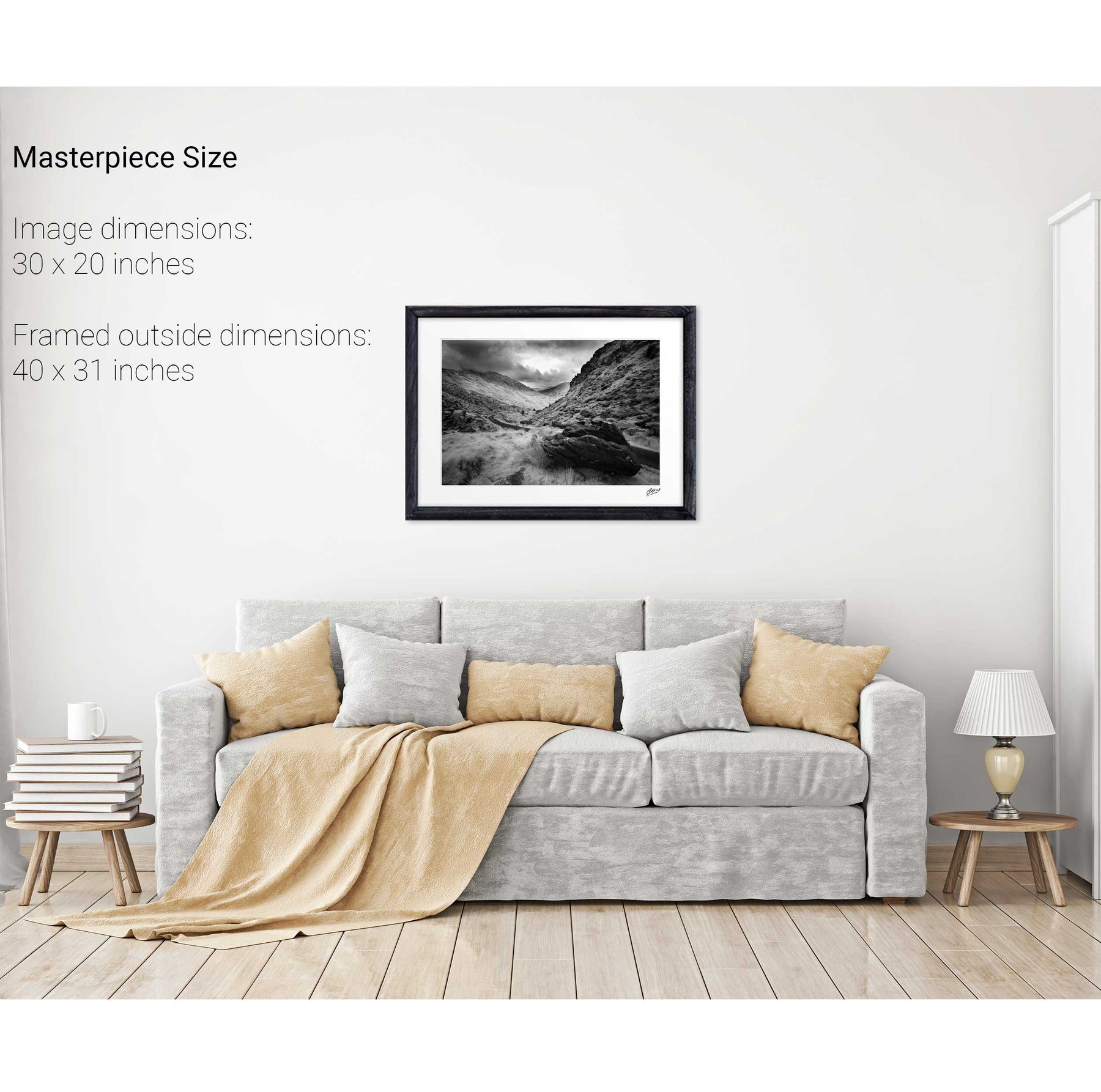
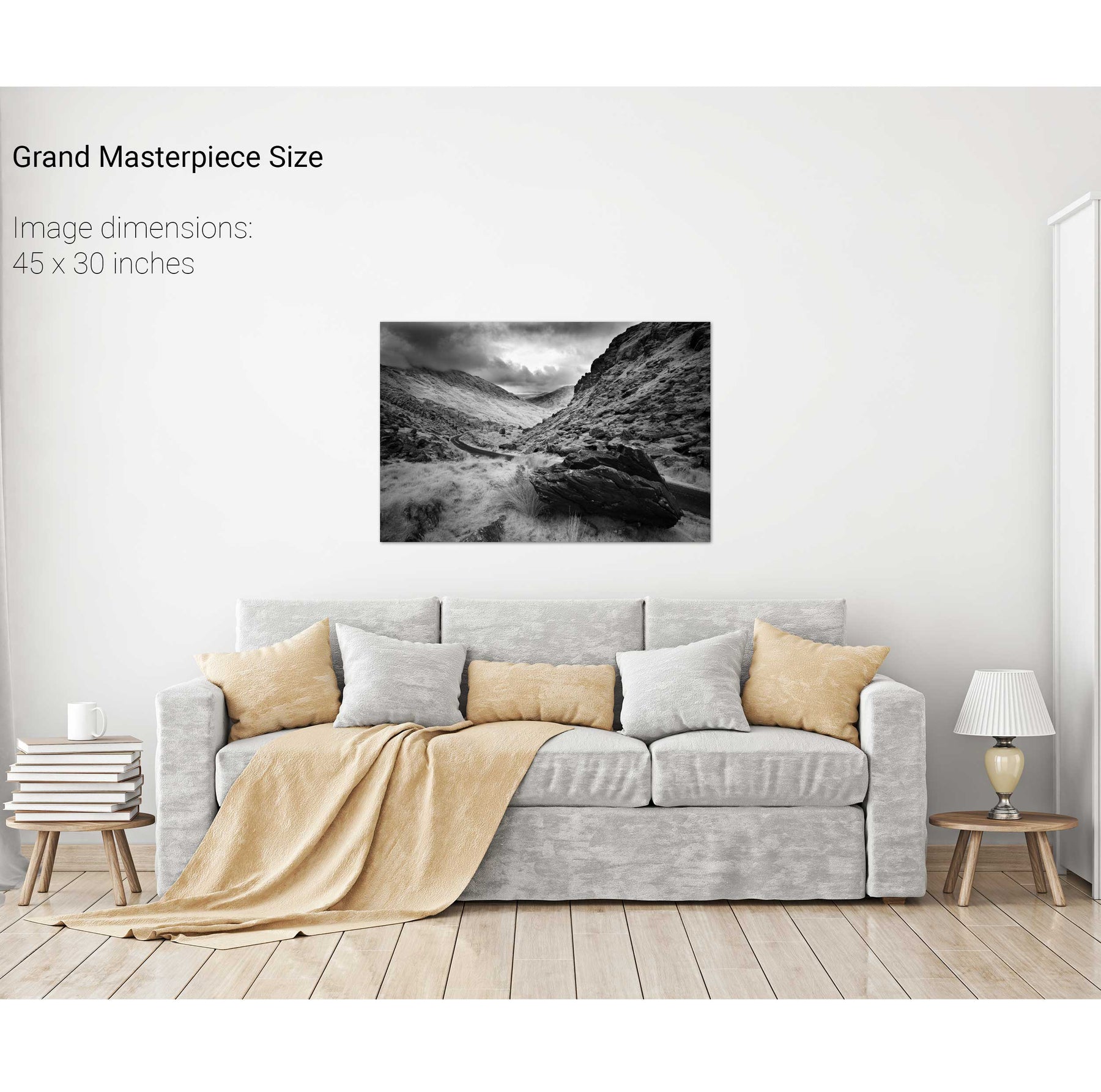
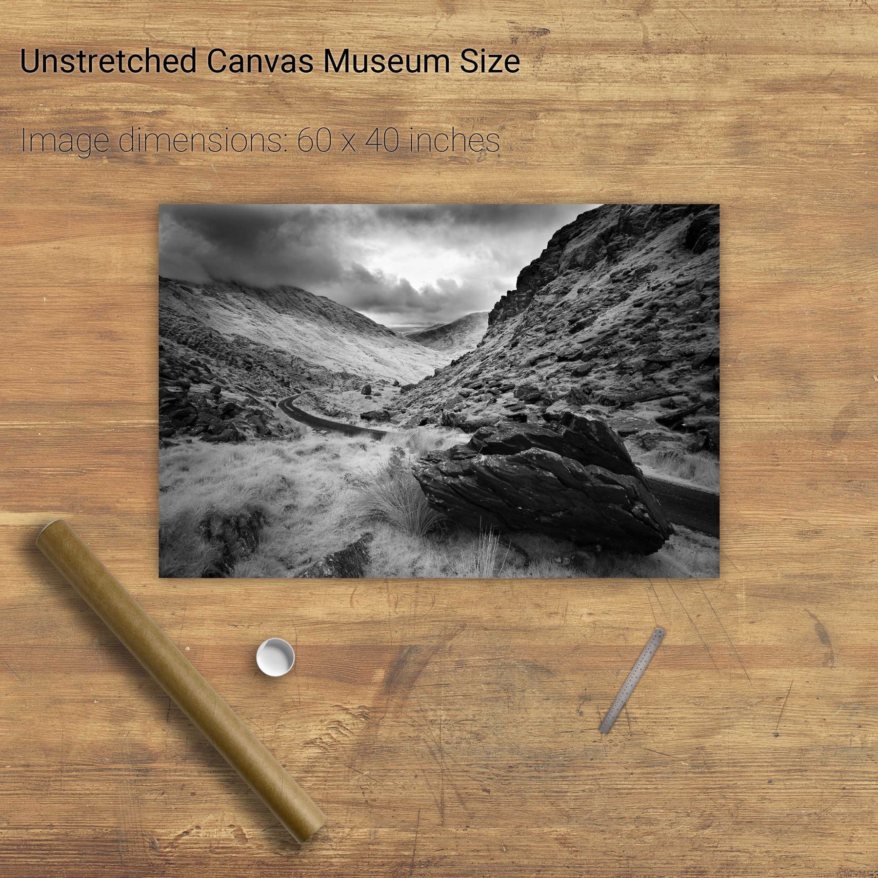
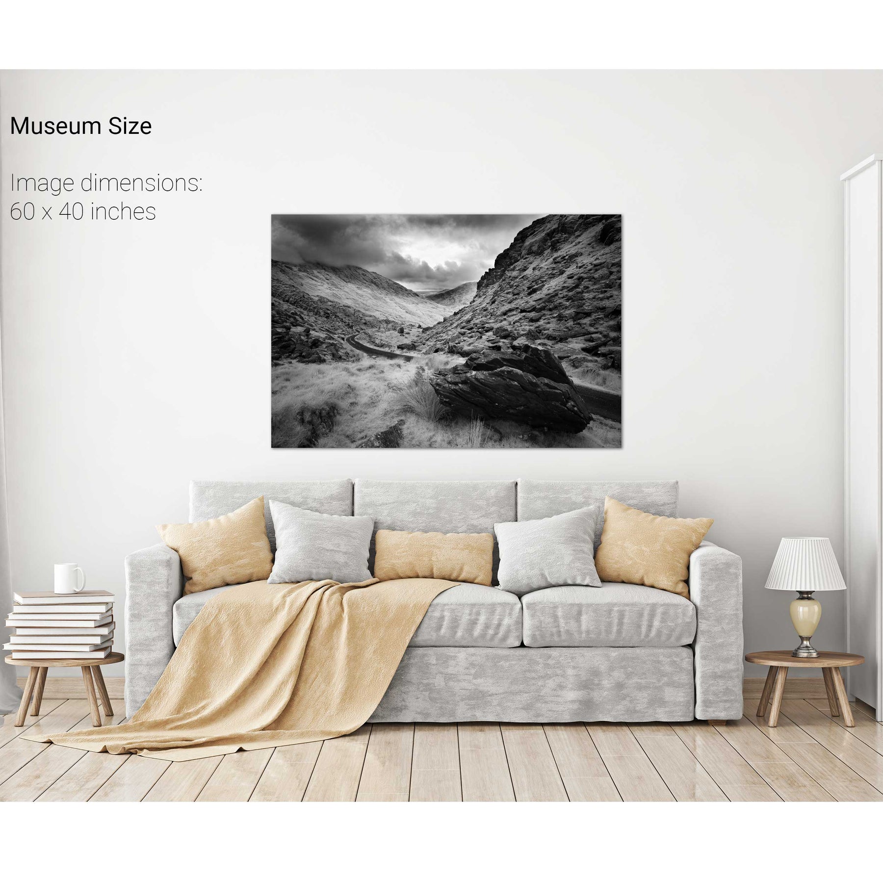
Ballaghbeama Gap, Co. Kerry
Bridia Valley, Co. Kerry
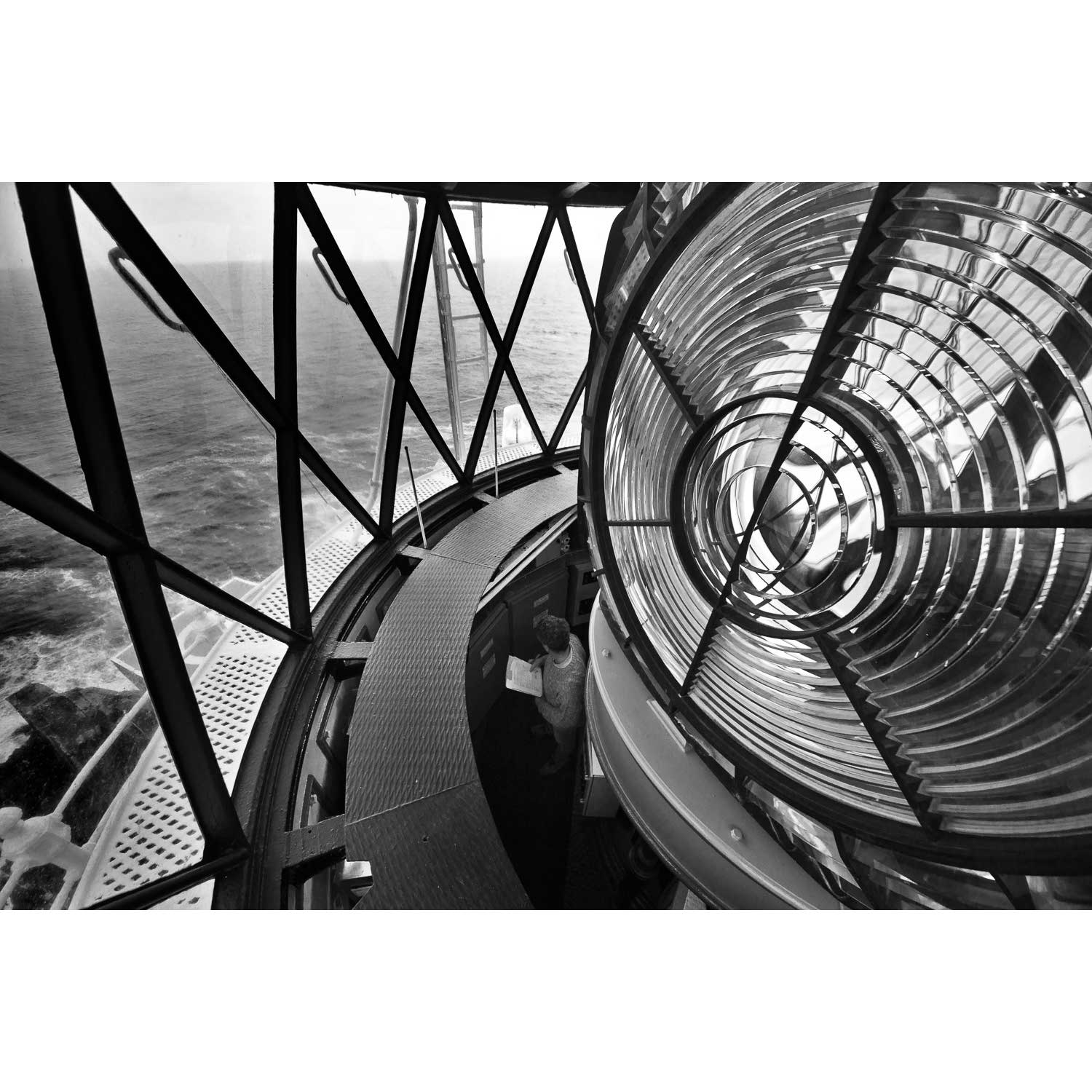
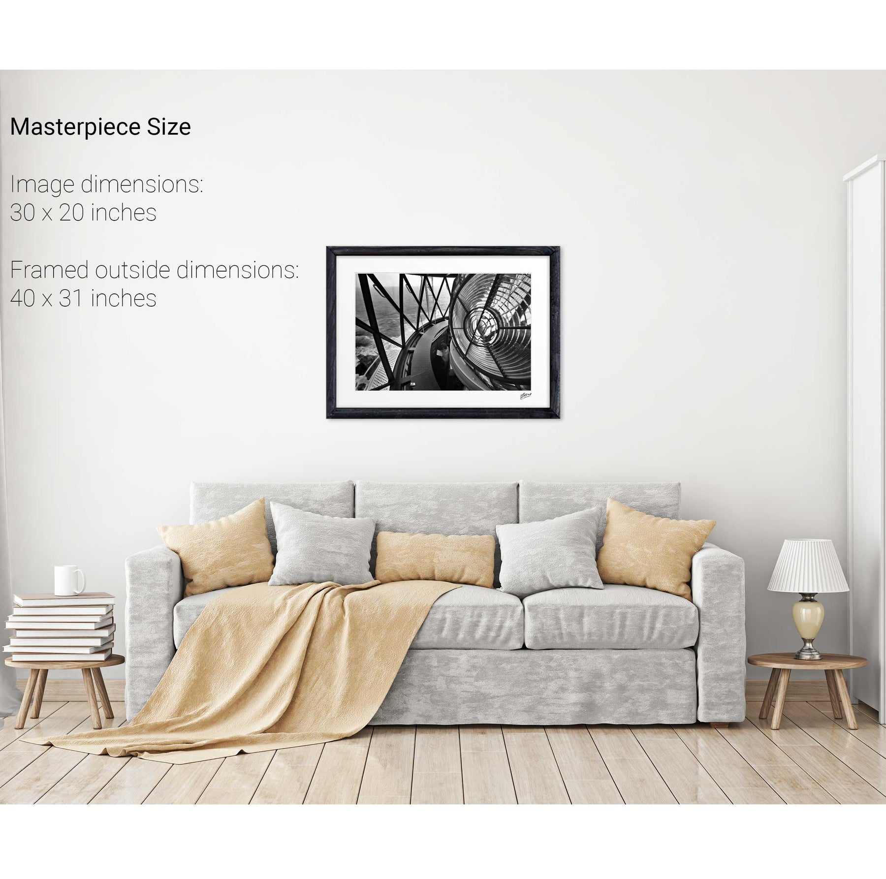
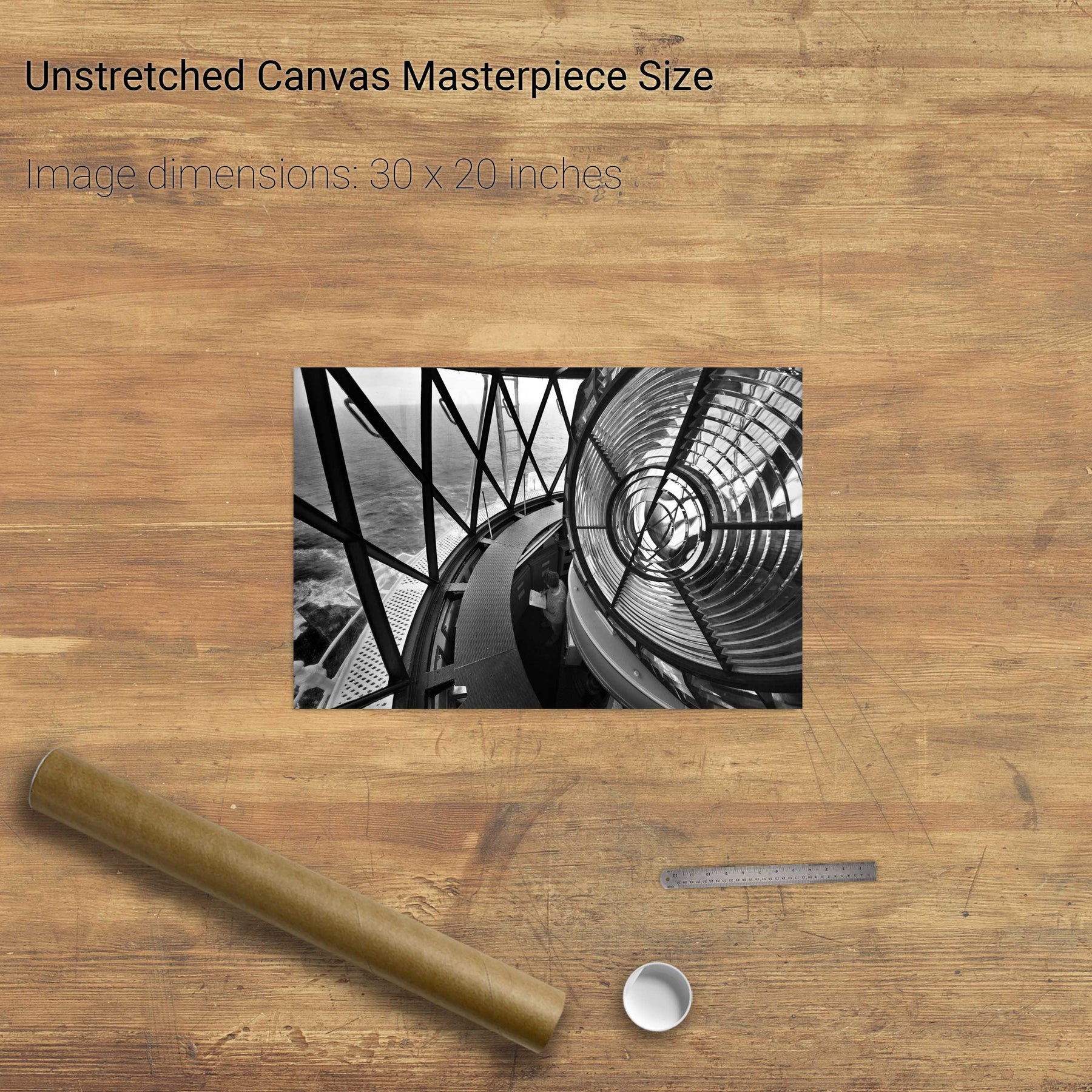
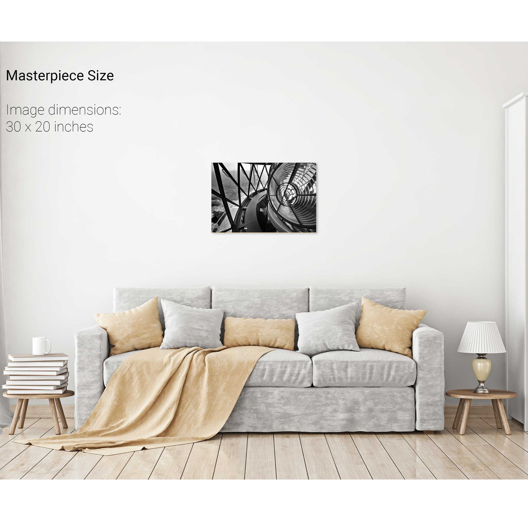
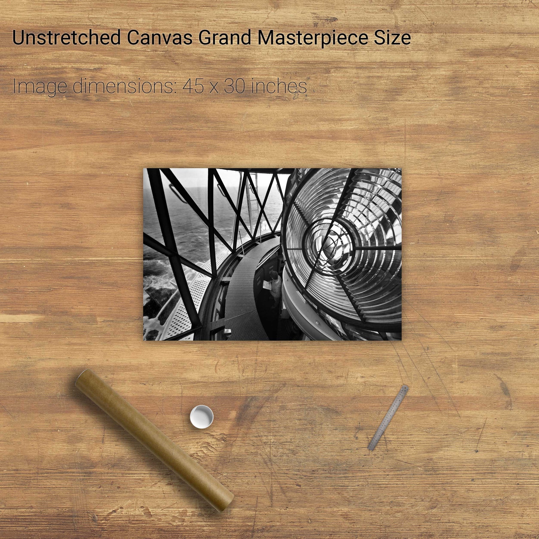
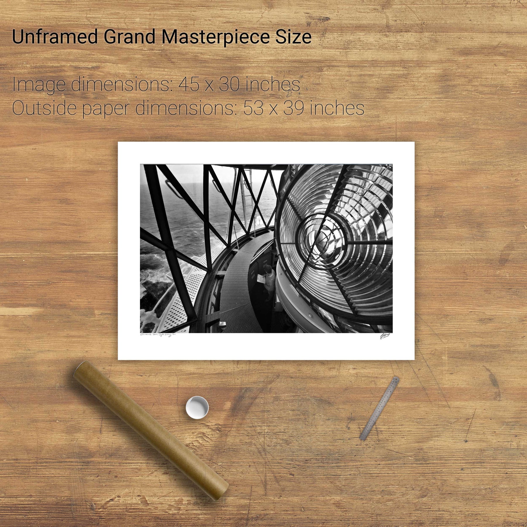
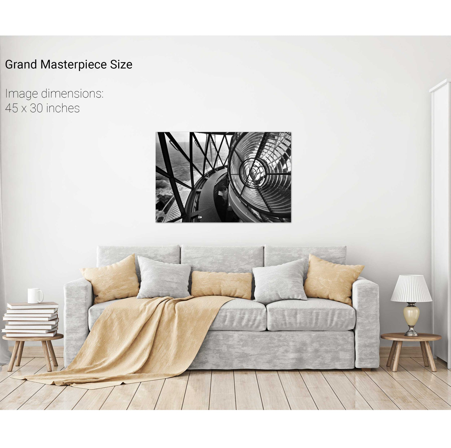
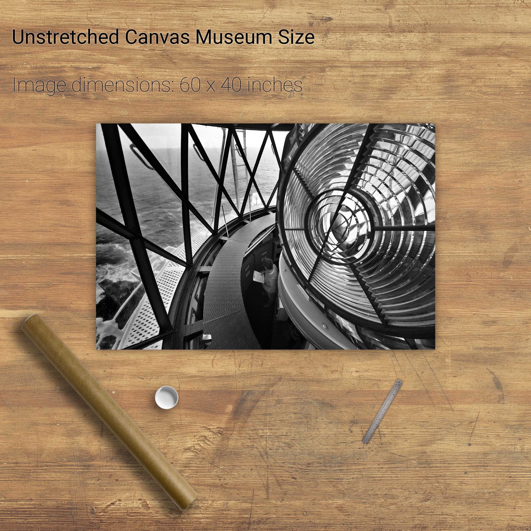
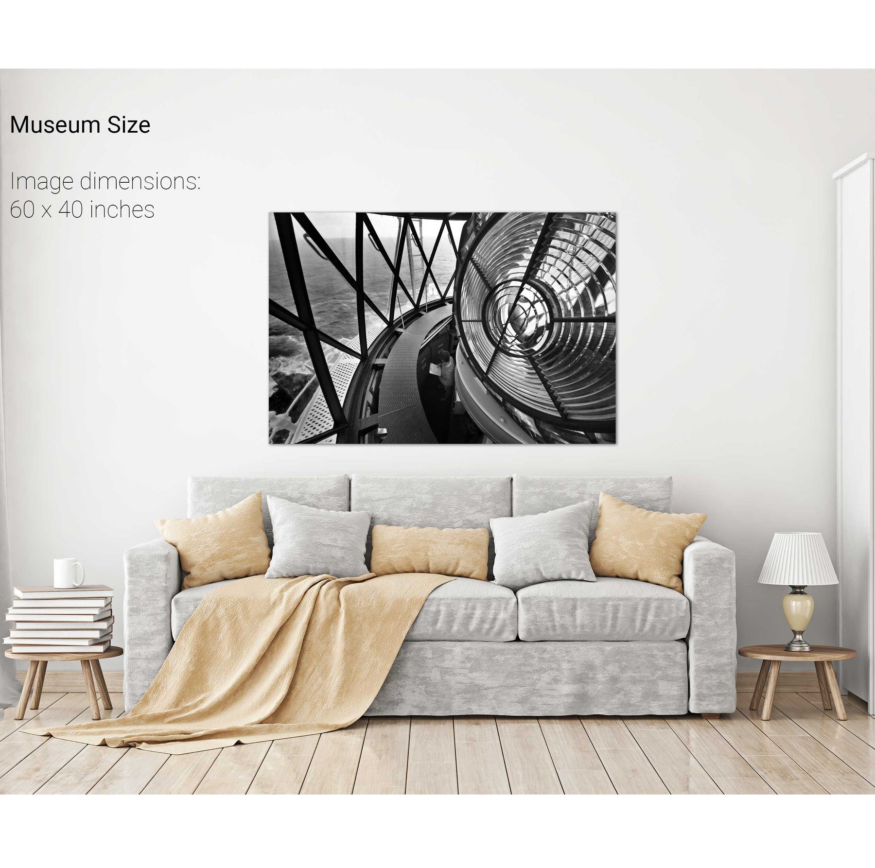
From the Lantern, the Fastnet Lighthouse, Co. Cork
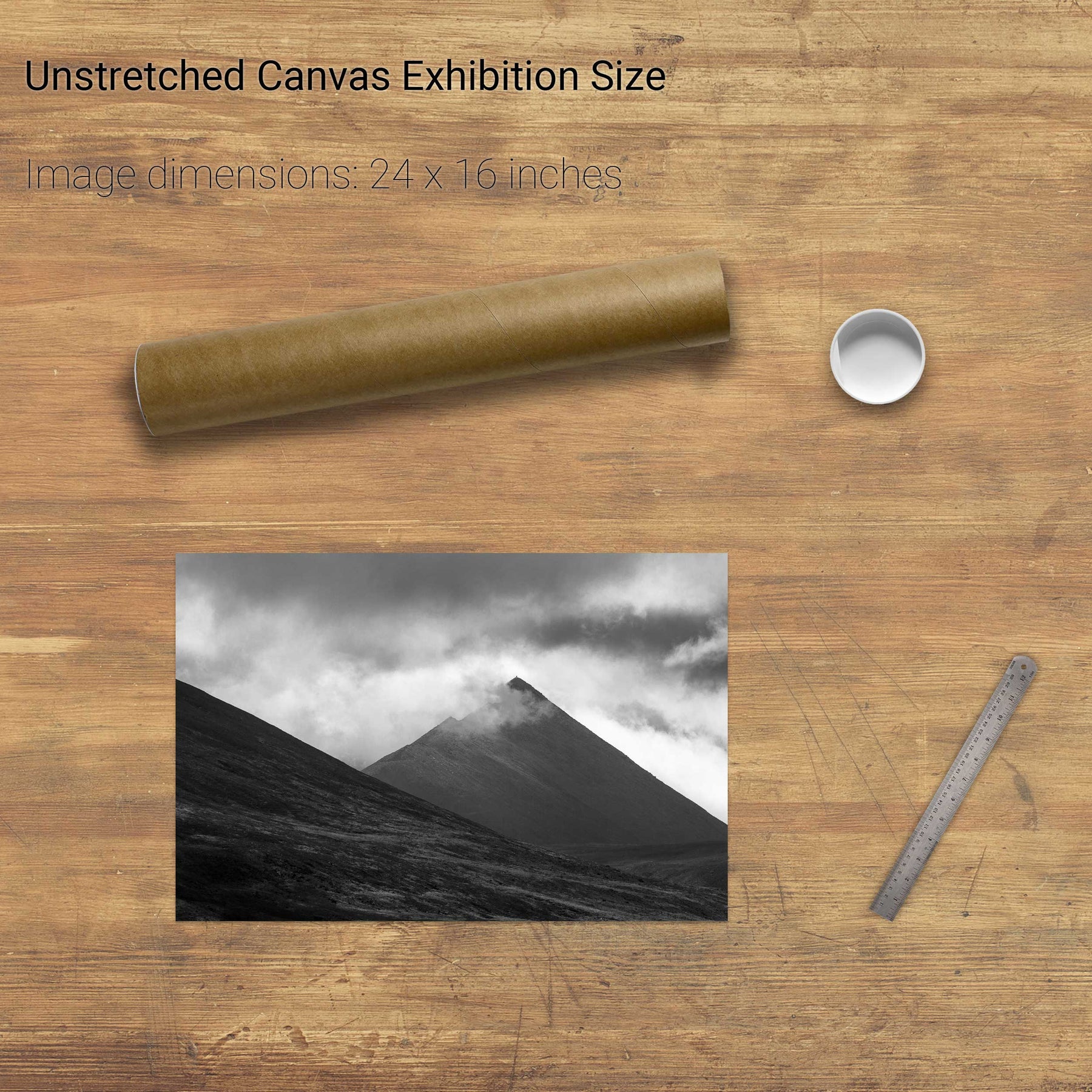
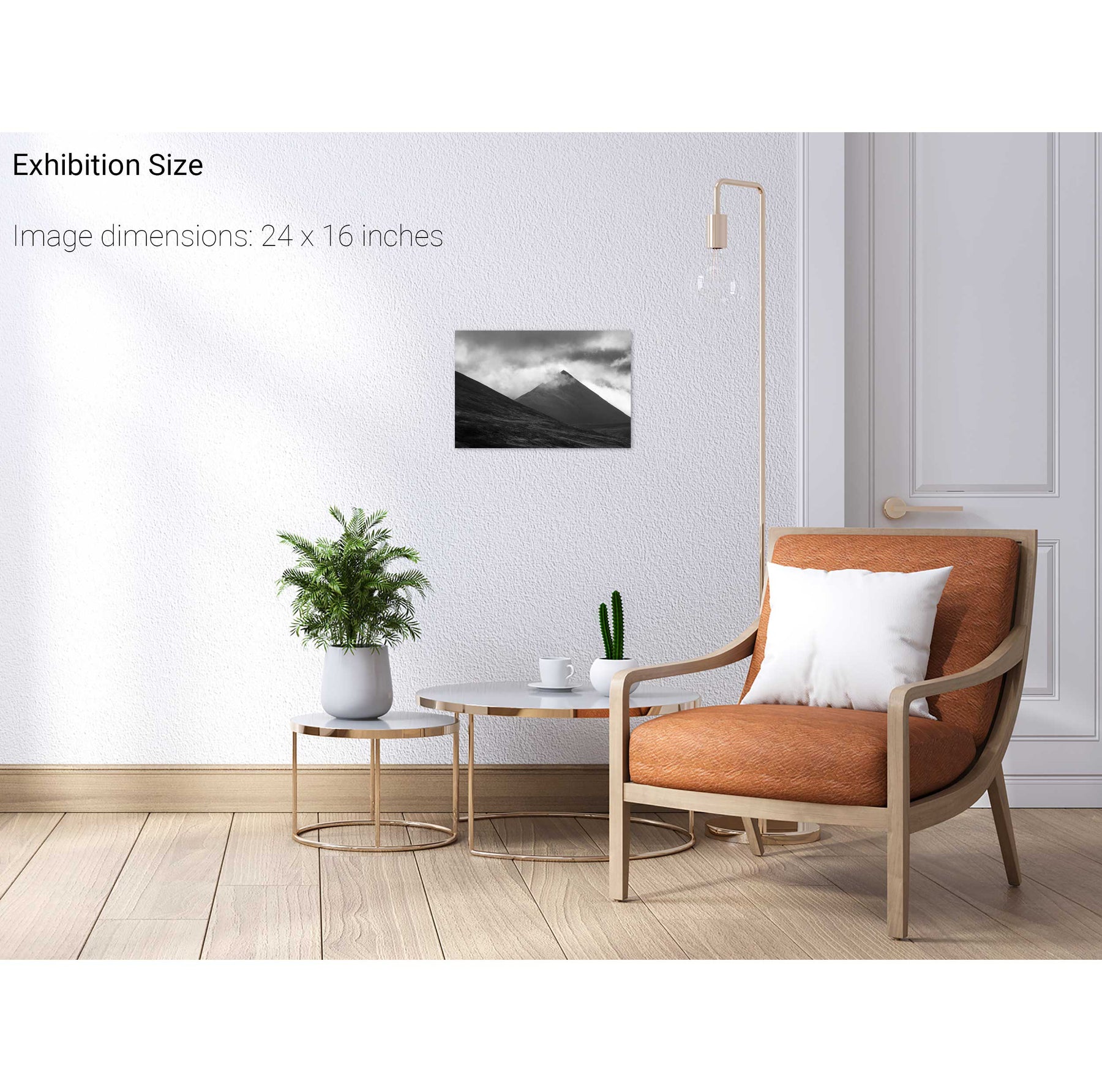
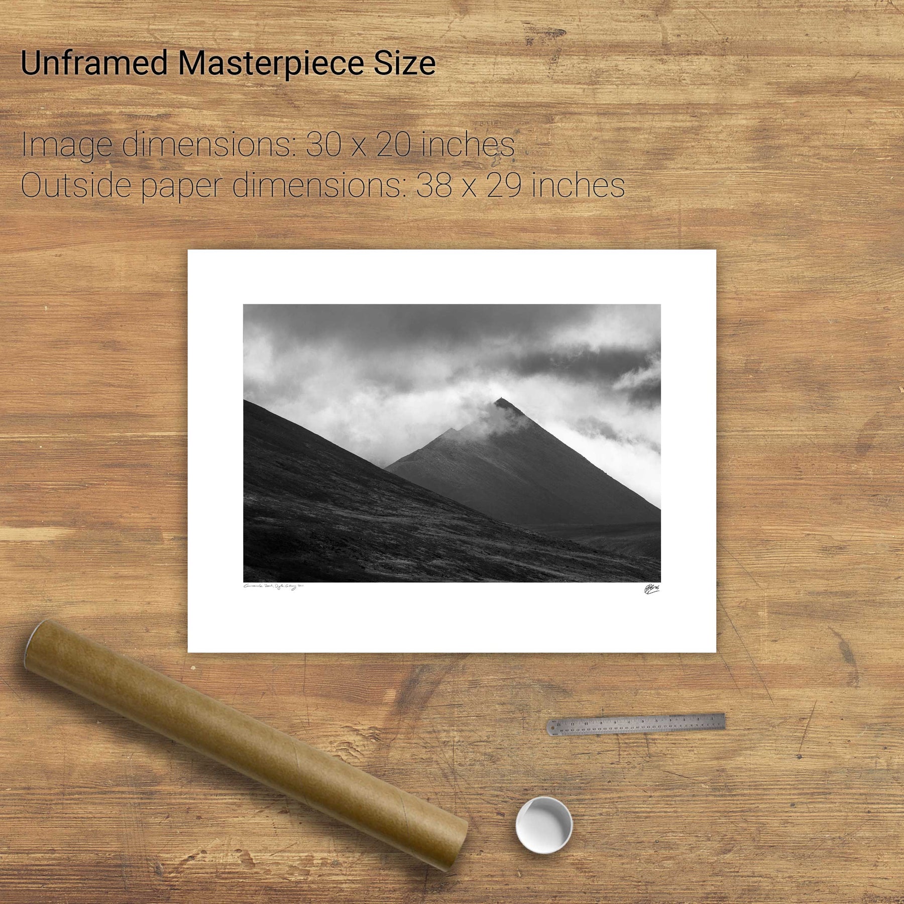
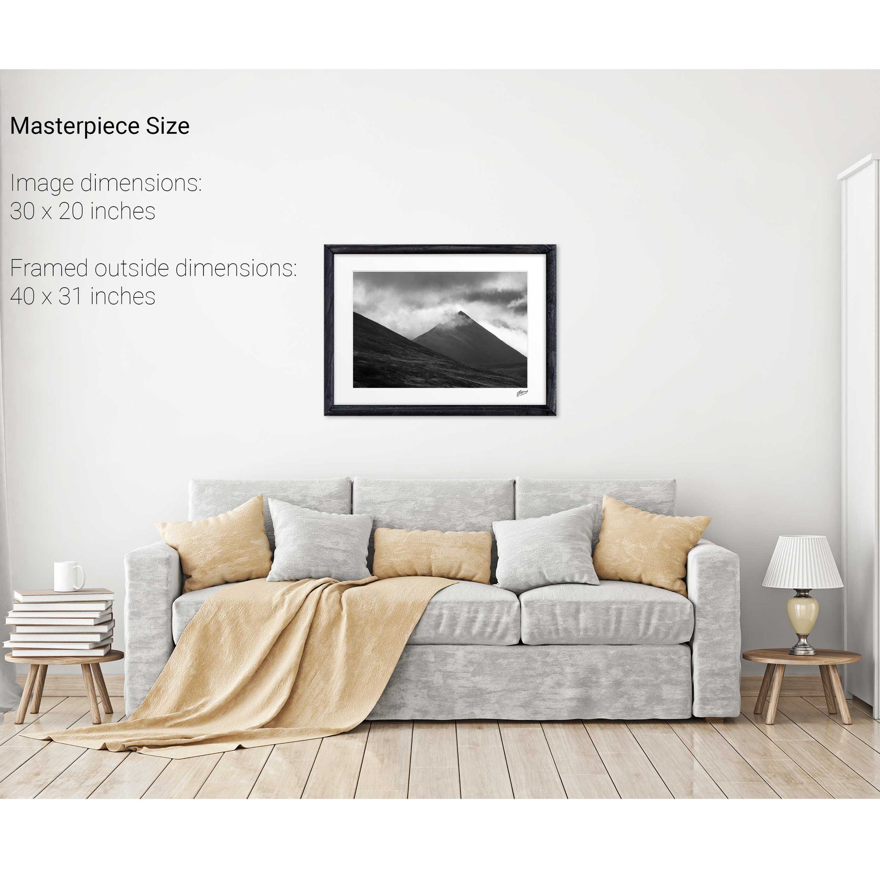
Cruach Mhór, Macgillycuddy's Reeks, Co. Kerry
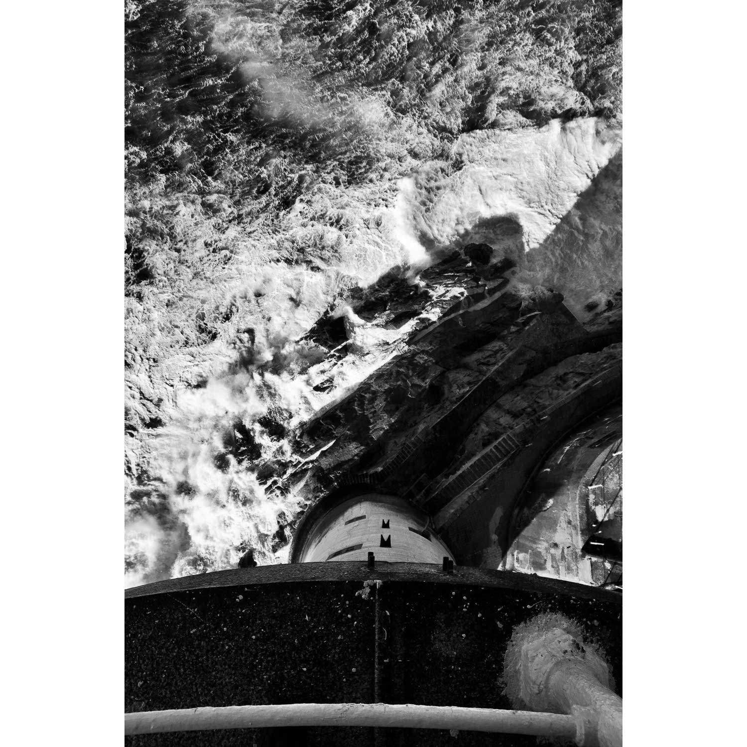
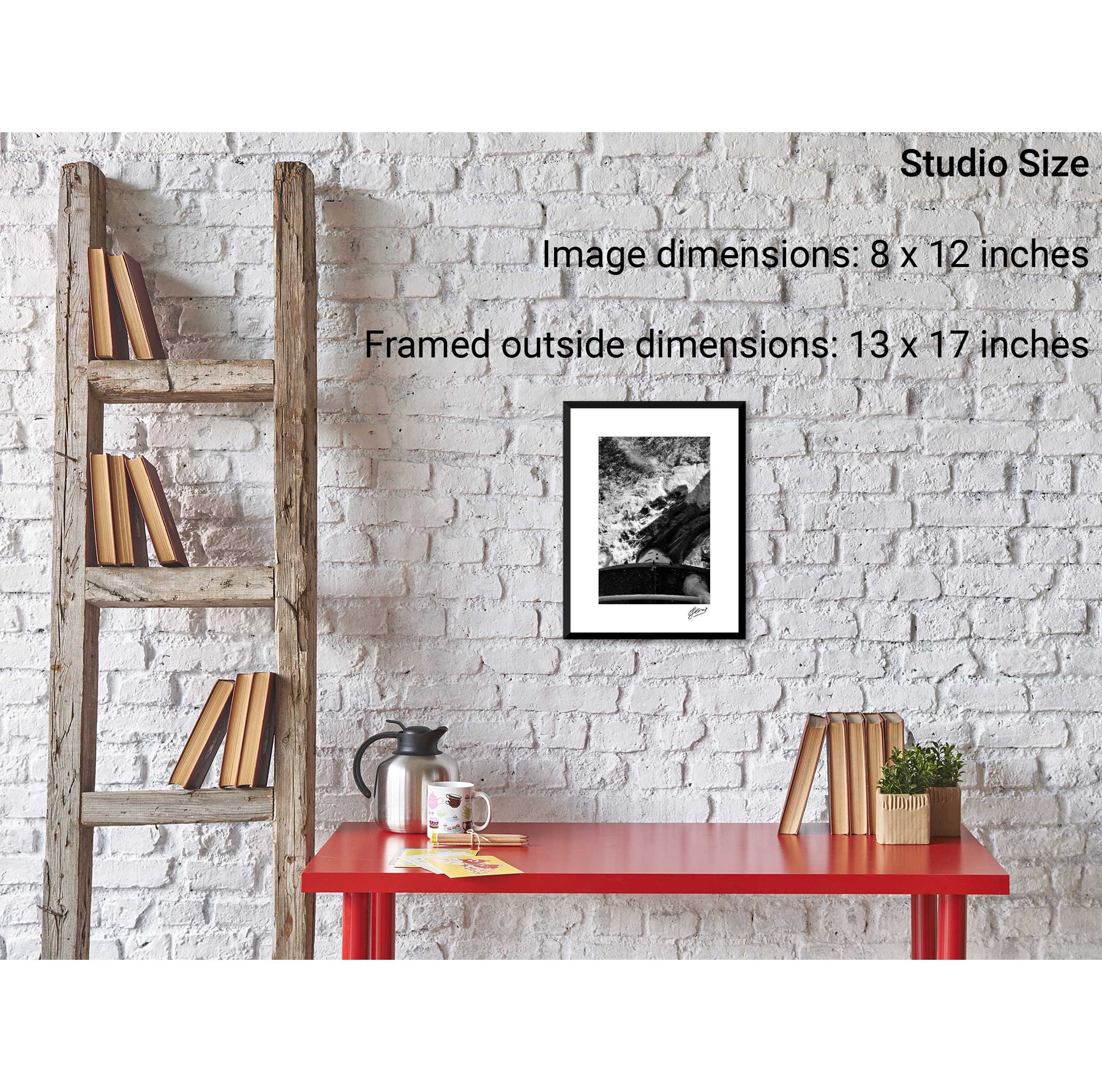
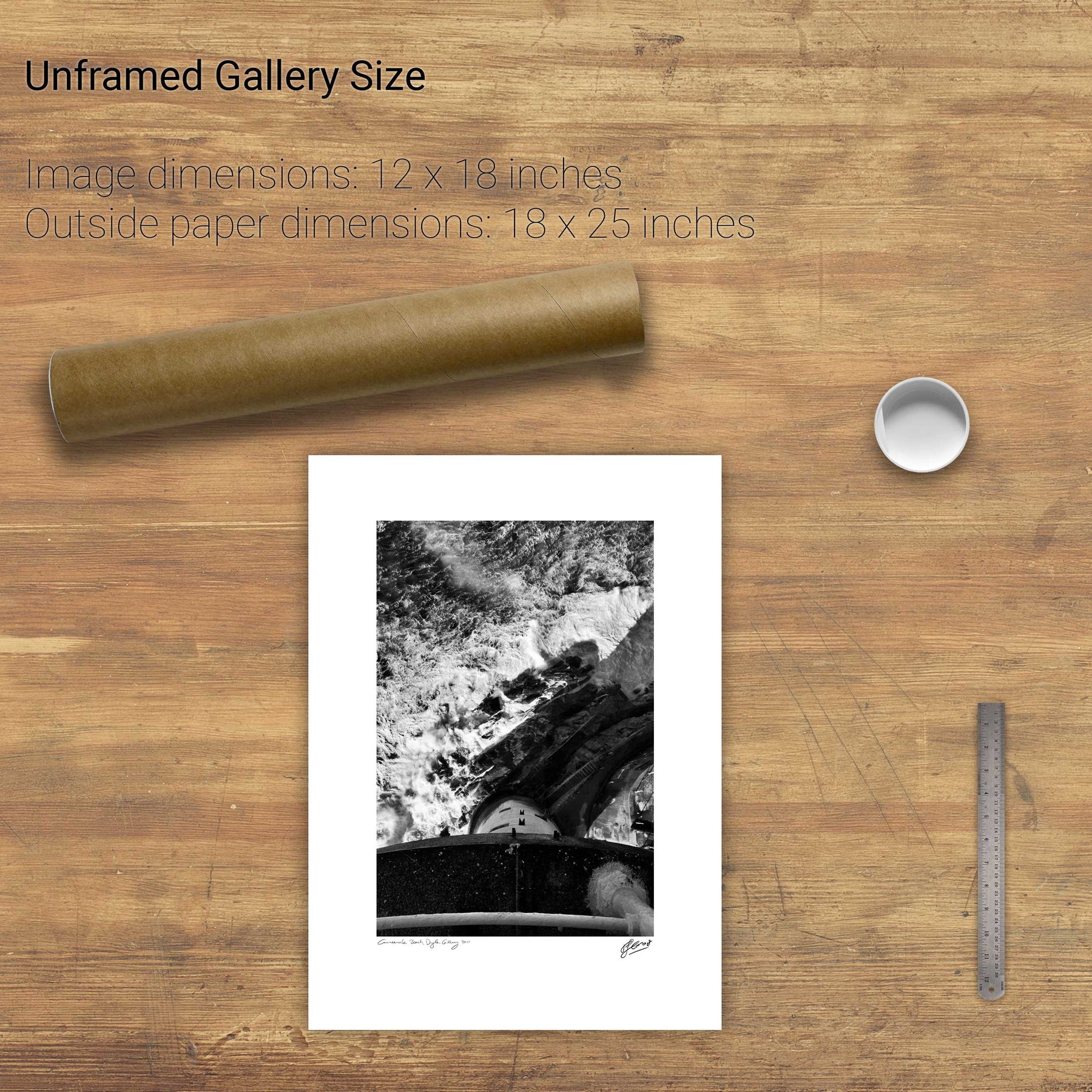
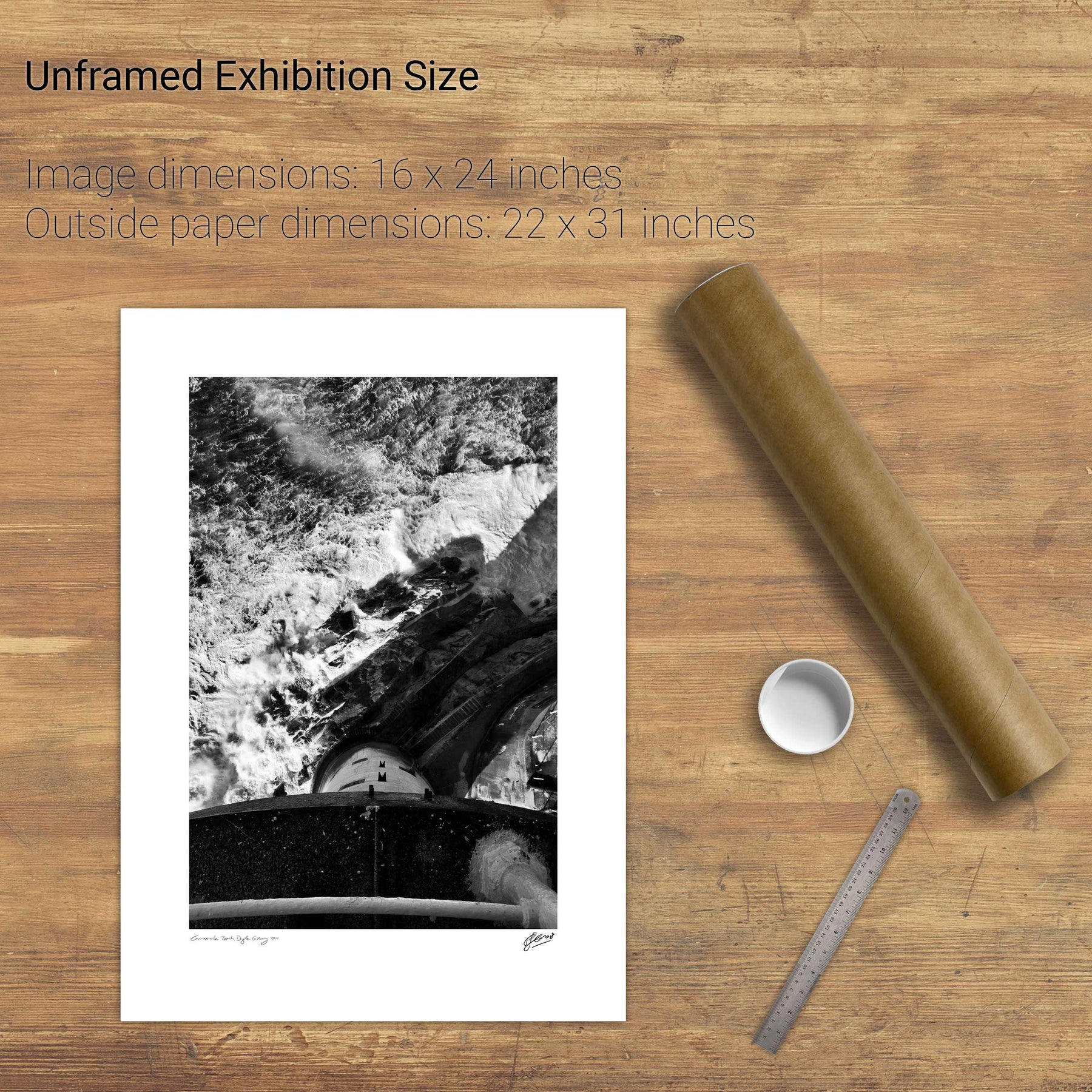
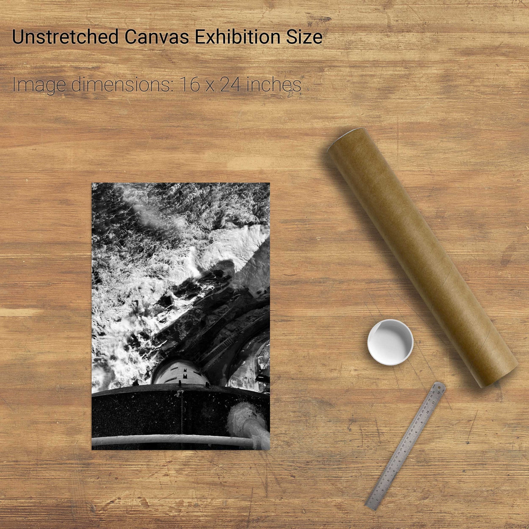
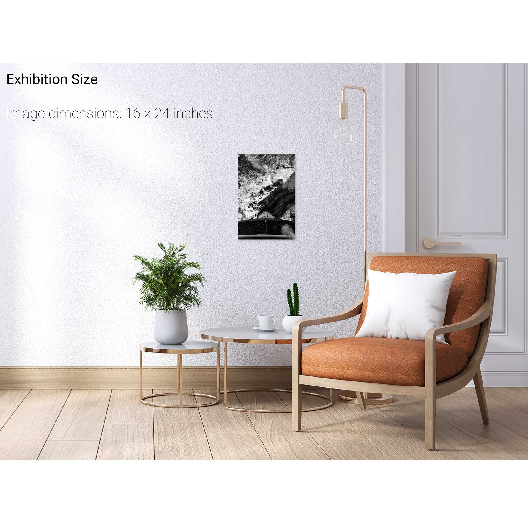
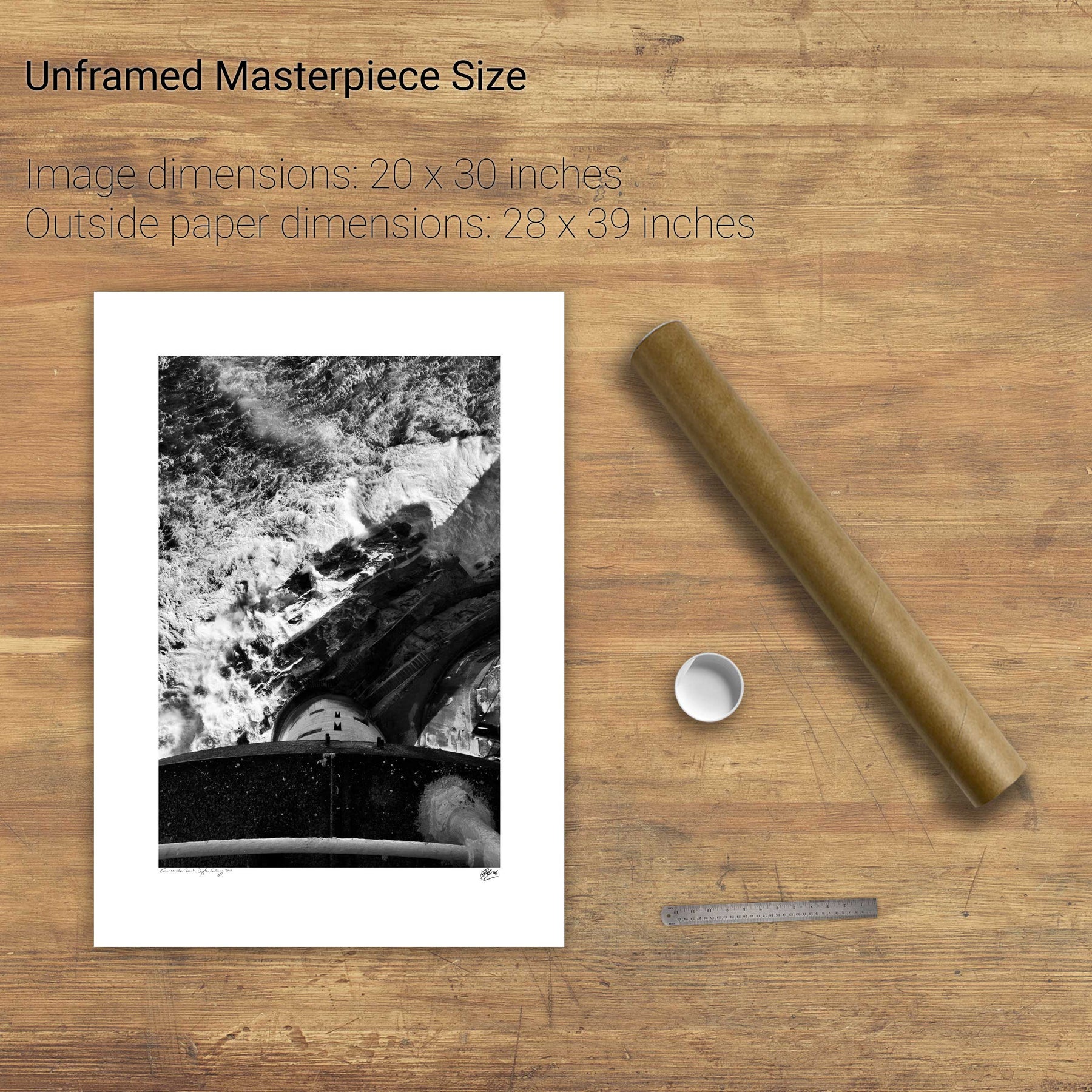
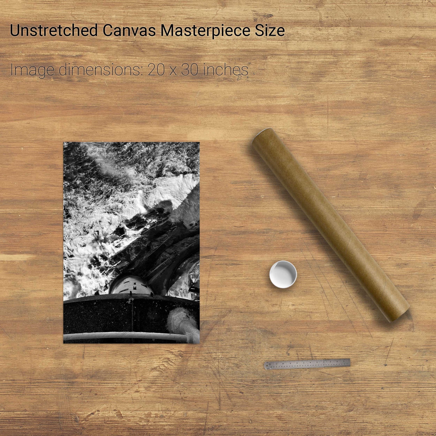
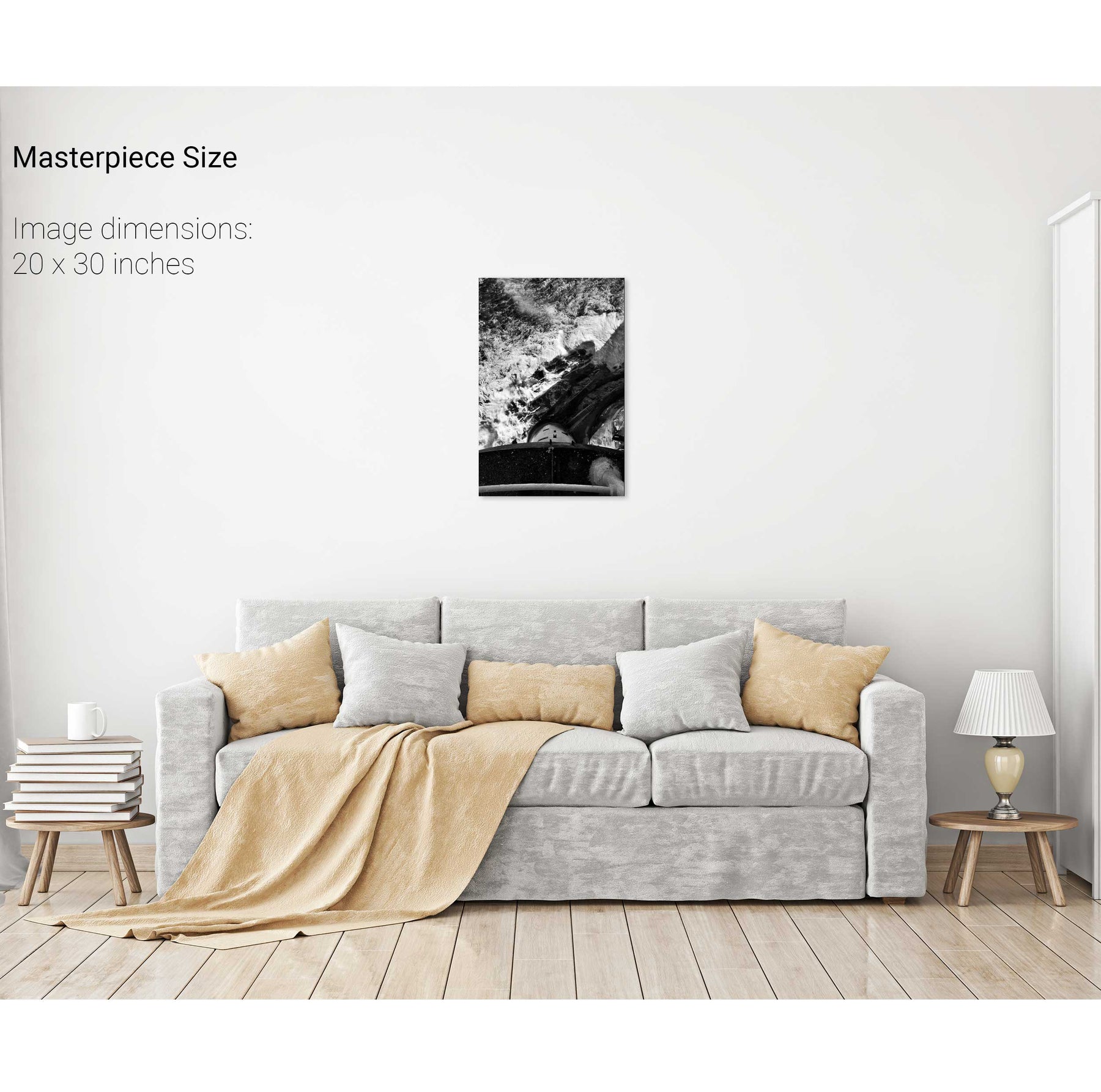
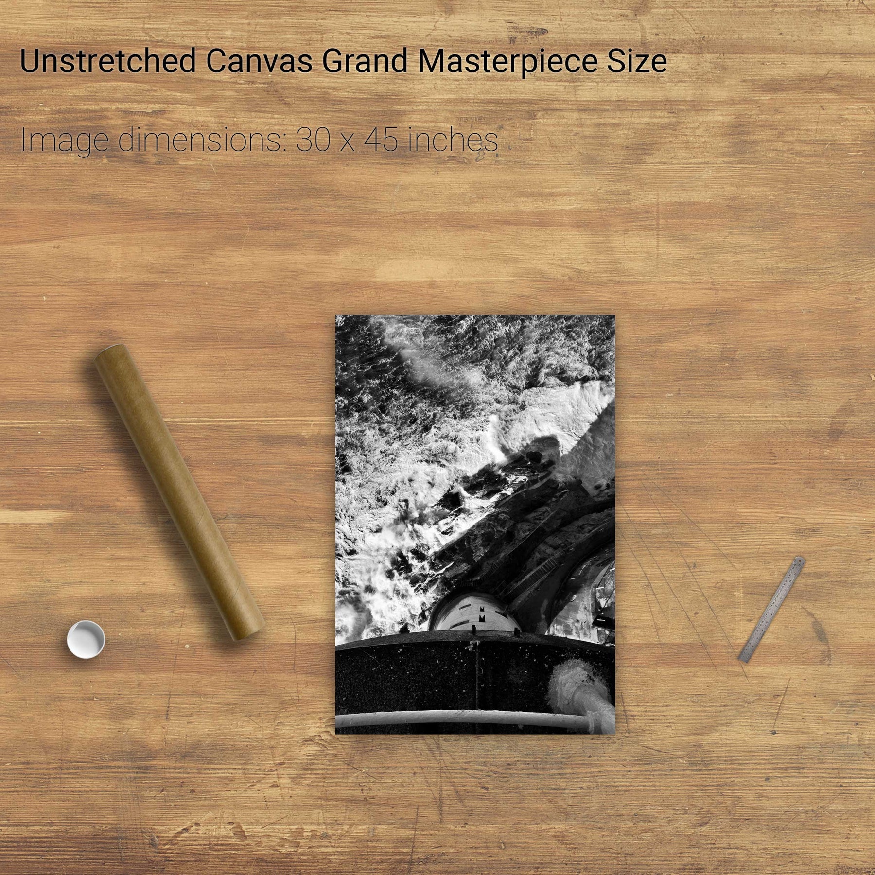
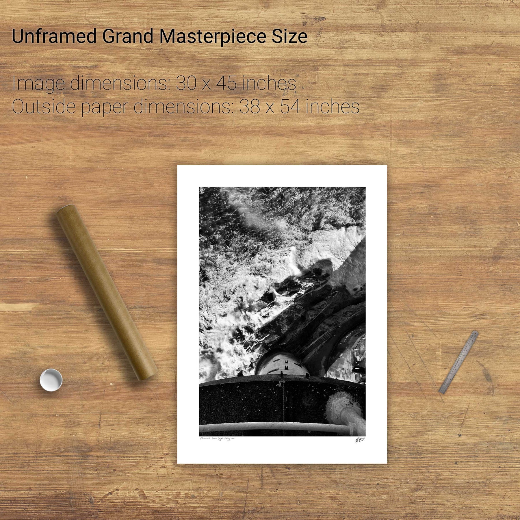
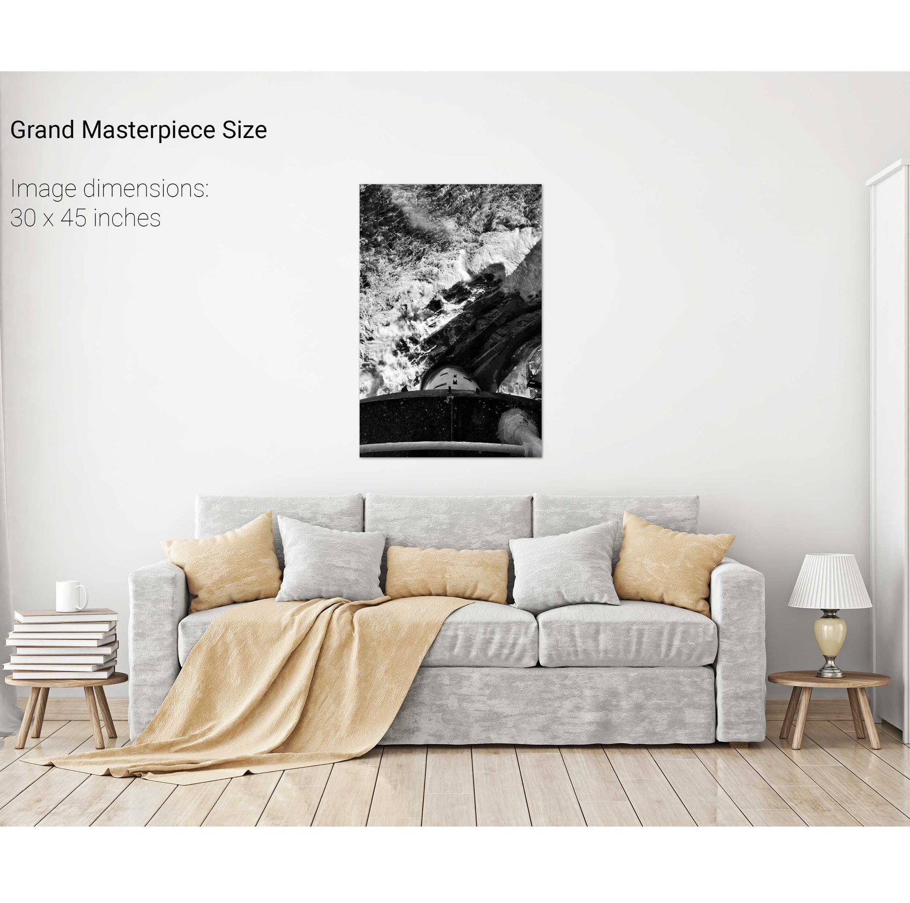
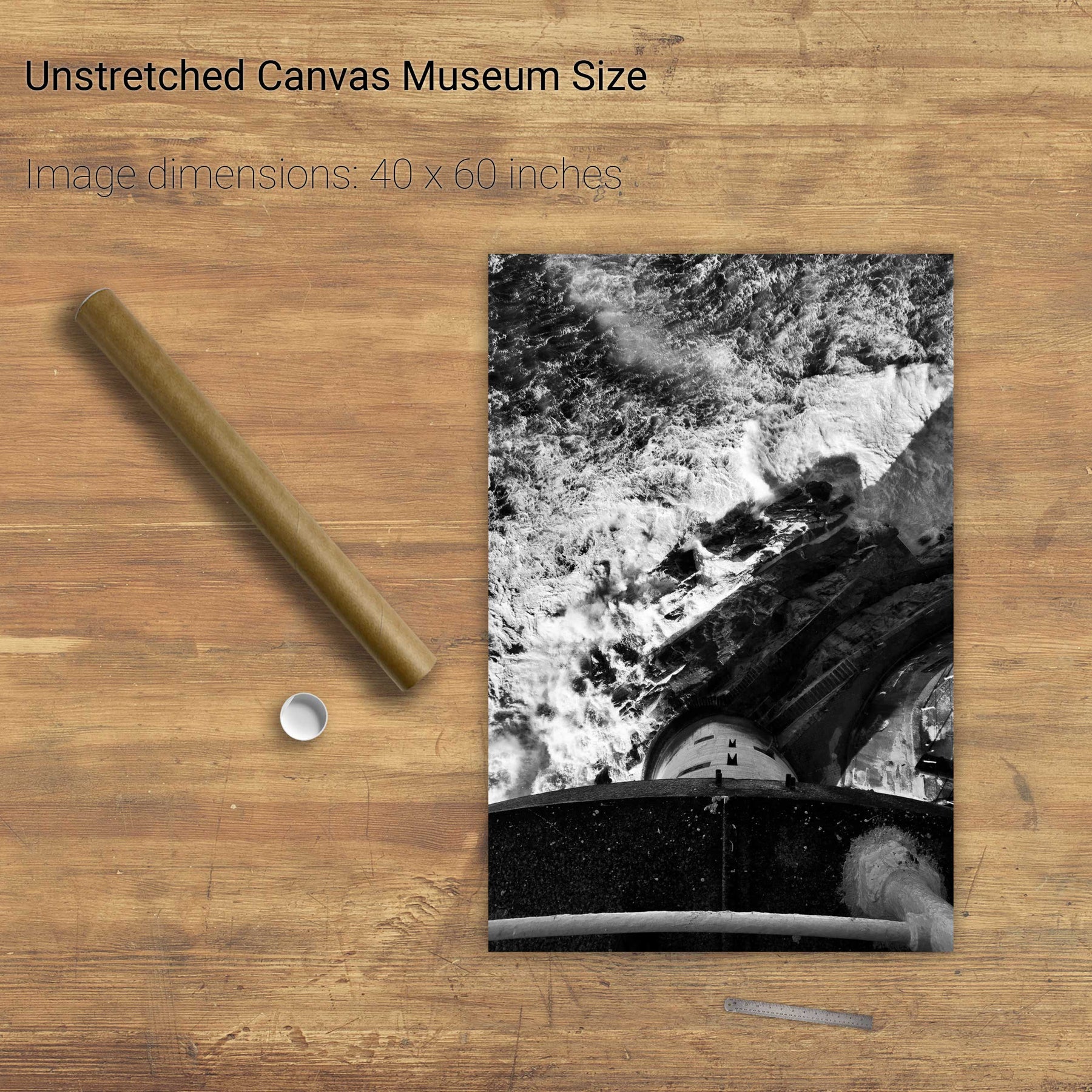
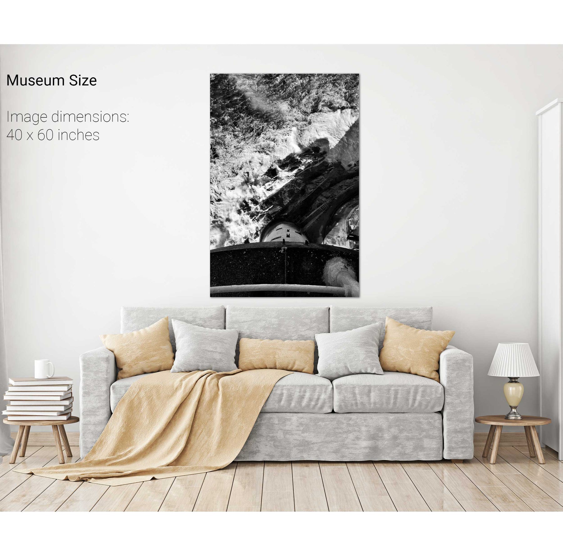
The Fastnet from the Balcony
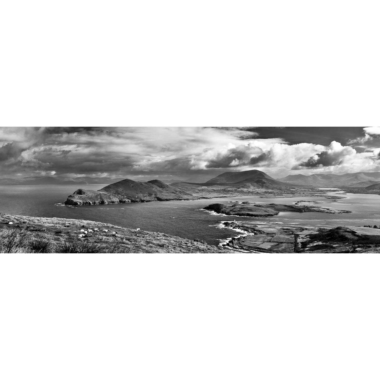
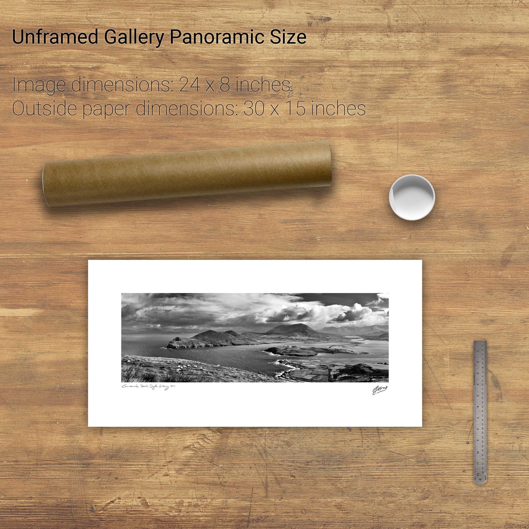
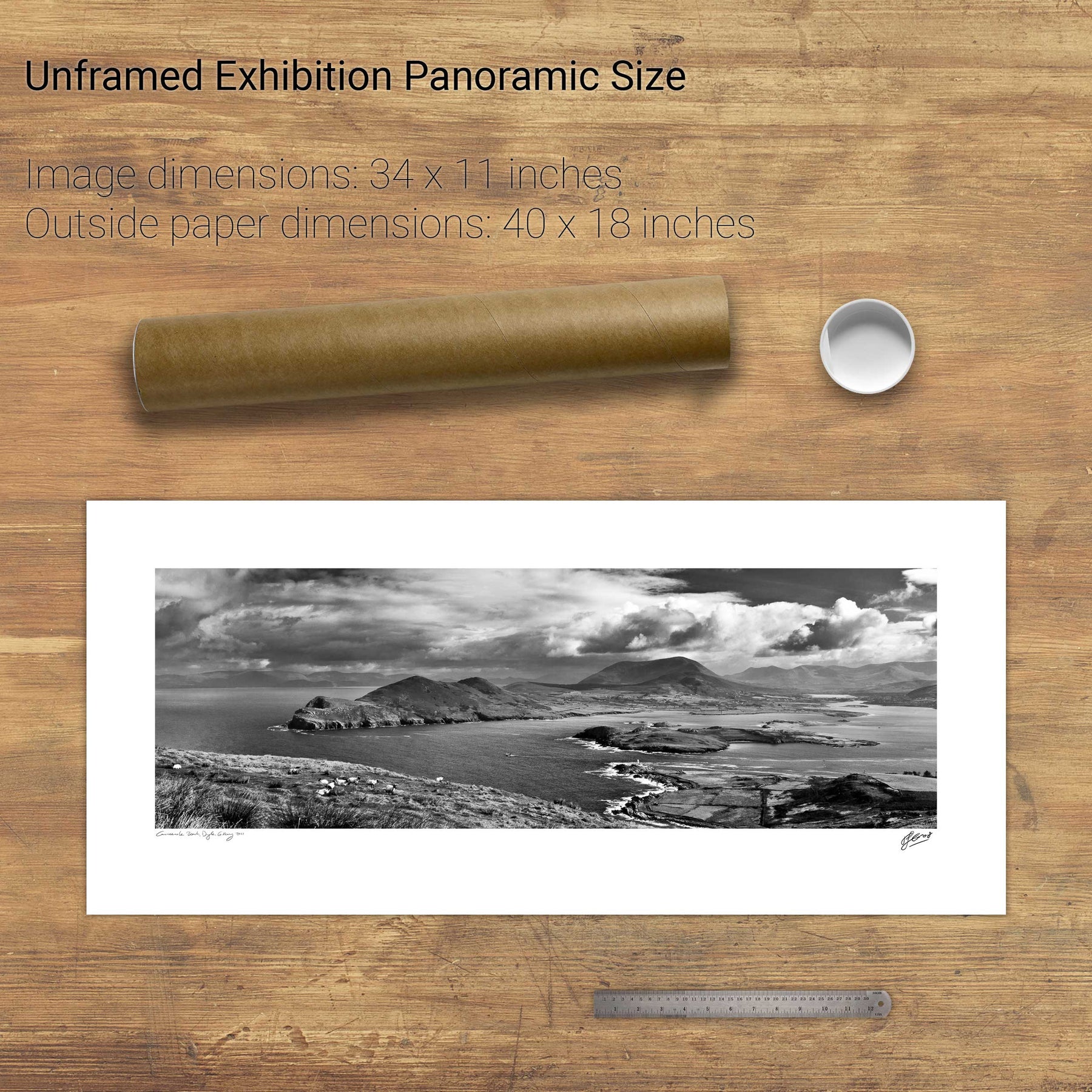
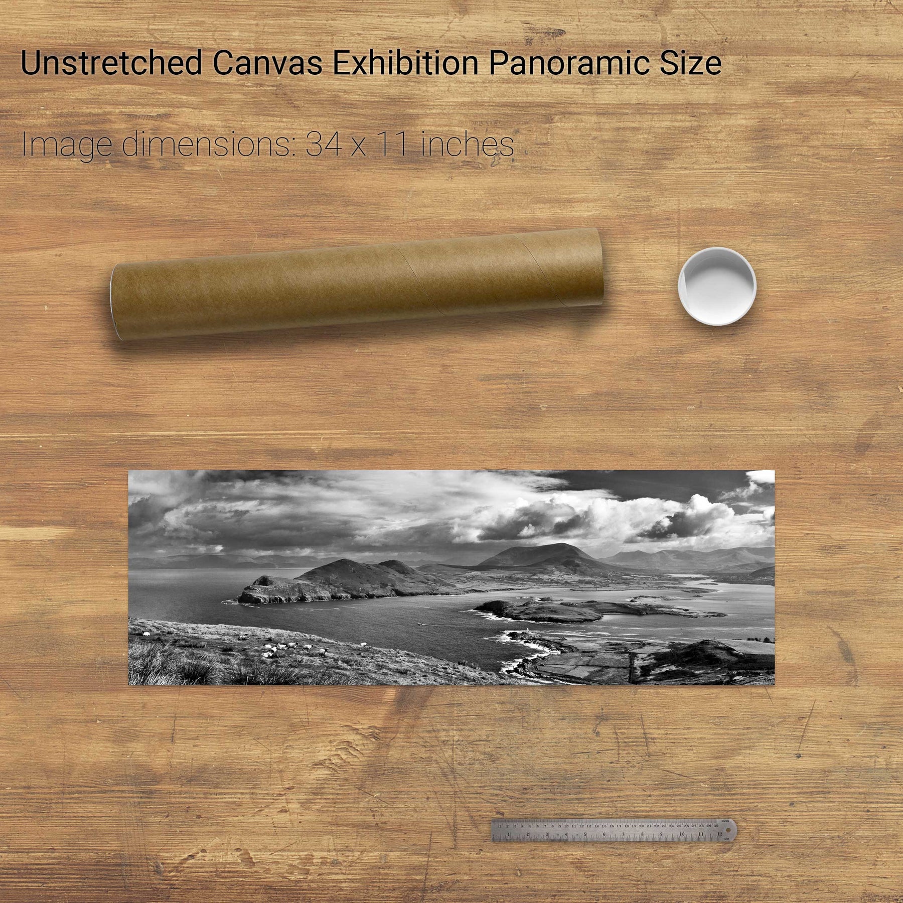
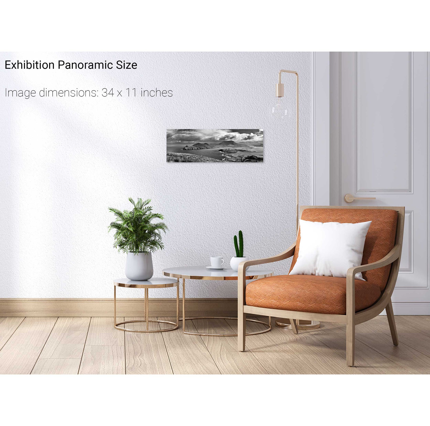
Geokaun Mountain Panoramic, Co. Kerry
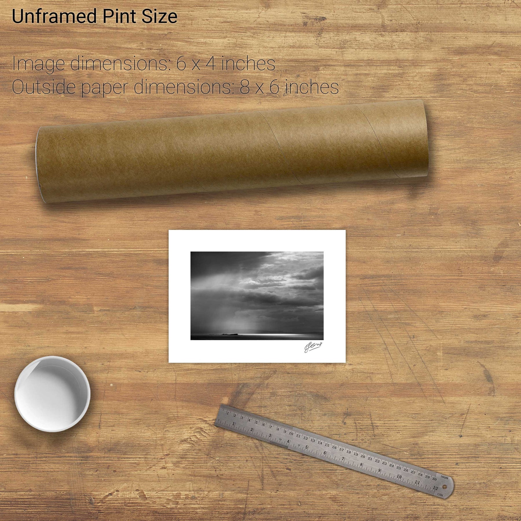
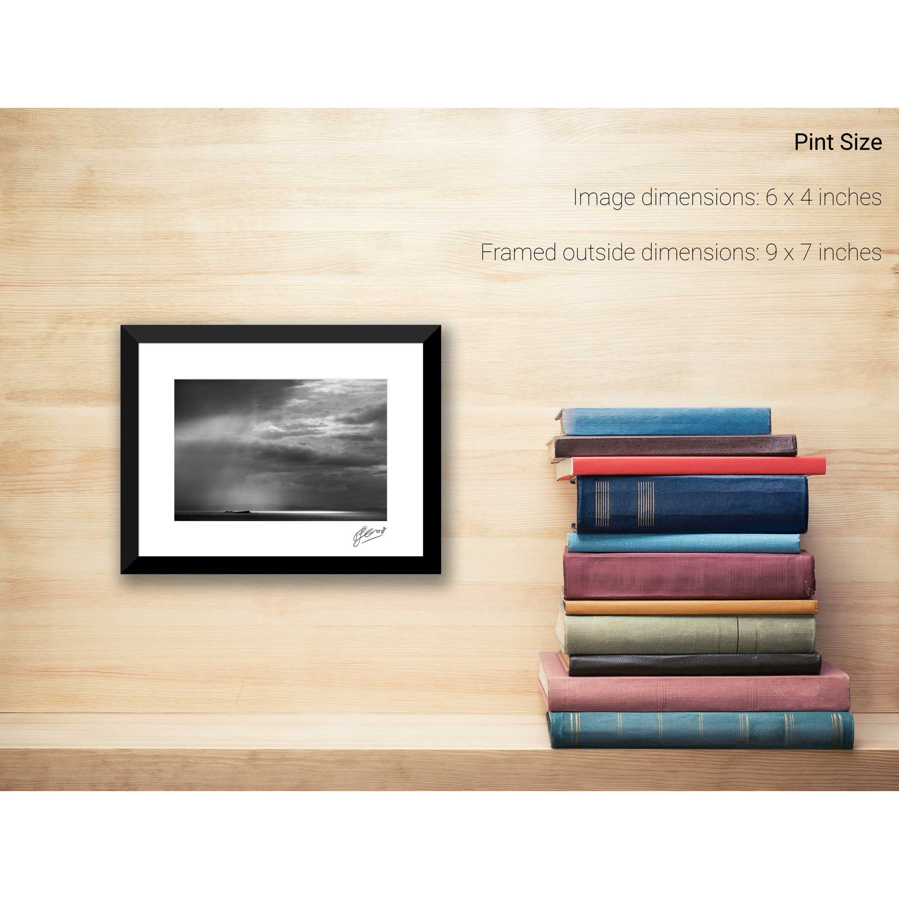
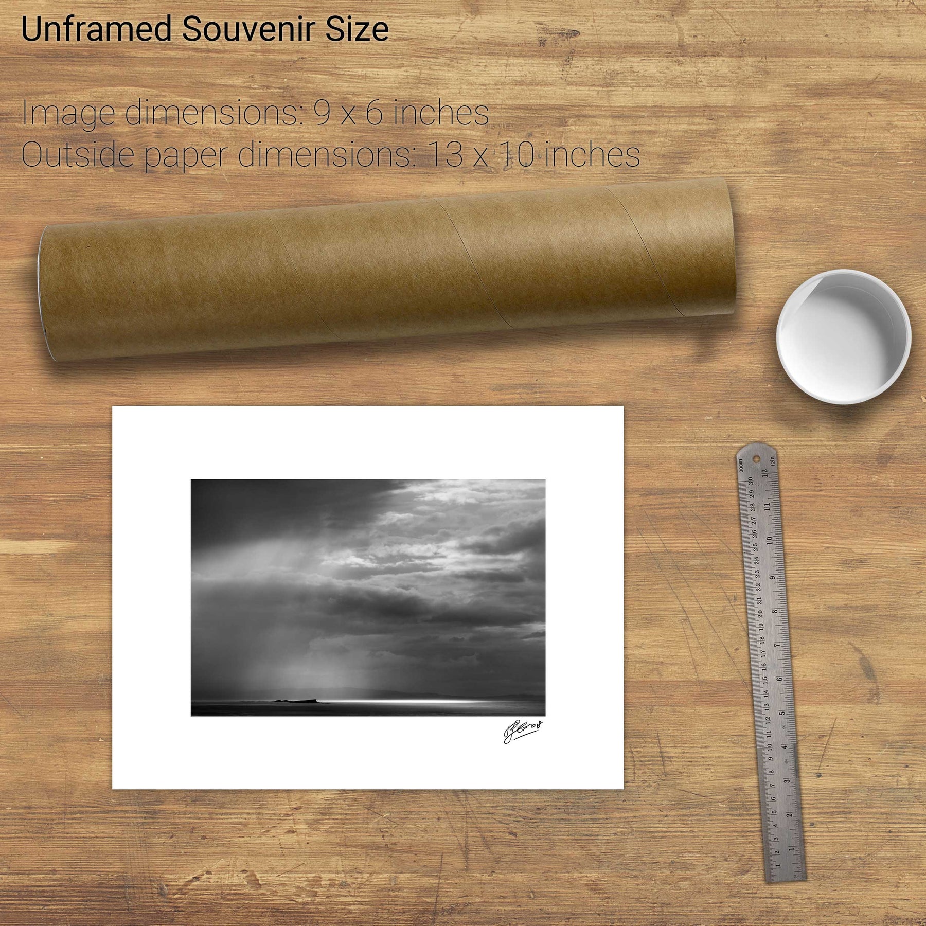
Rainstorm, the Skerries, Co. Antrim